The best road cycling routes in Sutatausa
4.0
(2)
68
riders
6
rides
Road cycling routes in Sutatausa traverse a landscape characterized by the towering Farallones de Sutatausa rock formations and the expansive Ubaté Valley. The region features varied terrain, including pine forests and views of the Laguna de Fúquene. Road surfaces are mostly paved, with some challenging segments. This area offers elevation gains suitable for different fitness levels.
Best road cycling routes in Sutatausa
- The most popular road cycling route is View of Laguna de Fúquene – Novoa–Chircal Connector Trail loop from…
Last updated: July 1, 2026
3.0
(1)
31
riders
Hard road ride. Very good fitness required. Some segments of this route may be unpaved and difficult to ride.
10
riders
42.1km
02:02
480m
480m
Moderate road ride. Good fitness required. Mostly well-paved surfaces and easy to ride.

Sign up for free
10
riders
56.8km
02:36
410m
410m
Moderate road ride. Good fitness required. Mostly well-paved surfaces and easy to ride.
5.0
(1)
7
riders
39.9km
02:21
690m
690m
Moderate road ride. Good fitness required. Some segments of this route may be unpaved and difficult to ride.
5
riders
21.8km
01:11
270m
270m
Easy road ride. Great for any fitness level. Mostly well-paved surfaces and easy to ride.
Our route recommendations are based on thousands of hikes, rides, and runs completed by other people on komoot.
Start today with a free account
Your next adventure awaits.
Login or Signup
Popular around Sutatausa
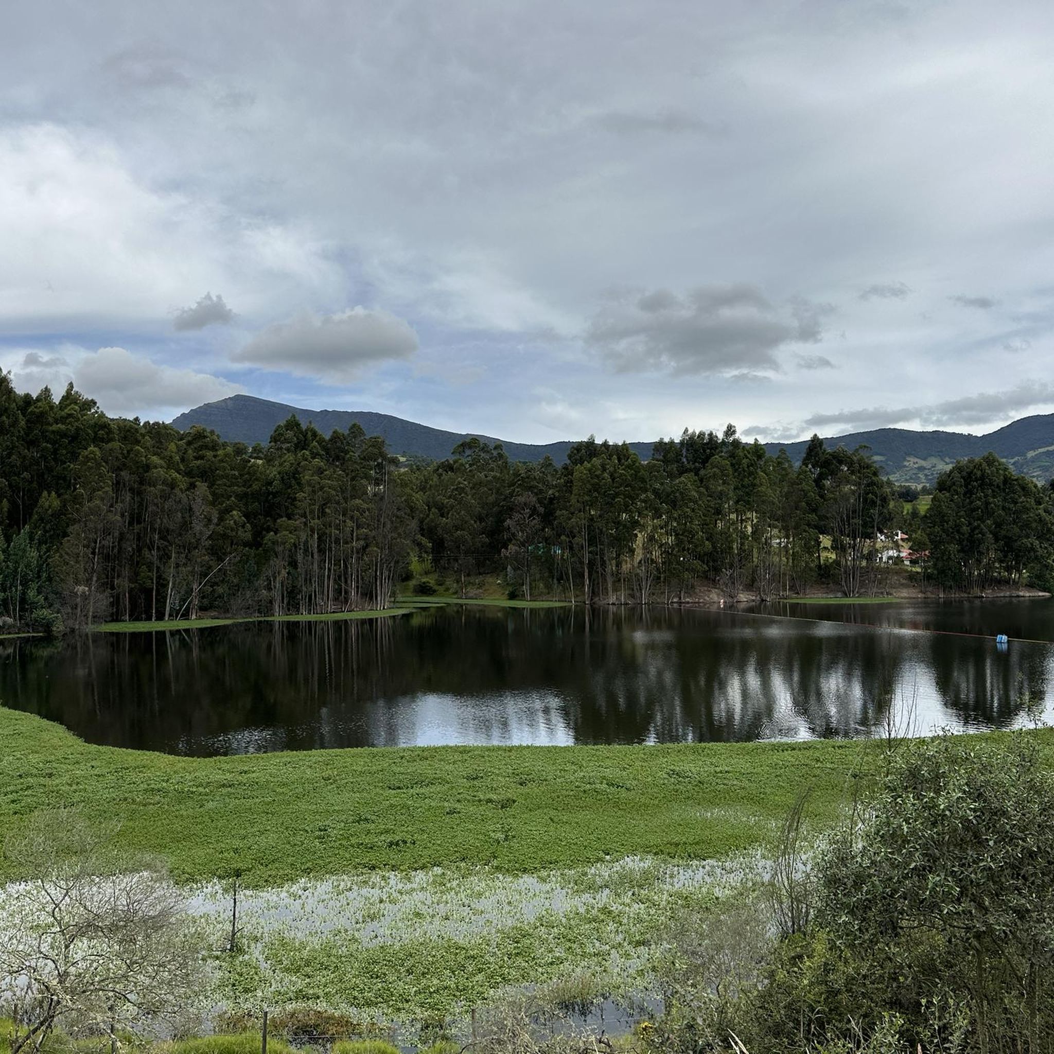
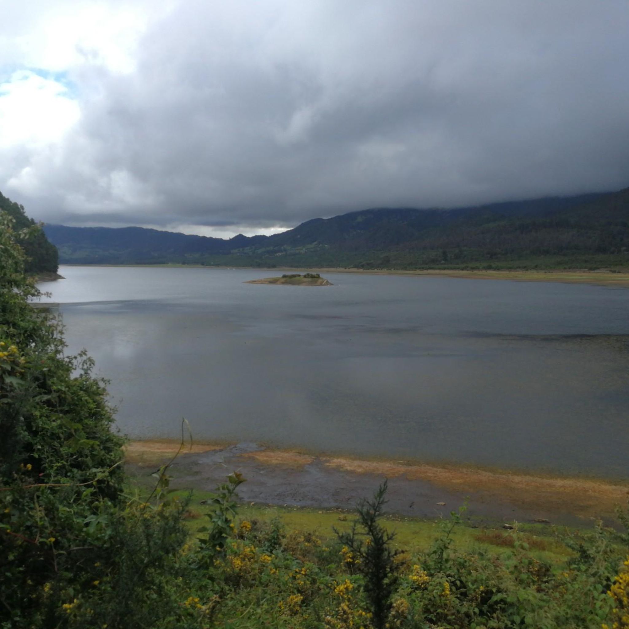
Tips from the Community

Mirador de la laguna de fuquene, shops. On the road. avoid night traffic
0
0
Heavy traffic highway, one lane and no shoulder. watch out
0
0
Sigle track that connects the village of Novoa with Sutatausa.
0
0
Small town paved in its streets, they recognize her as "The pretty girl of the Ubaté Valley" with the church in the upper part of the mountain, food and lodging are obtained, currently it is recommended for XC, DH has high-level slopes. and adventure connecting municipalities such as Suesca, Leguanzaque, Ubaté, Sutatausa and Guachetá
0
0
Path that connects the path of Palacio and Novoa (Sutatausa) with the main road that goes to Cucunuba
0
0
Municipality of Fúquene, 7 km from the main highway 45A, characterized by work the "junco" that is produced in the lagoon and is the raw material of its crafts.
0
0
Frequently Asked Questions
How many road cycling routes are available in Sutatausa?
There are 6 road cycling routes in Sutatausa, offering options for various skill levels. These include 1 easy, 4 moderate, and 1 difficult route, ensuring a suitable challenge for every cyclist.
What kind of terrain can I expect on road cycling routes in Sutatausa?
Sutatausa's road cycling routes feature varied terrain, including lush pine forests and expansive valley views, particularly around the majestic Farallones de Sutatausa. While most surfaces are well-paved, some segments might be unpaved or challenging. You'll encounter significant elevation changes, with routes ranging from easy to difficult.
When is the best time of year for road cycling in Sutatausa?
Sutatausa enjoys a mild climate year-round, making it suitable for cycling most of the time. However, the dry seasons, typically between December and March or July and August, offer the most ideal conditions for road cycling.
Are there any easy road cycling routes suitable for beginners or families in Sutatausa?
Yes, there is an easy road cycling route available. The Tausavita Trail – Sutatausa loop from Ubaté is a 21.8 km path with moderate elevation gain, perfect for those looking for a less strenuous ride.
What are the most scenic viewpoints or natural features along the road cycling routes?
Many routes offer breathtaking panoramic views of the Colombian Andes and the Ubaté Valley, especially around the towering Farallones de Sutatausa. You can also expect scenic views of the Laguna de Fúquene, such as on the Laguna de Fúquene – View of Laguna de Fúquene loop from Ubaté route. For specific viewpoints, consider visiting View of Laguna de Fúquene from Monroy or View of Neusa Reservoir.
Are there any loop routes available for road cycling in Sutatausa?
Yes, several road cycling routes in Sutatausa are designed as loops. For instance, the View of Laguna de Fúquene – Novoa–Chircal Connector Trail loop from Sutatausa and the Sutatausa – Palacio Lagoon loop from Sutatausa are popular circular options.
What is the longest road cycling route in Sutatausa?
The longest road cycling route is the View of Laguna de Fúquene – Novoa–Chircal Connector Trail loop from Sutatausa, which spans 132.5 km and features significant elevation gain, making it a challenging ride for experienced cyclists.
What do other road cyclists enjoy most about cycling in Sutatausa?
The road cycling routes in Sutatausa are highly rated by the komoot community, with an average score of 4.0 stars. Cyclists often praise the stunning views of the Farallones de Sutatausa and Laguna de Fúquene, as well as the varied terrain that offers a good challenge.
How accessible is Sutatausa for cyclists traveling from Bogotá?
Sutatausa is conveniently located approximately 90 minutes from Bogotá, making it an accessible escape for cyclists. Public transport options, such as buses, are available from Bogotá, though policies regarding transporting bicycles should be checked with individual operators.
Are there any cultural or historical points of interest along the cycling routes?
While cycling, you'll be in an area rich with Muisca indigenous heritage. The Farallones de Sutatausa feature ancient rock art (pictograms and petroglyphs). The town of Sutatausa itself boasts colonial architecture and preserved murals, reflecting its historical past. You might also pass by areas like Vereda Novoa, which offers a glimpse into the local landscape.
What is the elevation gain like on Sutatausa's road cycling routes?
The elevation gain varies significantly across routes. For example, the easy Tausavita Trail – Sutatausa loop from Ubaté has around 269 meters of ascent, while the difficult View of Laguna de Fúquene – Novoa–Chircal Connector Trail loop from Sutatausa involves over 950 meters of climbing.
Most popular routes in Sutatausa
Most popular attractions in Sutatausa

Get inspired with the komoot mobile app


Explore more
Browse the best Road cycling routes in other regions.
