The best road cycling routes in Subachoque
4.7
(88)
1,360
riders
13
rides
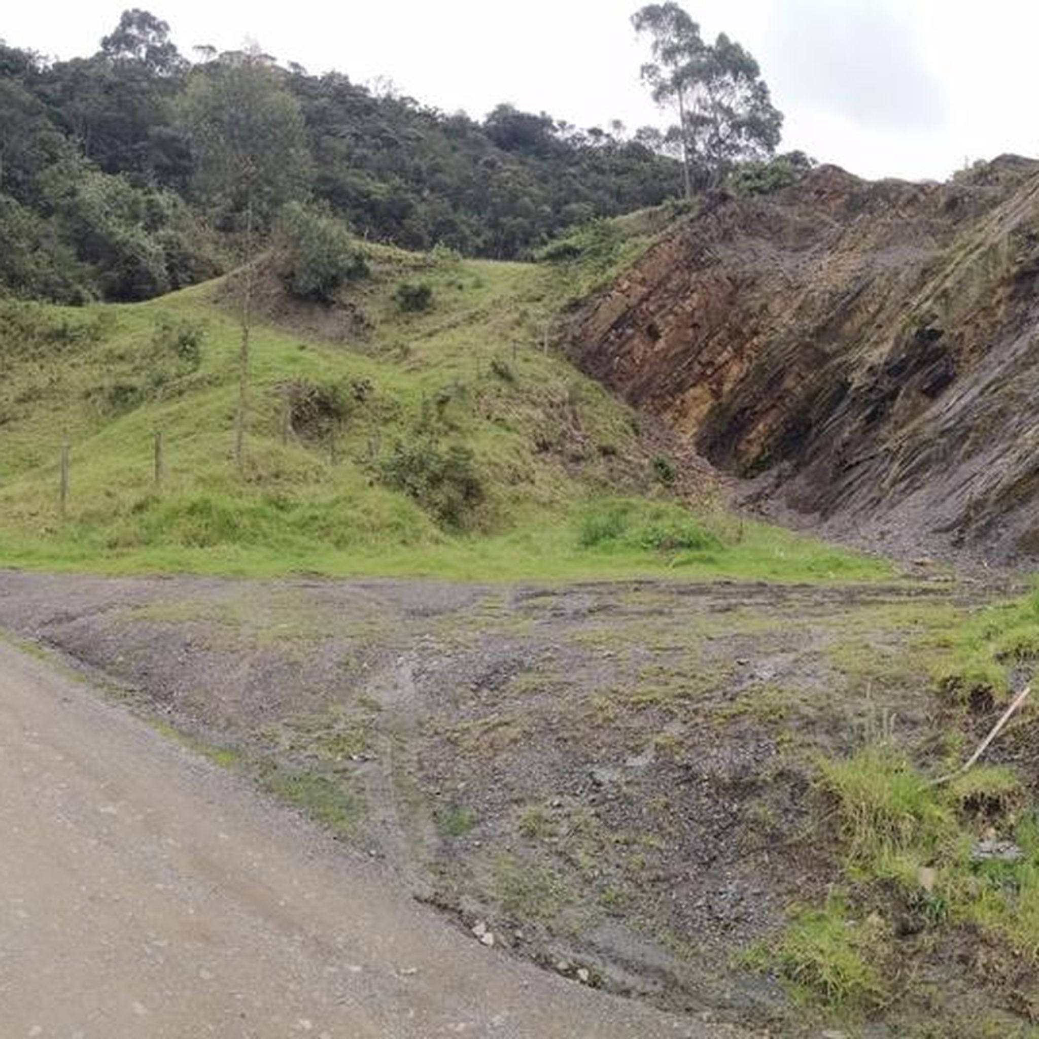
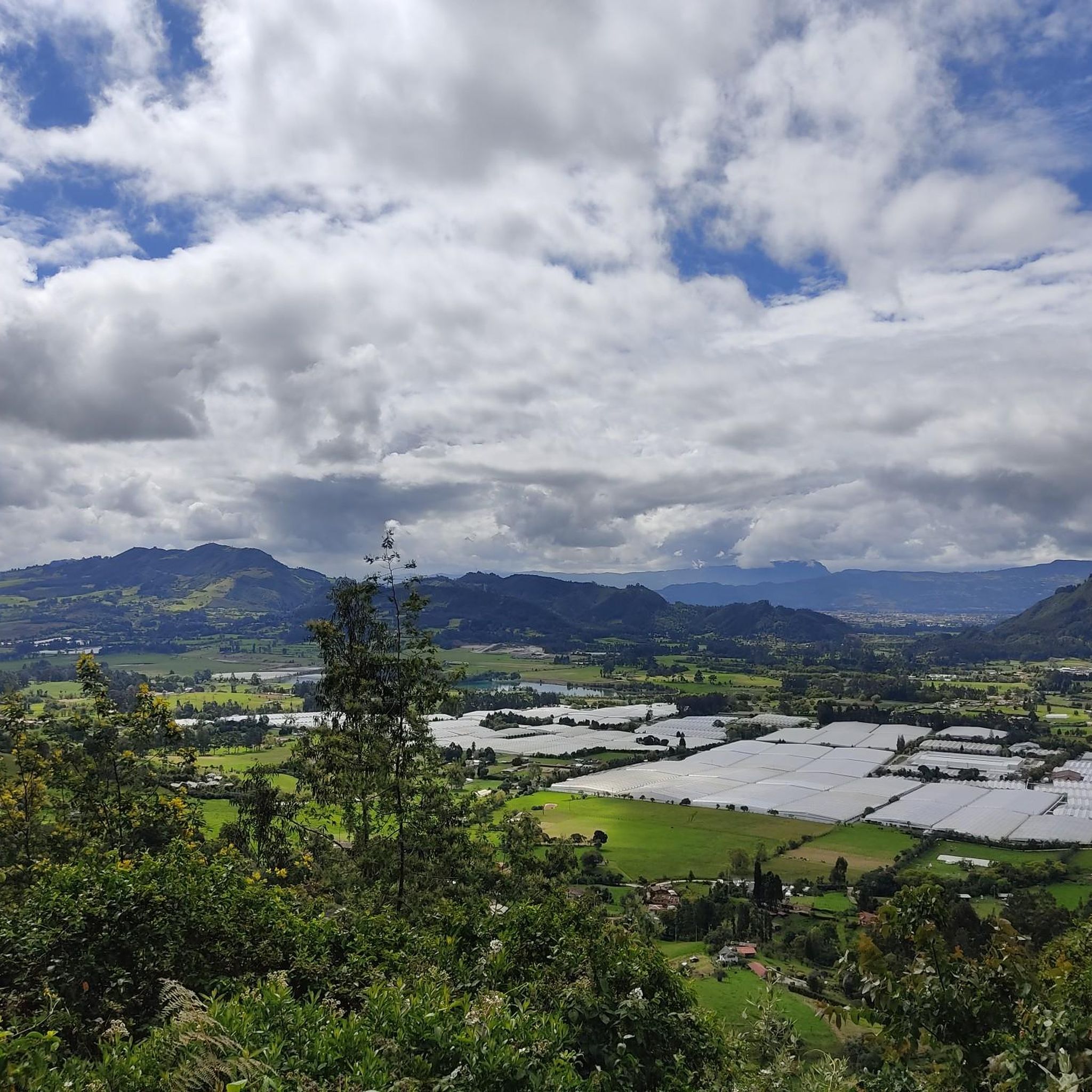
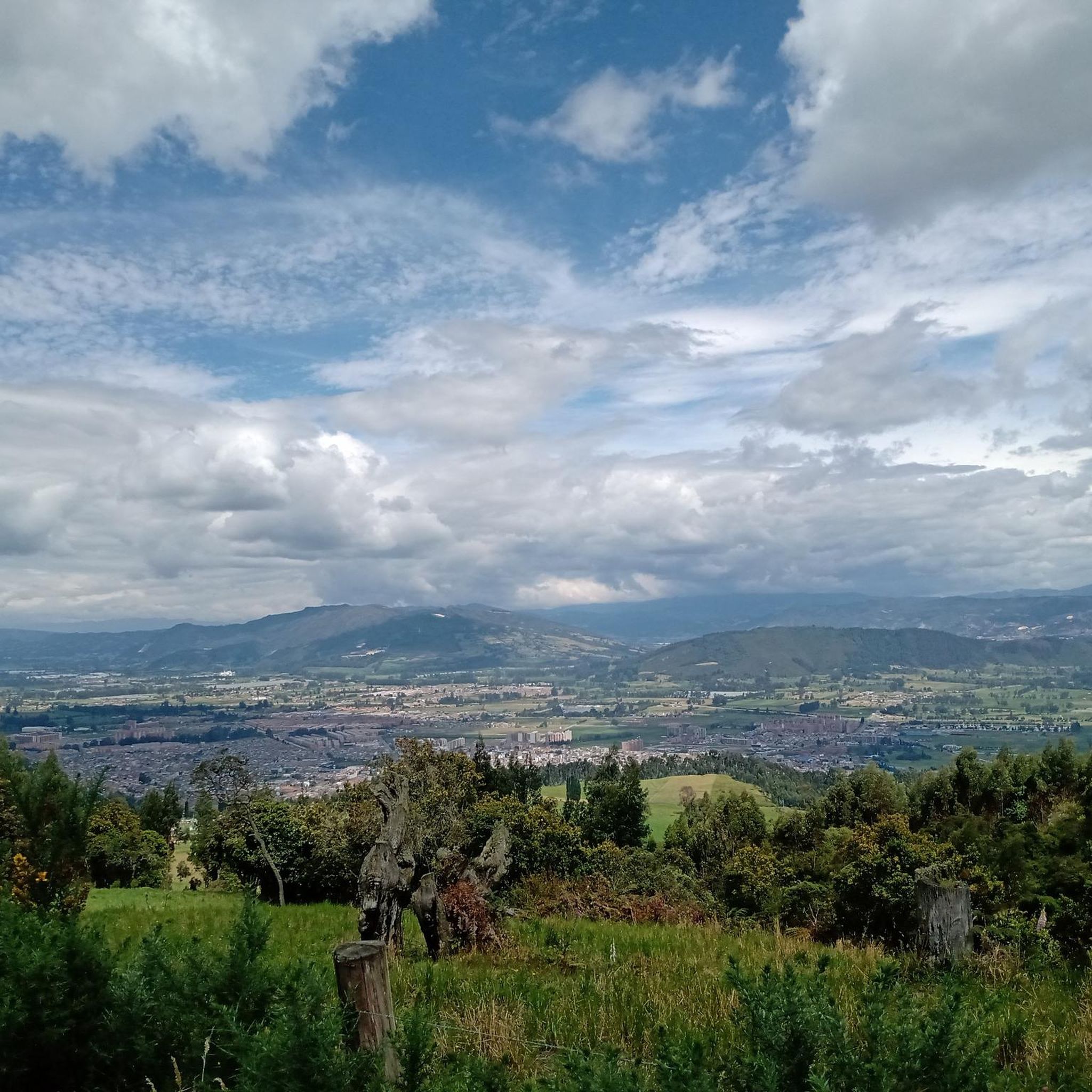
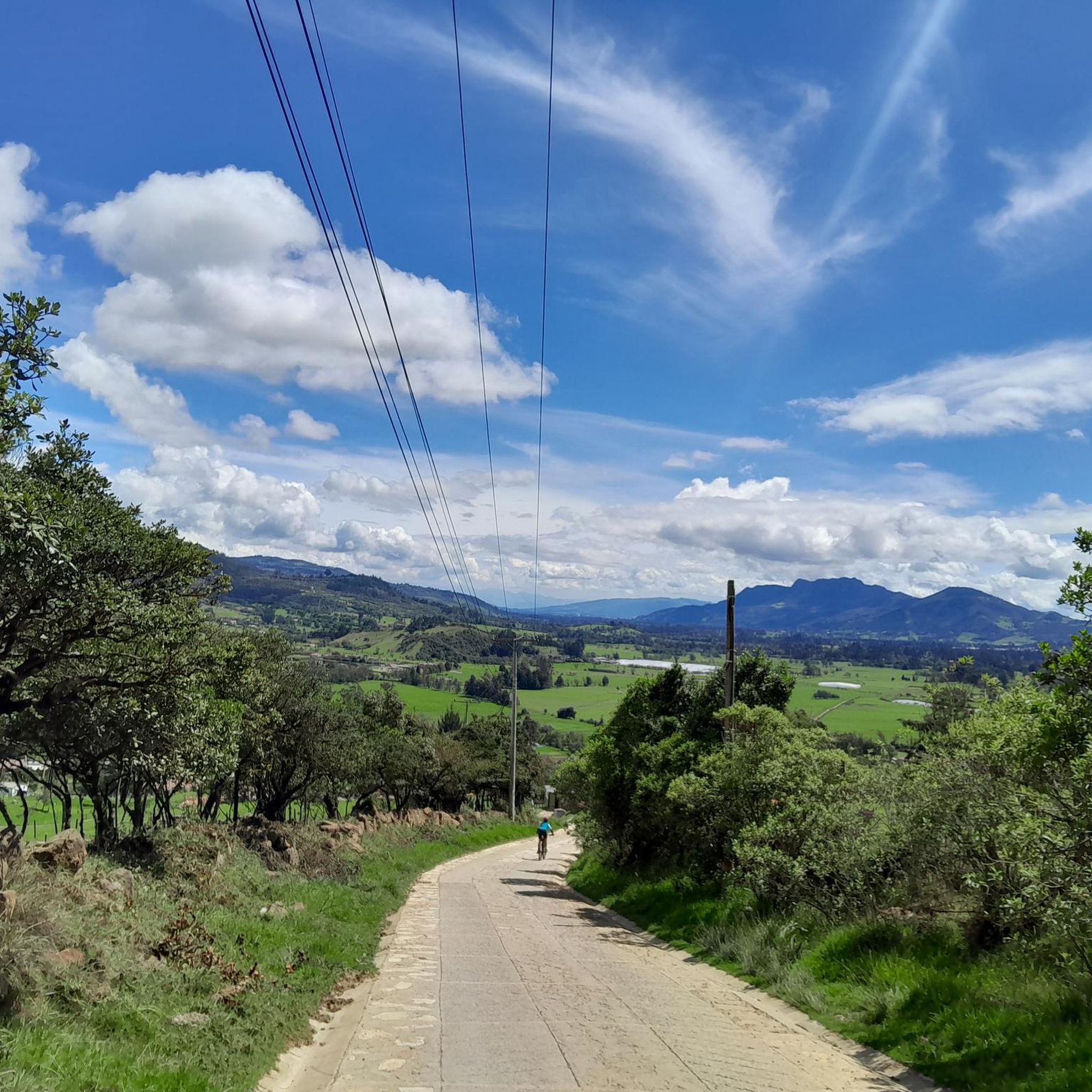
Road cycling routes in Subachoque are situated in a municipality approximately 45 kilometers from Bogotá, at an elevation of 2,600 to 2,663 meters above sea level. The terrain features diverse landscapes, including green areas, cattle farms, and fertile agricultural lands, traversed by low-traffic roads. The region offers a mix of routes, from gentle gradients to demanding climbs, with notable viewpoints providing scenic vistas.
Best road cycling routes in Subachoque
- The most popular road cycling route is La Vega – La…
Last updated: July 1, 2026
5.0
(3)
40
riders
25.7km
01:43
830m
830m
Moderate road ride. Good fitness required. Mostly well-paved surfaces and easy to ride.
5.0
(1)
40
riders
29.5km
01:28
420m
420m
Moderate road ride. Good fitness required. Mostly well-paved surfaces and easy to ride.

Sign up for free
5.0
(1)
26
riders
57.8km
02:33
220m
220m
Moderate road ride. Good fitness required. Mostly well-paved surfaces and easy to ride.
25
riders
33.0km
01:41
530m
530m
Moderate road ride. Good fitness required. Mostly well-paved surfaces and easy to ride.
5.0
(1)
23
riders
15.5km
00:56
350m
350m
Moderate road ride. Good fitness required. Some segments of this route may be unpaved and difficult to ride.
Get access to more routes and recommendations from other explorers.
Sign up for free
Already have an account?
Our route recommendations are based on thousands of hikes, rides, and runs completed by other people on komoot.
Start today with a free account
Your next adventure awaits.
Login or Signup
Tips from the Community


BEAUTIFUL LANDSCAPES AND GOOD TRAINING
1
1


A great route from Bogotá to catch the bottom 🚴♂️⛰️🍃
0
0

Good objective, I suggest via Patios round trip to train various types (hill, bottom, hitts if you want in Arepas).
0
0
Super route, adequate slope, good double lane road, good food in La Vega to climb. Be careful when going down because of the speed that can be reached.
0
0

Frequently Asked Questions
How many road cycling routes are available in Subachoque?
Subachoque offers a diverse selection of road cycling routes, with 14 distinct tours available. These routes cater to various skill levels, ensuring there's something for every cyclist.
What are the typical elevations and terrain like for road cycling in Subachoque?
Subachoque is situated at an elevation of approximately 2,600 to 2,663 meters above sea level. The terrain features diverse landscapes, including green areas, cattle farms, and fertile agricultural lands, traversed by low-traffic roads. You'll encounter a mix of gentle gradients and demanding climbs.
What is the overall difficulty level of road cycling routes in Subachoque?
The routes in Subachoque offer a range of difficulties. You'll find 1 easy route, 8 moderate routes, and 5 difficult routes, providing options for cyclists of all experience levels.
Are there any scenic viewpoints along the road cycling routes in Subachoque?
Yes, Subachoque is known for its beautiful vistas. Notable viewpoints include Alto Canicas, which can be approached from Subachoque or Tabio, and the La Vega Terrace Viewpoint. These spots offer excellent scenery of the surrounding areas, including the Sopo Reservoir. You can explore routes like the Alto Canicas Viewpoint – Alto de Canicas loop from Tenjo for these views.
What natural features can I expect to see while cycling in Subachoque?
Beyond the green areas and agricultural lands, Subachoque boasts impressive natural features. You might encounter the páramo ecosystem at Cerro El Tablazo, characterized by frailejones and cloud-covered scenery. The serene Puente Piedra–Subachoque Road also offers beautiful rural landscapes.
Are there places to eat or drink catering to cyclists in Subachoque?
Absolutely. Subachoque has a growing cycling culture with establishments specifically catering to cyclists. You can find places like 3 Puertos Gravel Bike Bistro and Cyclist Café, offering food, drinks, and sometimes even cycling equipment. The main square of Subachoque also has many old houses selling snacks, especially on weekends.
What do other cyclists enjoy most about road cycling in Subachoque?
The komoot community highly rates road cycling in Subachoque, with an average score of 4.7 stars from over 80 reviews. Cyclists frequently praise the low-traffic roads, diverse landscapes, and the rewarding views from various viewpoints. The presence of dedicated cycling cafes also adds to the positive experience.
Are there any challenging climbs for experienced road cyclists in Subachoque?
Yes, Subachoque offers several challenging climbs. The ascent to Alto Canicas is a popular choice, and the Puente Piedra–Subachoque Road is described as a great alternative to Alto del Vino, featuring steep yet pedal-friendly segments. The Patiguapos Climb (San Jorge) is another scenic option for those seeking a good workout.
Can I find circular road cycling routes in Subachoque?
Many of Subachoque's road cycling routes are designed as loops, offering a complete experience without retracing your path. Examples include the La Vega – La Vega Terrace Viewpoint loop from San Francisco and the Cyclist Café – Briceño loop from Santa Barbara.
What should I consider regarding weather and wind when road cycling in Subachoque?
Given Subachoque's elevation, the climate is generally pleasant. However, it's recommended to bring windbreaks, especially when tackling routes like the Puente Piedra–Subachoque Road, as strong winds can be a factor. Always check the local weather forecast before heading out.
Are there any specific routes that offer a good balance of challenge and scenic beauty?
For a route that combines rewarding views with a moderate challenge, consider the La Vega – La Vega Terrace Viewpoint loop from San Francisco. It's a 25.7 km trail that takes about 1 hour 43 minutes to complete and offers excellent scenery.
What kind of agricultural produce is common in the Subachoque region that I might see during my ride?
As you cycle through Subachoque's fertile agricultural lands, you'll likely see fields of potatoes, carrots, peas, and various fruits. The region is a significant supplier of these products to Bogotá, showcasing its rich rural character.
Most popular attractions in Subachoque

Get inspired with the komoot mobile app


Explore more
Browse the best Road cycling routes in other regions.
