The best road cycling routes in Soacha
4.7
(172)
2,096
riders
27
rides
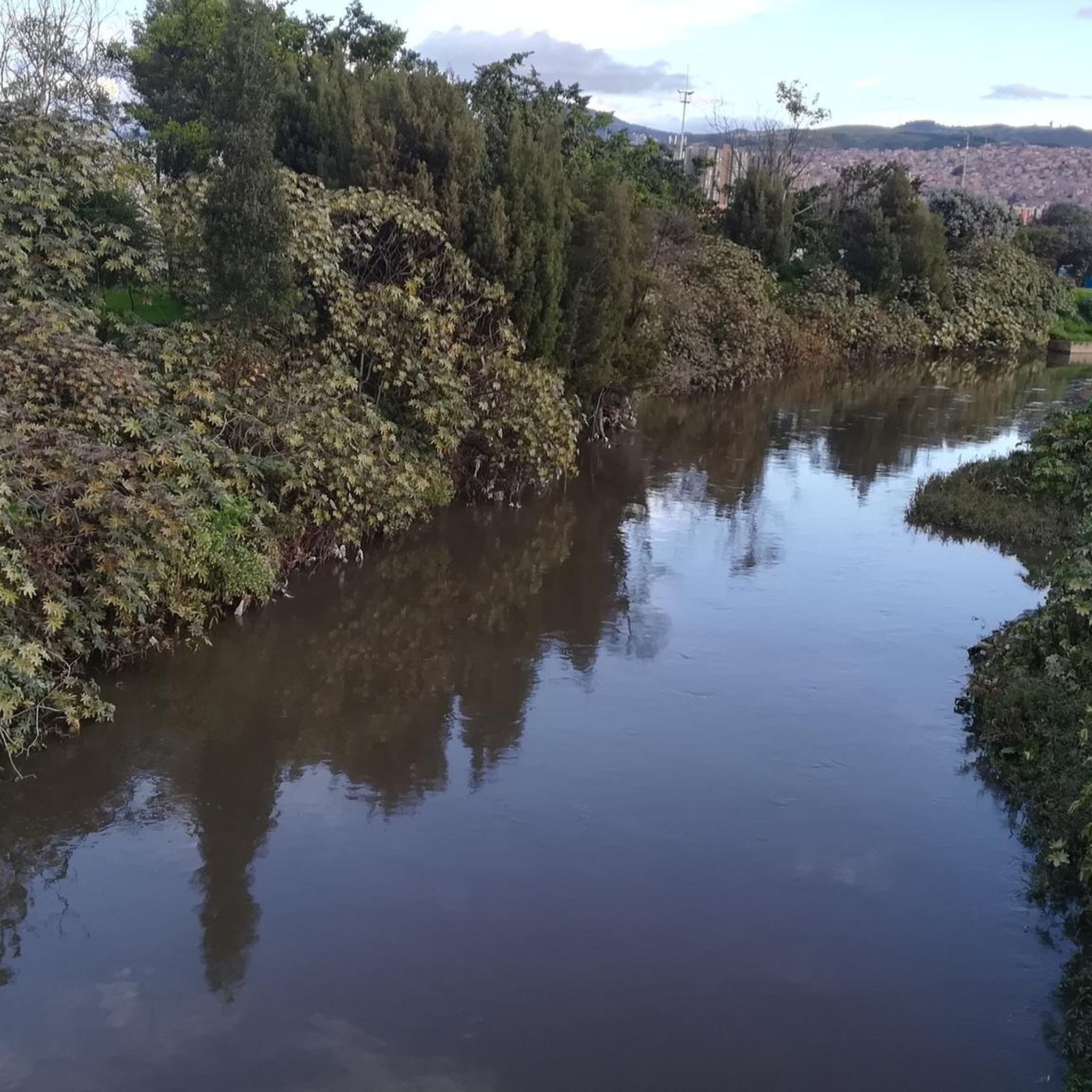
Road cycling routes in Soacha are characterized by diverse landscapes and varying elevations, situated in Colombia's Eastern Cordillera. The region features a mix of paved surfaces and dedicated cycleways, providing a suitable environment for road cyclists. Elevations often exceed 8,200 feet (2,500 meters) above sea level, contributing to cooler mountain air. The geography includes the Bogotá River and the Soacha Lagoon, which are integral to the natural landscape.
Best road cycling routes in Soacha
- The most popular road cycling route…
Last updated: July 1, 2026
4.6
(9)
271
riders
114km
06:05
2,050m
2,050m
Hard road ride. Very good fitness required. Some segments of this route may be unpaved and difficult to ride.
4.9
(33)
154
riders
45.8km
02:25
750m
750m
Moderate road ride. Good fitness required. Mostly well-paved surfaces and easy to ride.

Sign up for free
4.8
(6)
120
riders
94.0km
04:57
1,630m
1,630m
Hard road ride. Very good fitness required. Mostly well-paved surfaces and easy to ride.
5.0
(1)
40
riders
68.8km
04:18
980m
980m
Hard road ride. Very good fitness required. Some segments of this route may be unpaved and difficult to ride.
33
riders
42.8km
03:15
780m
780m
Moderate road ride. Good fitness required. Some segments of this route may be unpaved and difficult to ride.
Get access to more routes and recommendations from other explorers.
Sign up for free
Already have an account?
Our route recommendations are based on thousands of hikes, rides, and runs completed by other people on komoot.
Start today with a free account
Your next adventure awaits.
Login or Signup
Popular around Soacha
Tips from the Community

Don't forget to bring moisturizer.
0
0

It's a tough route. You need to be in good shape. Those who say it's a walk in the park or an easy climb are the ones who drive cars or ride motorcycles. They sit comfortably, sleep, and don't feel a thing.
0
0

The drinks are expensive, and the air is polluted. The road is narrow; you have to be careful of the vehicles.
0
0

Alto de San Miguel distance from Sibate to the toll 7Km moderate climb. On weekends, the road is very busy so be very careful with vehicles. There are safer alternative routes for making the journey by MTB.
0
0

Weekend very busy no bad early on the morning. To much traffic now a days.
0
0
Beautiful landscapes and delicious desserts
0
0
be careful with the cars now a days is a high busy road.
0
0
Frequently Asked Questions
How many road cycling routes are available in Soacha?
Soacha offers a diverse network of nearly 30 road cycling routes, catering to various preferences and skill levels. These routes are highly rated by the komoot community, with an average score of 4.7 stars from over 180 reviews.
What kind of terrain can I expect on road cycling routes in Soacha?
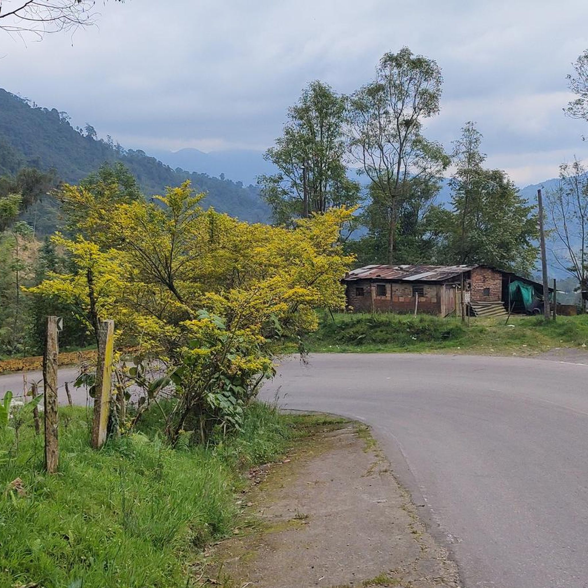
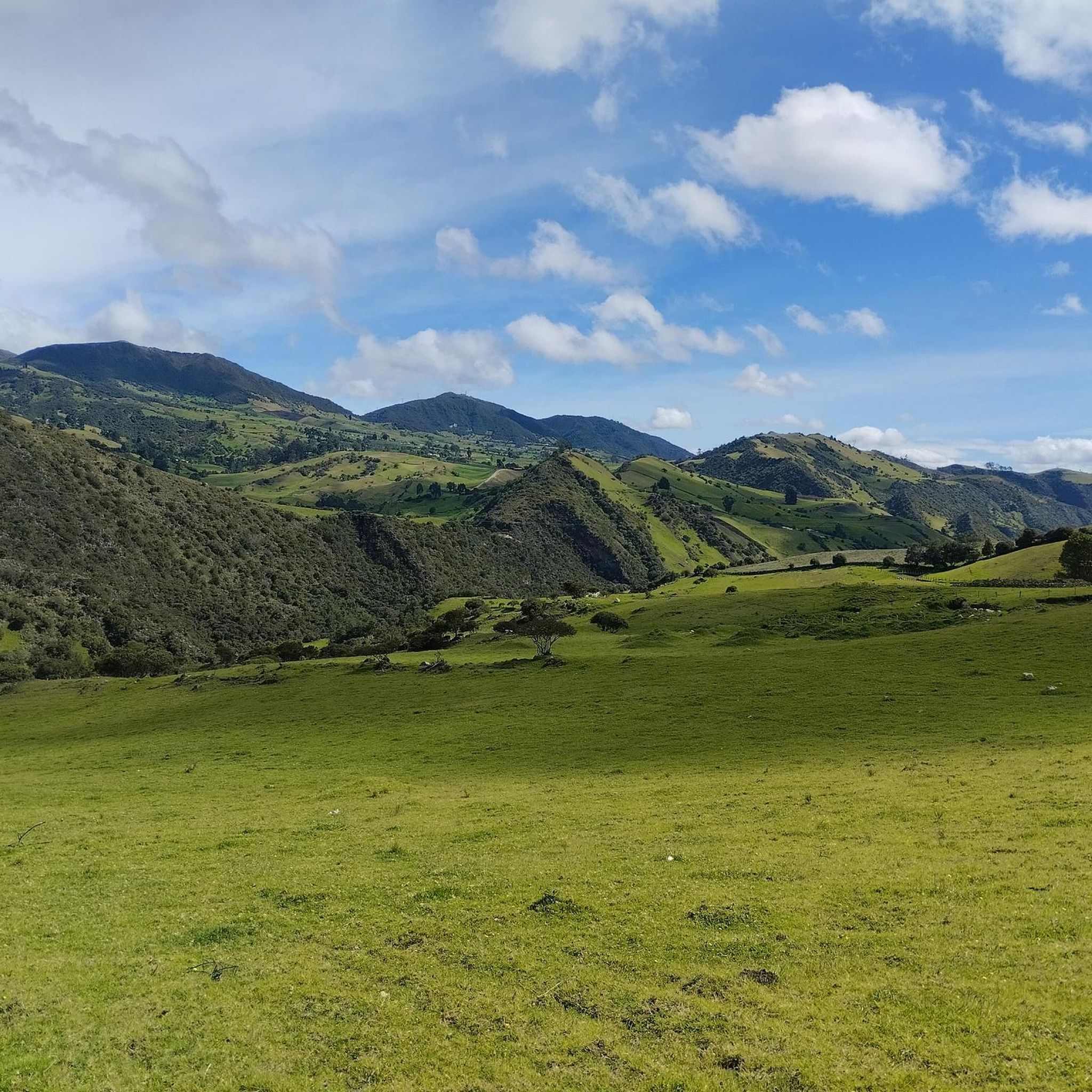
Road cycling in Soacha features diverse terrain, including mountain ascents, river valleys, and areas near cloud forests. The routes primarily consist of paved or asphalt surfaces, with dedicated cycleways covering about 80% of some popular routes, ensuring a smooth ride. Elevations often exceed 2,500 meters above sea level, providing cooler mountain air.
Are there road cycling routes suitable for beginners in Soacha?
Yes, Soacha has routes suitable for beginners. For an accessible ride, consider the Sixth Stop loop from Soacha. This easy 24.6 km (15.3 miles) trail leads through the local area and can typically be completed in about 1 hour 14 minutes.
What are some notable natural features or landmarks I can see while road cycling in Soacha?
Many routes offer scenic views and pass by significant landmarks. A prominent natural landmark is the Tequendama Falls, a spectacular 157-meter waterfall. You can experience this on the Sixth Stop – Tequendama Falls loop from Estación Soacha. Other attractions in the region include the Alto de Mondoñedo Cycling Rest Stop, offering great views, and the tranquil La Chucua Wetland for birdwatching.
When is the best time of year for road cycling in Soacha?
The dry season, typically from December to March, is considered the best time for road cycling in Soacha. During these months, you can expect pleasant weather conditions to enjoy the lush landscapes and cooler mountain air.
Can I find challenging road cycling routes with significant climbs in Soacha?
Absolutely. Soacha's location in the Eastern Cordillera means there are plenty of challenging routes with significant elevation gain. An example is the La Aguadita – Alto de San Miguel loop from Estación 3, a difficult 114.3 km (70.9 miles) trail with nearly 2,000 meters of ascent.
Are there any circular road cycling routes in Soacha?
Yes, many of Soacha's road cycling routes are designed as loops, allowing you to start and finish in the same location. Examples include the Sixth Stop – Tequendama Falls loop from Estación Soacha and the Sixth Stop loop from Soacha.
Are there options for family-friendly road cycling in Soacha?
While many routes involve significant elevation, easier options like the Sixth Stop loop from Soacha are suitable for those seeking a less strenuous ride. Additionally, the region features dedicated cycleways, which can provide a safer and more enjoyable experience for families, allowing cyclists to focus on the scenery rather than traffic.
What do other cyclists enjoy the most about road cycling in Soacha?
The komoot community highly rates road cycling in Soacha, with an average score of 4.7 stars. Reviewers often praise the diverse terrain, from challenging mountain ascents to scenic river valleys, and the opportunity to experience cooler mountain air at elevations exceeding 2,500 meters. The presence of dedicated cycleways and notable landmarks like Tequendama Falls also contributes to a positive experience.
Are there places to stop for refreshments or cafes along the road cycling routes?
Yes, some routes pass by places where you can stop for refreshments. For instance, the Escarabajos Shop is a highlight that serves as a cafe, offering a convenient stop for cyclists. The local communities along the Sendero Ciclo Turístico also provide opportunities for cultural interaction and local amenities.
What is the typical elevation gain on road cycling routes in Soacha?
The elevation gain on road cycling routes in Soacha varies significantly, reflecting the region's diverse terrain. Easy routes might have around 180 meters of ascent, while more challenging routes, such as the La Colina MTB Park – Alto de San Miguel Ascent loop from Ara, can feature nearly 1,000 meters of climbing over 68.8 km (42.7 miles).
Are there road cycling routes that offer panoramic views?
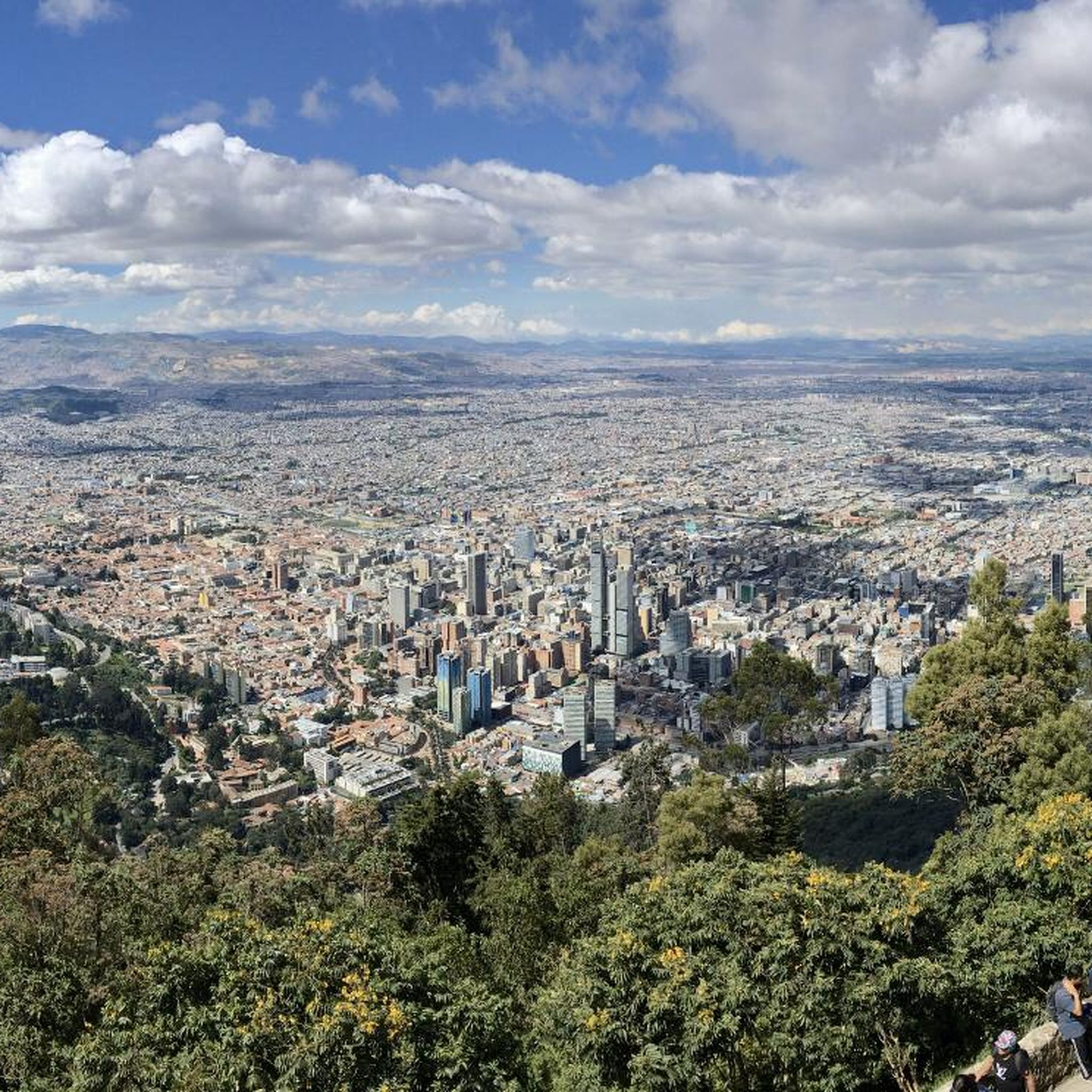
Yes, Soacha's mountainous terrain provides numerous opportunities for panoramic views. Peaks like Cerro de Manjui offer sweeping vistas of the entire region. Many routes, especially those with significant climbs, will reward cyclists with expansive views of the surrounding landscapes, including the Bogotá River and Soacha Lagoon.
Most popular routes in Soacha
Most popular attractions in Soacha

Get inspired with the komoot mobile app


Explore more
Browse the best Road cycling routes in other regions.
