The best walks and hikes in Silvania
4.9
(7)
25
hikers
7
hikes
Hiking in Silvania, located in Cundinamarca, Colombia, offers diverse natural scenery including mountains and varied topography. The region is characterized by rolling hills and natural landscapes suitable for outdoor pursuits. Trails often navigate through mixed woodland terrain and offer views of the surrounding countryside.
Best hiking trails in Silvania
- The most popular hiking route is View of El Indio loop from Estación El Ocobo, a 6.0 miles (9.7 km) trail that takes 3 hours 41 minutes to complete. This…
Last updated: June 29, 2026
5.0
(1)
10
hikers
8.91km
03:28
460m
460m
Moderate hike. Good fitness required. Mostly accessible paths. Sure-footedness required.
5.0
(1)
4
hikers
17.8km
05:09
460m
460m
Hard hike. Very good fitness required. Easily-accessible paths. Suitable for all skill levels.

Sign up for free
5.0
(2)
3
hikers
Hard hike. Very good fitness required. Easily-accessible paths. Suitable for all skill levels.
19.7km
06:20
800m
800m
Hard hike. Very good fitness required. Easily-accessible paths. Suitable for all skill levels.
5
hikers
3.16km
01:04
100m
100m
Moderate hike. Great for any fitness level. Mostly accessible paths. Sure-footedness required.
Get access to more routes and recommendations from other explorers.
Sign up for free
Already have an account?
Our route recommendations are based on thousands of hikes, rides, and runs completed by other people on komoot.
Start today with a free account
Your next adventure awaits.
Login or Signup

Tips from the Community

Frequently Asked Questions
How many hiking trails are available in Silvania?
Silvania offers several hiking routes, with a total of 7 trails currently listed. These routes vary in length and difficulty, providing options for different preferences.
What kind of terrain can I expect on hikes in Silvania?
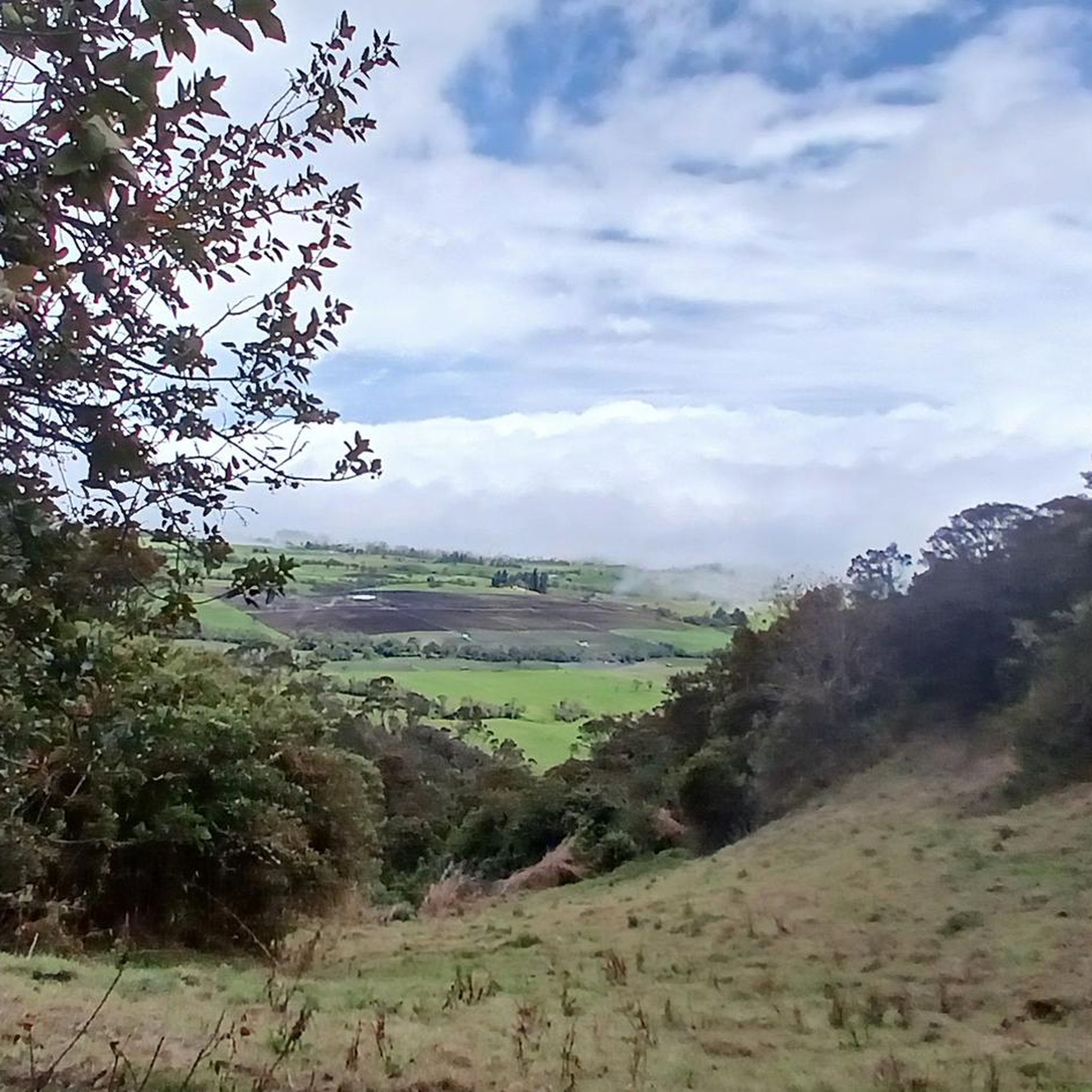
Hiking in Silvania features diverse natural scenery, including rolling hills and varied topography. Trails often navigate through mixed woodland terrain, offering views of the surrounding countryside and natural landscapes characteristic of Cundinamarca, Colombia.
Are there options for different hiking skill levels in Silvania?
Yes, Silvania provides a range of hiking options. You'll find 4 moderate routes and 3 more challenging, difficult trails. There are no easy routes listed, so hikers should be prepared for some elevation gain and varied terrain.
Are there any circular hiking routes in Silvania?
Many of the trails in Silvania are designed as loops, allowing you to start and end at the same point. For example, the View of El Indio loop from Estación El Ocobo is a popular moderate circular route, and the shorter Cara del Indio loop from Reserva Natural de la Sociedad Civil Nakaima also offers a loop experience.
What are some scenic viewpoints or natural attractions to see while hiking in Silvania?
Silvania is known for its natural beauty. A significant natural attraction nearby is Tequendama Falls, a high waterfall on the Bogotá River that offers amazing views. Many trails also provide panoramic vistas of the rolling hills and mixed woodlands.
Are there any shorter, less strenuous hikes suitable for beginners in Silvania?
While there are no routes officially classified as 'easy,' the Cara del Indio loop from Reserva Natural de la Sociedad Civil Nakaima is a moderate 3.2 km (2.0 miles) path with a relatively low elevation gain of 96 meters, making it a good option for those looking for a shorter, less demanding experience.
What do other hikers enjoy most about hiking in Silvania?
The hiking routes in Silvania are highly rated by the komoot community, with an average score of 4.9 stars from over 8 reviews. Hikers often praise the diverse natural scenery, the varied topography, and the opportunity to explore mixed woodlands.
Are there any longer, more challenging hikes for experienced hikers in Silvania?
Yes, for experienced hikers seeking a challenge, Silvania offers several difficult routes. The Ricaurte Sidewalk loop from Fusagasugá is a demanding 17.7 km (11.0 miles) trail with over 450 meters of elevation gain, and another challenging option is the 18.7 km (11.6 miles) Juice and Arepa – Camino Real Crossing, Alaska loop from Universidad de Cundinamarca.
Are there any places to eat or relax near the hiking trails in Silvania?
Yes, you can find places to eat and relax. For instance, La Aguadita is a restaurant highlighted in the area, offering a spot to refuel after your hike. The nearby settlement of Pasca may also offer amenities.
What are some unique landmarks or monuments in the Silvania area?
Beyond natural beauty, Silvania features interesting man-made monuments. You can find the Lucho Herrera Monument and the Mono Gourmet & Cyclist Sculpture, which add cultural points of interest to your visit.
How long do hikes in Silvania typically take?
The duration of hikes in Silvania varies significantly based on the route's length and difficulty. Shorter moderate trails like the Cara del Indio loop can be completed in just over an hour, while longer, more difficult routes such as the Juice and Arepa – Camino Real Crossing, Alaska loop can take nearly six hours.
Most popular routes in Silvania
Most popular attractions in Silvania

Get inspired with the komoot mobile app


Explore more
Browse the best Hikes in other regions.
