The best MTB trails in La Vega
4.8
(48)
384
riders
25
rides
Mountain bike trails in La Vega are situated at the gateway to the Central Mountain Range in the Dominican Republic. The region features a diverse landscape with high mountains, lush rivers, and varied terrain. This mountainous environment provides significant elevation changes and varied surfaces suitable for mountain biking. The area is characterized by its access to the Cordillera Central, offering a backdrop of majestic mountains and diverse ecosystems.
Best mountain bike trails in La Vega
- The most popular mountain bike…
Last updated: June 28, 2026
5.0
(4)
49
riders
57.2km
05:46
2,210m
2,210m
Hard mountain bike ride. Very good fitness required. Suitable for all skill levels.
5.0
(1)
17
riders
37.2km
03:40
1,420m
1,410m
Hard mountain bike ride. Very good fitness required. Suitable for all skill levels.

Sign up for free
5.0
(1)
15
riders
45.5km
04:09
1,460m
1,460m
Hard mountain bike ride. Very good fitness required. Suitable for all skill levels.
5.0
(1)
12
riders
32.0km
03:17
1,200m
1,210m
Hard mountain bike ride. Very good fitness required. Suitable for all skill levels.
11
riders
55.1km
05:25
1,950m
1,950m
Hard mountain bike ride. Very good fitness required. Suitable for all skill levels.
Get access to more routes and recommendations from other explorers.
Sign up for free
Already have an account?
Our route recommendations are based on thousands of hikes, rides, and runs completed by other people on komoot.
Start today with a free account
Your next adventure awaits.
Login or Signup
Popular around La Vega
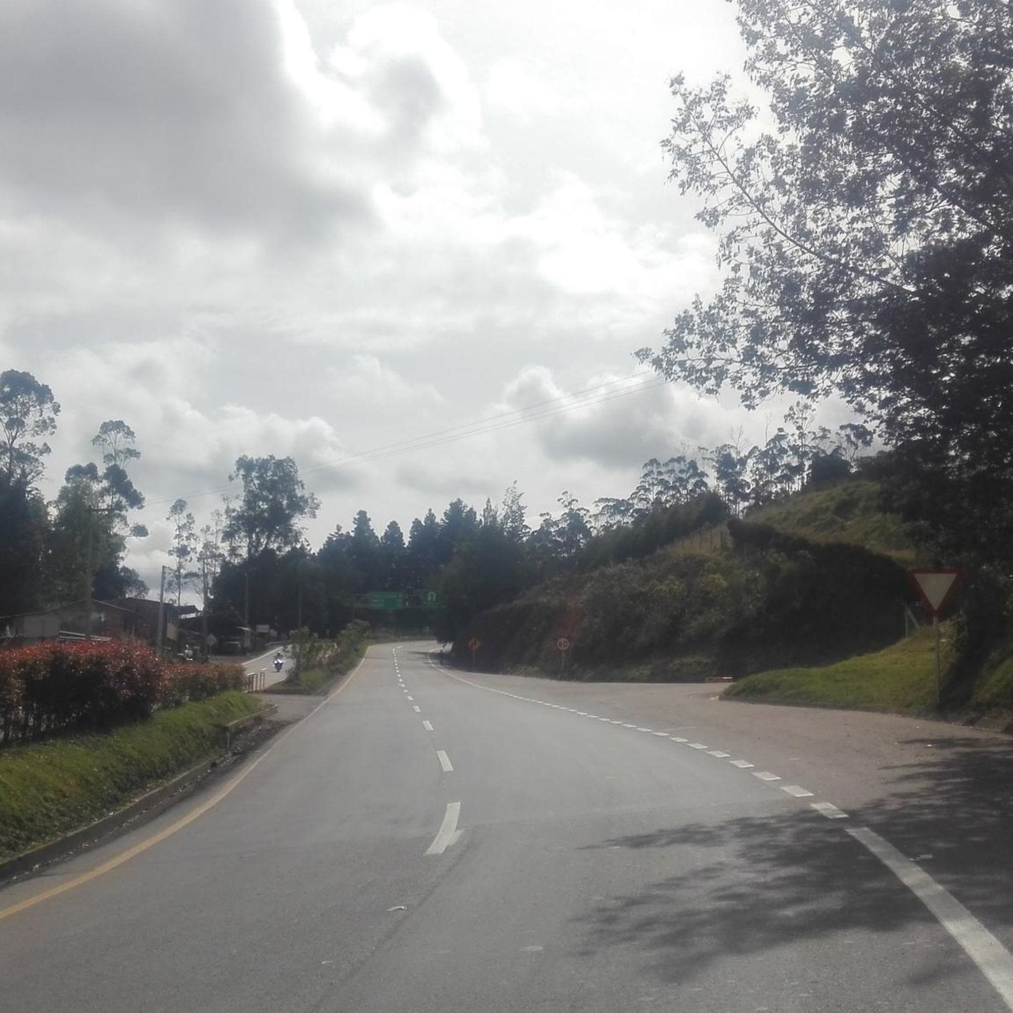
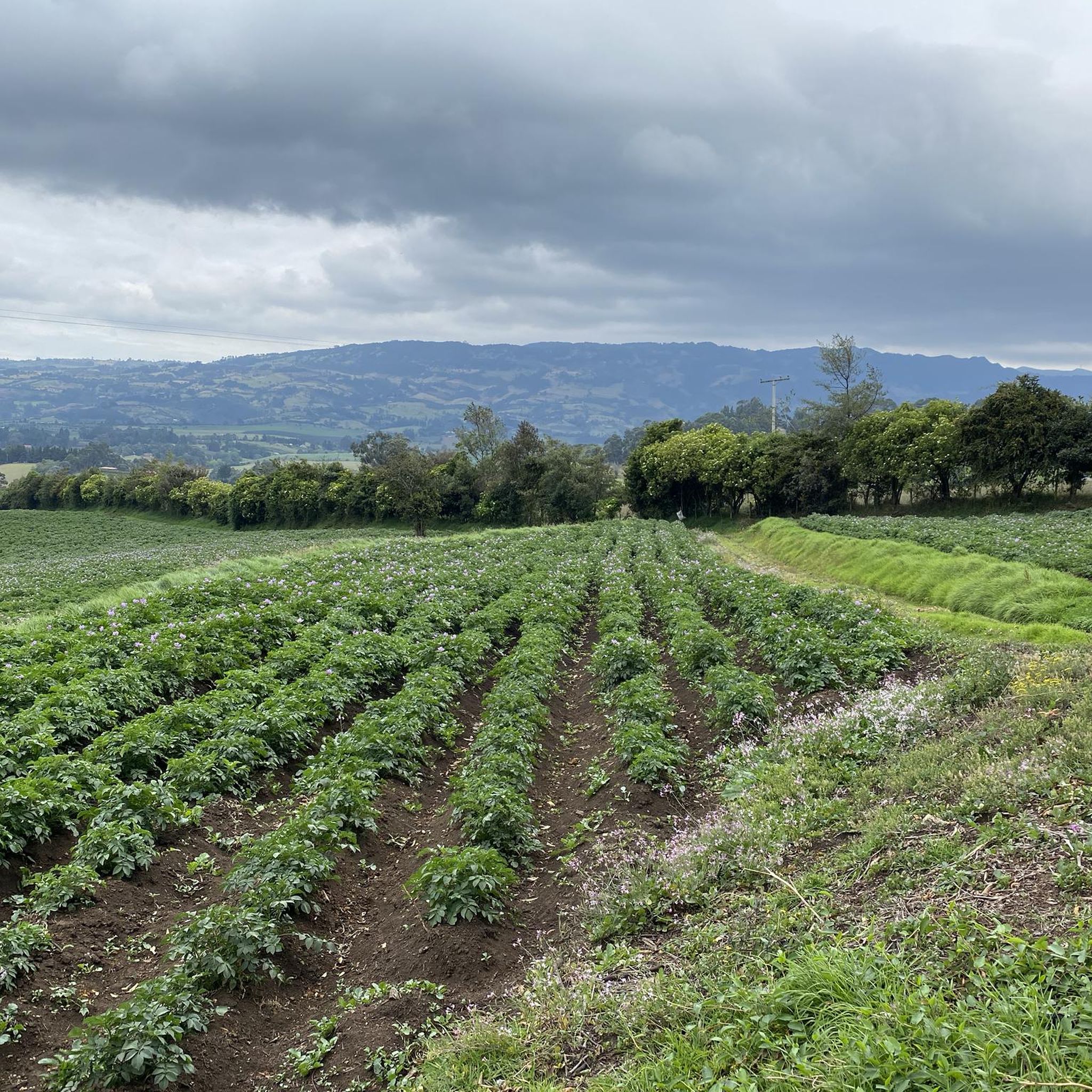

Tips from the Community

After the route, a delicious coffee from the region accompanied by a cake, desserts and the best service
0
0

After the bike, an excellent coffee, highly recommended here.
1
0

very loose path, non-pedalable sections. It is better to arrive by the magola
0
0

Leaving San Francisco, taking the road to Tibagota, a private sector that communicates with the real road that goes to Subachoque. MTB
0
0
Frequently Asked Questions
What kind of terrain and elevation can I expect on mountain bike trails in La Vega?
La Vega, situated at the gateway to the Central Mountain Range, offers a diverse landscape with significant elevation changes. Trails often feature high mountains and lush river valleys. For example, routes like Villa Karol loop from La Vega involve over 2,200 meters of elevation gain, providing challenging climbs and descents through mountainous terrain.
How many mountain bike trails are available in La Vega?
There are over 25 mountain bike trails documented in La Vega on komoot, with the majority (23 out of 26) rated as difficult, catering to riders seeking a significant challenge.
Are there any family-friendly mountain bike trails in La Vega?
The mountain bike trails in La Vega are predominantly rated as difficult, with significant elevation gains, making them more suitable for experienced riders. There are currently no trails specifically categorized as easy on komoot for this region, suggesting that most routes may be too challenging for young families or beginners.
What natural features or landmarks can I see along the mountain bike trails in La Vega?
La Vega's trails offer access to the majestic Central Mountain Range and lush river valleys. You might encounter natural attractions like waterfalls, such as Cascada de Jimenoa or Aguas Blancas Lower Cascade, which is the highest waterfall in the Caribbean. Specific points of interest accessible near some routes include Alto del Vino and the El Dintel Gate (Royal Road).
What do other mountain bikers enjoy most about mountain biking in La Vega?
The mountain bike routes in La Vega are highly rated by the komoot community, with an average score of 4.8 stars from over 40 reviews. Riders often praise the challenging mountainous terrain, the diverse natural settings, and the rewarding views offered by routes like Villa Karol – La Vega Park loop from La Vega.
Are there any circular mountain bike routes in La Vega?
Yes, many of the mountain bike routes in La Vega are designed as loops. Examples include the La Vega Park loop from QuicaSua Glamping, which covers 45.5 km, and the La Vega River – View of La Vega loop from La Vega.
What is the best time of year for mountain biking in La Vega?
La Vega's climate is tropical, but its mountainous location means temperatures can vary. Generally, the dry season from December to April offers more stable weather conditions, making it ideal for mountain biking. It's always advisable to check local weather forecasts before heading out, especially during the rainy season (May to November) when trails can become muddy.
Are dogs allowed on the mountain bike trails in La Vega?
While specific regulations for dogs on individual trails may vary, it's generally recommended to check with local authorities or park management, especially if trails pass through protected areas like Valle Nuevo National Park. Always ensure your dog is well-behaved, on a leash, and that you clean up after them.
What are the typical distances and durations for mountain bike trails in La Vega?
Mountain bike trails in La Vega vary in length and duration. For instance, the Puente Piedra Ancha – La Vega Park loop from La Vega is about 55 km long and can take around 5 hours 25 minutes to complete, reflecting the challenging nature and significant elevation gains of the region's routes.
Are there cafes or accommodation options near the mountain bike trails in La Vega?
La Vega and its surrounding areas, including towns like Jarabacoa and Constanza, offer various accommodation options and places to eat. Along some routes, you might find specific spots like the Alto del Vino Rest Stop, which provides a place to refuel. It's advisable to plan your route and check for amenities beforehand, especially on longer or more remote trails.
Is public transport available to reach mountain bike trailheads in La Vega?
While La Vega has local public transport options, direct access to specific mountain bike trailheads via public transport might be limited, especially for more remote routes. Many visitors opt for private vehicles or taxis to reach starting points. It's recommended to research specific trailhead access points and local transport availability for your chosen route.
What should I bring for mountain biking in La Vega?
Given the challenging terrain and significant elevation changes, it's crucial to be well-prepared. Essential items include plenty of water, energy snacks, a repair kit for your bike, appropriate safety gear (helmet, gloves), sun protection, and navigation tools. Due to the varied landscapes and potential for remote sections, a fully charged phone and a first-aid kit are also highly recommended.
Most popular attractions in La Vega

Get inspired with the komoot mobile app


Explore more
Browse the best MTB trails in other regions.
