The best MTB trails in Guayabal De Síquima
5.0
(8)
71
riders
7
rides
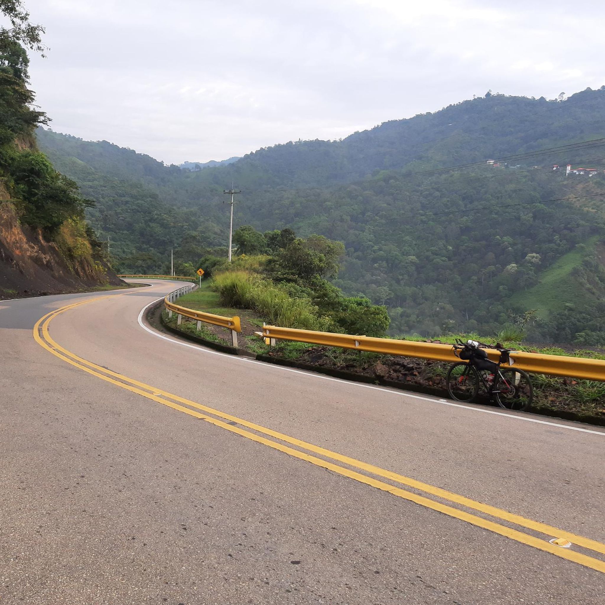
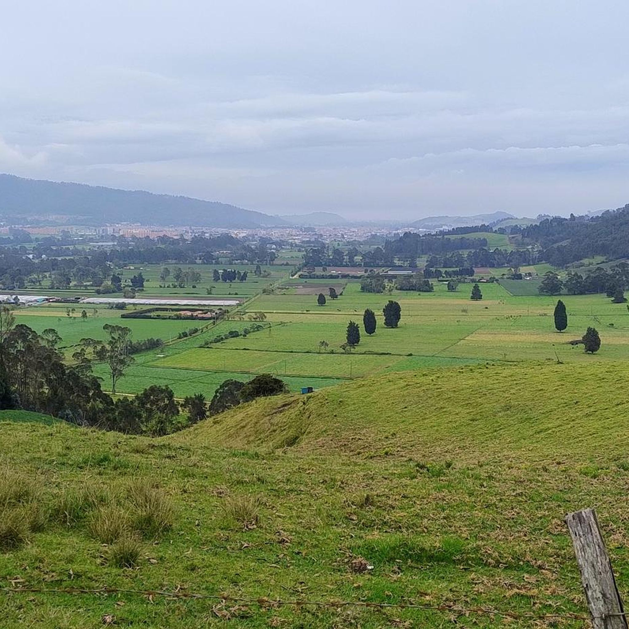
Mountain biking in Guayabal De Síquima offers diverse terrain within the department of Cundinamarca, Colombia. The region is characterized by sinuous mountains, green hills, and rural trails, providing a varied landscape for mountain bikers. Situated in a hilly area within the Western Zone of the Eastern Mountains, the municipality features expansive green fields and agricultural areas. This mountainous topography naturally lends itself to challenging and scenic mountain biking routes with significant elevation changes.
Best mountain bike trails in Guayabal De…
Last updated: June 28, 2026
5.0
(1)
23
riders
98.3km
07:23
2,130m
2,130m
Hard mountain bike ride. Very good fitness required. Advanced riding skills necessary.
5.0
(2)
12
riders
30.6km
02:58
790m
790m
Moderate mountain bike ride. Good fitness required. Suitable for all skill levels.

Sign up for free
14
riders
109km
08:56
3,120m
3,120m
Hard mountain bike ride. Very good fitness required. Suitable for all skill levels.
5.0
(1)
9
riders
44.4km
04:24
1,200m
1,200m
Hard mountain bike ride. Very good fitness required. Suitable for all skill levels.
5.0
(2)
5
riders
37.2km
03:21
1,210m
1,210m
Hard mountain bike ride. Very good fitness required. Suitable for all skill levels.
Get access to more routes and recommendations from other explorers.
Sign up for free
Already have an account?
Our route recommendations are based on thousands of hikes, rides, and runs completed by other people on komoot.
Start today with a free account
Your next adventure awaits.
Login or Signup
Popular around Guayabal De Síquima
Tips from the Community

A safe place to train!!!
0
0

Bring water (there are no shops nearby)
0
0

Perfect for starting out or training, the plan to get there develops your resistance
0
0

It is a route to relax... little slope, flat, constant... here you can go out to Villeta and La Vega, municipalities of Cundinamarca... the weather can vary.
0
0


You don't have to eat a lot and when you go up, hydrate very well.
0
0

You can have breakfast here. delicious cook
0
0

Frequently Asked Questions
How many mountain bike trails are available in Guayabal De Síquima?
There are 9 mountain bike trails in Guayabal De Síquima listed on komoot. These routes offer a variety of experiences across the region's diverse terrain.
What kind of terrain can I expect on mountain bike trails in Guayabal De Síquima?
The terrain in Guayabal De Síquima is characterized by sinuous mountains, green hills, and rural trails. You can expect varied landscapes, including expansive green fields and agricultural areas. Some trails may be challenging, potentially featuring slippery or muddy sections, especially in lush rainforest areas.
Are there trails suitable for less experienced mountain bikers?
While most trails in Guayabal De Síquima are rated as difficult, there is one moderate route available: Bagazal Abandoned Building loop from Villeta. This 19.0-mile (30.6 km) trail leads through rural areas and green fields, offering a less strenuous option.
What are some challenging mountain bike routes in the area?
For experienced riders seeking a challenge, Guayabal De Síquima offers several difficult routes. Notable options include Alto de Mondoñedo – The Cachipay Train Route loop from Anolaima, a 62.7-mile (100.8 km) trail with significant elevation gain, and Alto del Vino – Parador Alto del Vino loop from Villeta, a 67.7-mile (108.9 km) path featuring extensive climbs and descents.
Are there any circular mountain bike routes available?
Yes, many of the mountain bike routes in Guayabal De Síquima are loops. Examples include the Bagazal Abandoned Building loop from Villeta and the Cerro De Palacio loop from Villeta, allowing you to start and finish at the same point.
What natural features or landmarks might I see while mountain biking?
The region is rich in natural beauty. You might encounter green hills, rivers, and waterfalls. Specific landmarks include Cerro La Cuchilla, offering spectacular panoramic views, and Alto de la Virgen, providing vistas of the urban center and rural areas. The historic Camino Real, a cobbled colonial route, also offers beautiful landscapes and a glimpse into the region's past.
Is Guayabal De Síquima suitable for family mountain biking?
While most routes are rated difficult, the region's green hills and rural trails offer a tranquil environment. Families with older, more experienced children might enjoy the moderate Bagazal Abandoned Building loop from Villeta. However, younger children or beginners may find the general terrain challenging.
What is the best time of year to go mountain biking in Guayabal De Síquima?
Guayabal de Síquima's climate is generally pleasant, but as part of a region known for lush rainforests, trails can be slippery and muddy. It's advisable to check local weather forecasts before your ride, especially during rainy seasons, to ensure optimal trail conditions.
What do other mountain bikers say about the trails in Guayabal De Síquima?
The mountain bike trails in Guayabal De Síquima are highly rated by the komoot community, with an average score of 5.0 stars from 9 reviews. Riders often praise the varied terrain, challenging climbs, and the stunning natural landscapes of the sinuous mountains and green hills.
Are there any waterfalls accessible from the mountain bike trails?
Yes, the region is known for its waterfalls. Cascada de San Luis is a notable waterfall in the area, suitable for activities like climbing and rappelling. While not directly on every mountain bike trail, it's a significant natural attraction in the vicinity that riders might explore.
How long do mountain bike trails typically take to complete in Guayabal De Síquima?
Trail durations vary significantly based on distance and difficulty. For example, the moderate Bagazal Abandoned Building loop from Villeta typically takes around 2 hours 58 minutes, while more challenging routes like Alto de Mondoñedo – The Cachipay Train Route loop from Anolaima can take up to 7 hours 50 minutes.
Are there options for parking or public transport to access trailheads?
While specific parking details for each trailhead are not provided, many routes start from towns like Anolaima and Villeta, where parking options are generally available. For public transport, local buses often connect these towns within the Cundinamarca department, but it's best to research specific routes and schedules if you plan to use public transport with your bike.
Can I find places to eat or drink near the mountain bike trails?
Guayabal de Síquima and nearby towns like Villeta offer local establishments where you can find food and drinks. Many routes either start or pass through rural areas or small towns, providing opportunities to refuel and experience local Colombian charm.
Most popular routes in Guayabal De Síquima

Get inspired with the komoot mobile app


Explore more
Browse the best MTB trails in other regions.
