The best MTB trails in Guachetá
4.9
(11)
131
riders
41
rides
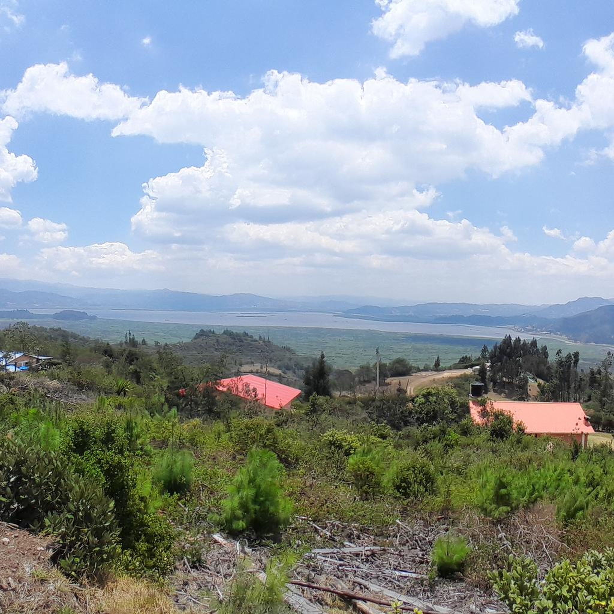
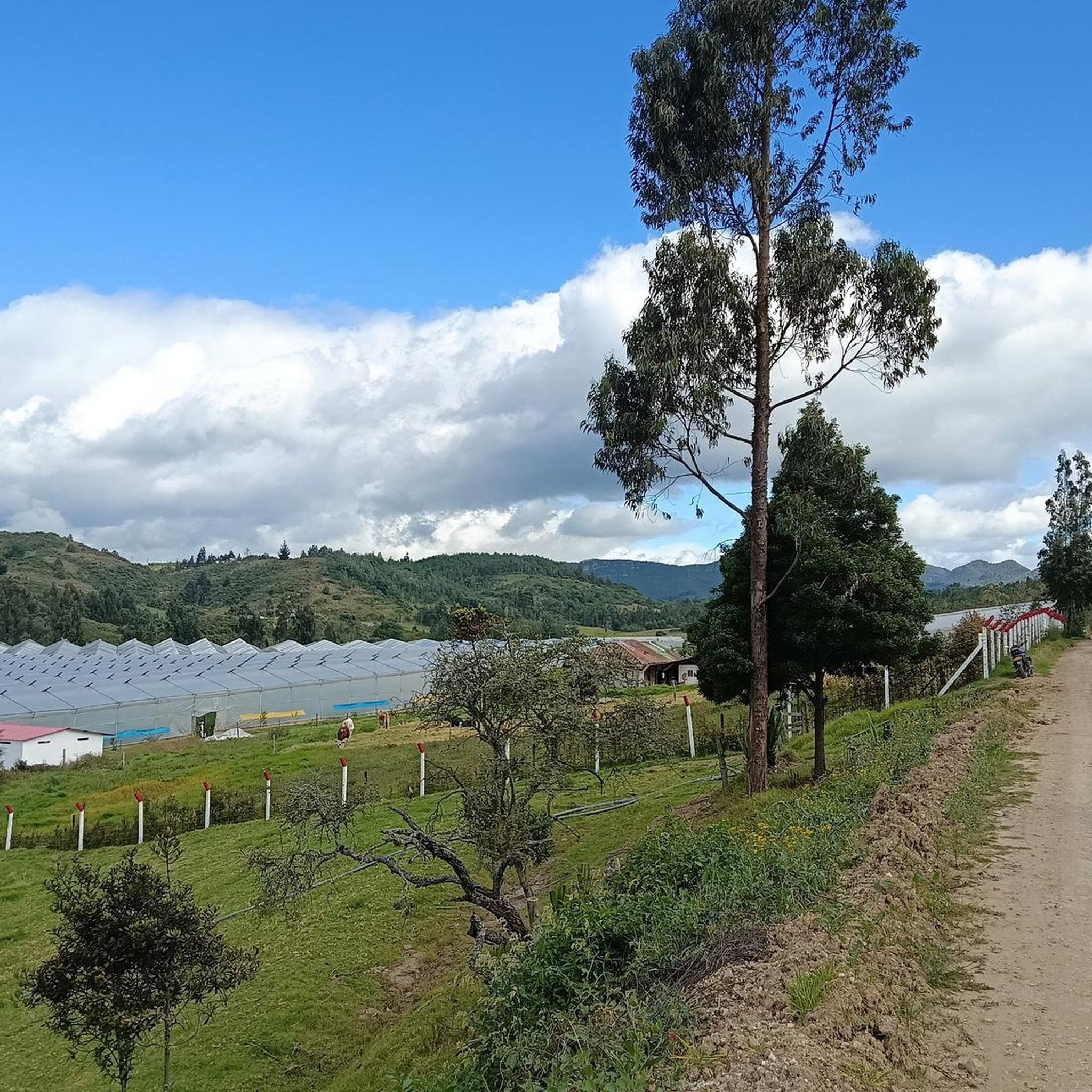
Mountain biking in Guachetá offers diverse landscapes and challenging terrain in the Cundinamarca department of Colombia. The region features varied topography, transitioning from high-altitude páramo ecosystems with unique frailejones plants to warmer, damp pockets and rolling hills. Mountain bike trails often descend into valley floors, trace alongside rivers, and navigate areas known for distinctive rock formations. This varied environment provides a range of riding conditions for outdoor enthusiasts.
Best mountain bike trails in Guachetá
- The most popular mountain bike trail…
Last updated: July 11, 2026
12
riders
32.8km
02:44
700m
700m
Moderate mountain bike ride. Good fitness required. Suitable for all skill levels.
5.0
(1)
9
riders
29.9km
02:06
320m
320m
Moderate mountain bike ride. Good fitness required. Suitable for all skill levels.

Sign up for free
5.0
(1)
6
riders
18.8km
01:56
580m
580m
Moderate mountain bike ride. Good fitness required. Suitable for all skill levels.
5.0
(2)
8
riders
44.6km
02:52
580m
580m
Moderate mountain bike ride. Good fitness required. Suitable for all skill levels.
5.0
(1)
6
riders
30.2km
02:12
540m
540m
Moderate mountain bike ride. Good fitness required. Suitable for all skill levels.
Get access to more routes and recommendations from other explorers.
Sign up for free
Already have an account?
Our route recommendations are based on thousands of hikes, rides, and runs completed by other people on komoot.
Start today with a free account
Your next adventure awaits.
Login or Signup
Popular around Guachetá
Tips from the Community

Carmen de Carupa and the path of Charquira connect with the footprint plate to the town and you can go towards Simijaca and Piedra Colgada in Susa.
0
0
perfect place for endurance training
0
0
Frequently Asked Questions
How many mountain bike trails are available in Guachetá?
Guachetá offers a robust network of over 40 mountain bike trails. These routes vary significantly in distance, ascent, and descent, catering to different skill levels and preferences, from moderate to difficult.
What kind of terrain can I expect on mountain bike trails in Guachetá?
You can expect incredibly diverse terrain in Guachetá. Trails transition from high-altitude páramo ecosystems with unique frailejones plants to warmer, damp pockets filled with giant ferns, and even into drier, more barren 'desertscapes'. Riders will encounter a mix of off-pavement surfaces, including hardpack dirt and gravel, along with rolling hills, valley descents, and paths tracing alongside rivers.
Are there any family-friendly mountain bike routes in Guachetá?
While many routes in Guachetá are moderate to difficult, there are a few easier options suitable for families or beginners. For example, the region offers 3 trails classified as easy, which can provide a gentler introduction to mountain biking in the area. Always check the route details for elevation and distance to ensure it matches your family's ability.
What are some notable natural features or viewpoints I can see while mountain biking in Guachetá?
Guachetá's trails offer stunning natural features. You'll encounter unique páramo ecosystems with frailejones plants, diverse transitions from misty high-elevation areas to lush valleys, and distinctive rock formations. For specific viewpoints, consider routes that pass by highlights such as the Alto de las Antenas de Fúquene or offer a View of Laguna de Fúquene from Monroy.
What is the best time of year to go mountain biking in Guachetá?
Mountain biking in Guachetá is particularly popular in January. However, the region's diverse climate means conditions can vary. It's always a good idea to check local weather forecasts before heading out, as the landscape transitions dramatically from misty high-elevation areas to warmer pockets.
Are there any circular mountain bike routes in Guachetá?
Yes, many of the mountain bike trails in Guachetá are designed as loops. For instance, you could explore the Laguna de Cucunubá loop from Ubaté, a moderate 29.9 km trail, or the Chivos Climb loop from Ubaté, which is 18.8 km. These loops allow you to start and finish at the same point, making logistics easier.
What do other mountain bikers enjoy most about Guachetá?
The mountain biking experience in Guachetá is highly rated by the komoot community, with an average score of 5.0 stars. Riders often praise the diverse landscapes, the challenging climbs and descents, and the unique natural features like the páramo ecosystems and rock formations that make each ride memorable.
Are there any cultural or historical attractions near the mountain bike trails in Guachetá?
Beyond the trails, Guachetá offers cultural and historical points of interest. The town itself features 'colonial republican' architecture and a beautiful main park. While not directly on a trail, the impressive 17th-century Monasterio La Candelaria is a notable national monument in the broader region that cyclists might find interesting to visit.
What are some of the more challenging mountain bike routes in the area?
Guachetá is known for its challenging terrain, with 20 routes classified as difficult. Trails like the Chivos Climb – Charquira Placa Huella loop from Ubaté, a moderate 32.8 km path, include significant ascents and descents characteristic of the region's demanding climbs. The topography around Guachetá, with its steep slopes and varied elevations, ensures a good challenge for experienced riders.
Can I find routes that offer extensive views of the surrounding landscape?
Absolutely. The varied topography of Guachetá, with its rolling hills and high-elevation páramos, provides numerous opportunities for scenic views. Routes such as the Viewpoint – Fuquene Viewpoint loop from Ubaté are specifically designed to take you to elevated spots where you can enjoy panoramic vistas of the region, including views of Laguna de Fúquene.
What kind of natural water features can be found along the trails?
The region features many cycling paths that descend into valley floors and trace alongside rivers. You might also encounter unique water sources like the Water Spring in the Páramo de Rabanal, which highlights the crucial role of the páramo ecosystems in water regulation for the surrounding areas.
Most popular routes in Guachetá
Most popular attractions in Guachetá

Get inspired with the komoot mobile app


Explore more
Browse the best MTB trails in other regions.
