The best walks and hikes in Fusagasugá
4.9
(7)
29
hikers
7
hikes
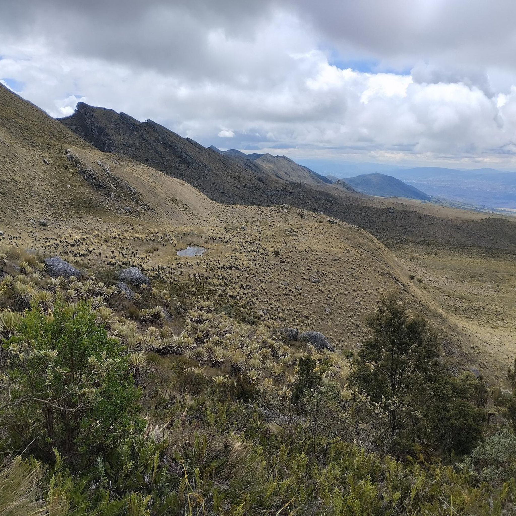
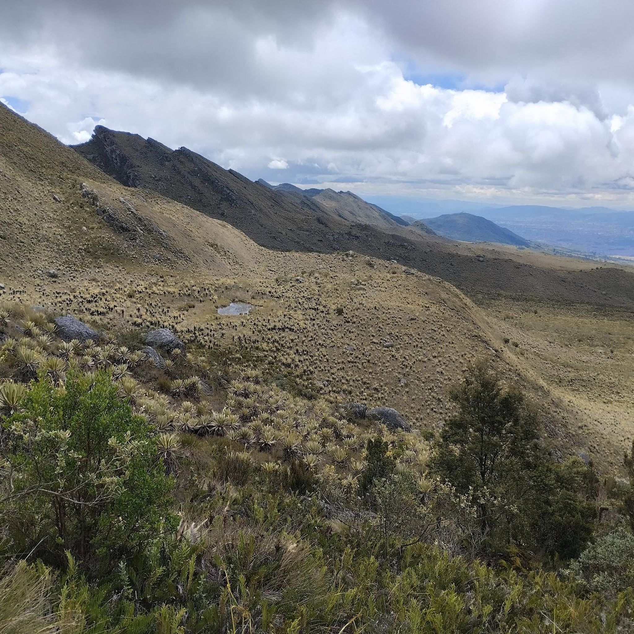
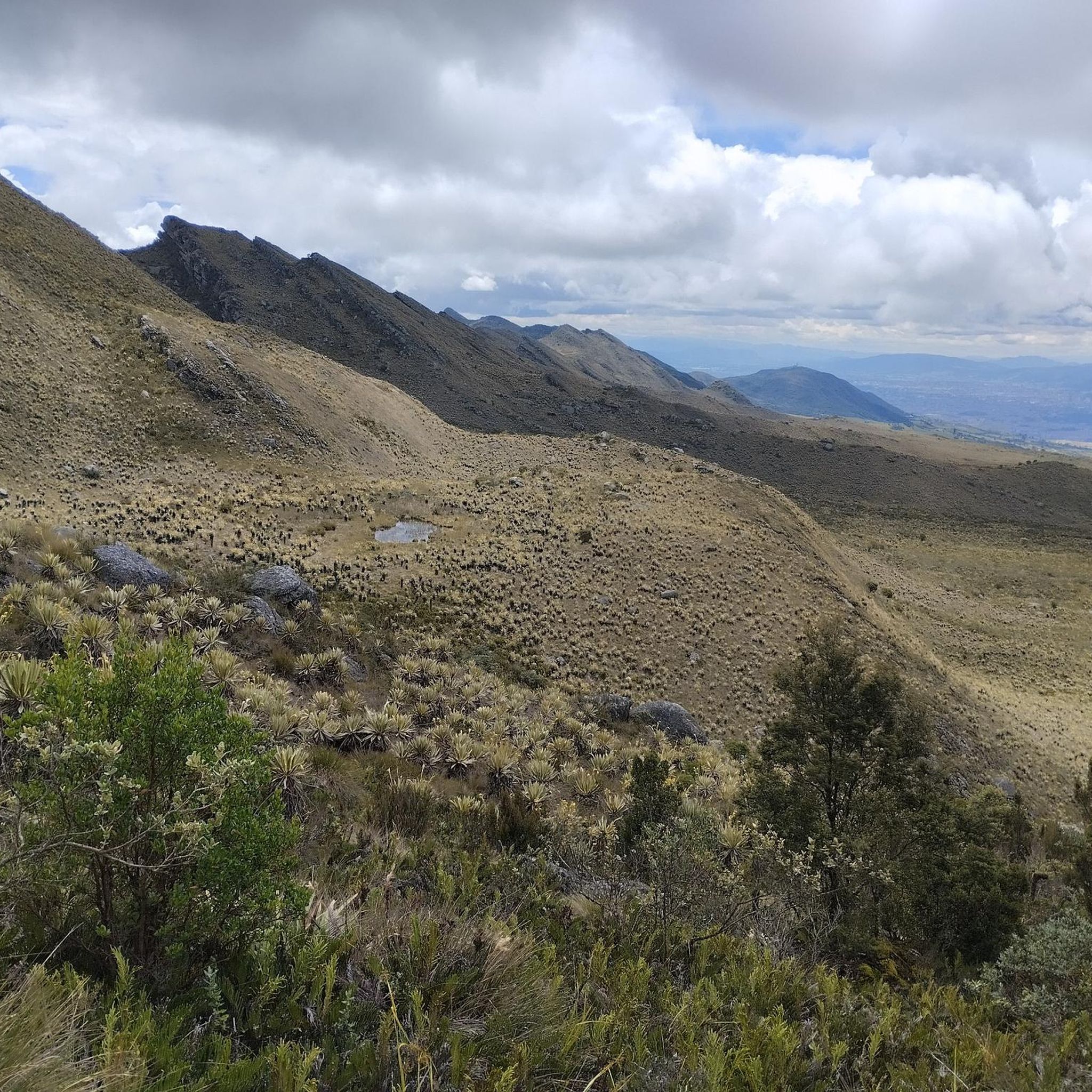
Hiking in Fusagasugá offers access to diverse natural landscapes within the Cundinamarca region of Colombia. The area is characterized by lush valleys, verdant mountains, and a pleasant year-round climate. Hikers can explore natural parks, high-altitude páramo ecosystems, and areas with waterfalls and virgin forests. The terrain includes varied elevations, providing options from moderate paths to more challenging mountain ascents.
Best hiking trails in Fusagasugá
- The most popular hiking route is View of El Indio loop from Estación El Ocobo, a 6.0 miles (9.7 km) trail that takes about 3 hours 41 minutes to complete. This moderate route offers panoramic views, including the notable Piedra del Indio rock formation.
- Another top favourite among local hikers is Ricaurte Sidewalk loop from Fusagasugá, a difficult 11.0 miles (17.8 km) path. This trail features varied terrain, including sections that transition from urban outskirts into natural landscapes, offering extensive views.
- Local hikers also love the Juice and Arepa – Camino Real Crossing, Alaska loop from Universidad de Cundinamarca, a 6.2 miles (10.0 km) trail leading through varied landscapes, often completed in about 2 hours 58 minutes. This moderate route includes sections of historical paths and natural scenery.
- Hiking in Fusagasugá is defined by lush valleys, verdant mountains, and natural parks. The network offers options for different ability levels, from moderate walks to more challenging ascents.
- The routes in Fusagasugá are highly rated by the komoot community with an average score of 4.9 stars from over 8 reviews. More than 37 hikers have used komoot to explore Fusagasugá's varied terrain.
Last updated: June 29, 2026
5.0
(1)
10
hikers
8.91km
03:28
460m
460m
Moderate hike. Good fitness required. Mostly accessible paths. Sure-footedness required.
5.0
(1)
4
hikers
17.8km
05:09
460m
460m
Hard hike. Very good fitness required. Easily-accessible paths. Suitable for all skill levels.

Sign up for free
5.0
(2)
3
hikers
Hard hike. Very good fitness required. Easily-accessible paths. Suitable for all skill levels.
5
hikers
3.16km
01:04
100m
100m
Moderate hike. Great for any fitness level. Mostly accessible paths. Sure-footedness required.
2
hikers
Moderate hike. Good fitness required. Easily-accessible paths. Suitable for all skill levels.
Get access to more routes and recommendations from other explorers.
Sign up for free
Already have an account?
Our route recommendations are based on thousands of hikes, rides, and runs completed by other people on komoot.
Start today with a free account
Your next adventure awaits.
Login or Signup

Frequently Asked Questions
How many hiking trails are available in Fusagasugá?
There are 7 hiking routes documented in Fusagasugá, offering a variety of experiences for outdoor enthusiasts.
What is the best time of year for hiking in Fusagasugá?
The dry season, which runs from December to March and again from June to August, is generally the most pleasant time for hiking in Fusagasugá. During these months, you can expect more favorable weather conditions and less rainfall.
What kind of terrain can I expect on hikes in Fusagasugá?
Fusagasugá's hiking terrain is diverse, featuring lush valleys, verdant mountains, and natural parks. You'll encounter varied elevations, from moderate paths to more challenging mountain ascents, often with foggy landscapes in the Andes rainforests.
Are there hiking options for different skill levels in Fusagasugá?
Yes, Fusagasugá offers trails for various abilities. There are 5 moderate routes and 2 difficult routes, ensuring options for both casual hikers and those seeking a more strenuous challenge.
Are there any circular hiking routes in Fusagasugá?
Several routes in Fusagasugá are circular. For example, the moderate View of El Indio loop from Estación El Ocobo is a popular choice, offering panoramic views. Another option is the difficult Ricaurte Sidewalk loop from Fusagasugá, which features varied terrain.
Can I find hikes with waterfalls in Fusagasugá?
Yes, the San Rafael Natural Park, located just 15 minutes from Fusagasugá, features a 10 km trail that leads to an impressive waterfall and natural pools, perfect for a refreshing dip.
What natural landmarks or viewpoints can I see while hiking in Fusagasugá?
Many trails offer stunning views. The View of El Indio loop from Estación El Ocobo provides panoramic vistas, including the notable Piedra del Indio rock formation. You can also visit the El Alar Lagoon for scenic walks, or explore Parque Verde y Agua for its 'mirador de Fuzacatan' viewpoint.
Are there family-friendly hiking options in Fusagasugá?
While specific 'easy' routes aren't listed, some moderate trails, especially those in natural parks like Parque Natural Fusagasugá or Parque Verde y Agua, can be suitable for families looking for pleasant walks amidst nature. The Cara del Indio loop from Reserva Natural de la Sociedad Civil Nakaima is a shorter, moderate option.
Where can I explore unique ecosystems like páramo near Fusagasugá?
Fusagasugá serves as a gateway to the immense Sumapaz Páramo, the largest moorland in the world. This national park offers distinct high-altitude hiking experiences, allowing you to explore its unique ecosystem.
What do other hikers say about the trails in Fusagasugá?
The routes in Fusagasugá are highly rated by the komoot community, with an average score of 4.9 stars from over 8 reviews. Hikers often praise the diverse natural landscapes, from lush valleys to mountain ascents, and the pleasant year-round climate.
Are there opportunities to see local flora and fauna on the trails?
Absolutely. Parks like San Rafael Natural Park and Parque Verde y Agua are rich in biodiversity. You might spot endemic tropical forest plants, squirrels, owls, and even sloths or foxes. The San Jorge Botanical Garden also offers pleasant walks to observe the region's floral diversity, including orchids and bromeliads.
How long do hikes in Fusagasugá typically take?
Hikes vary in length and duration. Moderate routes like the Juice and Arepa – Camino Real Crossing, Alaska loop from Universidad de Cundinamarca can take around 3 hours, while more difficult and longer trails, such as the Ricaurte Sidewalk loop from Fusagasugá, can extend to over 5 hours.
Most popular routes in Fusagasugá
Most popular attractions in Fusagasugá

Get inspired with the komoot mobile app


Explore more
Browse the best Hikes in other regions.
