The best cycling routes in Facatativá
4.9
(17)
109
riders
8
rides
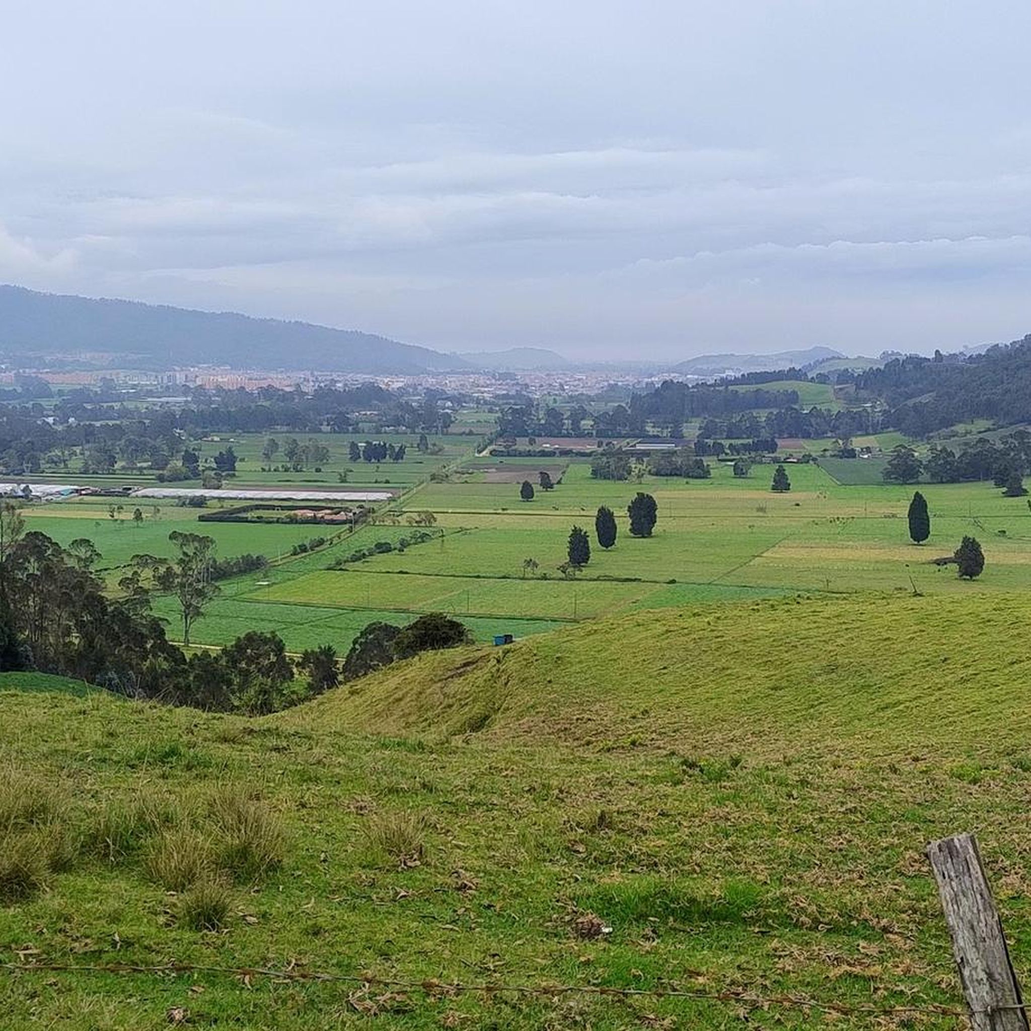
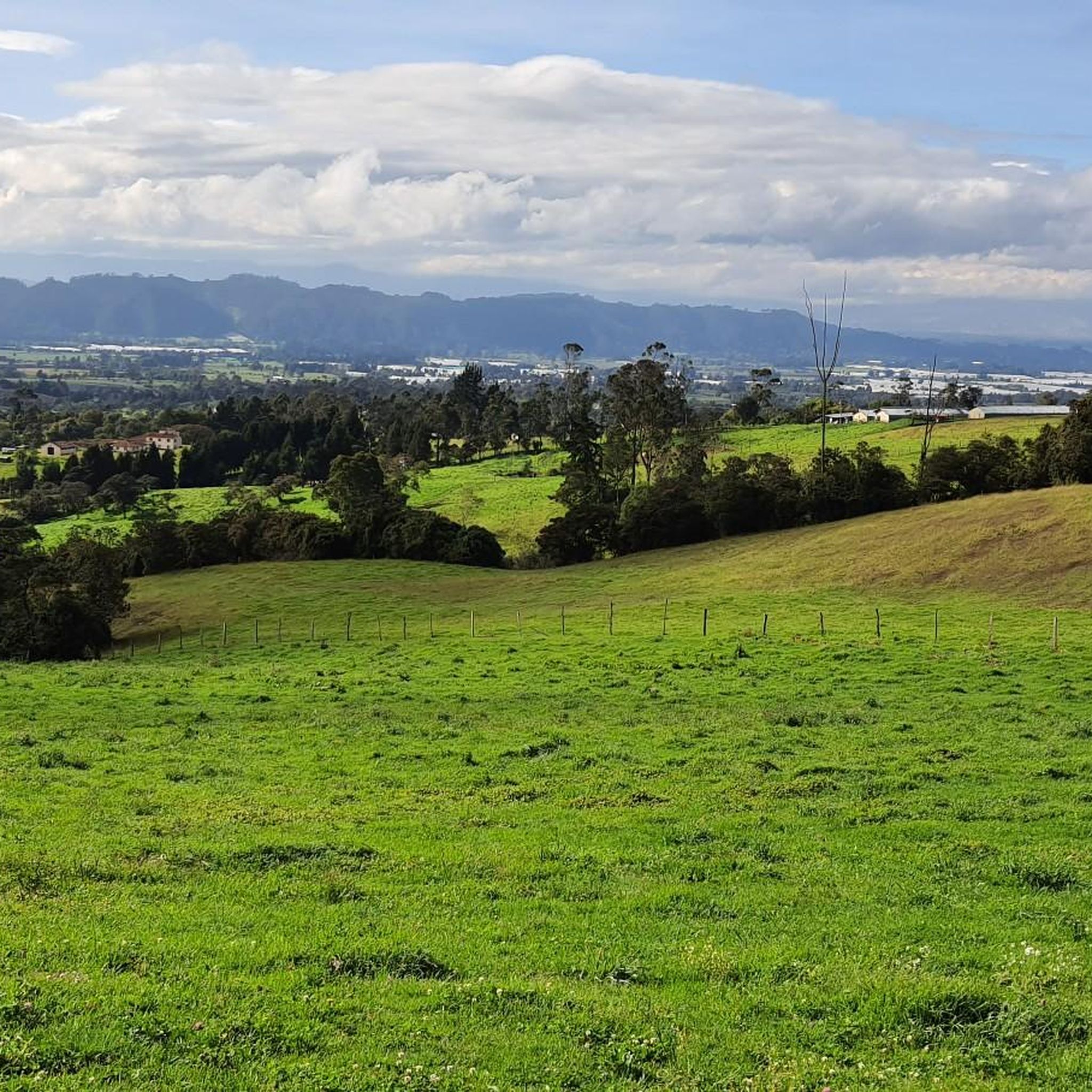
Touring cycling in Facatativá, located in Colombia's Cundinamarca Department, offers diverse terrain at an elevation of approximately 8,484 feet (2,586 meters) above sea level. The region features rolling hills and open roads, providing scenic routes for cyclists. It is situated within the Eastern Andes, blending vast plateaus with encompassing mountainous ridges. This varied landscape creates a compelling environment for outdoor activities.
Best touring cycling routes in Facatativá
- The most popular touring cycling route is Vereda Mancilla – Alto de Padilla…
Last updated: June 28, 2026
4.3
(3)
17
riders
61.8km
05:14
1,360m
1,360m
Hard bike ride. Very good fitness required. Mostly paved surfaces. Suitable for all skill levels.
5.0
(9)
18
riders
57.6km
04:08
690m
690m
Hard bike ride. Very good fitness required. Mostly paved surfaces. Suitable for all skill levels.

Sign up for free
12
riders
121km
08:58
2,830m
2,830m
Hard bike ride. Very good fitness required. Mostly paved surfaces. Suitable for all skill levels.
5.0
(3)
14
riders
33.1km
02:16
410m
410m
Moderate bike ride. Good fitness required. Mostly paved surfaces. Suitable for all skill levels.
5.0
(1)
12
riders
32.1km
03:02
670m
670m
Hard bike ride. Very good fitness required. Mostly paved surfaces. Suitable for all skill levels.
Get access to more routes and recommendations from other explorers.
Sign up for free
Already have an account?
Our route recommendations are based on thousands of hikes, rides, and runs completed by other people on komoot.
Start today with a free account
Your next adventure awaits.
Login or Signup
Popular around Facatativá
Tips from the Community


A safe place to train!!!
0
0

In this hotel restaurant you will find good food, good portions, good service and affordable prices.
0
0

here begins the uncovered ascent that can take it to the scale
1
0


Highest point on the road between Facatativá and La Vega. It is the border between the municipalities of Facatativá and La Vega
1
0

Good training, also for a walk, in La Vega start with a good roscón resobo, and take to eat at the top. Safe route, good berm, many fellow cyclists of all levels, so as not to feel alone.
0
0
Frequently Asked Questions
What types of touring cycling routes can I find in Facatativá?
Facatativá offers a diverse range of touring cycling routes, characterized by rolling hills, open roads, and mountainous ridges of the Andes. You'll find options catering to various preferences, from moderate paths to more challenging routes with significant elevation changes. The region's elevation, around 2,586 meters (8,484 feet) above sea level, contributes to cooler temperatures ideal for cycling.
Are there any circular touring cycling routes in Facatativá?
Yes, many of the touring cycling routes in Facatativá are designed as loops, allowing you to start and finish in the same location. For example, the Vereda Mancilla – Alto de Padilla loop from Estación 1 - Facatativá is a moderate 18.6-mile (29.9 km) route, while the more challenging Alto de Padilla – Alto del Vino Rest Stop loop from Estación 3 - Madrid covers 35.3 miles (56.8 km) with panoramic views.
What are some of the more challenging touring cycling routes in the area?
For experienced touring cyclists seeking a challenge, Facatativá offers several difficult routes. The Alto de la Tribuna – Alto del Vino Rest Stop loop from Estación 1 - Facatativá is a demanding 74.5-mile (119.9 km) route with over 2,800 meters of elevation gain. Another difficult option is the Scenic Viewpoint loop from Casco urbano El Rosal, which spans 19.9 miles (32.1 km) and includes significant climbs.
What natural attractions or scenic viewpoints can I discover while cycling in Facatativá?
The region around Facatativá is rich in natural beauty. While cycling, you can experience the rolling hills and mountainous ridges of the Andes. The Alto del Vino is a notable climb offering expansive views. The area is also close to the famous Archaeological Park Piedras del Tunjo, known for its unique rock formations and ancient pictograms, providing a stunning backdrop to your rides.
Are there any historical or cultural landmarks accessible by bike in Facatativá?
Facatativá is home to the significant Archaeological Park Piedras del Tunjo, a site featuring large, unique rock formations and ancient rock paintings dating back thousands of years. While not directly on a cycling route, its proximity makes it a worthwhile destination to explore before or after your ride, offering a blend of natural beauty and cultural heritage. The park is a major attraction in the region.
What do other touring cyclists say about their experience in Facatativá?
The touring cycling routes in Facatativá are highly regarded by the komoot community, boasting an average rating of 5.0 stars from over 30 reviews. Cyclists often praise the varied terrain, the scenic landscapes, and the challenging yet rewarding climbs. More than 180 touring cyclists have used komoot to explore the region, highlighting its popularity among outdoor enthusiasts.
What is the best time of year to go touring cycling in Facatativá?
Given Facatativá's elevation of approximately 2,586 meters (8,484 feet) above sea level, the climate tends to be cooler than lower-lying areas. This makes it comfortable for physical activities like cycling year-round. However, it's always advisable to check local weather forecasts before heading out, as Andean weather can be variable.
Are there any moderate touring cycling routes suitable for a balanced experience?
Yes, Facatativá offers several moderate routes that provide a balanced cycling experience without extreme difficulty. The Vereda Mancilla – Alto de Padilla loop from Estación 1 - Facatativá is a popular choice, covering 18.6 miles (29.9 km) in about 2 hours 30 minutes. Another great option is the Alto del Vino Rest Stop – Alto El Vino loop from Facatativá, a 21.0-mile (33.7 km) trail.
How accessible are the cycling routes from Bogotá, and what are the road conditions like?
Facatativá is conveniently located just 18 miles northwest of Bogotá, making it a popular cycling destination from the capital. The journey to Facatativá and the Archaeological Park Piedras del Tunjo is described as scenic. After passing the Bogotá River toll, the road shoulder widens significantly, offering a more relaxed and safer cycling experience for touring cyclists.
Can I find places to eat or rest along the touring cycling routes in Facatativá?
While specific cafes are not listed for every route, Colombia has a strong cycling culture, and it's common to find services along popular routes, especially in larger towns. The Alto del Vino is a well-known point that often features rest stops, making it a good place to refuel. It's always a good idea to carry snacks and water, especially on longer rides.
What kind of terrain should I expect when touring cycling in Facatativá?
The terrain in Facatativá is quite varied, offering a dynamic cycling experience. You can expect a mix of gently rolling hills, open roads, and more significant climbs as you approach the mountainous ridges of the Eastern Andes. This blend provides both picturesque, relaxed sections and challenging ascents, catering to different levels of touring cyclists.
Are there any specific trails or cycle ways mentioned that are good for touring?
Yes, the region features several paths that are popular with cyclists. The Puente Piedra–Subachoque Road and the Siberia Road (Exit from Bogotá) are noted as cycle ways. Additionally, the Mason Road Trail to Bojacá via La Herrera and the San Francisco to El Vino Road are trails that contribute to the diverse cycling network.
Most popular routes in Facatativá
Most popular attractions in Facatativá

Get inspired with the komoot mobile app


Explore more
Browse the best Cycling routes in other regions.
