The best road cycling routes in Chía
4.6
(166)
8,998
riders
11
rides
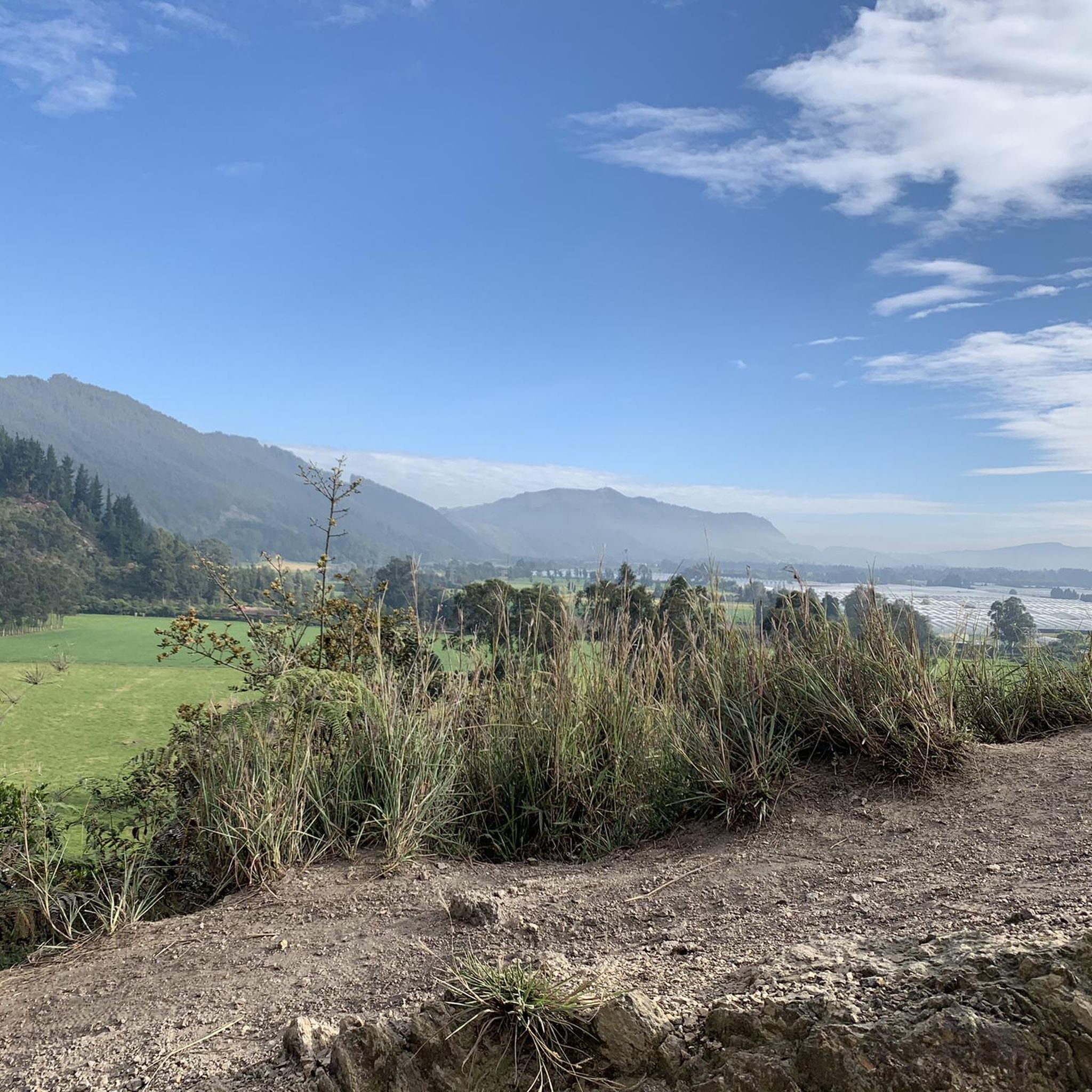
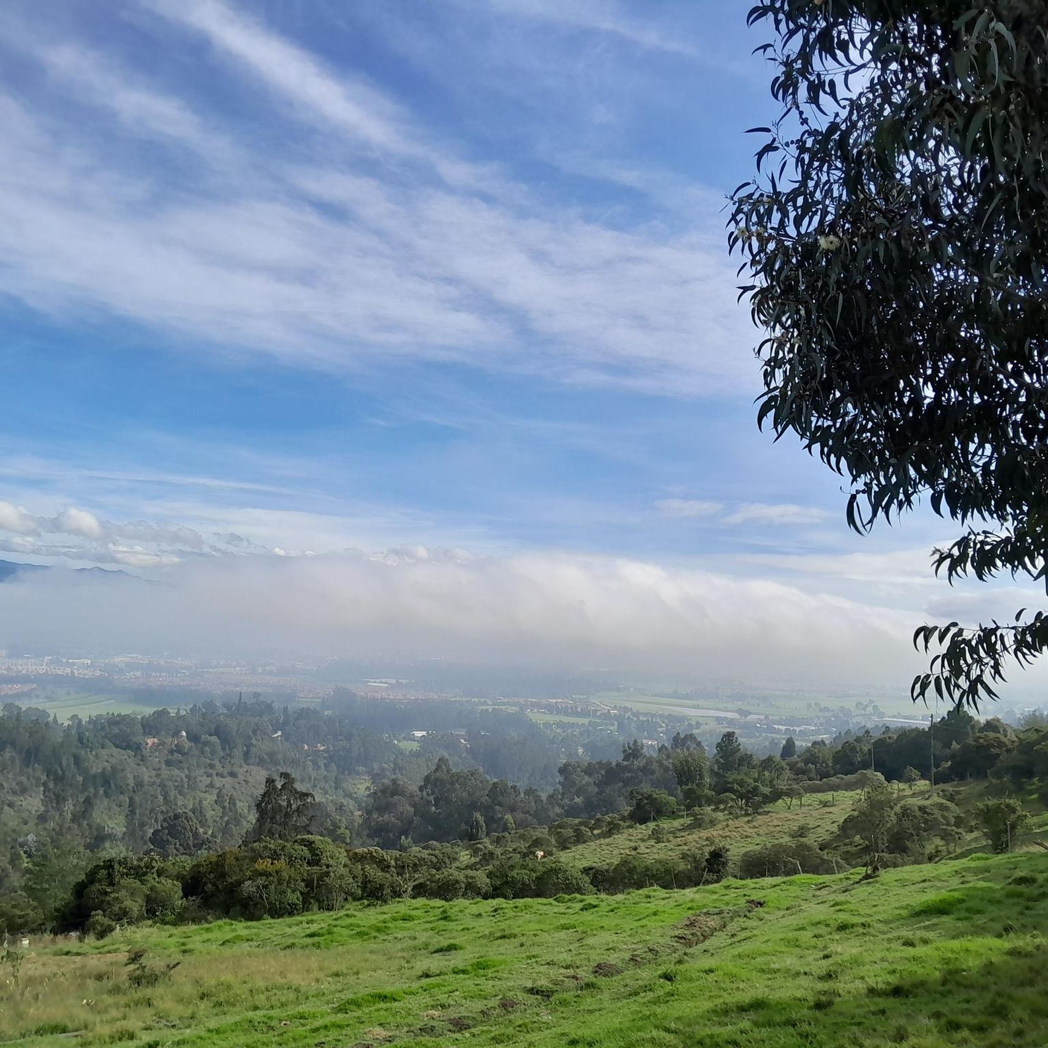
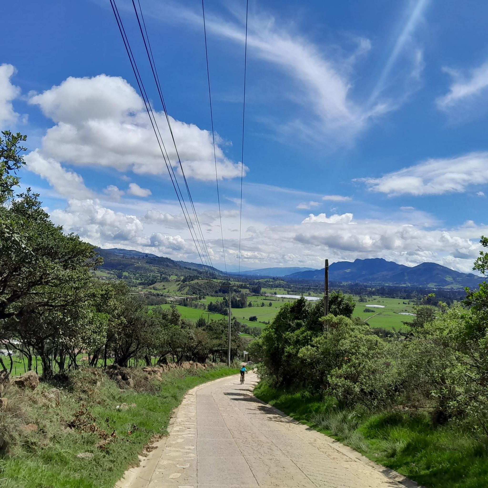
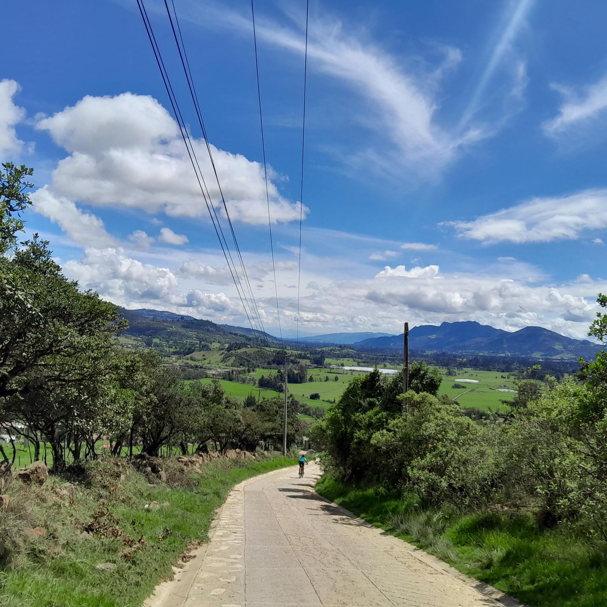
Road cycling in Chía, located north of Bogotá in the Andean plateau, offers diverse terrain for cyclists. The region is characterized by rolling green landscapes, Andean foothills, and mountains, providing varied elevation profiles. Routes often traverse through farmlands and offer views of the surrounding natural features. The terrain caters to a range of cycling abilities, with mostly paved surfaces.
Best road cycling routes in Chía
- The most popular road cycling route is Salitre–Guasquita Climb – Alto de La Cuchilla loop…
Last updated: July 1, 2026
5.0
(12)
900
riders
112km
05:35
1,330m
1,330m
Hard road ride. Very good fitness required. Mostly well-paved surfaces and easy to ride.
4.7
(13)
835
riders
68.2km
03:08
450m
450m
Moderate road ride. Good fitness required. Mostly well-paved surfaces and easy to ride.

Sign up for free
4.3
(3)
301
riders
91.6km
04:51
1,300m
1,300m
Hard road ride. Very good fitness required. Some segments of this route may be unpaved and difficult to ride.
4.5
(2)
216
riders
148km
08:27
2,980m
2,980m
Hard road ride. Very good fitness required. Some segments of this route may be unpaved and difficult to ride.
5.0
(2)
200
riders
64.6km
03:16
830m
830m
Moderate road ride. Good fitness required. Some segments of this route may be unpaved and difficult to ride.
Get access to more routes and recommendations from other explorers.
Sign up for free
Already have an account?
Our route recommendations are based on thousands of hikes, rides, and runs completed by other people on komoot.
Start today with a free account
Your next adventure awaits.
Login or Signup
Tips from the Community


BEAUTIFUL LANDSCAPES AND GOOD TRAINING
1
1

Good outing, although it is very cold almost always. Go with a good coat
0
0
Good objective, I suggest via Patios round trip to train various types (hill, bottom, hitts if you want in Arepas).
0
0

small town with nice cafes and restaurants. go to Paseo Hygge, they have a good place for cyclists called 3Puertos Gravel
0
0
Ascent to go to Pacho, or to do it as a single training. Good climb, mid-mountain. You can leave the car in El Exito, from 5:00 am, for $9,000 all day. IT IS ALWAYS COLD ON THE DESCENT, either to Pacho or back to Zipaquira.
0
0
Frequently Asked Questions
What kind of terrain can I expect when road cycling in Chía?
Chía, located in the Andean plateau, offers diverse terrain for road cyclists. You'll encounter rolling green landscapes, Andean foothills, and mountains, providing varied elevation profiles. Routes often traverse through farmlands, offering scenic views. The surfaces are mostly paved, ensuring a smooth experience for road bikes.
Are there road cycling routes for all fitness levels in Chía?
Yes, Chía caters to a range of cycling abilities. You can find options from easy rides suitable for all skill levels to demanding routes requiring very good fitness. The area features 2 easy, 5 moderate, and 4 difficult routes, ensuring there's something for everyone.
How many road cycling routes are available in Chía?
There are over 10 road cycling routes documented in Chía, offering a variety of distances and elevation gains for cyclists to explore.
Can I find challenging road cycling routes in Chía?
Absolutely. Chía is known for its demanding routes, especially those venturing into the Andean foothills. For a significant challenge, consider the Alto del Águila – Via Pacho – El Águila loop from Estación La Caro, which covers 146.2 km with nearly 3,000 meters of elevation gain.
Are there any moderate road cycling routes in Chía?
Yes, Chía offers several moderate routes perfect for those with good fitness looking for a balanced ride. A popular choice is the Sopó Main Square and Church – Salitre–Guasquita Climb loop from La Caro, a 68.5 km path with over 440 meters of ascent, offering a mix of rural areas and local landmarks.
What are some notable landmarks or viewpoints along the road cycling routes in Chía?
Many routes offer stunning views of the Andean mountains and rolling landscapes. You can find several significant climbs that double as viewpoints. For instance, the Salitre–Guasquita Climb and Alto de Canicas are popular spots that provide impressive vistas of the region.
What do other road cyclists enjoy the most about road cycling in Chía?
The road cycling routes in Chía are highly rated by the komoot community, with an average score of 4.2 stars from over 40 reviews. Cyclists often praise the diverse terrain, the stunning Andean landscapes, and the variety of routes that cater to different fitness levels, from scenic farmland rides to challenging mountain climbs.
Are there any loop road cycling routes in Chía?
Yes, many of the road cycling routes in Chía are designed as loops, allowing you to start and finish in the same location. An example is the Alto Canicas Viewpoint – Alto de Canicas loop from Estación La Caro, a 62.8 km route that takes you through varied terrain with an ascent to a viewpoint.
What is the best time of year for road cycling in Chía?
Chía's location in the Andean plateau means it generally has a mild climate. While specific seasonal considerations can vary, the region is often suitable for cycling year-round. It's always a good idea to check local weather forecasts before heading out, as mountain weather can be unpredictable.
Are there options for longer road cycling tours in Chía?
Yes, for those seeking longer rides, Chía offers extensive routes. The Salitre–Guasquita Climb – Alto de La Cuchilla loop from La Caro is a significant option, stretching over 109 km and typically taking around 5 hours 30 minutes to complete, featuring substantial elevation gain through Andean landscapes.
Can I find routes that include multiple climbs in Chía?
Many routes in Chía are designed to incorporate multiple climbs, offering a rewarding challenge. For example, the Alto del Águila – Patiguapos Climb (San Jorge) loop from La Caro includes ascents like Patiguapos Climb (San Jorge), providing a varied and strenuous experience over its 89.6 km.
Most popular attractions in Chía

Get inspired with the komoot mobile app


Explore more
Browse the best Road cycling routes in other regions.
