The best walks and hikes around Heilberscheid
4.7
(505)
1,681
hikers
21
hikes
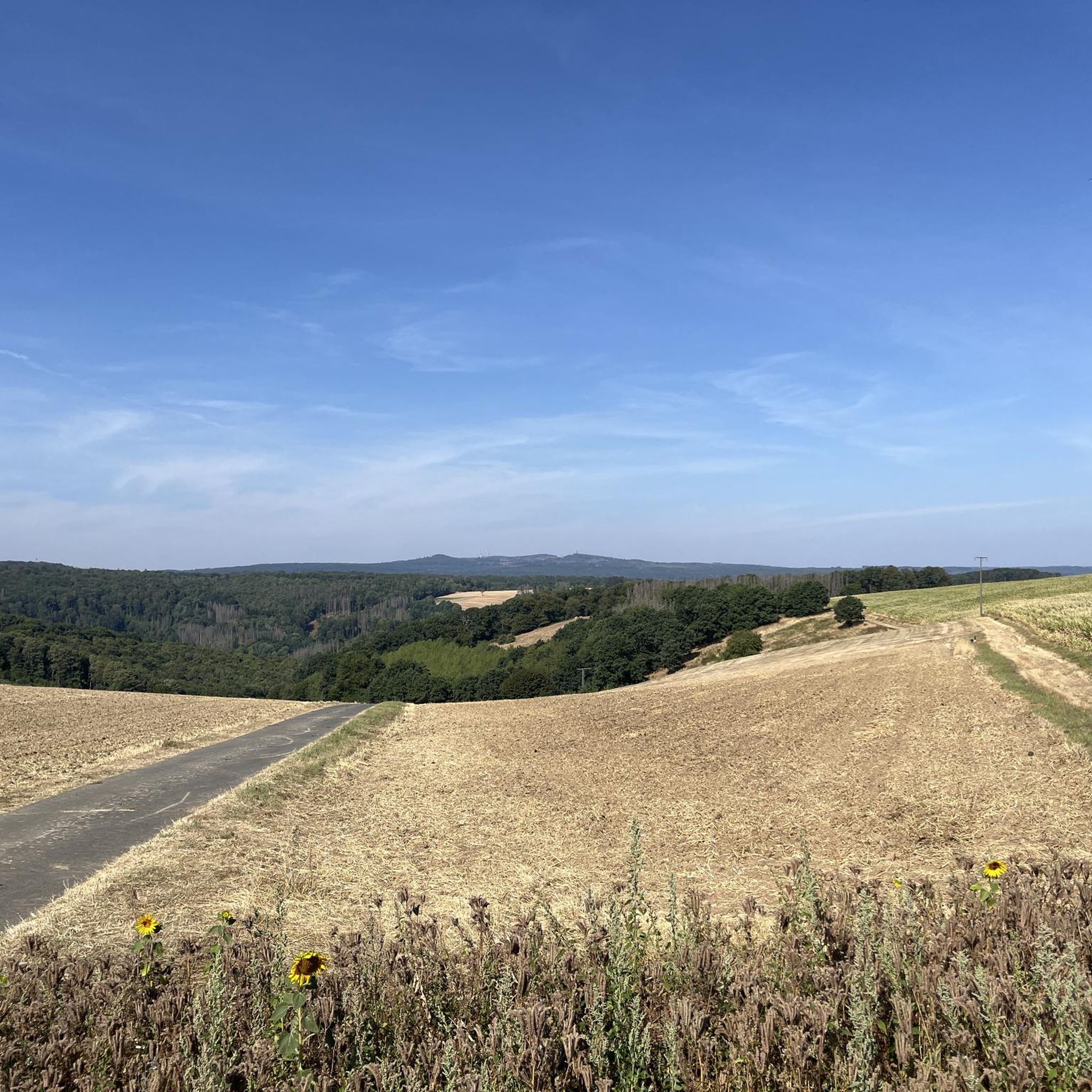
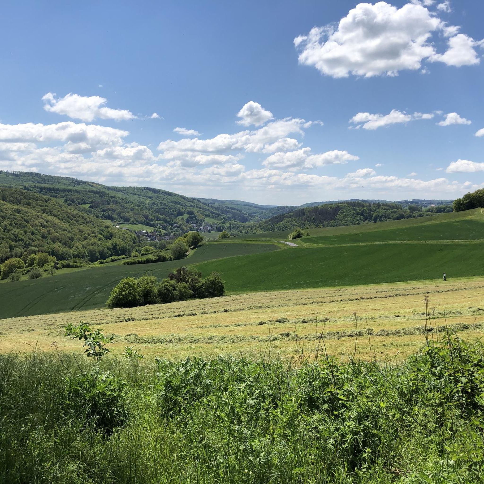
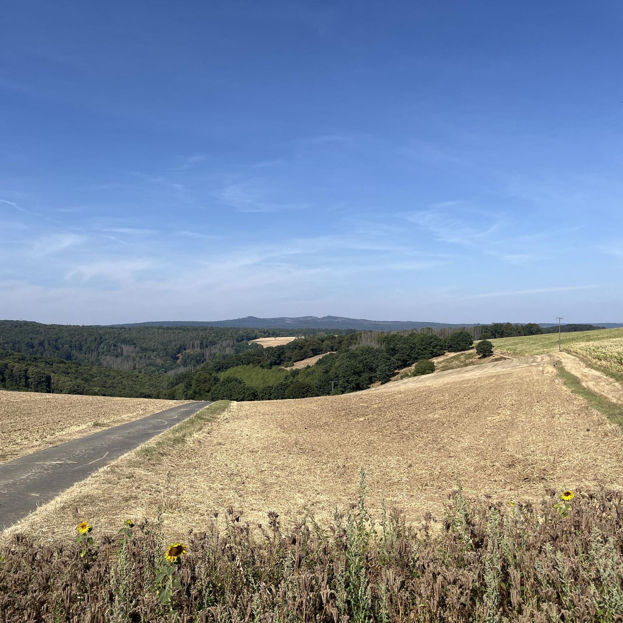
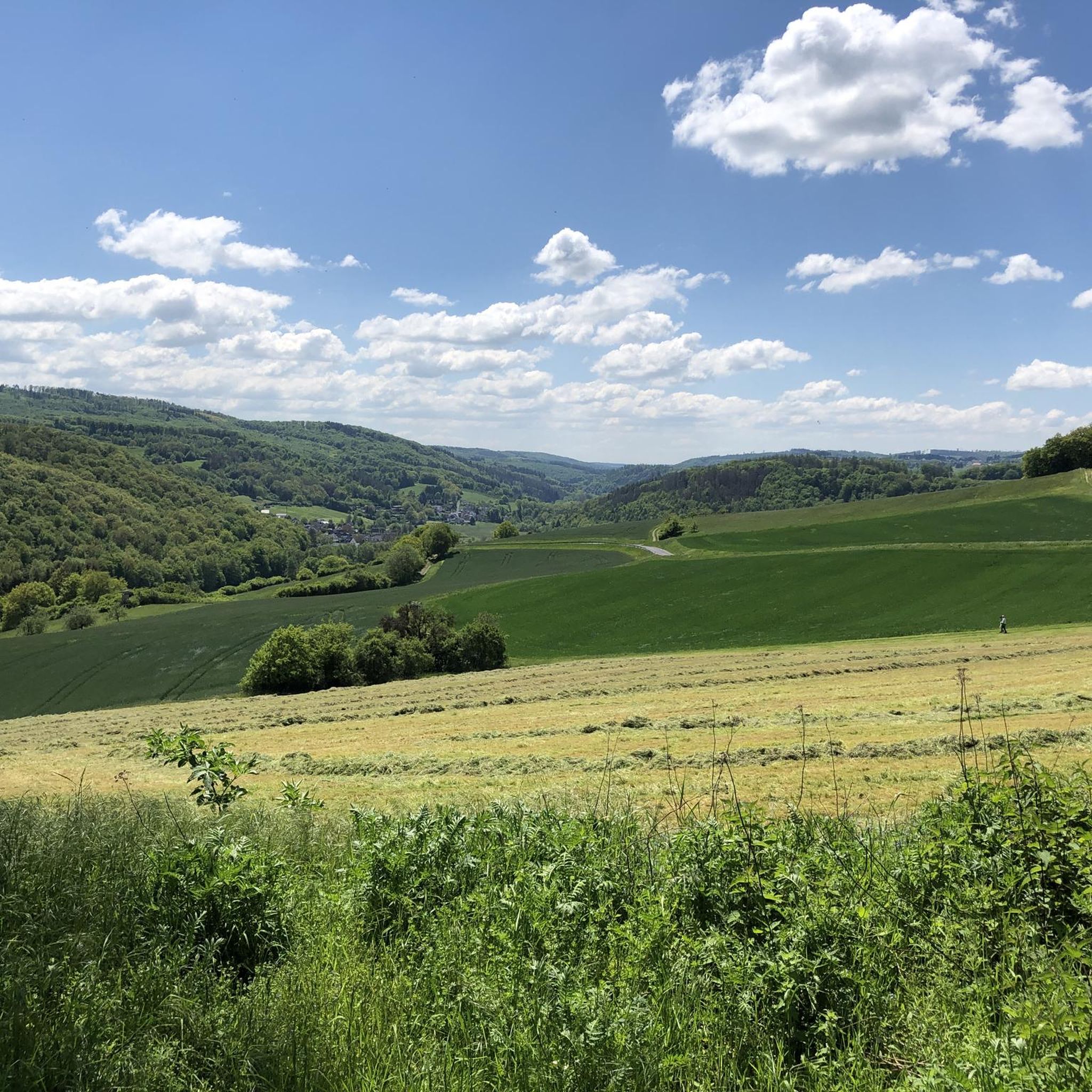
Hiking around Heilberscheid offers diverse landscapes characterized by wooded hills and serene river valleys, including the Isselbach and Gelbach. The region is geographically positioned between the Lahn and Sieg rivers, providing a mix of forests, open fields, and elevated points like Eichheider Berg (323m). These features offer panoramic views of the Westerwald landscape, including the Montabaurer Senke and Gelbachtal. The area also includes natural landmarks such as the former basalt quarry Hettenstein and is close to the Nassau Nature Park.
Best hiking trails in Heilberscheid
- The most popular hiking route is Sespenroth Abandoned Village loop from Heilberscheid, a 3.5 miles (5.6 km) trail that takes 1 hour 37 minutes to complete. This easy route leads to the site of a medieval abandoned village.
- Another top favourite among local hikers is The Coffin in the Zingelsloch – Isselbach Stream loop from Heilberscheid, an easy 2.8 miles (4.6 km) path. This trail explores the Isselbach Stream valley, offering a tranquil natural setting.
- Local hikers also love the Isselbach Stream – View of Nomborn loop from Heilberscheid, a 5.3 miles (8.5 km) trail leading through varied terrain with views towards Nomborn, often completed in about 2 hours 22 minutes.
- Hiking around Heilberscheid is defined by wooded hills, river valleys, and extensive forests. The network offers options for different ability levels, from easy walks to moderate treks.
- The routes in Heilberscheid are highly rated by the komoot community with an average score of 4.7 stars from nearly 500 reviews. More than 1,700 hikers have used komoot to explore Heilberscheid's varied terrain.
Last updated: May 19, 2026
4.5
(4)
16
hikers
Easy hike. Great for any fitness level. Easily-accessible paths. Suitable for all skill levels.
4.4
(7)
18
hikers
5.56km
01:37
150m
150m
Easy hike. Great for any fitness level. Easily-accessible paths. Suitable for all skill levels.

Sign up for free
4.2
(6)
22
hikers
4.56km
01:18
110m
110m
Easy hike. Great for any fitness level. Easily-accessible paths. Suitable for all skill levels.
6
hikers
8.53km
02:22
150m
150m
Moderate hike. Good fitness required. Easily-accessible paths. Suitable for all skill levels.
5.0
(4)
5
hikers
Moderate hike. Good fitness required. Easily-accessible paths. Suitable for all skill levels.
Get access to more routes and recommendations from other explorers.
Sign up for free
Already have an account?
Our route recommendations are based on thousands of hikes, rides, and runs completed by other people on komoot.
Start today with a free account
Your next adventure awaits.
Login or Signup

Tips from the Community

... great for a relaxing time.
0
0
... great paddling area.
0
0
... splendid.
0
0
So beautiful
1
0

Super well maintained and beautifully made
0
0
Great for touching and guessing
0
0
Here you can observe
0
0
... nice to look at.
1
0
Frequently Asked Questions
How many hiking trails are available in Heilberscheid?
Heilberscheid offers a diverse network of over 20 hiking trails, catering to various preferences and fitness levels. You'll find a good mix of easy walks and more moderate treks through the region's scenic landscapes.
What is the best time of year to go hiking in Heilberscheid?
The most enjoyable times for hiking in Heilberscheid are during spring (March-May) and autumn (September-November). These seasons offer mild temperatures and the natural beauty of changing foliage or blooming landscapes, enhancing the hiking experience significantly.
Are there easy hiking trails suitable for beginners or casual walkers?
Yes, Heilberscheid has plenty of easy hiking options. Out of the more than 20 trails, 14 are classified as easy. A great example is the Sespenroth Abandoned Village loop from Heilberscheid, which is 5.6 km long and leads to a historical site.
Can I find more challenging hikes in the area?
Absolutely. For those seeking a bit more challenge, Heilberscheid offers 6 moderate trails. These routes often feature more varied terrain and elevation changes, providing a rewarding experience for more experienced hikers. An example is the Isselbach Stream – View of Nomborn loop from Heilberscheid, which covers 8.5 km with some elevation.
Are there family-friendly hiking options in Heilberscheid?
Yes, the Heilberscheid Forest Nature Trail (Walderlebnisweg Heilberscheid) is particularly appealing for families. This 2 km circular path features 11 interactive stations, including a barefoot path and an insect hotel, designed to educate and entertain children about local forest ecosystems. You can explore a longer version of this trail with the Heilberscheid Forest Nature Trail – Nature's Embrace Sculpture loop from Heilberscheid.
Are there circular hiking routes available?
Many of the trails in Heilberscheid are circular, offering convenient starting and ending points. The 'Walking-Treff' above the grill hut on Waldstraße serves as a starting point for four color-marked circular routes, ranging from 4.5 km to 14.5 km, exploring the Isselbachtal, Gelbachtal, and Eichheider Berg. The The Coffin in the Zingelsloch – Isselbach Stream loop from Heilberscheid is another excellent circular option.
What kind of landscapes and natural features can I expect to see while hiking?
Heilberscheid's landscape is characterized by picturesque wooded hills, serene river valleys like the Isselbach and Gelbach, and expansive open fields. From elevated points such as Eichheider Berg, you can enjoy panoramic views of the Westerwald landscape, including the Montabaurer Senke and Gelbachtal. The region also features natural landmarks like the former basalt quarry Hettenstein.
Are there any interesting historical sites or landmarks along the trails?
Yes, hikers can discover several interesting sites. A notable historical point is the Wüstung Sespenroth (Abandoned Village of Sespenroth), the site of a medieval settlement. Additionally, the region features unique natural landmarks like an old lime tree and a dry-stone walled fire pond in the 'Unterm Dorf' area.
What do other hikers say about the trails in Heilberscheid?
The hiking trails in Heilberscheid are highly regarded by the komoot community, boasting an impressive average rating of 4.7 out of 5 stars from nearly 500 reviews. Hikers frequently praise the tranquil natural settings, well-maintained paths, and the diverse scenery of forests and river valleys.
Are there any viewpoints or scenic overlooks on the hikes?
Yes, several trails offer stunning views. Elevated points like Eichheider Berg provide panoramic vistas of the Montabaurer Senke, Gelbachtal, and Eisenbachtal. You can also find highlights such as the Köppel Observation Tower or the View of the Lahn River bend from Gabelstein nearby, offering expansive outlooks.
Are there any caves or unique rock formations to explore near Heilberscheid?
Yes, the region around Heilberscheid features several interesting geological formations. You can explore highlights such as the Wolf Cave, the Old Women's Cave, or the Wildweiberhäuschen ("Wild Women’s Hut") rock formation at Malberg summit.
Is there parking available at the trailheads?
While specific parking details for every trailhead vary, the 'Walking-Treff' located above the grill hut on Waldstraße is a well-known starting point for several circular routes and typically offers facilities for hikers, including parking.
Most popular routes around Heilberscheid
Most popular attractions around Heilberscheid

Get inspired with the komoot mobile app


Explore more
Browse the best Hikes in other regions.
