The best MTB trails in Belalcázar
4.7
(3)
138
riders
12
rides
Mountain bike trails in Belalcázar are set within the mountainous terrain of Colombia's Central and Western Andes, characterized by significant elevation changes. The region features extensive coffee plantations and diverse ecosystems, providing varied backdrops for mountain biking. Riders can expect routes winding through lush green landscapes and offering panoramic views of river valleys and distant mountain ranges. The area's geography presents a mix of challenging climbs and scenic paths.
Best mountain bike trails in Belalcázar
- The most popular mountain bike…
Last updated: July 4, 2026
5.0
(1)
56
riders
49.9km
03:55
1,250m
1,250m
Hard mountain bike ride. Very good fitness required. Suitable for all skill levels.
35
riders
68.7km
06:33
1,890m
1,890m
Hard mountain bike ride. Very good fitness required. Suitable for all skill levels.

Sign up for free
25
riders
33.9km
02:43
770m
770m
Moderate mountain bike ride. Good fitness required. Suitable for all skill levels.
4.0
(1)
8
riders
48.2km
03:34
1,080m
1,080m
Hard mountain bike ride. Very good fitness required. Suitable for all skill levels.
4
riders
24.7km
02:14
740m
740m
Moderate mountain bike ride. Good fitness required. Suitable for all skill levels.
Get access to more routes and recommendations from other explorers.
Sign up for free
Already have an account?
Our route recommendations are based on thousands of hikes, rides, and runs completed by other people on komoot.
Start today with a free account
Your next adventure awaits.
Login or Signup
Popular around Belalcázar
Tips from the Community

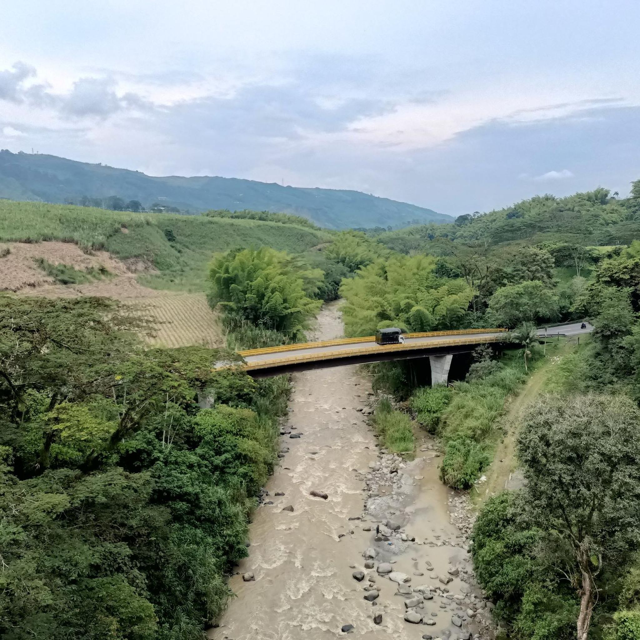
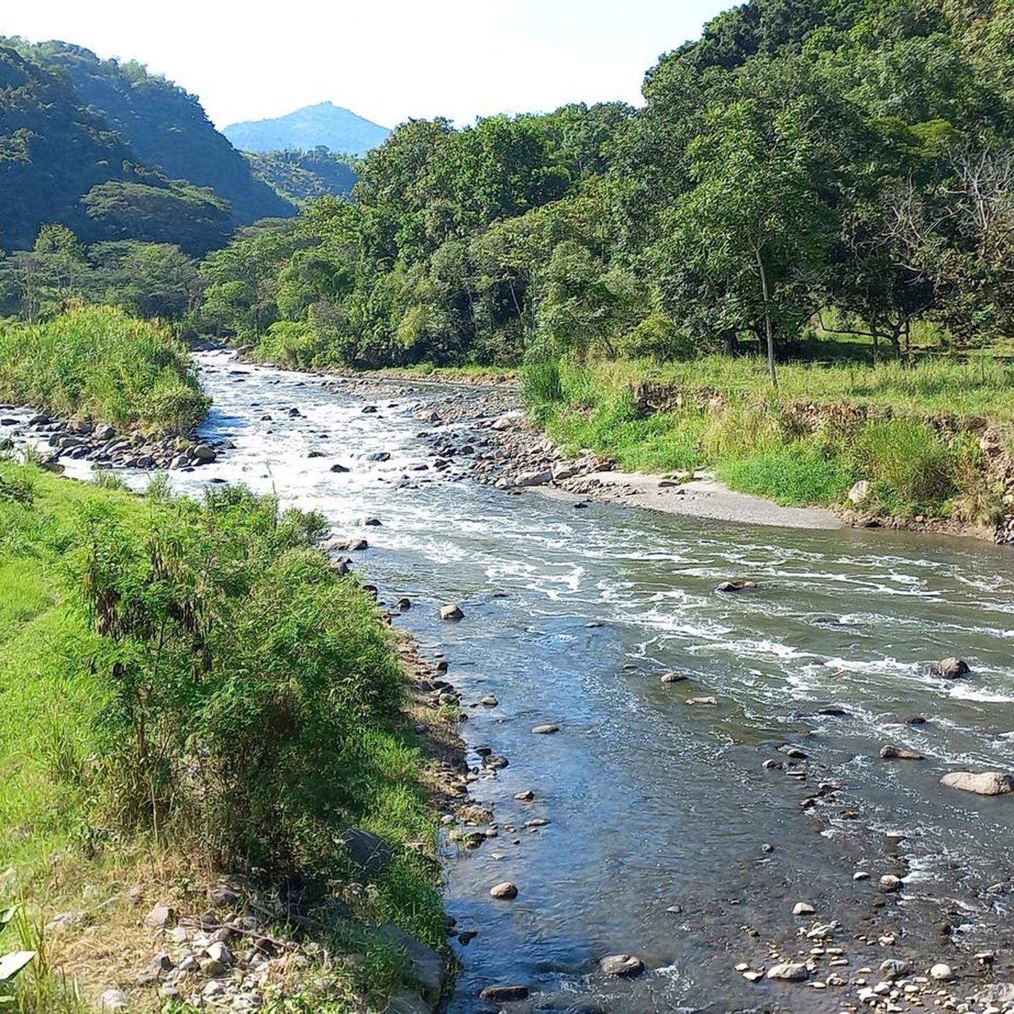
Approximate distance: 9.33 km. It begins with a very technical descent of large stones on a narrow and poorly maintained path, so you should descend with caution. After reaching the Campoalegre river, a 2.4 km ascent begins; from there, we will find alternating sections of climbs and descents until the final descent towards La Esmeralda.
0
0
MTB section, approximately 4.05 km, is an unknown site located on the road to Esmeralda, it is very pleasant as it runs along paved trails full of nature and is almost all flat, and ends at the Estrella path.
0
0
Lake Balsora or Cameguadua Reservoir was built in 1952 to supply the power generating plants of Insula, La Esmeralda and San Francisco. Over time, the lake became a problem as it received a lot of sediment from the basins that supplied the reservoir. It was then divided into three lakes; and the CHEC, in alliance with the Government, the Mayor's Office, Empocaldas and Corpocaldas began with work to decontaminate and dredge the lake. In 2010, the north lake was isolated and in 2012, the construction of the pipeline to supply water from the Campoalegre River was completed, thinking of converting the place into a tourist site with great natural and landscape wealth. Today it has the capacity for 300 or 400 people, parking areas for cars and motorcycles, in addition, it has a 600 meter path and a special roundabout for bird watching, it has sport fishing, and a boat service.
0
0
La Vereda El Trébol was founded in 1926 by Antioquian colonizers, its founders were Luis Emilio López and Desiderio López without any relation, from a humble background, they arrived when grass covered the region. They made their way and planted bread products and transported what was produced on foot to the San Pacho market, which is currently the Municipality of Chinchiná. Little by little, more settlers arrived in the region and the joint activities of its residents began to be carried out, such as bazaars, raffles and parties. Some time later the church and the aqueduct in 1951 which to this day provides valuable water to this community. In September, its festivals called "the collector's festivals" are celebrated and it is located at 1,510 meters above sea level and has an estimated population of 1,800 inhabitants.
0
0
La Estrella is a path located between Trébol and Floresta, and is between the Chinchina-Marseille road. The Star River passes through it.
0
0
Ascent for MTB by trail to Palestine, a very pleasant and quiet route, it is also demanding with good climbs to get to the road to Palestine, there are 2.67 km of route
0
0
MTB section, which communicates under Spanish and the clover. 6.23 kms of distance and 4.6 5 of inclination
0
0

El Trébol is a place to go to or return from many places
1
0
Frequently Asked Questions
How many mountain bike trails are there in Belalcázar?
Belalcázar offers a selection of 12 mountain bike trails, catering to various skill levels. You'll find 4 moderate routes and 8 difficult routes, all set within the region's stunning mountainous terrain.
What kind of terrain can I expect on mountain bike trails in Belalcázar?
The terrain in Belalcázar is predominantly mountainous, featuring rolling hills, deep valleys, and significant elevation changes. You'll ride through lush coffee plantations, diverse ecosystems, and enjoy panoramic views of river valleys and distant Andean peaks. Expect a mix of challenging climbs and exhilarating descents.
Are there any easy mountain bike trails for beginners in Belalcázar?
While Belalcázar is known for its challenging routes, there are 4 moderate trails available. For example, the La Esmeralda Lake loop from Lago is a moderate 33.9 km trail with 767 meters of elevation gain, offering a good option for those building their experience.
What are some challenging mountain bike routes in Belalcázar?
For experienced riders, Belalcázar offers several difficult routes. The Vereda El Trébol – Bella Mirada Viewpoint loop from Lago is a demanding 68.7 km path with over 1800 meters of ascent. Another challenging option is the La Esmeralda Lake – La Muleta loop from Lago, a 49.9 km trail with substantial elevation gain.
Are there any circular mountain bike routes in Belalcázar?
Yes, many of the mountain bike trails in Belalcázar are circular. Popular options include the difficult La Esmeralda Lake – La Muleta loop from Lago and the moderate La Esmeralda Lake loop from Lago. These loops allow you to start and finish at the same point, making logistics easier.
What kind of views can I expect while mountain biking in Belalcázar?
Belalcázar, known as "El Balcón del Paisaje," offers spectacular panoramic views. From various points, you can see up to 11 municipalities across different departments, as well as the Western and Central mountain ranges, including the snow-capped volcanoes of Ruiz, Santa Isabel, and Tolima. Many routes wind through coffee plantations, offering vibrant green backdrops.
What landmarks or natural features can I see along the mountain bike trails?
You can encounter several notable landmarks and natural features. The Nápoles (Comehombres) Climb is a challenging section with beautiful views of the Mapa River. You might also pass by the Peralonso to Alto del Cielo Trail or the impressive Totuí Canyon. The region is also characterized by its extensive coffee plantations and the presence of the Cauca and Risaralda rivers.
What do other mountain bikers enjoy most about Belalcázar?
The mountain bike trails in Belalcázar are highly rated by the komoot community, with an average score of 4.5 stars. Riders frequently praise the stunning mountainous terrain, the challenging climbs, and the breathtaking panoramic views of the coffee region and distant volcanoes.
Are there any specific climbs or technical sections I should be aware of?
Yes, Belalcázar is known for its challenging climbs. The Nápoles (Comehombres) Climb is a particularly notable section, a 4.3 km MTB climb with an average gradient of 13%, including difficult sections exceeding 25%. Routes like the La Muleta – Cuazao–Alto de la Paz Trail loop from Lago also feature significant elevation gains and technical descents.
What is the best time of year to go mountain biking in Belalcázar?
While specific seasonal considerations are not detailed, the region's mountainous terrain and diverse ecosystems suggest that conditions can vary. Generally, the Coffee Cultural Landscape experiences consistent temperatures year-round, but it's advisable to check local weather forecasts for rainfall, as wet conditions can make trails more challenging.
Are there any bike parks or dedicated mountain biking facilities in Belalcázar?
Yes, the area includes facilities like the Alto Carminales Educational Center, which is listed as an MTB park. Additionally, there are several dedicated trails such as La Montañita and La Romelia–La Habana Trail that cater to mountain biking enthusiasts.
Most popular routes in Belalcázar
Most popular attractions in Belalcázar

Get inspired with the komoot mobile app


Explore more
Browse the best MTB trails in other regions.
