
The best running trails in Villa De Leyva
4.6
(23)
160
runners
18
runs
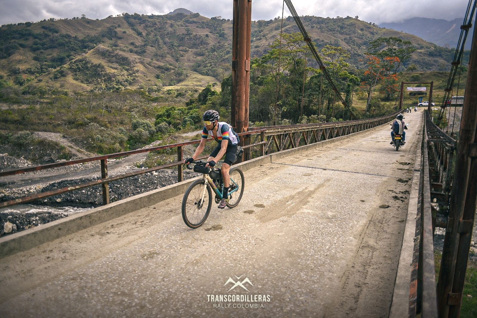
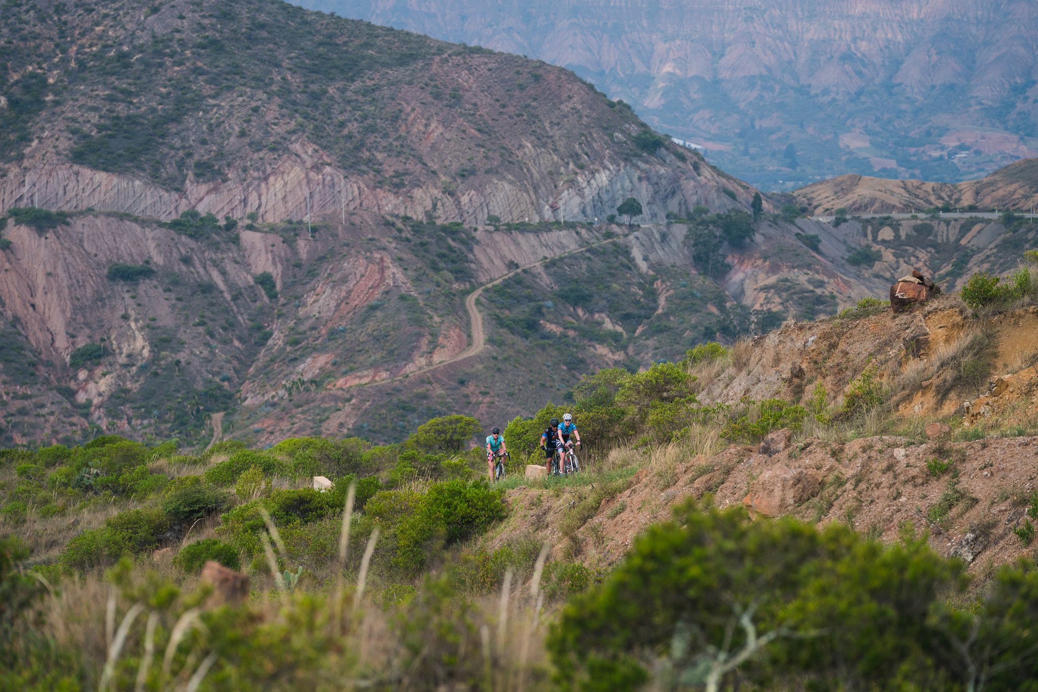
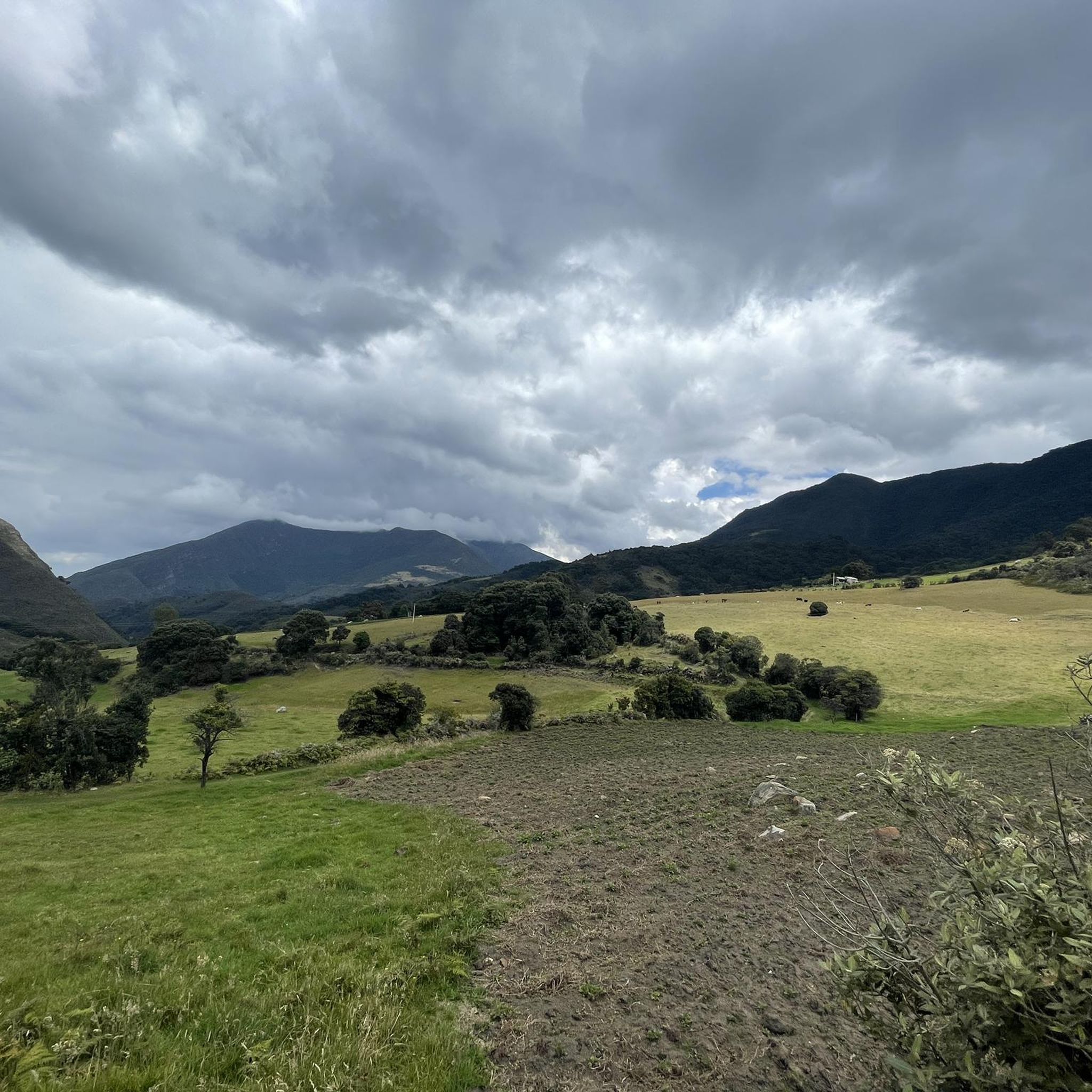
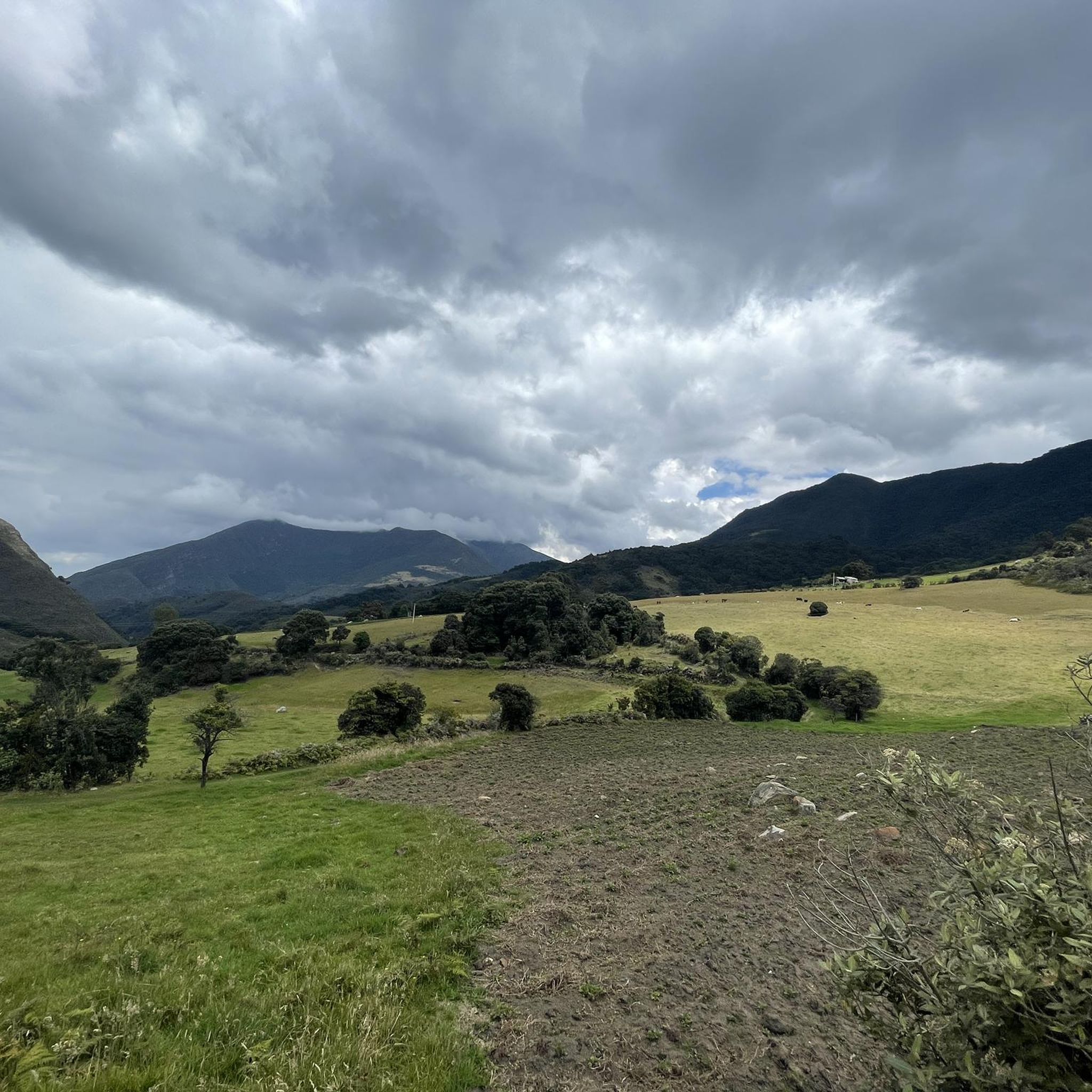
Jogging in Villa De Leyva offers diverse landscapes, from lush green hills and high Andean forests to semi-desert terrain, providing varied backdrops for running. The town itself sits at an elevation of 2,149 meters (7,051 ft), contributing to an invigorating environment for physical activity. The region is characterized by its varied rural scenery, framed by two branches of the eastern Andes mountain range. This combination of natural features and elevation creates a unique setting for outdoor enthusiasts.
Best jogging routes…
Last updated: July 1, 2026
3.8
(10)
30
runners
10.1km
01:05
150m
150m
Moderate run. Good fitness required. Mostly paved surfaces. Suitable for all skill levels.
5.0
(3)
27
runners
3.94km
00:42
280m
280m
Moderate run. Good fitness required. Mostly paved surfaces. Suitable for all skill levels.

Sign up for free
7
runners
14.7km
01:39
250m
250m
Moderate run. Good fitness required. Mostly paved surfaces. Suitable for all skill levels.
6
runners
6.70km
00:59
330m
330m
Hard run. Very good fitness required. Mostly paved surfaces. Suitable for all skill levels.
4.5
(2)
6
runners
11.7km
01:17
200m
200m
Moderate run. Good fitness required. Mostly paved surfaces. Suitable for all skill levels.
Get access to more routes and recommendations from other explorers.
Sign up for free
Already have an account?
Our route recommendations are based on thousands of hikes, rides, and runs completed by other people on komoot.
Start today with a free account
Your next adventure awaits.
Login or Signup
Popular around Villa De Leyva




Frequently Asked Questions
What kind of terrain can I expect on the running routes around Villa de Leyva?
The region offers a diverse landscape for runners, ranging from lush green hills and high Andean forests to semi-desert ecosystems. You'll find varied backdrops and challenges, including colonial cobblestone streets within the town, and trails with significant elevation changes outside of it. This mix provides options for all preferences, from gentle paths to more strenuous runs.
Are there running routes suitable for beginners or those looking for an easy jog?
Yes, Villa de Leyva has routes suitable for all skill levels. For instance, the Running loop from Museo El Fósil is a popular option that is generally accessible. The area offers several paths with mostly paved surfaces and moderate elevation gains, perfect for an easy run.
What are some of the natural attractions or landmarks I can see while jogging in Villa de Leyva?
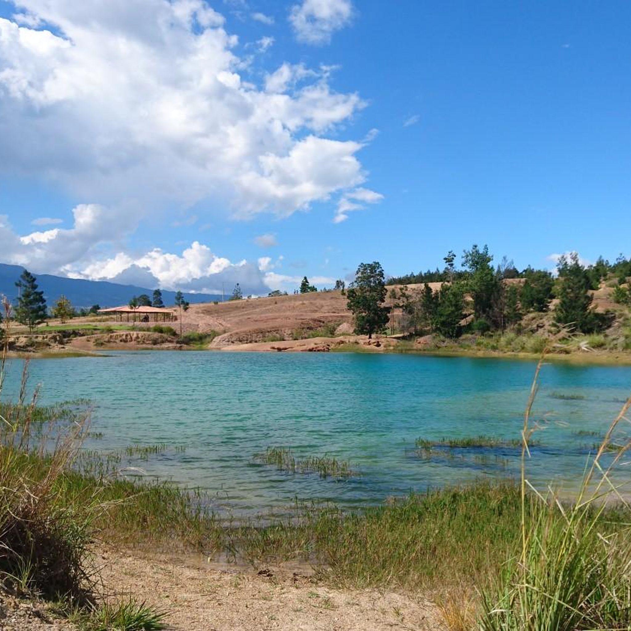
Jogging in Villa de Leyva allows you to experience stunning natural beauty and historical sites. You might encounter the unique turquoise waters of Pozos Azules in a semi-desert landscape, or the impressive cascades of La Periquera Waterfalls. For panoramic views of the town and surrounding mountains, a challenging run to Mirador El Santo is rewarding. Within the town, the well-preserved colonial architecture and cobblestone streets offer a charming urban jogging experience, with highlights like the Plaza Mayor of Villa de Leyva.
Are there any challenging running trails for experienced runners in the area?
Absolutely. For those seeking a significant challenge, Villa de Leyva offers routes with considerable elevation gain and longer distances. For example, the Finca privada loop from Villa de Leyva is rated as difficult, featuring over 328 meters (1076 ft) of elevation gain. These trails demand good fitness, sure-footedness, and sturdy shoes.
What do other runners say about the jogging experience in Villa de Leyva?
The running routes in Villa de Leyva are highly regarded by the komoot community, boasting an average rating of 4.7 stars from over 15 reviews. Runners often praise the diverse landscapes, from lush hills to semi-desert terrain, and the invigorating environment provided by the town's elevation. Many appreciate the variety of routes catering to different fitness levels.
Can I find circular running routes in Villa de Leyva?
Yes, many of the running routes in Villa de Leyva are designed as loops, allowing you to start and finish in the same location. Examples include the popular Running loop from Villa de Leyva and the Cristo loop from Villa de Leyva, which offer convenient circular paths to explore the region.
What is the typical length of running trails in Villa de Leyva?
The running trails in Villa de Leyva vary significantly in length to suit different preferences. You can find shorter routes, such as the Cristo loop from Villa de Leyva at 2.4 miles (3.9 km), or longer options like the Running loop from Museo El Fósil, which spans 9.1 miles (14.7 km). The total network includes routes up to 10 miles or more.
Is Villa de Leyva suitable for family-friendly jogging or running with children?
While specific routes are not explicitly designated as 'family-friendly' in the data, the presence of easier paths with mostly paved surfaces and moderate elevation gains suggests that some routes could be suitable for families. Look for shorter, less challenging loops if jogging with children, keeping in mind the town's elevation of 2,149 meters (7,051 ft) might be a factor for younger participants.
What is the best time of year to go running in Villa de Leyva?
Villa de Leyva's climate is generally mild year-round due to its elevation. However, the region experiences distinct wet and dry seasons. The drier months typically offer more comfortable conditions for outdoor activities like running. It's always advisable to check local weather forecasts before heading out, especially during the rainy season, to prepare for potential showers and muddy trails.
Are there options for parking near the running routes in Villa de Leyva?
While specific parking information for each route is not detailed, Villa de Leyva is a well-visited town, and parking facilities are generally available, particularly near popular attractions or the town center. For routes starting outside the town, it's recommended to check the specific route details on komoot for any indicated parking areas or consider public transport options to reach trailheads.
What should I wear for jogging in Villa de Leyva, considering the weather and elevation?
Given Villa de Leyva's elevation of 2,149 meters (7,051 ft), temperatures can be cooler than at sea level, especially in the mornings and evenings. It's best to dress in layers, allowing you to adjust to changing conditions. Breathable, moisture-wicking clothing is recommended. Sturdy running shoes with good grip are essential, particularly for trails with varied terrain, cobblestones, or potential muddy sections during the wet season.
Can I bring my dog on the running trails in Villa de Leyva?
Many outdoor areas in Colombia are dog-friendly, but specific regulations can vary for national parks or private properties. While the general trails around Villa de Leyva are often accessible for dogs, it's always best to keep your dog on a leash and ensure you clean up after them. If planning to visit protected areas like Iguaque Flora and Fauna Sanctuary, verify their specific pet policies beforehand.
Most popular attractions in Villa De Leyva

Get inspired with the komoot mobile app


Explore more
Browse the best Running Trails & Routes in other regions.
