The best road cycling routes in Tuta
4.9
(118)
892
riders
13
rides
Road cycling in Tuta, Colombia, offers diverse landscapes and challenging terrain within the Boyacá department. The region is characterized by high-altitude routes, with cycling roads often situated between 2,150 and 3,250 meters above sea level. This Andean environment provides varied topography, from demanding climbs to more moderate paths, often featuring well-paved surfaces.
Best road cycling routes in Tuta
- The most popular road cycling route is Gámeza Canyon Climb – Alto de Tobasía loop from Paipa, a 67.3 miles (108.3…
Last updated: July 1, 2026
5.0
(69)
302
riders
108km
05:18
1,260m
1,260m
Hard road ride. Very good fitness required. Mostly well-paved surfaces and easy to ride.
5.0
(2)
103
riders
64.2km
03:18
760m
760m
Moderate road ride. Good fitness required. Mostly well-paved surfaces and easy to ride.

Sign up for free
4.9
(20)
97
riders
49.2km
02:05
360m
360m
Moderate road ride. Good fitness required. Mostly well-paved surfaces and easy to ride.
90
riders
126km
08:37
1,460m
1,460m
Hard road ride. Very good fitness required. Some segments of this route may be unpaved and difficult to ride.
5.0
(4)
64
riders
46.5km
02:27
650m
650m
Moderate road ride. Good fitness required. Some segments of this route may be unpaved and difficult to ride.
Get access to more routes and recommendations from other explorers.
Sign up for free
Already have an account?
Our route recommendations are based on thousands of hikes, rides, and runs completed by other people on komoot.
Start today with a free account
Your next adventure awaits.
Login or Signup
Popular around Tuta

Tips from the Community

I did it by diverting onto an unpaved route from Santa Rosa de Viterbo, a good option if you want to avoid traffic on the main road, however, it is recommended on MTB or Gravel.
0
0

Summit between the municipalities of Santa Rosa de Viterbo and Belén. Elevation close to 3000 meters above sea level
0
0
Stop between the municipalities of Santa Rosa de Viterbo and Cerinza. Elevation 2974 meters above sea level.
0
0
Representative place where you can find several establishments that offer mojicones, mantecadas, genoas and other culinary foods of the region.
0
0
Playground in the Villa del Rosario sector. There are gym type machines.
0
0
Medieval castle-themed park. As of May 2023 it is practically abandoned. Even the playground is very run down.
0
0
Children's playground in the sector of La Culebrera. There are gym type machines.
0
0
Park with castle and passageways. It is very neglected. Almost in ruins. The park for children is very deteriorated. It is located on the edge of the urban case of Tibasosa
0
0
Frequently Asked Questions
How many road cycling routes are available in Tuta?
Tuta offers a diverse selection of 14 road cycling routes. These range from moderate to difficult, providing options for various skill levels.
What is the best time of year for road cycling in Tuta?
The climate in Tuta allows for year-round cycling. The Andean scenery means you can experience significant changes in temperature and scenery, from colder high-altitude environments to warmer lowlands, often within a single day's ride.
Are there routes suitable for beginners or less experienced cyclists?
Yes, Tuta has routes suitable for various skill levels. While many routes feature significant elevation changes, there is 1 easy route and 9 moderate routes available. For example, the El Guiol Grocery Store loop from Pesca is a moderate 49.2 km trail that can be completed in about 2 hours 5 minutes.
Are there challenging routes for experienced road cyclists?
Absolutely. Tuta is known for its challenging climbs and high-altitude routes, with roads often between 2,150 and 3,250 meters above sea level. Difficult options include the Gámeza Canyon Climb – Alto de Tobasía loop from Paipa, a 108.3 km ride with over 1,260m of elevation gain, and the Lake Tota – La Cascajera Pass loop from Paipa, which covers 125.7 km with nearly 1,460m of ascent.
What kind of landscapes can I expect to see while cycling in Tuta?
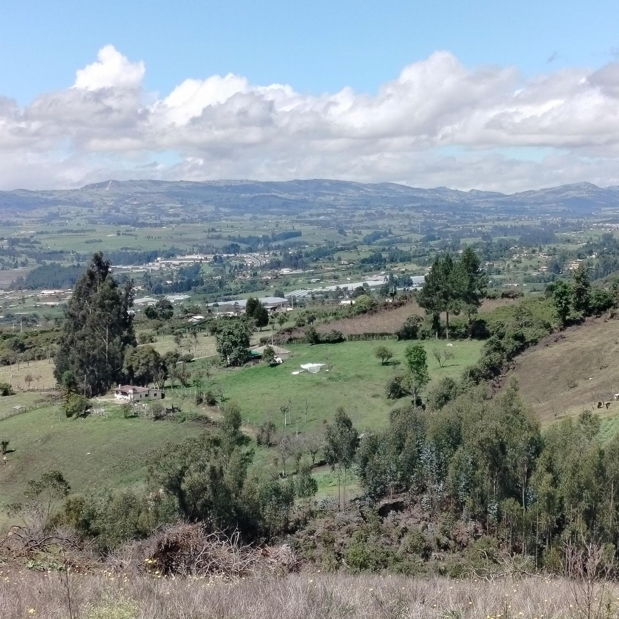
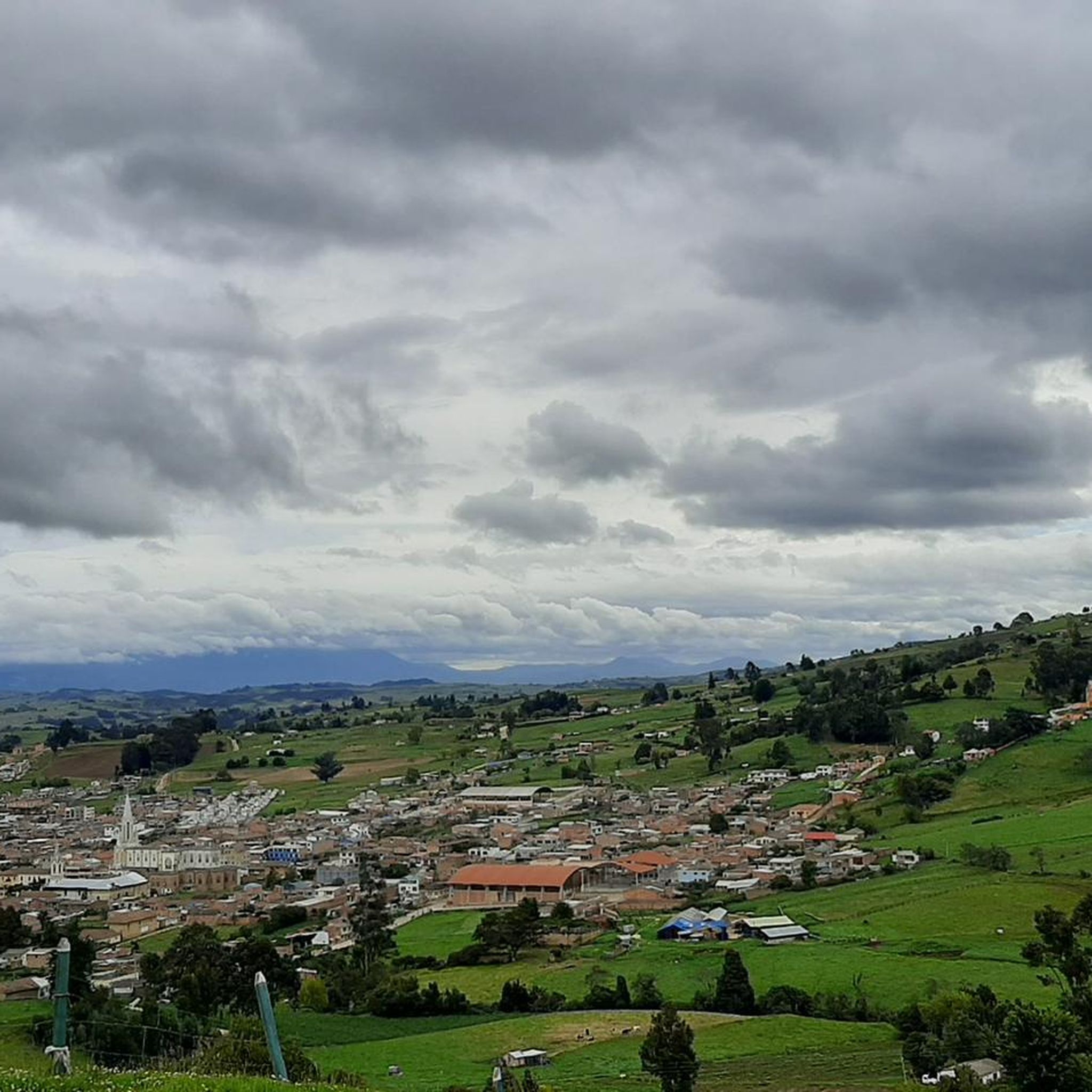
Road cycling in Tuta offers diverse Andean scenery, from challenging mountain passes to stunning lake views. You'll encounter high-altitude plateaus, lush valleys, and potentially even unique features like the white sands of Playa Blanca at Laguna de Tota.
What landmarks or points of interest can I explore along the road cycling routes in Tuta?
The region around Tuta is rich in natural beauty and cultural sites. Cyclists can pass by the iconic Curies Summit, a popular destination for its elevation and views. The nearby Laguna de Tota, Colombia's largest freshwater lake, offers a scenic ring road and attractions like La Cascajera Pass. You might also encounter the Monument to the Lancers of the Vargas Swamp.
Are there any circular road cycling routes in Tuta?
Yes, many of the routes in Tuta are designed as loops, allowing you to start and finish at the same point. Examples include the Garden View in Colombia – Alto del Portachuelo loop from Paipa and the Alto del Portachuelo – Garden View in Colombia loop from Paipa.
Where can cyclists find places to rest or refuel along the routes?
The region has various spots where cyclists can take a break. For instance, the Cyclists' Stop in Pesca is a dedicated cafe for riders. Additionally, the ring road around Laguna de Tota is dotted with lakeside lodges and restaurants, offering opportunities for rest and refreshments.
What do other cyclists say about the road cycling experience in Tuta?
The road cycling routes in Tuta are highly rated by the komoot community, with an average score of 4.9 stars from over 100 reviews. Cyclists often praise the challenging terrain, the stunning high-altitude views, and the diverse Andean scenery that makes each ride unique.
Is Tuta suitable for high-altitude training?
Yes, Tuta and the surrounding Boyacá plateau are ideal for high-altitude training. Cycling roads are typically situated between 2,150 and 3,250 meters above sea level, providing a significant challenge and contributing to why many top professional cyclists come from Colombia.
Are there any specific natural features to look out for on the routes?
Beyond the general Andean scenery, keep an eye out for the vast Laguna de Tota, Colombia's largest natural freshwater lake, and its unique Playa Blanca with white sand. The area around the lake is also an Important Bird Conservation Area, home to 135 species of waterbirds.
Can I find accommodation suitable for cyclists in the Tuta region?
Yes, the region, particularly around Laguna de Tota and in charming towns like Iza, offers various accommodation options. You'll find lakeside lodges and guesthouses that cater to visitors exploring the outdoors, including cyclists.
Most popular routes in Tuta
Most popular attractions in Tuta

Get inspired with the komoot mobile app


Explore more
Browse the best Road cycling routes in other regions.
