The best road cycling routes in Turmequé
5.0
(6)
181
riders
3
rides
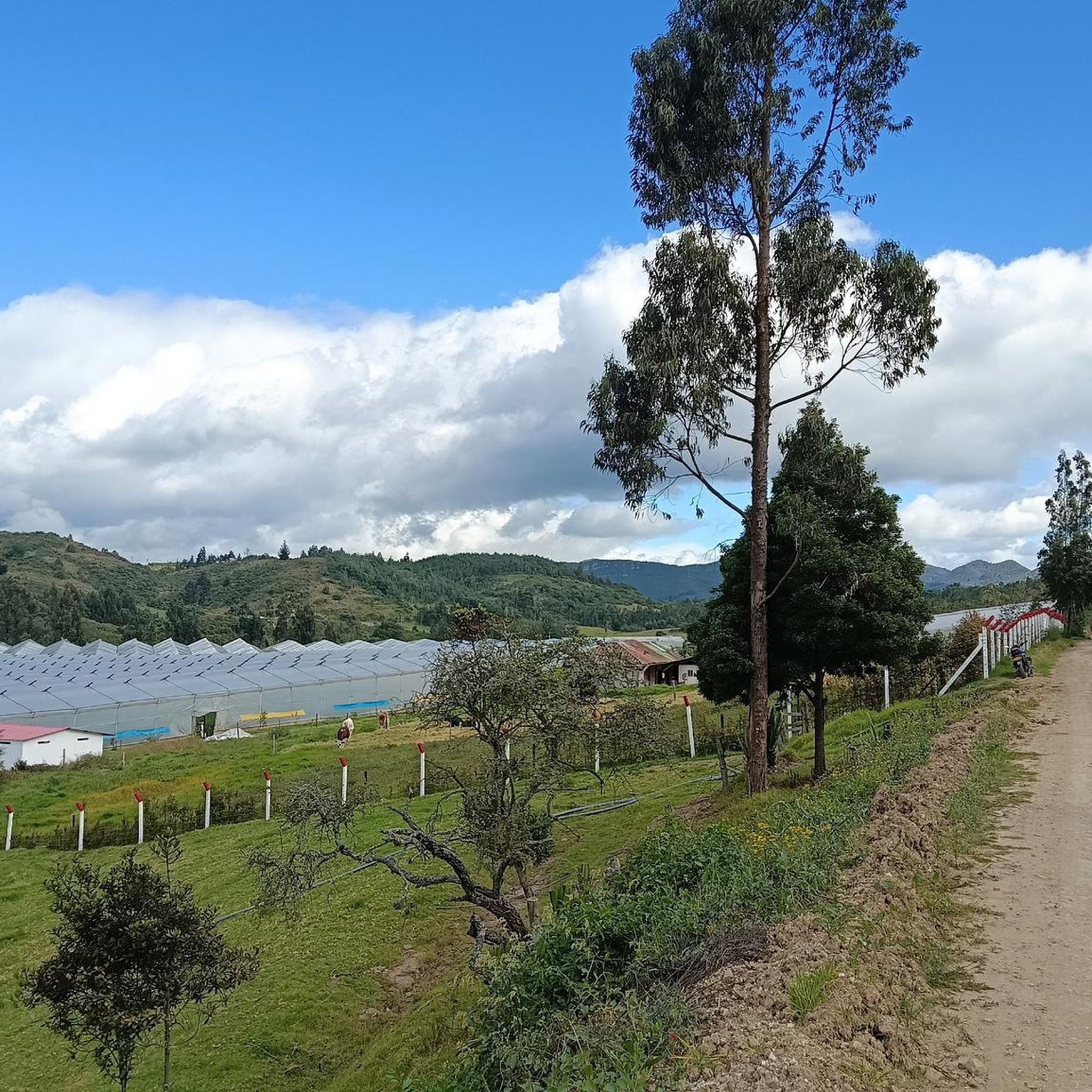
Road cycling routes in Turmequé are characterized by significant elevation changes and varied landscapes, typical of the Boyacá region in Colombia. The terrain features numerous climbs to high points, offering panoramic views, and includes routes that pass by historical landmarks and natural attractions such as reservoirs. The area provides challenging road cycling experiences with substantial elevation gains.
Best road cycling routes in Turmequé
- The most popular road cycling route is Puente de Boyacá – Tunja Velodrome loop from Tierranegra,…
Last updated: July 1, 2026
5.0
(3)
81
riders
72.2km
03:53
1,320m
1,320m
Hard road ride. Very good fitness required. Some segments of this route may be unpaved and difficult to ride.
25
riders
112km
06:10
1,990m
1,990m
Hard road ride. Very good fitness required. Some segments of this route may be unpaved and difficult to ride.

Sign up for free
31
riders
115km
06:21
2,200m
2,200m
Hard road ride. Very good fitness required. Some segments of this route may be unpaved and difficult to ride.
5.0
(2)
5
riders
66.9km
03:41
1,230m
1,230m
Hard road ride. Very good fitness required. Some segments of this route may be unpaved and difficult to ride.
Our route recommendations are based on thousands of hikes, rides, and runs completed by other people on komoot.
Start today with a free account
Your next adventure awaits.
Login or Signup
Popular around Turmequé
Tips from the Community

good way by the berm, calmly, no problem. I suggest not using headphones on the highway, to be aware of the trucks and buses that come.
0
0
A place of passage, the store and the restaurant seem a bit expensive to me. Just for reference point, 5 photos and on.
0
0
Be careful with the trucks, because the road from the dual carriageway is narrow and in fair condition. Beautiful landscapes
0
0

crossing from pte de Boyacá to Samacá, a different tone within the landscape is easy to see, the mountains and the proximity to Villa de Leyva begin to be noticed, yellow and reddish tones, sandstone and cliffs..
0
0
One of the many swings on Route 55, Vetaquemada famous for its arepas and chorizos
0
0
Emblematic tourist site where one of the battles of Simón Bolívar was fought. You have to go down and visit it, free to the public.
0
0
Very good quality pavement, verma and food sectors all along the way.
0
0
Good ascent, very comfortable, on the trip to Villa de Leyva. Be careful on the descent towards Sámaca, sometimes with dense fog, always wear good front and rear lights.
0
0
Frequently Asked Questions
How many road cycling routes are available in Turmequé on komoot?
Komoot features 4 challenging road cycling routes in Turmequé, all designed for experienced cyclists due to significant elevation gains. These routes offer diverse landscapes and substantial climbs.
What kind of terrain can I expect on road cycling routes in Turmequé?
Road cycling in Turmequé is characterized by significant elevation changes and varied landscapes, typical of the Boyacá region. You'll encounter numerous climbs to high points, offering panoramic views, and routes that traverse high-altitude areas.
Are there any easy or beginner-friendly road cycling routes in Turmequé?
The road cycling routes in Turmequé are primarily suited for experienced cyclists. All routes listed on komoot are rated as 'difficult' due to substantial elevation gains, making them less ideal for beginners or those seeking easy rides.
What are some notable landmarks or natural features along Turmequé's road cycling routes?
Many routes offer views of natural attractions like the Sisga Reservoir, as seen on the View of the Sisga Reservoir – Machetá Town Sign loop from Villapinzón. Historical landmarks such as the Puente de Boyacá are also featured on routes like the Puente de Boyacá – Tunja Velodrome loop from Tierranegra.
What is the typical elevation gain for road cycling routes in Turmequé?
Road cycling routes in Turmequé feature substantial elevation gains. For example, the View of the Sisga Reservoir – Machetá Town Sign loop from Villapinzón involves over 2,200 meters of ascent, while the Alto de Ventaquemada – Alto La Parroquia loop from Chocontá has nearly 2,000 meters of climbing.
What do other road cyclists say about their experience in Turmequé?
The road cycling routes in Turmequé are highly rated by the komoot community, with an average score of 5.0 stars from over 6 reviews. Cyclists often praise the challenging ascents, high-altitude landscapes, and scenic reservoir views.
Are there any loop trails for road cycling in Turmequé?
Yes, all the featured road cycling routes in Turmequé are loop trails. This includes the Puente de Boyacá – Tunja Velodrome loop from Tierranegra and the Puente de Boyacá – La Cumbre Ascent via Sámaca loop from Ventaquemada, allowing you to start and finish in the same location.
What is the best time of year for road cycling in Turmequé?
Given the high-altitude nature of the Boyacá region, the dry season (typically December to March and July to August) generally offers the most favorable weather conditions for road cycling, with less rain and clearer skies. However, weather can be variable, so checking local forecasts is always recommended.
Are there any family-friendly road cycling options in Turmequé?
Due to the significant elevation gains and 'difficult' rating of all available routes, Turmequé's road cycling trails are not typically considered family-friendly, especially for younger children or those new to road cycling. They are better suited for experienced adult cyclists.
Where can I find parking for road cycling routes in Turmequé?
While specific parking areas for each trailhead are not detailed, routes often start from towns or villages like Tierranegra, Chocontá, or Villapinzón. It is advisable to research parking availability in these starting locations prior to your ride.
Can I reach Turmequé's cycling routes using public transport?
Turmequé is accessible by bus from larger cities in the Boyacá region. However, transporting bicycles on public transport can vary. It's recommended to check with specific bus operators regarding their policies for carrying bikes before planning your trip.
Are there any cafes or places to refuel along the road cycling routes?
The routes often pass through or near small towns and villages in the Boyacá region. While specific cafes are not listed, you may find opportunities to refuel in places like Villapinzón or near the starting points of the loops. It's always wise to carry sufficient water and snacks.
Most popular routes in Turmequé

Get inspired with the komoot mobile app


Explore more
Browse the best Road cycling routes in other regions.
