The best MTB trails in Topagá
4.9
(263)
1,212
riders
87
rides
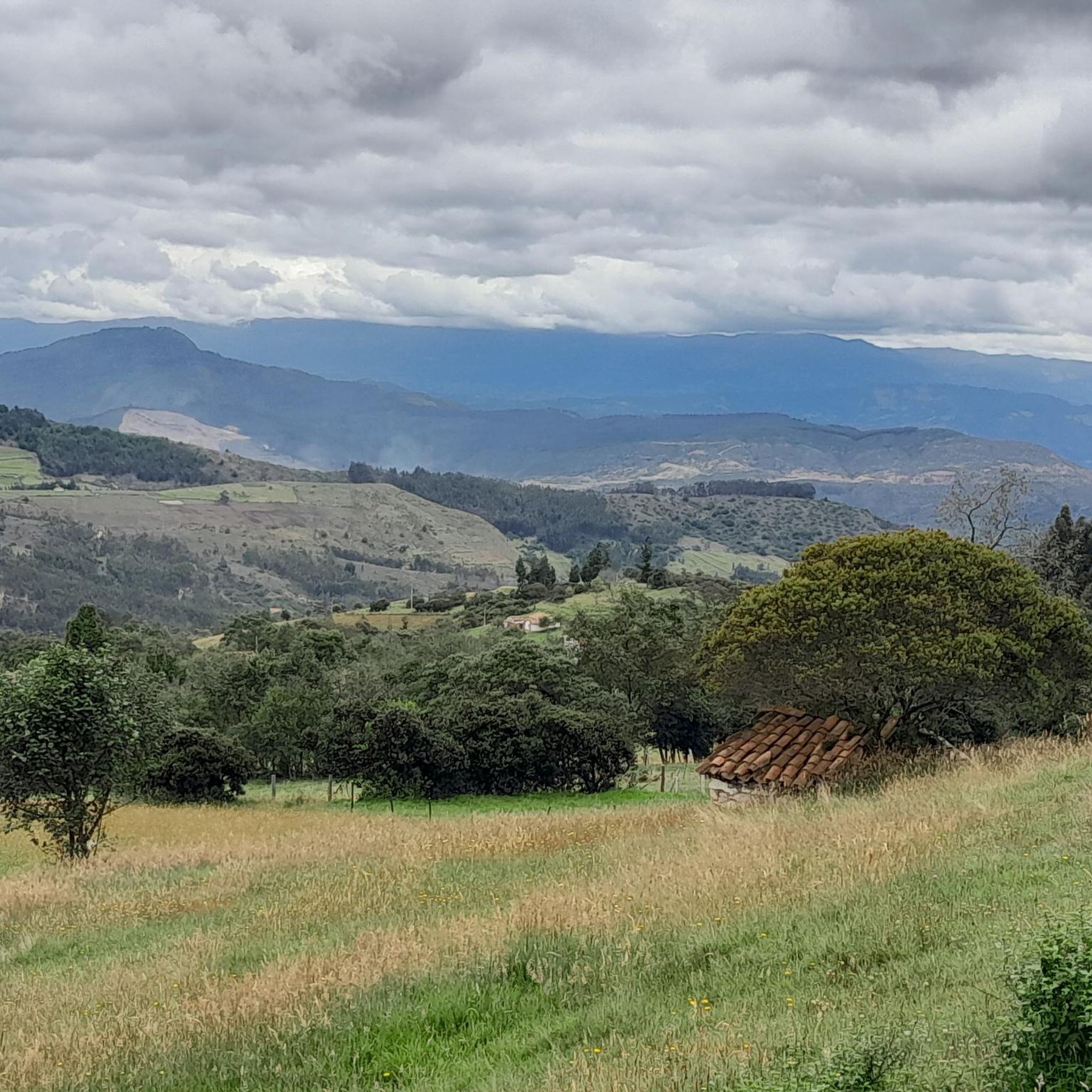
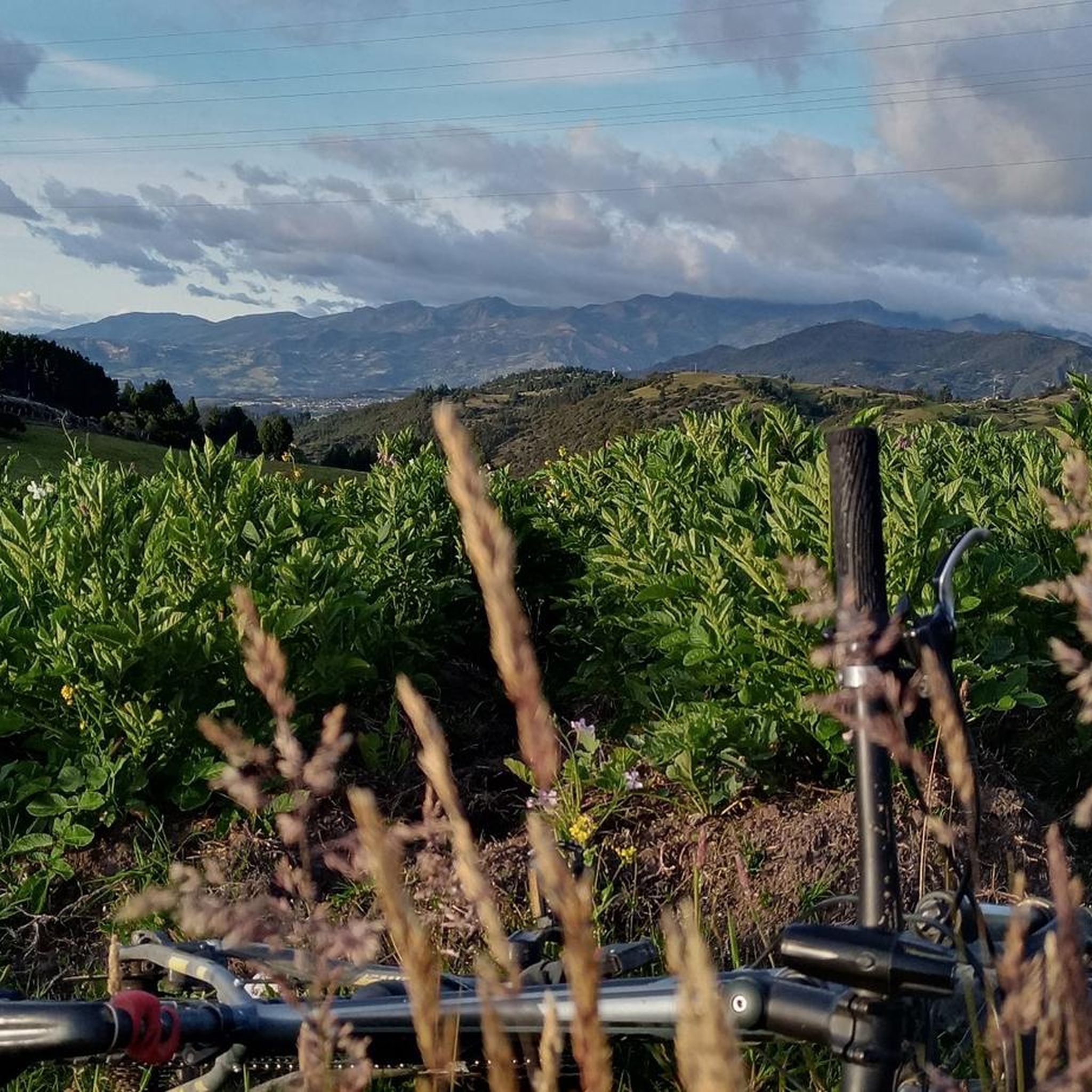
Mountain bike trails in Topagá are situated within the Eastern Andes mountain range, offering diverse topography and significant altitude variations. The region features a dramatic landscape of mountains and valleys, with elevations ranging from approximately 7,900 feet (2,400 meters) to 10,500 feet (3,200 meters). This varied terrain provides challenging and rewarding routes for mountain biking, characterized by continuous ascents and rapid descents. Riders can expect a mix of paved sections, unpaved roads, and single-track paths.
Best mountain bike trails in…
Last updated: July 1, 2026
5.0
(3)
21
riders
74.0km
05:20
960m
960m
Hard mountain bike ride. Very good fitness required. Suitable for all skill levels.
5.0
(1)
20
riders
Moderate mountain bike ride. Good fitness required. Suitable for all skill levels.

Sign up for free
5.0
(2)
10
riders
23.2km
01:46
500m
500m
Moderate mountain bike ride. Good fitness required. Suitable for all skill levels.
5.0
(1)
9
riders
17.5km
01:23
320m
320m
Moderate mountain bike ride. Good fitness required. Suitable for all skill levels.
7
riders
33.1km
02:59
860m
860m
Moderate mountain bike ride. Good fitness required. Suitable for all skill levels.
Get access to more routes and recommendations from other explorers.
Sign up for free
Already have an account?
Our route recommendations are based on thousands of hikes, rides, and runs completed by other people on komoot.
Start today with a free account
Your next adventure awaits.
Login or Signup
Popular around Topagá
Tips from the Community

Old house located next to the banks of the Monquirá River
0
0
View to "The Pyramid". Unpaved road in relatively good condition
0
0
El Laguito Park and Iwoka Shopping Center. Meeting point for rides.
0
0
Beautiful place. Wheat, barley and potato crop field.
0
0
Detour to Cúítiva - Llanos de Alarcón - Playa Blanca
0
0
Road detour. Excellently paved (As of July 2023)
0
0
Segment where there are some train tracks below the road.
0
0
Bakery and pastry shop at the entrance of Iza from Cúítiva
0
0
Frequently Asked Questions
How many mountain bike trails are available in Topagá?
Topagá offers a wide selection of mountain bike trails, with over 80 routes available for exploration. These trails cater to various skill levels, ranging from easy to difficult.
What are the different difficulty levels for mountain biking in Topagá?
Topagá's mountain bike trails feature a mix of easy, moderate, and difficult routes. You'll find 8 easy trails, 53 moderate trails, and 26 difficult trails, ensuring options for every rider's experience level.
Are there any family-friendly mountain bike trails in Topagá?
Yes, Topagá offers several family-friendly mountain bike trails. There are 8 easy routes that are suitable for families looking for a less strenuous ride. These trails often feature gentler terrain and shorter distances, allowing for an enjoyable experience for all ages.
What is the best time of year to go mountain biking in Topagá?
Topagá experiences a 'cold thermal floor' climate, which generally means cooler temperatures suitable for strenuous outdoor activities. The region's climate is mostly sunny, and some routes, like the Camino del Viento, can even be ridden in rainy conditions, suggesting year-round accessibility. However, for the most comfortable experience, consider the drier seasons.
Are there any circular mountain bike routes in Topagá?
Yes, many mountain bike routes in Topagá are designed as loops. For example, the La Ramada–Morcá Road – Altar of the Virgin of Morcá loop from Cementos Argos is a moderate 10.8-mile (17.4 km) circular path, and the Mountainbike loop from Chicamocha is a 14.4-mile (23.2 km) moderate loop.
What natural attractions or landmarks can I see while mountain biking in Topagá?
Topagá's diverse Andean topography offers stunning views of the Sugamuxi Valley. Along the trails, you might encounter natural features like Laguna Negra or the Valley of the Frailejones. Some routes, like the Piqueteadero La Horqueta – La Pirámide Waterfall loop from Chicamocha, even lead to waterfalls.
Are there any cultural or historical sites near the mountain bike trails?
While primarily focused on outdoor activities, Topagá also has cultural and historical attractions. The municipality boasts colonial architecture, including the Church of the Virgin of the O of Morcá, built in 1632. The town's main park, Parque 11 de Julio, commemorates a battle from the Colombian War of Independence.
What do other mountain bikers enjoy most about mountain biking in Topagá?
The mountain bike trails in Topagá are highly rated by the komoot community, with an average score of 4.9 stars from over 200 reviews. Riders often praise the dramatic Andean topography, significant elevation changes, and panoramic views of the Sugamuxi Valley, as well as the variety of routes available for different skill levels.
Are mountain bike trails in Topagá dog-friendly?
While many outdoor areas in Colombia are generally welcoming to dogs, specific regulations for mountain bike trails in Topagá regarding pets are not explicitly provided. It's always advisable to keep dogs on a leash and ensure they are well-behaved and can handle the terrain and duration of the ride. Check local signage or inquire locally for the most current information.
Are there any challenging routes for experienced mountain bikers?
Absolutely. Topagá offers 26 difficult mountain bike routes designed for experienced riders. These trails feature continuous ascents and rapid descents, often with technical sections. An example is the Panadería Mistral – Iza loop from Paradero las Marias, a challenging 46.0-mile (74.0 km) trail with significant elevation changes.
Can I find places to eat or rest near the trails?
Yes, you can find amenities in and around Topagá. For instance, Panadería Vad's Castro is listed as a cafe highlight, offering a place to refuel. The main town of Topagá and surrounding areas will have options for food and rest.
What kind of terrain can I expect on Topagá's mountain bike trails?
The trails in Topagá are characterized by diverse Andean topography. You can expect a mix of paved sections, unpaved roads, and flowing single-track. The region's significant altitude variations mean you'll encounter continuous ascents and rapid descents, providing a dynamic and engaging riding experience.
Most popular routes in Topagá
Most popular attractions in Topagá

Get inspired with the komoot mobile app


Explore more
Browse the best MTB trails in other regions.
