The best road cycling routes in Sutamarchán
4.9
(21)
780
riders
16
rides
Road cycling in Sutamarchán features a landscape characterized by significant elevation changes, including numerous hills and valleys. The region offers varied terrain, from challenging ascents to more moderate loops around natural features like lakes. Road cyclists can expect routes that traverse diverse elevations, providing both endurance tests and scenic rides.
Best road cycling routes in Sutamarchán
- The most popular road cycling route is Descent from Samacá to Sáchica – Alto de Sote loop from Villa de Leyva, an 85.5…
Last updated: July 2, 2026
164
riders
138km
07:30
2,770m
2,780m
Hard road ride. Very good fitness required. Some segments of this route may be unpaved and difficult to ride.
5.0
(3)
106
riders
44.5km
02:09
610m
610m
Moderate road ride. Good fitness required. Mostly well-paved surfaces and easy to ride.

Sign up for free
5.0
(5)
100
riders
79.8km
04:10
1,440m
1,440m
Hard road ride. Very good fitness required. Mostly well-paved surfaces and easy to ride.
75
riders
40.5km
01:59
560m
560m
Moderate road ride. Good fitness required. Mostly well-paved surfaces and easy to ride.
5.0
(2)
36
riders
55.2km
02:52
940m
940m
Hard road ride. Very good fitness required. Mostly well-paved surfaces and easy to ride.
Get access to more routes and recommendations from other explorers.
Sign up for free
Already have an account?
Our route recommendations are based on thousands of hikes, rides, and runs completed by other people on komoot.
Start today with a free account
Your next adventure awaits.
Login or Signup
Popular around Sutamarchán


Tips from the Community

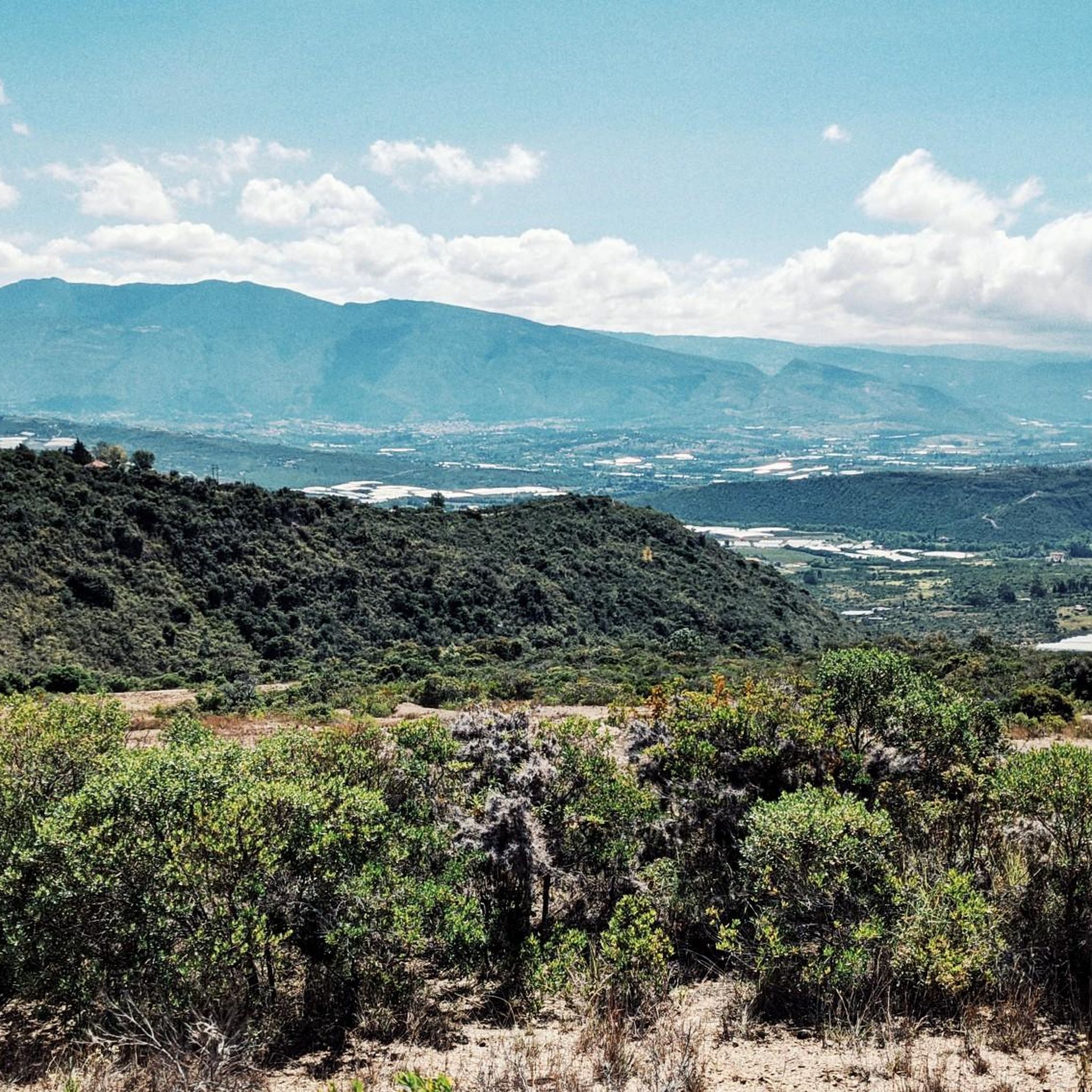
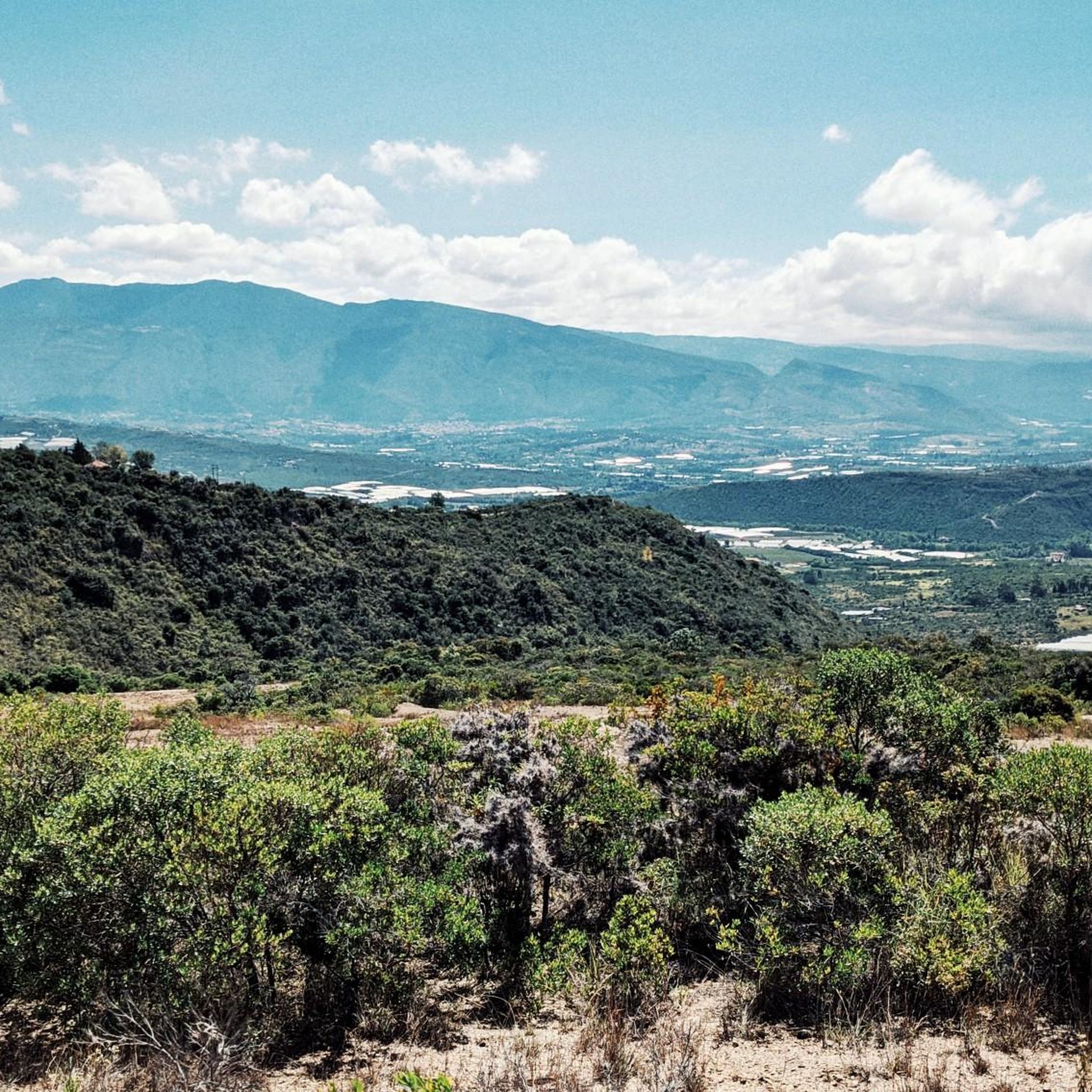
Good start, ideally choose a day with good weather and little truck traffic, because between the dual carriageway and Samacá, the road narrows. Nice landscapes, and a VERY pedalable slope.
0
0

This is where you can really see the changing tone of the mountains and its elevation drops to 2000 meters above sea level, it is the descent from the toll to Sachica, the municipality near Villa de Leyva, farmland, vineyards and clay for the manufacture of materials and clay pottery.
0
0

Frequently Asked Questions
How many road cycling routes are available in Sutamarchán?
Sutamarchán offers a selection of over 15 road cycling routes, catering to various skill levels. These include 1 easy route, 5 moderate routes, and 10 challenging routes, ensuring there's something for every road cyclist.
What are the typical distances and elevation gains for road cycling routes in Sutamarchán?
Road cycling routes in Sutamarchán vary significantly. You can find routes ranging from approximately 40 kilometers (25 miles) with around 550 meters (1,800 feet) of elevation gain, up to more demanding rides of over 130 kilometers (80 miles) featuring more than 2,700 meters (8,850 feet) of climbing.
Are there any easy or beginner-friendly road cycling routes in Sutamarchán?
While many routes in Sutamarchán feature significant elevation changes, there is at least one easy route available. For those looking for a slightly more challenging but still manageable ride, moderate routes like the Lago ramires loop from Sáchica offer a mix of rolling terrain and scenic views over 44.5 kilometers (27.7 miles).
What are some challenging road cycling routes for experienced riders in Sutamarchán?
Experienced road cyclists will find plenty of challenges. The Descent from Samacá to Sáchica – Alto de Sote loop from Villa de Leyva is a difficult 137.7-kilometer (85.5-mile) route with substantial climbs, including the Alto de Sote. Another demanding option is the Central Park loop from Villa de Leyva, covering 79.8 kilometers (49.6 miles) with significant elevation gain.
Are there any loop trails for road cycling in Sutamarchán?
Yes, Sutamarchán offers several excellent loop trails. Popular options include the Lago ramires loop from Sáchica, which circles Lago Ramires, and the Alto El Espino loop from Villa de Leyva, a moderate 40.1-kilometer (24.9-mile) ride.
What is the best time of year for road biking in Sutamarchán?
The region generally experiences a mild climate. The dry season, typically from December to March and July to August, offers more consistent weather conditions with less rainfall, making it ideal for road cycling. However, always check local forecasts before heading out.
What can I see along the road cycling routes in Sutamarchán?
Many routes offer scenic views and pass by interesting landmarks. You might encounter historical sites like the Plaza Mayor of Villa de Leyva or the charming town of Villa de Leyva itself. Some trails also lead to natural features like the Trail up to Las Cárcavas.
Are there any road cycling routes that connect Sutamarchán to Villa de Leyva?
Yes, several routes either start from or pass through Villa de Leyva, which is a significant hub in the region. For instance, the challenging La Cabrera Hill – Colina Arboledas loop from Villa de Leyva is a long ride that explores the area around Villa de Leyva.
What do other road cyclists enjoy most about road cycling in Sutamarchán?
The komoot community highly rates road cycling in Sutamarchán, with an average score of 4.9 stars from over 20 reviews. Cyclists often praise the region's varied terrain, which offers both endurance tests on challenging ascents and scenic rides through rolling hills and valleys.
Where are good starting points for road cycling routes in Sutamarchán?
Many popular routes start from or near significant towns in the area. Villa de Leyva is a common starting point, as seen with routes like the Alto El Espino loop from Villa de Leyva. Sáchica is another excellent option, offering access to routes such as the Lago ramires loop from Sáchica.
Are there any family-friendly road bike routes in Sutamarchán?
While many routes in Sutamarchán involve significant elevation changes, families looking for a more relaxed experience might consider the easier sections of the moderate routes or shorter loops. It's always best to check the specific route's profile for elevation and distance to ensure it suits all family members.
Most popular attractions in Sutamarchán

Get inspired with the komoot mobile app


Explore more
Browse the best Road cycling routes in other regions.
