The best road cycling routes in San Miguel De Sema
5.0
(6)
114
riders
7
rides
Road cycling routes in San Miguel de Sema are characterized by elevated terrain and significant climbs, typical of the Boyacá Department in Colombia. The region features mountainous and hilly landscapes, with an average altitude around 2,615 meters (8,579 ft). Cyclists can expect rural roads winding through agricultural areas, offering varied routes and challenging ascents.
Best road cycling routes in San Miguel de Sema
- The most popular road cycling route is La Cabrera Hill loop from Estacion Chiquinquira, a difficult…
Last updated: July 4, 2026
5.0
(1)
52
riders
97.8km
04:37
1,230m
1,230m
Hard road ride. Very good fitness required. Mostly well-paved surfaces and easy to ride.
5.0
(4)
23
riders
29.8km
01:30
470m
470m
Moderate road ride. Good fitness required. Mostly well-paved surfaces and easy to ride.

Sign up for free
15
riders
35.0km
01:26
120m
120m
Easy road ride. Great for any fitness level. Mostly well-paved surfaces and easy to ride.
10
riders
40.2km
01:47
400m
400m
Moderate road ride. Good fitness required. Mostly well-paved surfaces and easy to ride.
5
riders
Moderate road ride. Good fitness required. Some segments of this route may be unpaved and difficult to ride.
Get access to more routes and recommendations from other explorers.
Sign up for free
Already have an account?
Our route recommendations are based on thousands of hikes, rides, and runs completed by other people on komoot.
Start today with a free account
Your next adventure awaits.
Login or Signup
Popular around San Miguel De Sema
Tips from the Community

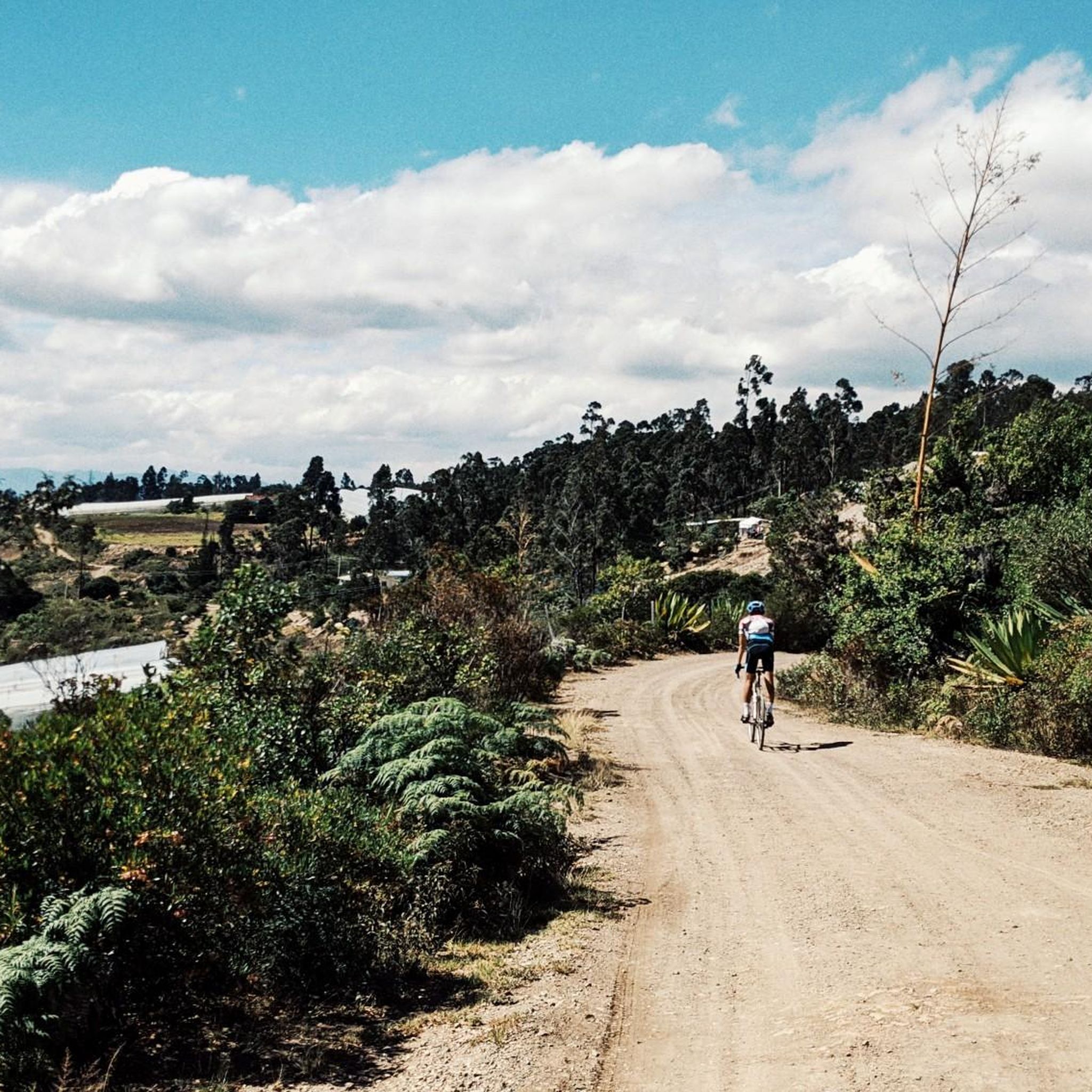
It is safe, there is little traffic, you can go by road bike or mountain bike, the top of the mountain is at 2,876 meters / sea level
0
0

High viewpoint of Boca de Monte. High that communicates several municipalities; Pauna, Muzo, Coper, Maripi, Briceño, SanPablo de Borbur or Buenavista.... There is a port outside the category that starts at the Minero River (Borbur) and goes up 48km (passing through Pauna) almost all pavement and some trail areas.
0
0
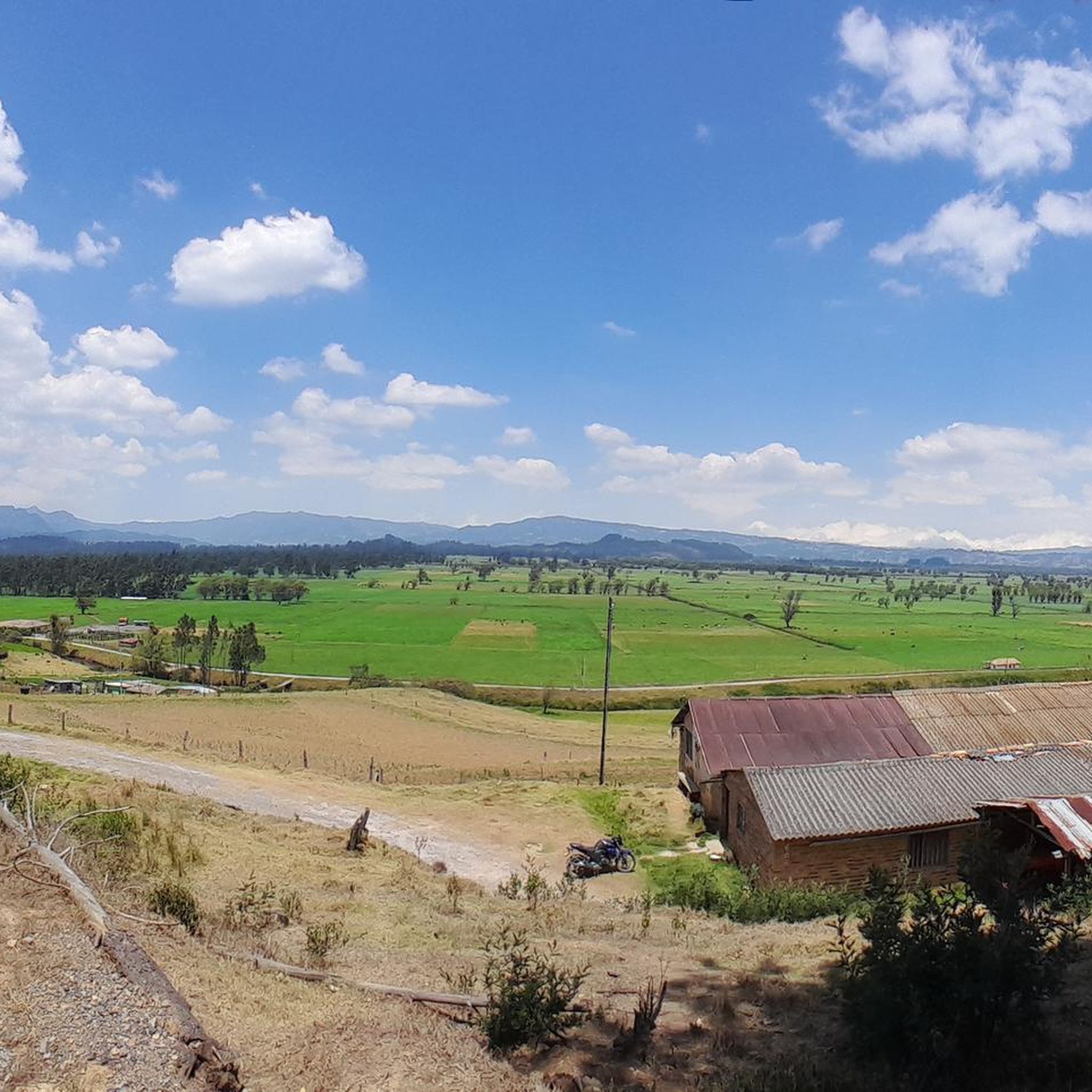
Mirador de la laguna de fuquene, shops. On the road. avoid night traffic
0
0
Heavy traffic highway, one lane and no shoulder. watch out
0
0

great climb towards Chiquinquirá. continuous slope. another option not to do the classic to Raquira from Villa de Leyva
0
0
Municipality of Fúquene, 7 km from the main highway 45A, characterized by work the "junco" that is produced in the lagoon and is the raw material of its crafts.
0
0
Going up Capellania 4kms, a few km later is the municipality of Fúquene, in the background, passing the mountain you can reach Susa or Carupa
0
0
Frequently Asked Questions
How many road cycling routes are available in San Miguel de Sema?
San Miguel de Sema offers 7 distinct road cycling routes, catering to various skill levels. You'll find 1 easy route, 4 moderate routes, and 2 difficult routes to explore.
What kind of terrain and landscapes can I expect while road cycling in San Miguel de Sema?
Road cycling in San Miguel de Sema features diverse landscapes, including mountainous and hilly terrain with significant elevation changes. Routes often wind through agricultural areas, open fields, and forested sections, providing a visually engaging experience. The region's average altitude is around 2,615 meters (8,579 ft), ensuring challenging climbs and scenic views.
Are there any easy road cycling routes suitable for beginners or families?
Yes, there is an easy route perfect for those seeking a less strenuous ride. The View of Laguna de Fúquene loop from Río Fuquene is 25.1 miles (40.4 km) long and offers beautiful views of Laguna de Fúquene, often completed in about 1 hour 43 minutes. This route is ideal for a relaxed cycling experience.
What are some challenging road cycling routes for experienced riders?
For experienced cyclists looking for a challenge, San Miguel de Sema offers several difficult routes. The La Cabrera Hill loop from Estacion Chiquinquira is a demanding 60.8 miles (97.8 km) trail with substantial elevation gain, taking approximately 4 hours 37 minutes. Another difficult option is the Maripí–Buenavista Junction – Climb to Pauna loop from Estacion Chiquinquira, which covers 50.9 miles (81.9 km) and features over 2,200 meters of ascent.
What attractions or viewpoints can I see along the road cycling routes?
Many routes offer stunning natural views and pass by interesting points. You can enjoy views of Laguna de Fúquene, particularly on the View of Laguna de Fúquene loop from Río Fuquene. The Alto de Boca de Monte Viewpoint loop from Estacion Chiquinquira provides scenic vistas from the Alto de Boca de Monte. Additionally, areas like Capellanía are known for their beautiful mountains and scenic landscapes.
Are there any circular road cycling routes available?
Yes, most of the road cycling routes in San Miguel de Sema are designed as loops, allowing you to start and finish at the same point. Examples include the La Cabrera Hill loop from Estacion Chiquinquira and the Roadbike loop from Estacion Chiquinquira, which is a moderate 24.9 miles (40.2 km) ride.
What do other road cyclists say about the routes in San Miguel de Sema?
The road cycling routes in San Miguel de Sema are highly rated by the komoot community, with an average score of 5.0 stars from 6 reviews. Cyclists often praise the challenging climbs, diverse landscapes, and the opportunity to experience the elevated rural roads typical of the Boyacá Department.
Is San Miguel de Sema easily accessible for road cycling trips?
San Miguel de Sema is conveniently located approximately 2 hours and 30 minutes from Bogotá, making it an accessible destination for a cycling escape from the city. Many routes start from locations like Estacion Chiquinquira, which are common access points for the region.
What is the best time of year to go road cycling in San Miguel de Sema?
Given the region's elevated terrain and varied weather patterns, it's generally best to check local forecasts before planning your trip. The dry seasons typically offer more stable conditions for road cycling, but the diverse landscapes can be enjoyed year-round with appropriate gear.
Are there specific areas within San Miguel de Sema known for good road cycling?
The Capellanía area is highlighted as a prime location for nature enthusiasts and cyclists, offering extensive routes and beautiful mountain scenery. Many routes also start from Estacion Chiquinquira, providing access to a variety of terrains.
Most popular routes in San Miguel De Sema
Most popular attractions in San Miguel De Sema

Get inspired with the komoot mobile app


Explore more
Browse the best Road cycling routes in other regions.
