The best road cycling routes in San José De Pare
4.9
(62)
443
riders
4
rides
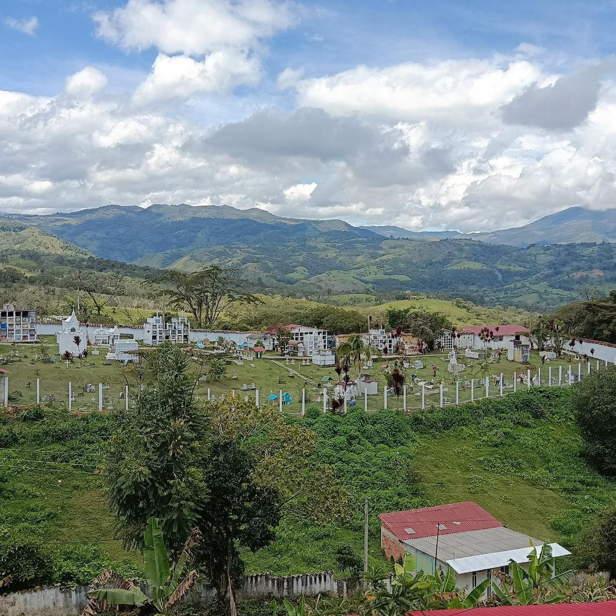
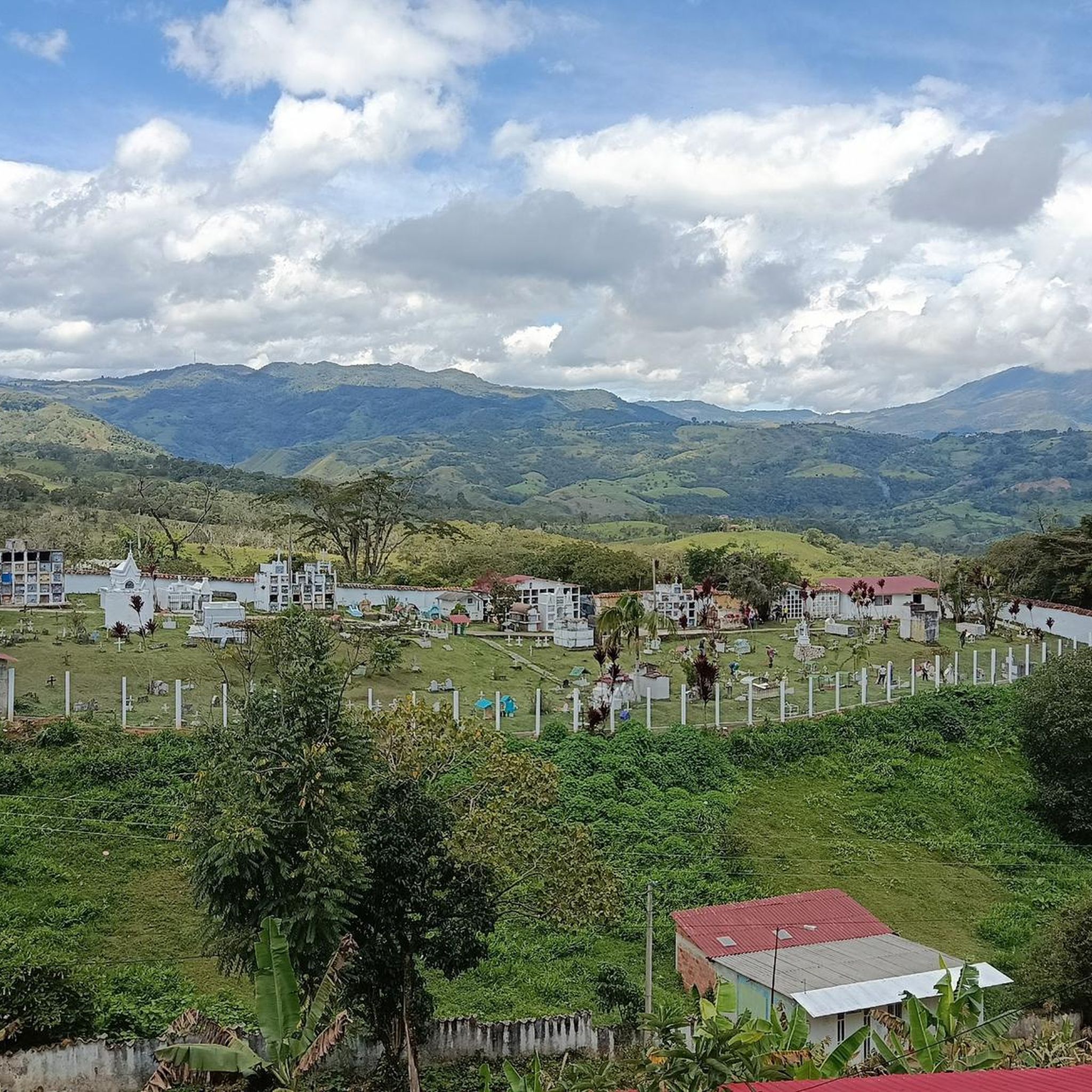
Road cycling routes in San José De Pare are situated within the Eastern Cordillera of the Andes, offering a diverse and challenging terrain. The region features mountainous landscapes and valleys with elevations ranging significantly, providing panoramic views. Its topography is characterized by significant elevation gains, making it suitable for road cyclists seeking demanding climbs. The area is known for its fertile, forested soils and abundant water resources, contributing to a lush natural environment.
Best road cycling routes in San José…
Last updated: July 1, 2026
161
riders
Hard road ride. Very good fitness required. Some segments of this route may be unpaved and difficult to ride.
75
riders
126km
06:32
2,110m
2,110m
Hard road ride. Very good fitness required. Mostly well-paved surfaces and easy to ride.

Sign up for free
5.0
(5)
80
riders
80.1km
04:09
1,390m
1,390m
Hard road ride. Very good fitness required. Mostly well-paved surfaces and easy to ride.
35
riders
127km
07:04
2,550m
2,550m
Hard road ride. Very good fitness required. Some segments of this route may be unpaved and difficult to ride.
5.0
(1)
20
riders
114km
06:02
2,170m
2,170m
Hard road ride. Very good fitness required. Mostly well-paved surfaces and easy to ride.
Our route recommendations are based on thousands of hikes, rides, and runs completed by other people on komoot.
Start today with a free account
Your next adventure awaits.
Login or Signup
Popular around San José De Pare
Tips from the Community

Good start, ideally choose a day with good weather and little truck traffic, because between the dual carriageway and Samacá, the road narrows. Nice landscapes, and a VERY pedalable slope.
0
0

This is where you can really see the changing tone of the mountains and its elevation drops to 2000 meters above sea level, it is the descent from the toll to Sachica, the municipality near Villa de Leyva, farmland, vineyards and clay for the manufacture of materials and clay pottery.
0
0


great climb towards Chiquinquirá. continuous slope. another option not to do the classic to Raquira from Villa de Leyva
0
0
Frequently Asked Questions
What kind of terrain can I expect on road cycling routes in San José De Pare?
Road cycling routes in San José De Pare are characterized by mountainous landscapes and deep valleys within the Eastern Cordillera of the Andes. You can expect significant elevation gains, with elevations ranging from 1,200 to 2,400 meters (3,900 to 7,900 ft), providing challenging climbs and panoramic views. The region is known for its diverse and demanding terrain, making it ideal for experienced road cyclists.
Are there challenging climbs for advanced road cyclists in San José De Pare?
Yes, San José De Pare is situated in Boyacá, often called the 'birthplace of Colombian cycling,' and is renowned for its challenging climbs. All routes listed on komoot are categorized as difficult, featuring substantial elevation gains that will test your legs. For example, the Descent from Samacá to Sáchica – Alto de Sote loop from Antigua Estación de Tren de Barbosa includes over 3,000 meters of elevation gain over 154 kilometers.
What are the typical distances and durations for road cycling routes in this region?
The road cycling routes in San José De Pare vary in length and duration, catering to demanding rides. For instance, the Colina Arboledas – La Cabrera Hill loop from Antigua Estación de Tren de Barbosa spans about 130 kilometers and typically takes over 6 hours to complete. Shorter, yet still challenging, options like the Central Park loop from Moniquirá cover around 80 kilometers and can be completed in about 4 hours.
What natural attractions or landmarks can I see near the road cycling routes?
Beyond the stunning mountain views, the region offers several natural attractions. You might encounter the Suárez River, which forms part of the municipality's border. For a break, consider visiting El Gran Manantial, a natural tourist center with swimming pools and ecological trails, or explore the Cueva del Indio, a rock formation featuring pre-Columbian rock art. The area is rich in natural features like waterfalls, pools, and lush vegetation.
What do other road cyclists say about the routes in San José De Pare?
The road cycling routes in San José De Pare are highly regarded by the komoot community, holding an average rating of 4.9 stars from over 60 reviews. Cyclists frequently praise the challenging climbs, the breathtaking Andean landscapes, and the overall demanding yet rewarding experience of riding in this region.
Are there any circular road cycling routes available?
Yes, many of the road cycling routes in San José De Pare are designed as loops, allowing you to start and finish at the same point. Examples include the Descent from Samacá to Sáchica – Alto de Sote loop from Antigua Estación de Tren de Barbosa and the Nairo Quintana Monument – Central Park loop from Cite, both offering extensive circular journeys through the region's varied terrain.
What is the best time of year for road cycling in San José De Pare?
San José De Pare generally offers a temperate and pleasant climate year-round due to its location in the Eastern Cordillera of the Andes. This makes it suitable for road cycling throughout most of the year. However, it's always advisable to check local weather forecasts before heading out, especially considering the significant elevation changes that can influence conditions.
Are there any routes that pass by significant cycling landmarks?
Yes, the region celebrates its cycling heritage. For instance, the Nairo Quintana Monument – Central Park loop from Cite is a route that includes a significant landmark dedicated to one of Colombia's most famous cyclists, Nairo Quintana, offering a nod to the area's rich cycling culture.
Are the road cycling routes in San José De Pare suitable for families or beginners?
The road cycling routes in San José De Pare are primarily categorized as difficult, featuring significant elevation gains and long distances. They are best suited for experienced road cyclists with very good fitness levels. There are currently no routes listed on komoot in this area that are specifically designated as easy or family-friendly for road biking.
What kind of surfaces can I expect on the road cycling routes?
The road cycling routes in San José De Pare generally feature mostly paved surfaces, which are suitable for road bikes. However, given the mountainous terrain, some sections may have varying road quality, so it's always good to be prepared for diverse conditions.
Where do the road cycling routes typically start from?
Many routes in the area start from towns or points that offer access to the main roads. For example, several challenging loops begin from Antigua Estación de Tren de Barbosa or Moniquirá, providing convenient starting points for exploring the region's extensive road network.
How does the elevation in San José De Pare impact road cycling?
The significant elevation range, from 1,200 to 2,400 meters, means that road cycling in San José De Pare involves substantial climbing. These elevation gains are a defining characteristic of the region's routes, offering demanding ascents and rewarding descents with impressive panoramic views across the Andean landscapes. Cyclists should be prepared for sustained efforts on climbs.
Most popular routes in San José De Pare

Get inspired with the komoot mobile app


Explore more
Browse the best Road cycling routes in other regions.
