The best road cycling routes in Samacá
4.9
(22)
856
riders
5
rides
Road cycling in Samacá features routes characterized by significant elevation changes, connecting various towns and landmarks. The region offers a mix of challenging climbs and descents, with routes traversing diverse landscapes. Road cyclists can expect varied terrain, from loops around local points of interest to longer journeys between communities. The area's topography provides opportunities for sustained efforts and scenic views.
Best road cycling routes in Samacá
- The most popular road cycling route is Descent from Samacá to Sáchica – Alto…
Last updated: July 1, 2026
164
riders
138km
07:30
2,770m
2,780m
Hard road ride. Very good fitness required. Some segments of this route may be unpaved and difficult to ride.
5.0
(3)
106
riders
44.5km
02:09
610m
610m
Moderate road ride. Good fitness required. Mostly well-paved surfaces and easy to ride.

Sign up for free
5.0
(5)
100
riders
79.8km
04:10
1,440m
1,440m
Hard road ride. Very good fitness required. Mostly well-paved surfaces and easy to ride.
5.0
(3)
81
riders
72.2km
03:53
1,320m
1,320m
Hard road ride. Very good fitness required. Some segments of this route may be unpaved and difficult to ride.
75
riders
40.5km
01:59
560m
560m
Moderate road ride. Good fitness required. Mostly well-paved surfaces and easy to ride.
Our route recommendations are based on thousands of hikes, rides, and runs completed by other people on komoot.
Start today with a free account
Your next adventure awaits.
Login or Signup
Popular around Samacá


Tips from the Community

A place of passage, the store and the restaurant seem a bit expensive to me. Just for reference point, 5 photos and on.
0
0
Be careful with the trucks, because the road from the dual carriageway is narrow and in fair condition. Beautiful landscapes
0
0
Good start, ideally choose a day with good weather and little truck traffic, because between the dual carriageway and Samacá, the road narrows. Nice landscapes, and a VERY pedalable slope.
0
0

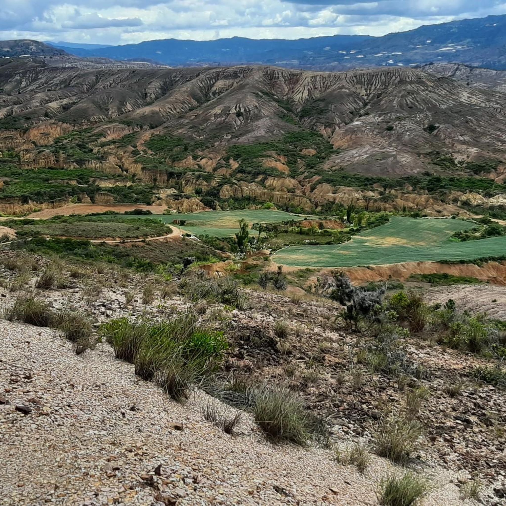
This is where you can really see the changing tone of the mountains and its elevation drops to 2000 meters above sea level, it is the descent from the toll to Sachica, the municipality near Villa de Leyva, farmland, vineyards and clay for the manufacture of materials and clay pottery.
0
0
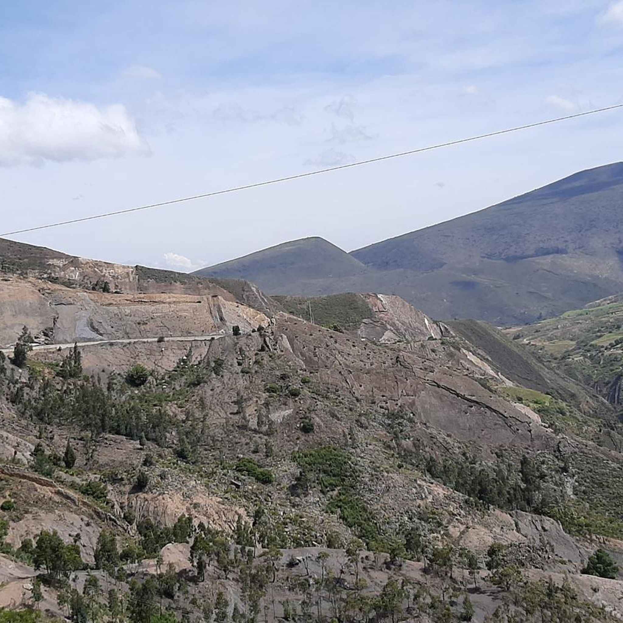
crossing from pte de Boyacá to Samacá, a different tone within the landscape is easy to see, the mountains and the proximity to Villa de Leyva begin to be noticed, yellow and reddish tones, sandstone and cliffs..
0
0
Emblematic tourist site where one of the battles of Simón Bolívar was fought. You have to go down and visit it, free to the public.
0
0
Good ascent, very comfortable, on the trip to Villa de Leyva. Be careful on the descent towards Sámaca, sometimes with dense fog, always wear good front and rear lights.
0
0

Frequently Asked Questions
What is the general difficulty level for road cycling in Samacá?
Road cycling in Samacá is characterized by significant elevation changes, offering a mix of challenging climbs and descents. The region provides options for various ability levels, including easy, moderate, and difficult routes. You'll find 1 easy route, 2 moderate routes, and 2 difficult routes available.
Are there any road cycling routes suitable for beginners in Samacá?
Yes, Samacá offers at least one easy road cycling route. While the region is known for its elevation changes, there are options designed to be more accessible for those new to road cycling or looking for a less strenuous ride.
What kind of distances can I expect on road cycling routes in Samacá?
Routes in Samacá vary in length, from shorter loops to longer journeys connecting multiple towns. For example, the Descent from Samacá to Sáchica – Alto de Sote loop from Villa de Leyva is a substantial 85.5 miles (137.7 km), while the Alto El Espino loop from Villa de Leyva is a more manageable 24.9 miles (40.2 km).
Are there any loop road cycling routes in Samacá?
Yes, many of the road cycling routes in Samacá are designed as loops, allowing you to start and finish in the same location. Examples include the Lago ramires loop from Sáchica and the Central Park loop from Villa de Leyva.
What can I see along the road cycling routes in Samacá?
Road cycling routes in Samacá often traverse diverse landscapes and connect various towns and landmarks. You might pass by historical sites like the Plaza Mayor of Villa de Leyva or explore the charming town of Villa de Leyva itself. Some routes, like the Puente de Boyacá – Tunja Velodrome loop from Tierranegra, even lead through significant historical landmarks.
What do other road cyclists enjoy most about road cycling in Samacá?
The road cycling experience in Samacá is highly rated by the komoot community, with an average score of 4.9 stars from over 20 reviews. Cyclists often praise the varied terrain, challenging climbs, and the comprehensive experience of the region's diverse landscapes and historical sites.
Are there any particularly scenic road cycling routes in Samacá?
The region's topography provides opportunities for scenic views throughout many routes. While specific viewpoints aren't detailed, the routes traversing diverse landscapes and connecting towns offer picturesque backdrops. The Descent from Samacá to Sáchica – Alto de Sote loop from Villa de Leyva, for instance, offers a comprehensive experience of the region's varied terrain, implying numerous scenic sections.
Are there any road cycling routes that pass through historical sites?
Yes, several routes in Samacá incorporate historical landmarks. The Puente de Boyacá – Tunja Velodrome loop from Tierranegra is a prime example, leading through significant historical sites and cycling infrastructure, including the Plaza Mayor of Villa de Leyva.
What is the longest road cycling route available in Samacá?
The longest road cycling route currently available is the Descent from Samacá to Sáchica – Alto de Sote loop from Villa de Leyva, which covers 85.5 miles (137.7 km) and typically takes around 7 hours and 30 minutes to complete.
How many road cycling routes are there in Samacá?
There are 5 road cycling routes detailed for Samacá, offering a range of difficulties and distances to explore the region's diverse terrain.
What kind of elevation gain can I expect on Samacá's road cycling routes?
Road cycling in Samacá is known for significant elevation changes. Routes like the Descent from Samacá to Sáchica – Alto de Sote loop from Villa de Leyva feature substantial elevation gains of over 2,700 meters, providing challenging climbs for experienced cyclists.
Most popular attractions in Samacá

Get inspired with the komoot mobile app


Explore more
Browse the best Road cycling routes in other regions.
