The best road cycling routes in Ramiriquí
5.0
(3)
340
riders
4
rides
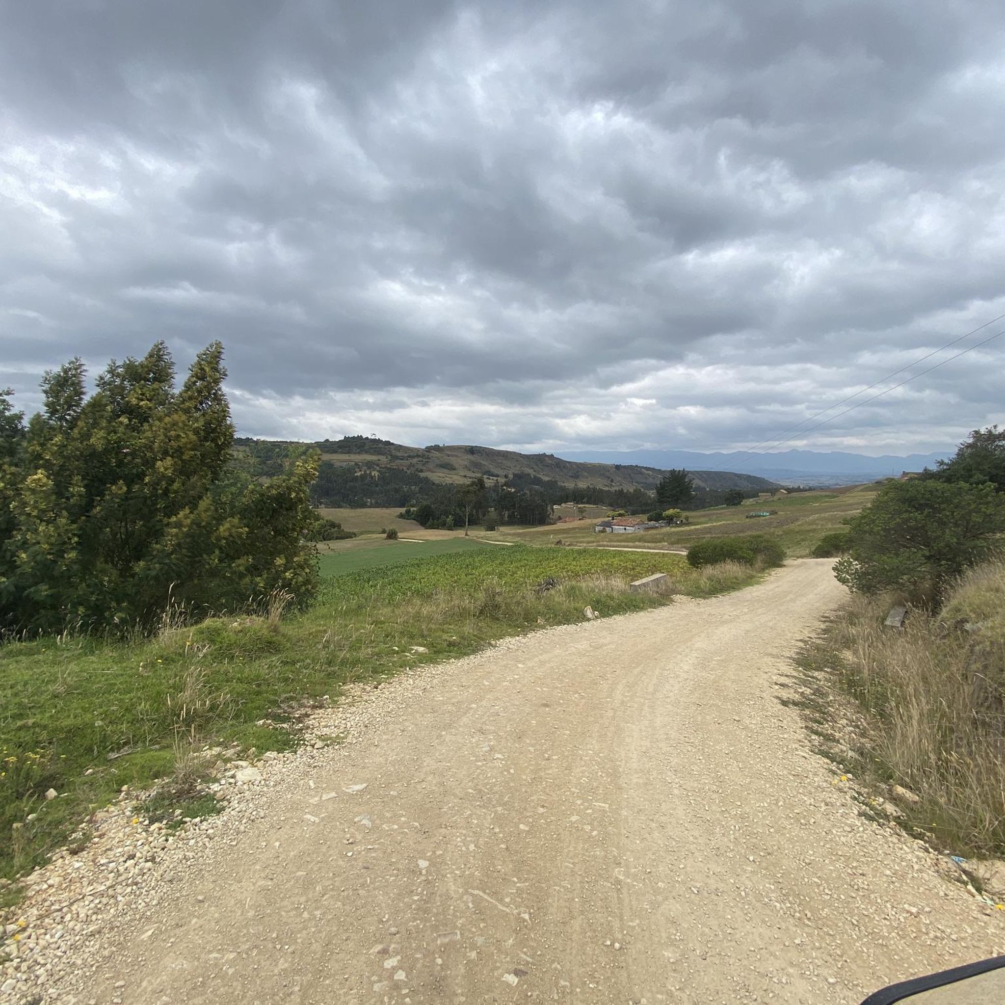
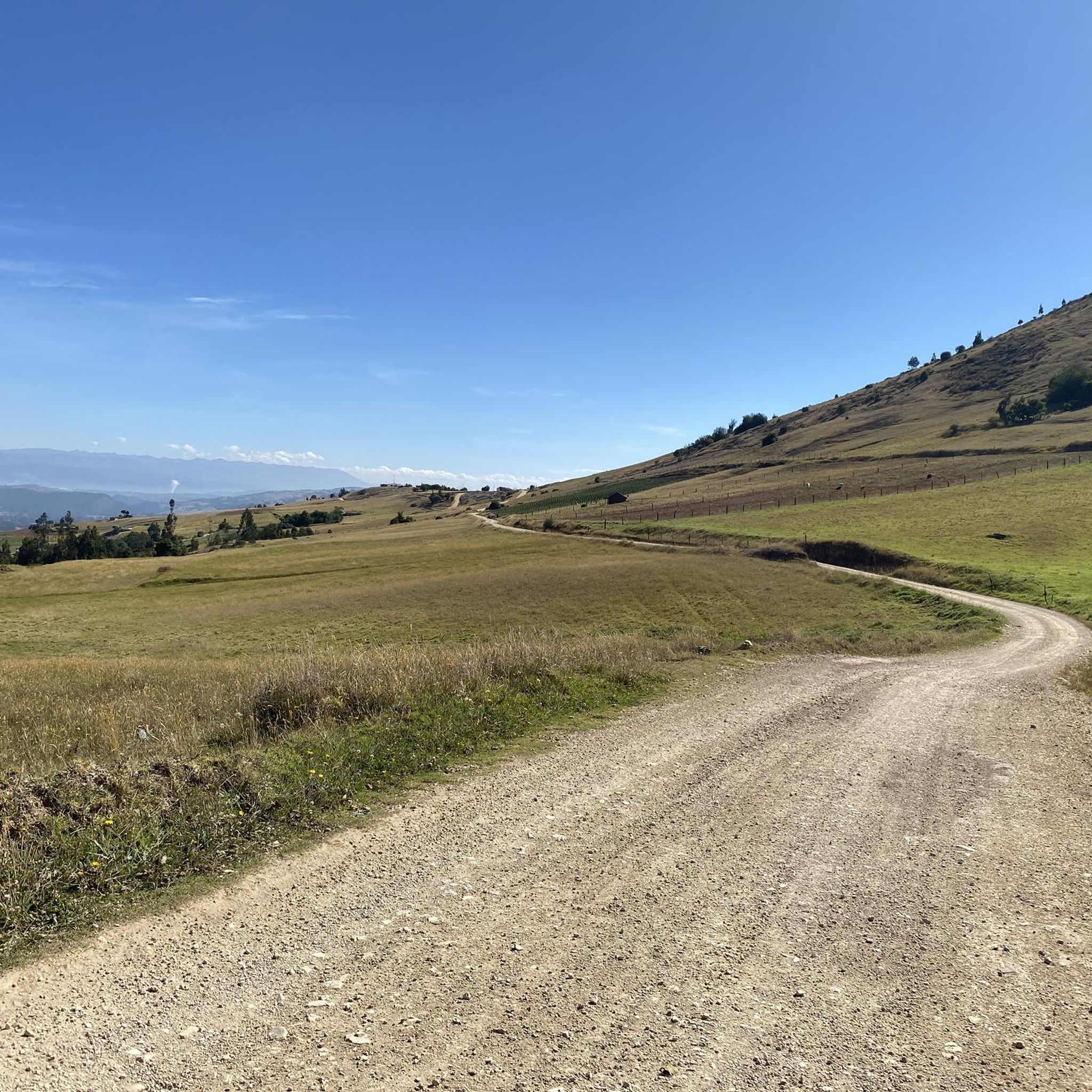
Road cycling routes in Ramiriquí navigate the Eastern Ranges of the Colombian Andes, offering varied terrain for cyclists. The region is characterized by rolling hills and fertile valleys, providing diverse cycling experiences with both ascents and descents. Located on the Altiplano Cundiboyacense, routes often feature mostly paved surfaces and significant elevation gains. This high plateau environment presents challenging terrain and scenic landscapes for road cyclists.
Best road cycling routes in Ramiriquí
- The most popular road cycling route is Alto de…
Last updated: July 1, 2026
73
riders
126km
06:56
2,540m
2,540m
Hard road ride. Very good fitness required. Some segments of this route may be unpaved and difficult to ride.
5.0
(1)
56
riders
71.6km
04:51
1,810m
1,800m
Hard road ride. Very good fitness required. Mostly well-paved surfaces and easy to ride.

Sign up for free
26
riders
42.1km
02:14
720m
720m
Moderate road ride. Good fitness required. Some segments of this route may be unpaved and difficult to ride.
16
riders
96.8km
05:46
1,930m
1,930m
Hard road ride. Very good fitness required. Mostly well-paved surfaces and easy to ride.
8
riders
22.1km
01:36
410m
410m
Moderate road ride. Good fitness required. Some segments of this route may be unpaved and difficult to ride.
Our route recommendations are based on thousands of hikes, rides, and runs completed by other people on komoot.
Start today with a free account
Your next adventure awaits.
Login or Signup
Popular around Ramiriquí
Tips from the Community

A place of passage, the store and the restaurant seem a bit expensive to me. Just for reference point, 5 photos and on.
0
0


Emblematic tourist site where one of the battles of Simón Bolívar was fought. You have to go down and visit it, free to the public.
0
0


How can you enter the velodrome?
0
0

Frequently Asked Questions
What kind of terrain can I expect on road cycling routes in Ramiriquí?
Ramiriquí, nestled in the Eastern Ranges of the Colombian Andes, offers varied terrain for road cyclists. You'll encounter rolling hills, fertile valleys, and significant ascents and descents. While routes are mostly paved, some segments might be unpaved and more challenging, all set against breathtaking mountain vistas and agricultural landscapes.
Are there challenging road cycling routes in Ramiriquí for experienced cyclists?
Yes, Ramiriquí is known for its challenging routes. Out of the available routes, three are classified as difficult, featuring substantial elevation gains. For example, the Alto de Sote – Central Park loop from Tunja is a demanding 78.6-mile route with over 2,500 meters of elevation gain.
Are there any moderate road cycling options in Ramiriquí?
Yes, there are moderate options available. The El Pino – Puerto 1 loop from Tunja is a moderate 26.1-mile trail that leads through fertile valleys and rolling hills, typically completed in about 2 hours and 14 minutes. Another moderate option is the Alto Redondo loop from Vereda Faravita, covering 13.7 miles.
What are some notable landmarks or natural features I might see along the cycling routes?
As you cycle through Ramiriquí, you'll be immersed in stunning Andean scenery, passing through lush, green agricultural lands known for potatoes and corn. The region also holds historical significance from the Muisca people. While specific route details vary, you might encounter cultural landmarks like the Church of San Juan Bautista or the Cascada de la Virgen (Virgin's Waterfall) in the broader area.
What is the best time of year to go road cycling in Ramiriquí?
Ramiriquí enjoys a temperate climate with cool evenings and pleasant daytime temperatures year-round. However, rain is common, especially during wet seasons. For the most comfortable cycling experience, consider visiting during drier periods, though the lush landscapes are beautiful even with occasional showers.
How many road cycling routes are available in Ramiriquí?
There are several road cycling routes available in Ramiriquí. Currently, komoot features 5 distinct road cycling routes in the area, offering a range of difficulties from moderate to difficult.
What do other road cyclists enjoy most about road cycling in Ramiriquí?
The komoot community highly rates road cycling in Ramiriquí, with an average score of 5.0 stars from over 3 reviews. Cyclists often praise the challenging terrain, the stunning Andean landscapes, and the diverse experiences offered by the rolling hills and fertile valleys.
Are there any long-distance road cycling routes in the Ramiriquí area?
Yes, for those seeking longer rides, the Alto de Sote – Central Park loop from Tunja is a significant route, stretching 78.6 miles (126.4 km) and typically taking around 7 hours to complete. Another substantial option is the El Barne Roundabout – Tunja Velodrome loop from Ramiriquí, which is 60.5 miles (97.4 km) long.
Can I find routes that offer expansive views of the region?
Absolutely. Many routes in Ramiriquí traverse the Altiplano Cundiboyacense, a high plateau in the Colombian Andes, providing breathtaking mountain vistas. The Tunja Velodrome – Puente de Boyacá loop from Casco Urbano Ramiriqui, for instance, includes significant climbs and descents, passing through agricultural lands and offering expansive views of the surrounding area.
Are the road cycling routes in Ramiriquí typically loop trails?
Yes, many of the road cycling routes in Ramiriquí are designed as loops, allowing you to start and end your ride in the same location. Examples include the Alto de Sote – Central Park loop from Tunja and the El Pino – Puerto 1 loop from Tunja.
What is the average elevation gain on road cycling routes in Ramiriquí?
Road cycling in Ramiriquí is characterized by significant elevation gains due to its Andean location. For example, the difficult routes can feature over 1,800 meters of ascent, with the Alto de Sote – Central Park loop from Tunja having over 2,500 meters of elevation gain.
Most popular routes in Ramiriquí

Get inspired with the komoot mobile app


Explore more
Browse the best Road cycling routes in other regions.
