The best road cycling routes in Paipa
4.6
(157)
1,673
riders
31
rides
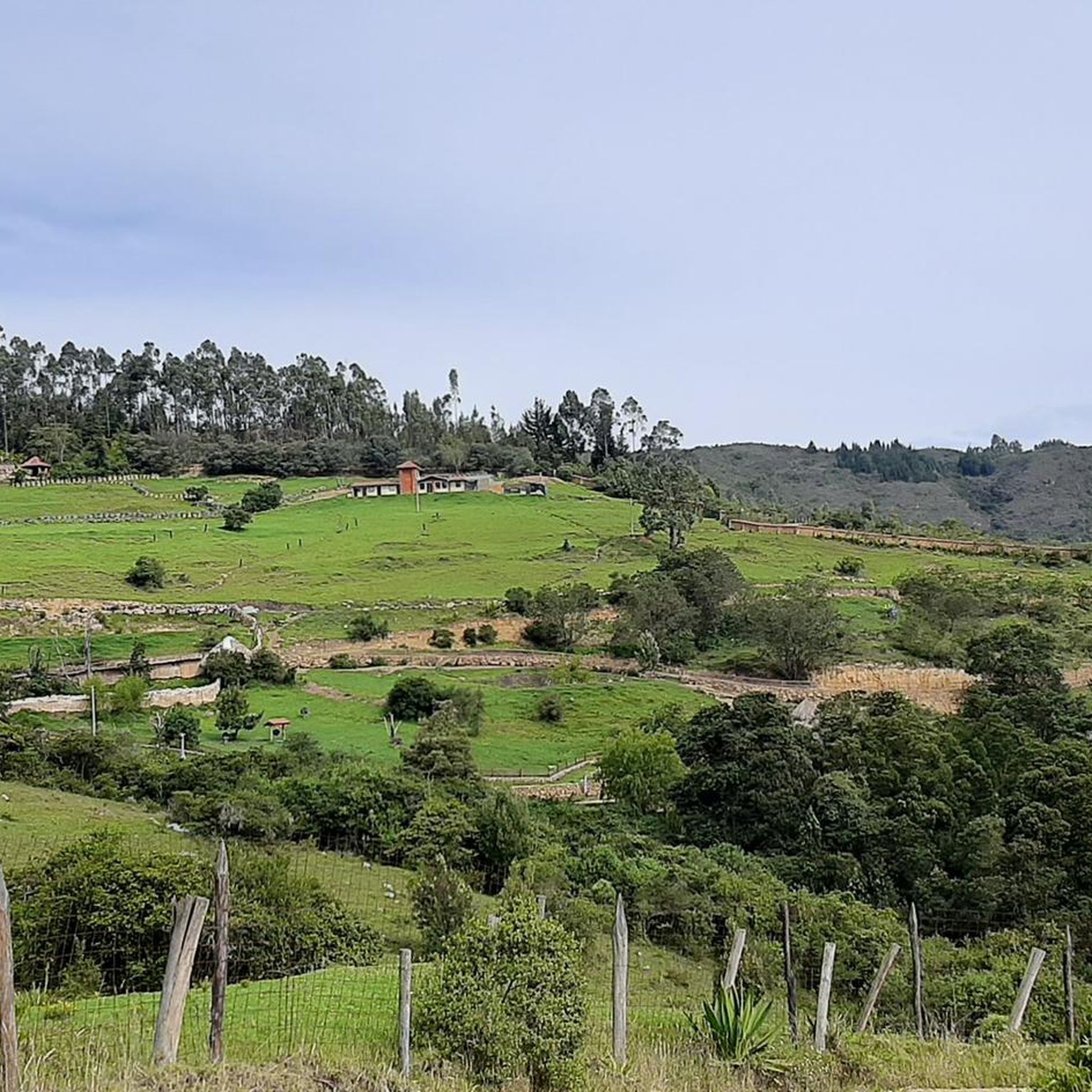
Road cycling in Paipa, located in Boyacá, Colombia, offers diverse landscapes characterized by towering mountains and lush greenery. The region features significant elevation gains, with routes often including challenging climbs. Cyclists can expect a mix of well-paved roads and some unpaved segments, providing varied terrain for exploration. This mountainous environment provides a rewarding experience for road cyclists.
Best road cycling routes in Paipa
- The most popular road cycling route is Gámeza Canyon Climb – Alto de Tobasía loop from Paipa, a 67.3 miles (108.3 km) trail that takes 5 hours 17 minutes to complete. This difficult route features substantial elevation gain through mountainous terrain.
- Another top favourite among local road cyclists is Garden View in Colombia – Alto del Portachuelo loop from Paipa, a moderate 39.9 miles (64.2 km) path. This route offers views of the region's lush greenery and mountainous backdrop.
- Local road cyclists also love the Lake Tota – La Cascajera Pass loop from Paipa, a 78.1 miles (125.7 km) trail leading through the scenic area around Lake Tota, often completed in about 8 hours 36 minutes.
- Road cycling in Paipa is defined by mountainous terrain, lush greenery, and significant elevation changes. The network offers options for easy, moderate, and difficult ability levels.
- The routes in Paipa are highly rated by the komoot community with an average score of 4.99 stars from over 100 reviews. More than 1000 road cyclists have used komoot to explore Paipa's varied terrain.
Last updated: July 1, 2026
5.0
(69)
302
riders
108km
05:18
1,260m
1,260m
Hard road ride. Very good fitness required. Mostly well-paved surfaces and easy to ride.
5.0
(2)
103
riders
64.2km
03:18
760m
760m
Moderate road ride. Good fitness required. Mostly well-paved surfaces and easy to ride.

Sign up for free
90
riders
126km
08:37
1,460m
1,460m
Hard road ride. Very good fitness required. Some segments of this route may be unpaved and difficult to ride.
5.0
(2)
52
riders
32.1km
01:48
620m
620m
Moderate road ride. Good fitness required. Mostly well-paved surfaces and easy to ride.
5.0
(1)
43
riders
131km
07:06
2,050m
2,050m
Hard road ride. Very good fitness required. Some segments of this route may be unpaved and difficult to ride.
Get access to more routes and recommendations from other explorers.
Sign up for free
Already have an account?
Our route recommendations are based on thousands of hikes, rides, and runs completed by other people on komoot.
Start today with a free account
Your next adventure awaits.
Login or Signup
Popular around Paipa

Tips from the Community

I did it by diverting onto an unpaved route from Santa Rosa de Viterbo, a good option if you want to avoid traffic on the main road, however, it is recommended on MTB or Gravel.
0
0

Central park with a beautiful cathedral in the center of Bethlehem.
0
0
Summit between the municipalities of Santa Rosa de Viterbo and Belén. Elevation close to 3000 meters above sea level
0
0
Beautiful park in the municipality of Belén.
0
0
Beautiful enclave where pilgrimages are regularly held to the Virgin of the Tiestecitos of Tutazá
0
0
Stop between the municipalities of Santa Rosa de Viterbo and Cerinza. Elevation 2974 meters above sea level.
0
0
Representative place where you can find several establishments that offer mojicones, mantecadas, genoas and other culinary foods of the region.
0
0
Playground in the Villa del Rosario sector. There are gym type machines.
0
0
Frequently Asked Questions
How many road cycling routes are available in Paipa?
Paipa offers a diverse selection of road cycling routes, with over 10 options available for exploration. These routes cater to various skill levels, from easy to difficult.
What kind of terrain can I expect on road cycling routes in Paipa?
Road cycling in Paipa is characterized by its mountainous terrain and lush greenery. You can expect significant elevation gains, with some routes featuring challenging climbs. The roads are a mix of well-paved segments and some unpaved sections, providing a varied and rewarding experience.
Are there routes suitable for beginners in Paipa?
Yes, Paipa offers road cycling routes suitable for various ability levels, including options for beginners. While the region is known for its challenging climbs, there are routes designed to be less demanding, allowing new cyclists to enjoy the scenic landscapes.
What are some challenging road cycling routes in Paipa for experienced riders?
Experienced riders seeking a challenge will find several difficult routes in Paipa. For instance, the Gámeza Canyon Climb – Alto de Tobasía loop from Paipa is a demanding 67.3-mile (108.3 km) trail with substantial elevation gain. Another difficult option is the Alto del Portachuelo – Alto de Tobasía loop from Paipa, covering 81.5 miles (131.2 km) with over 2,000 meters of ascent.
Can I find loop routes for road cycling in Paipa?
Yes, many of the road cycling routes in Paipa are designed as loops, allowing you to start and finish in the same location. Examples include the Garden View in Colombia – Alto del Portachuelo loop from Paipa and the Lake Tota – La Cascajera Pass loop from Paipa.
What are some notable landmarks or natural features I can see while cycling in Paipa?
Paipa's routes offer stunning natural beauty and historical sites. You can cycle past the serene Lake Tota, or experience the challenging ascent to Curies Summit, a mythical port for cyclists. The region is also known for its thermal hot springs and the picturesque Lake Sochagota.
Are there any historical sites along the road cycling routes?
Yes, Paipa is rich in history. A significant historical site you might encounter is the Pantano de Vargas, commemorated by the Monument to the Lancers of the Vargas Swamp, which played a crucial role in Colombia's fight for independence. The charming Pueblito Boyacense also offers a glimpse into traditional architecture.
What is the average distance of road cycling routes in Paipa?
The road cycling routes in Paipa vary significantly in distance, catering to different preferences. You can find routes ranging from moderate 39.9-mile (64.2 km) loops like the Garden View in Colombia – Alto del Portachuelo loop from Paipa, to longer, more challenging rides such as the 78.1-mile (125.7 km) Lake Tota – La Cascajera Pass loop from Paipa.
What do other cyclists say about road cycling in Paipa?
The road cycling experience in Paipa is highly regarded by the komoot community, with an average rating of 4.99 stars from over 100 reviews. Cyclists often praise the region's challenging climbs, stunning mountainous vistas, and the diverse terrain that makes for a rewarding ride.
Are there places to relax or refuel after a ride in Paipa?
After a challenging ride, Paipa offers options for relaxation and refueling. The region is famous for its thermal hot springs, providing a perfect way to rejuvenate. For dining, places like Hostal El Simnal are available, and the charming towns often have local cafes and restaurants.
Is Paipa a good destination for road cyclists looking for significant climbs?
Absolutely. Paipa is renowned for its significant elevation gains, with some climbs exceeding 3,000 feet. The mountainous terrain of Boyacá provides a challenging yet rewarding experience, making it a 'cycling paradise' for those who enjoy ascents. The Curies Summit, reaching 2,900 meters above sea level, is a prime example of the region's challenging climbs.
What is the Curies Summit, and can I cycle there?
The Curies Summit is a 'mythical port' in Paipa, reaching an elevation of 2,900 meters above sea level. It is a popular destination for both road and mountain cyclists, offering a significant climbing challenge and breathtaking panoramic views. Several routes incorporate this iconic climb.
Are there options for longer, full-day road cycling tours in Paipa?
Yes, Paipa provides several options for longer, full-day road cycling tours. Routes like the Lake Tota – La Cascajera Pass loop from Paipa, which is 78.1 miles (125.7 km) long and typically takes over 8 hours, are ideal for cyclists looking for an extended adventure. Another long option is the Alto del Portachuelo – Garden View in Colombia loop from Paipa, spanning 84.3 miles (135.8 km).
Most popular attractions in Paipa

Get inspired with the komoot mobile app


Explore more
Browse the best Road cycling routes in other regions.
