The best road cycling routes in Caldas
5.0
(5)
99
riders
5
rides
Road cycling routes in Caldas traverse the mountainous terrain of the Western Andes, characterized by significant elevation changes and diverse ecosystems. The region features rolling hills covered in coffee plantations, alongside more challenging ascents into higher altitudes. Volcanic landscapes and varied thermal floors contribute to constantly changing scenery, from lush forests to cooler mountain expanses.
Best road cycling routes in Caldas
- The most popular road cycling route is La Cabrera Hill loop from Estacion Chiquinquira, a 60.8 miles (97.8…
Last updated: July 1, 2026
5.0
(1)
52
riders
97.8km
04:37
1,230m
1,230m
Hard road ride. Very good fitness required. Mostly well-paved surfaces and easy to ride.
5.0
(4)
23
riders
29.8km
01:30
470m
470m
Moderate road ride. Good fitness required. Mostly well-paved surfaces and easy to ride.

Sign up for free
10
riders
40.2km
01:47
400m
400m
Moderate road ride. Good fitness required. Mostly well-paved surfaces and easy to ride.
8
riders
100km
05:06
1,090m
1,090m
Hard road ride. Very good fitness required. Some segments of this route may be unpaved and difficult to ride.
6
riders
81.9km
05:27
2,270m
2,270m
Hard road ride. Very good fitness required. Some segments of this route may be unpaved and difficult to ride.
Our route recommendations are based on thousands of hikes, rides, and runs completed by other people on komoot.
Start today with a free account
Your next adventure awaits.
Login or Signup
Popular around Caldas
Tips from the Community

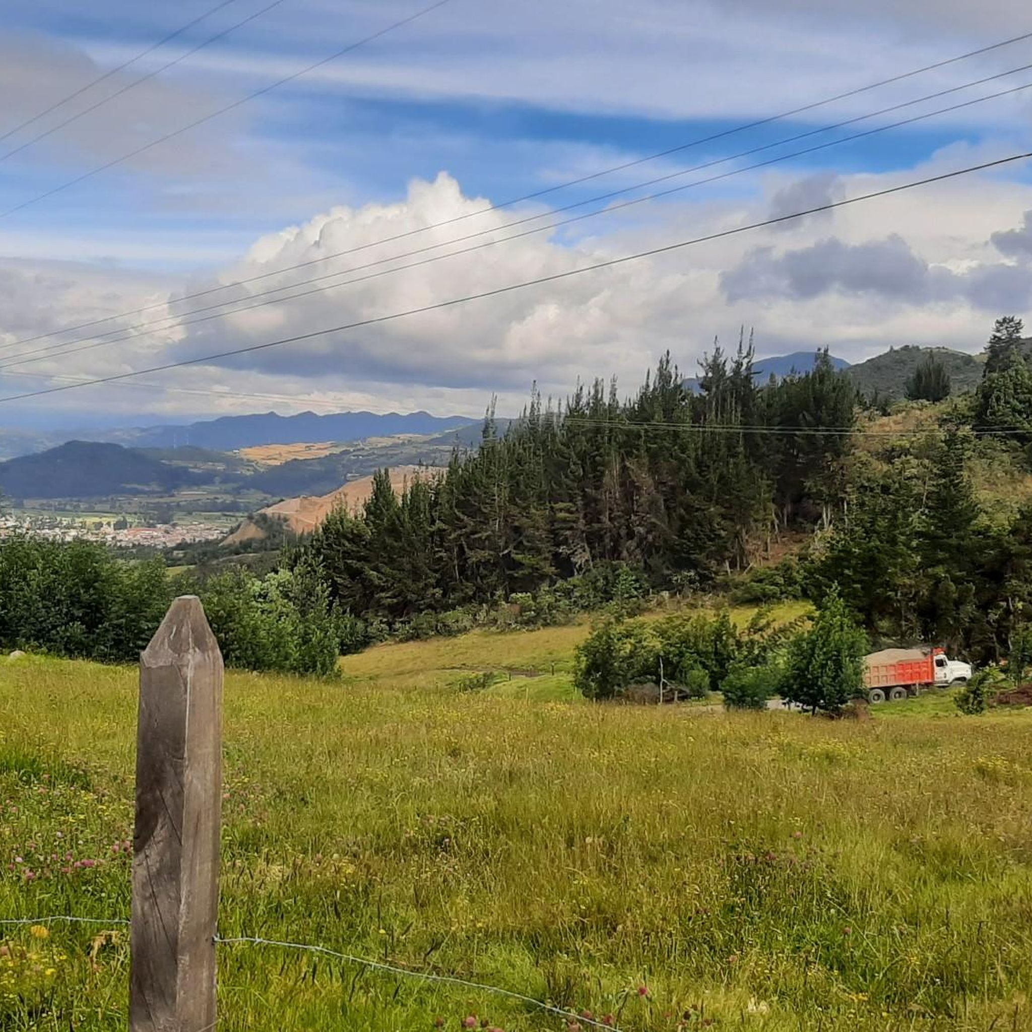
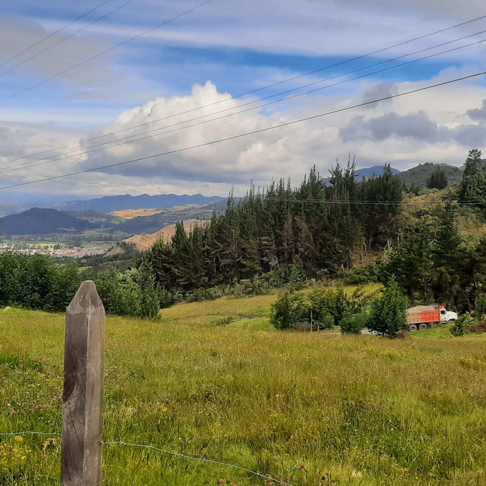
It is safe, there is little traffic, you can go by road bike or mountain bike, the top of the mountain is at 2,876 meters / sea level
0
0

3 km from the top of BocadeMonte, there is a store and the detour towards Maripi and Buenavista.
0
0
High viewpoint of Boca de Monte. High that communicates several municipalities; Pauna, Muzo, Coper, Maripi, Briceño, SanPablo de Borbur or Buenavista.... There is a port outside the category that starts at the Minero River (Borbur) and goes up 48km (passing through Pauna) almost all pavement and some trail areas.
0
0
Drinking supplies, food and hot drinks, beer. On cold and rainy days it is a salvation.
0
0
Going up from simijaca 10km, hard ramps above 15%. paved road in fair condition, many holes
0
0
Mirador de la laguna de fuquene, shops. On the road. avoid night traffic
0
0
Heavy traffic highway, one lane and no shoulder. watch out
0
0

great climb towards Chiquinquirá. continuous slope. another option not to do the classic to Raquira from Villa de Leyva
0
0
Frequently Asked Questions
What kind of terrain can I expect on road cycling routes in Caldas?
Road cycling in Caldas features the mountainous terrain of the Western Andes, offering significant elevation changes. You'll encounter rolling hills covered in vibrant coffee plantations, alongside challenging ascents into higher altitudes. The region's volcanic landscapes and varied thermal floors create constantly changing scenery, from lush forests to cooler mountain expanses.
Are there routes suitable for different fitness levels?
Yes, Caldas offers a range of road cycling routes catering to various abilities. While many routes feature challenging Andean climbs, there are also moderate options. For instance, the Alto de Boca de Monte Viewpoint loop from Estacion Chiquinquira is a moderate 18.2-mile path with a steady climb, providing panoramic views. For a more relaxed experience, consider the Roadbike loop from Estacion Chiquinquira, another moderate option.
What are some of the most challenging road cycling routes in Caldas?
Caldas is renowned for its demanding climbs. The iconic Alto de Letras, though starting outside Caldas, is a significant challenge traversing diverse ecosystems. Within the guide, routes like the La Cabrera Hill loop from Estacion Chiquinquira, a 60.8-mile difficult trail with significant elevation gain, offer a strenuous experience. Another difficult option is the Climb from Simijaca – View of Laguna de Fúquene loop from Estación Guachetá - La Isla, leading through Andean hills.
What natural features or landmarks can I see along the routes?
Caldas offers breathtaking natural beauty. You can expect to cycle through the UNESCO World Heritage Coffee Cultural Landscape, characterized by rolling hills and coffee plantations. The region also features volcanic landscapes and views of snow-capped peaks from Los Nevados National Natural Park. Specific viewpoints include the Alto de Boca de Monte Viewpoint and the Piedra Colgada Viewpoint. You might also encounter the Buenavista–Coper Mountain Pass or the Sucre–Perquirá Traverse (High Andean Forest).
Are there any long-distance road cycling options in Caldas?
Yes, Caldas provides routes for longer distances. The La Cabrera Hill loop from Estacion Chiquinquira spans nearly 61 miles (97.8 km), and the Climb from Simijaca – View of Laguna de Fúquene loop from Estación Guachetá - La Isla is approximately 61.5 miles (99.0 km). These routes offer extended rides through the region's diverse landscapes.
What is the best time of year for road cycling in Caldas?
Caldas experiences varied thermal floors, leading to diverse climates. Generally, the dry seasons are preferred for cycling, though specific conditions can vary greatly with altitude. Given the region's mountainous nature, it's advisable to check local weather forecasts for your chosen route and elevation before heading out.
Can I find loop routes for road cycling in Caldas?
Yes, many of the road cycling routes in Caldas are designed as loops, allowing you to start and finish at the same point. Examples include the Alto de Boca de Monte Viewpoint loop from Estacion Chiquinquira and the Roadbike loop from Estacion Chiquinquira. These circular routes are convenient for exploration.
What do other road cyclists enjoy most about cycling in Caldas?
The road cycling routes in Caldas are highly rated by the komoot community, with an average score of 5.0 stars from 5 reviews. Cyclists often praise the challenging Andean climbs, the stunning views of the Coffee Cultural Landscape, and the diverse ecosystems encountered along the way. The strong local cycling culture also contributes to a welcoming environment.
Are there opportunities to experience the coffee culture while cycling?
Absolutely. Cycling through Caldas means immersing yourself in the Coffee Cultural Landscape, a UNESCO World Heritage Site. Many routes wind through vibrant green coffee plantations and picturesque villages, offering a unique opportunity to witness coffee production firsthand and experience local culture. You'll find numerous cafes and stops along the way to enjoy local gastronomy.
Is Manizales a good base for road cycling in Caldas?
Manizales, the capital of Caldas, serves as a significant starting point for many cycling routes. The city itself offers cultural attractions and a vibrant atmosphere, making it an excellent base for cyclists looking to explore the surrounding mountainous terrain and coffee regions.
What is the most difficult road cycling route in Caldas?
Among the most challenging routes in this guide is the Maripí–Buenavista Junction – Climb to Pauna loop from Estacion Chiquinquira. This difficult route covers over 50 miles (81.9 km) and features a substantial elevation gain of over 2,200 meters, providing a rigorous test for experienced cyclists.
Most popular routes in Caldas
Most popular attractions in Caldas

Get inspired with the komoot mobile app


Explore more
Browse the best Road cycling routes in other regions.
