The best road cycling routes in Sabaneta
4.8
(113)
4,774
riders
30
rides
Road cycling in Sabaneta, located in Colombia's Aburrá Valley, offers diverse landscapes and challenging terrain. The region features significant elevation changes, characteristic of the Andean mountains, providing routes with substantial climbs. Cyclists can expect a mix of paved and unpaved segments, with many areas known for smooth tarmac. This varied topography makes Sabaneta a destination for road cyclists seeking different levels of challenge.
Best road cycling routes in Sabaneta
- The most popular road cycling route is Las Palmas Viewpoint –…
Last updated: July 2, 2026
148
riders
93.8km
05:39
2,100m
2,100m
Hard road ride. Very good fitness required. Some segments of this route may be unpaved and difficult to ride.
4.6
(9)
97
riders
37.6km
01:51
320m
320m
Moderate road ride. Good fitness required. Mostly well-paved surfaces and easy to ride.

Sign up for free
65
riders
85.9km
05:04
2,100m
2,100m
Hard road ride. Very good fitness required. Mostly well-paved surfaces and easy to ride.
4.5
(2)
41
riders
59.7km
04:47
1,830m
1,830m
Hard road ride. Very good fitness required. Some segments of this route may be unpaved and difficult to ride.
23
riders
22.6km
01:02
160m
160m
Easy road ride. Great for any fitness level. Mostly well-paved surfaces and easy to ride.
Get access to more routes and recommendations from other explorers.
Sign up for free
Already have an account?
Our route recommendations are based on thousands of hikes, rides, and runs completed by other people on komoot.
Start today with a free account
Your next adventure awaits.
Login or Signup
Popular around Sabaneta


Tips from the Community

The Parques del Río in Medellín is a state-of-the-art urban development project that connects the neighborhoods west and east of the Medellín River. The highways on the banks were moved underground for this purpose. The park is divided into a west side (Sector 1A) and an east side (Sector 1B), which are connected by modern pedestrian bridges. Plaza de Niebla: The so-called "Fog Plaza" provides cooling on hot days with artificial mist fountains. La Pradera: A spacious, well-kept meadow that is ideal for picnics or relaxation in the shade of over 280 newly planted trees.
0
0
The ascent is possible on foot via stairs or an asphalt road (approx. 15-20 minutes). Alternatively, visitors can take a taxi or car directly to the summit. The area is usually accessible daily from 06:00 to 23:59.
0
0

A great spot to escape rain! Vegan options!
0
0

Nutibara Hill is a small promontory offering views of the city. It is named after an indigenous chief.
0
0


Excellent place to see the city and take pictures of it, from a safe place that does not interfere with the circulation of vehicles.
0
0
Frequently Asked Questions
What kind of terrain and difficulty can I expect on Sabaneta's road cycling routes?
Sabaneta's road cycling routes feature diverse landscapes and challenging terrain, with significant elevation changes characteristic of the Andean mountains. You'll find a mix of paved and unpaved segments, with many areas boasting very good smooth tarmac. Routes range from easy, with moderate elevation, to difficult, involving substantial climbs.
Are there road cycling routes suitable for beginners in Sabaneta?
Yes, Sabaneta offers options for various fitness levels, including easier routes. For instance, the 1er.retorno Las Palmas loop from Itagüí is an easy 34.6 km path with less elevation, providing a more moderate experience. Another easy option is the Juan Pablo II Track loop from Sabaneta, which is 24.6 km long with minimal elevation gain.
What are the most challenging road cycling routes in Sabaneta?
For experienced cyclists seeking a challenge, Sabaneta has several demanding routes. The Las Palmas Viewpoint – Variante Las Palmas Toll loop from Envigado is a difficult 93.8 km trail with over 2000 meters of elevation gain. Another challenging option is the Alto de Minas – Cycling Mural in Montebello loop from La Estrella, an 85.9 km route through mountainous terrain with significant climbing.
How long do road cycling routes in Sabaneta typically take to complete?
The duration of road cycling routes in Sabaneta varies significantly based on distance and elevation. Shorter, easier routes like the 1er.retorno Las Palmas loop from Itagüí can take around 1 hour 38 minutes. More challenging routes, such as the Las Palmas Viewpoint – Variante Las Palmas Toll loop from Envigado, can take approximately 5 hours 39 minutes due to their length and substantial elevation gain.
Are most road cycling routes in Sabaneta circular?
Yes, many of the popular road cycling routes in Sabaneta are designed as loops, allowing you to start and finish at the same point. Examples include the Las Palmas Viewpoint – Variante Las Palmas Toll loop from Envigado and the The Bicycle Route loop from Itagüí, which offer convenient circular journeys.
What natural attractions or viewpoints can I see while road cycling in Sabaneta?
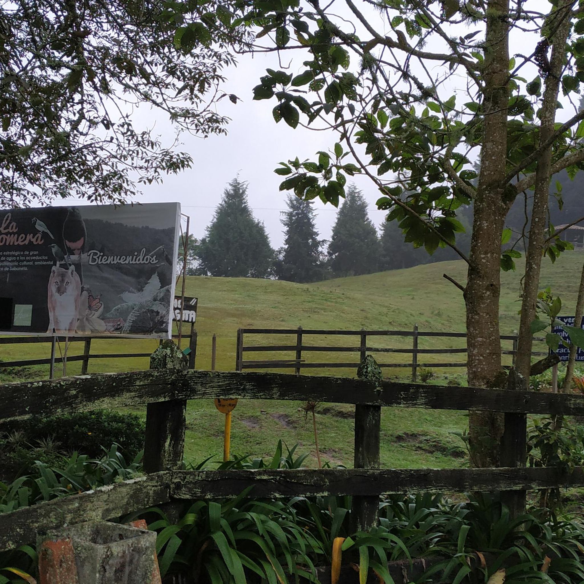
While road cycling in Sabaneta, you can enjoy stunning vistas and natural features. The region is home to ecological parks like Parque Ecológico El Salado, known for its serene landscapes and streams, and Parque Ecológico La Romera, with lush forests, waterfalls, and diverse bird species. You might also encounter viewpoints such as Alto del Chuscal Viewpoint, offering panoramic views.
Are there any specific landmarks or points of interest along the routes?
Beyond natural beauty, you might encounter interesting landmarks. For example, the Alto de Minas – Cycling Mural in Montebello loop from La Estrella passes by a notable cycling mural. Other points of interest in the broader Sabaneta area include La Catedral - Envigado and the Kachotis Tunnel.
When is the best time of year to go road cycling in Sabaneta?
Colombia's Andean mountains offer year-round riding opportunities. Sabaneta's climate is generally favorable for cycling, with temperatures varying by altitude. It's advisable to check local weather forecasts closer to your visit, but the region typically provides consistent conditions for road cycling throughout the year.
Are there places to stop for refreshments or coffee along the road cycling routes?
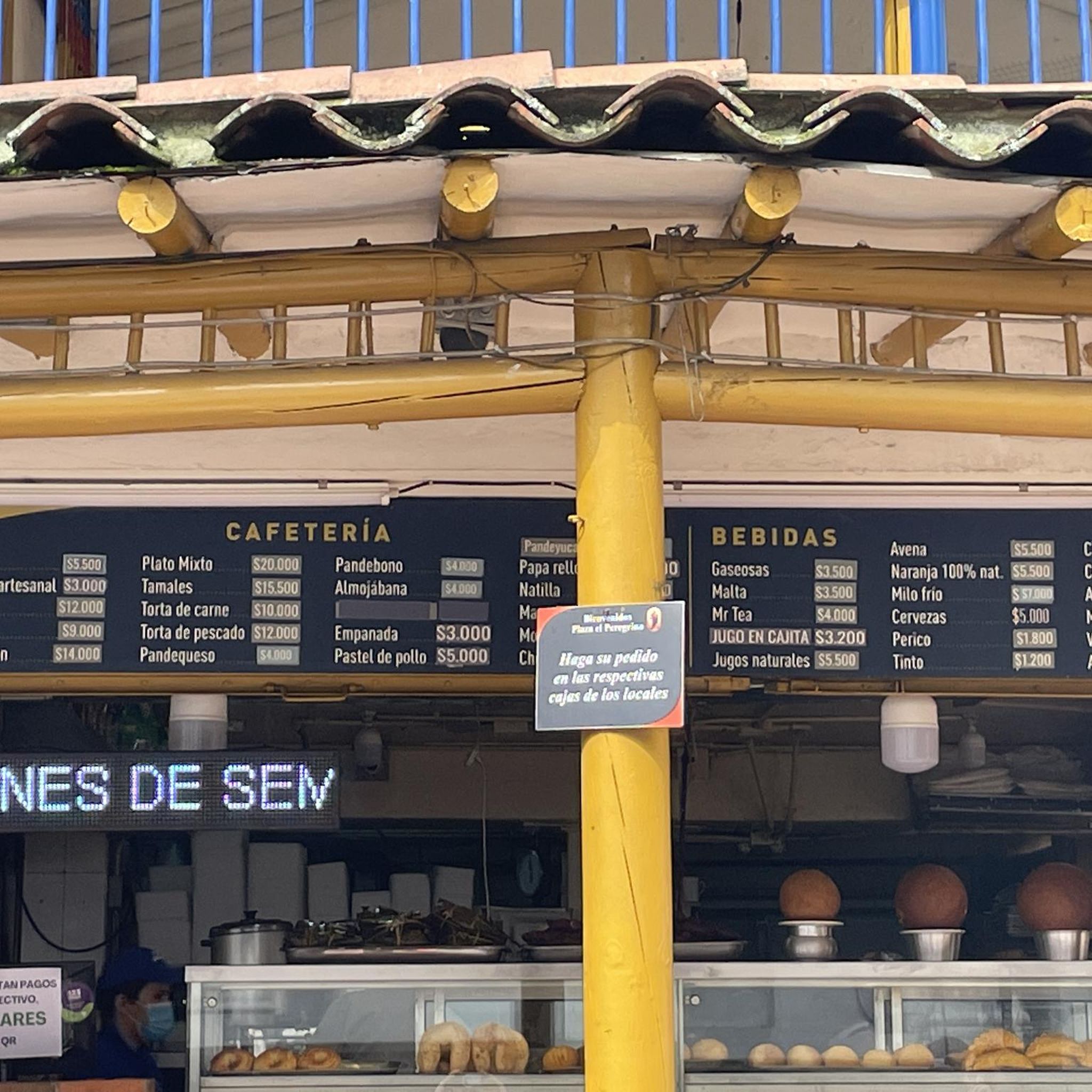
Yes, many routes in the Sabaneta area pass through or near towns and villages where you can find cafes and restaurants. The region is known for its welcoming atmosphere, and you'll often find opportunities to stop for coffee or a meal, especially in areas like Las Palmas or near ecological parks such as Parque Ecológico El Salado, which has a restaurant.
What do other road cyclists enjoy the most about road cycling in Sabaneta?
The road cycling routes in Sabaneta are highly rated by the komoot community, with an average score of 4.8 stars from over 100 reviews. Cyclists frequently praise the diverse landscapes, the challenging climbs, and the quality of the paved surfaces. The variety of routes, catering to different skill levels, is also a significant draw for the community.
Is parking available near the road cycling routes in Sabaneta?
While specific parking details for every trailhead are not always listed, Sabaneta and its surrounding towns generally offer parking options. Many routes start from urban centers like Itagüí or Envigado, where public parking facilities are available. It's recommended to check parking availability for your specific starting point before your ride.
Are there family-friendly road cycling options in Sabaneta?
For families looking for less strenuous rides, Sabaneta does offer some easier, shorter loops. Routes with moderate elevation, such as the Juan Pablo II Track loop from Sabaneta, which is 24.6 km with minimal elevation, can be suitable for families or those with varying fitness levels. These routes often feature mostly paved surfaces.
Most popular routes in Sabaneta
Most popular attractions in Sabaneta

Get inspired with the komoot mobile app


Explore more
Browse the best Road cycling routes in other regions.
