The best running trails in Jericó
4.8
(10)
115
runners
6
runs
Jogging routes in Jericó, Colombia, are situated at an altitude of approximately 1,910 meters (6,400 feet) above sea level, providing a challenging yet rewarding environment. The region is characterized by hills, the Rio Cauca canyon, and lush nature reserves. Runners can explore diverse landscapes, from botanical gardens to more strenuous ascents through coffee farms and along river valleys.
Best jogging routes in Jericó
- The most popular jogging route is Cristo Rey loop from Jardín, a 6.8 mile (11.0 km)…
Last updated: July 1, 2026
4.8
(4)
62
runners
11.0km
01:18
230m
230m
Moderate run. Good fitness required. Mostly paved surfaces. Suitable for all skill levels.
5.0
(1)
25
runners
6.20km
00:48
180m
180m
Moderate run. Good fitness required. Mostly paved surfaces. Suitable for all skill levels.

Sign up for free
5.0
(2)
9
runners
12.1km
01:31
500m
500m
Hard run. Very good fitness required. Mostly paved surfaces. Suitable for all skill levels.
5.0
(1)
7
runners
8.26km
01:06
350m
350m
Hard run. Very good fitness required. Mostly paved surfaces. Suitable for all skill levels.
4.0
(2)
8
runners
6.87km
00:51
210m
210m
Moderate run. Good fitness required. Mostly paved surfaces. Suitable for all skill levels.
Our route recommendations are based on thousands of hikes, rides, and runs completed by other people on komoot.
Start today with a free account
Your next adventure awaits.
Login or Signup
Popular around Jericó

Tips from the Community

The cluster of communication antennas marks the distant summit towards which the surrounding trails lead. The views from here are spectacular and more than compensate for the effort of the climb.
0
0
This is one of several churches in Colombia dedicated to the Immaculate Conception. Inaugurated in 1932, it was elevated to a minor basilica by Pope John Paul II in 2003, making it a pilgrimage site in the country.
0
0

The statue of Christ the King seems to dominate the valley, offering it to hikers with a gesture. From here, the views are incredible, and you can perceive the full natural and agricultural essence of the area.
0
0
From here, the views of the valley and the red rooftops of Jardín are spectacular. Nearby, there's a café where you can enjoy the panorama with a snack.
0
0
This bridge, which seems completely improvised, is actually a gateway to a wonderful mountain trail.
0
0

The best time to see the waterfall is after a heavy rain, as the flow of the tributary increases in a more interesting way for tourists.
1
0
IT IS VERY BEAUTIFUL IN WINTER
1
1
Frequently Asked Questions
How many running trails are available in Jericó?
Jericó offers a selection of 8 diverse running routes. These trails cater to various fitness levels, ranging from moderate to difficult, ensuring there's a suitable path for most runners.
What are the difficulty levels of the running routes in Jericó?
The running routes in Jericó are categorized as either moderate or difficult. There are 4 moderate trails and 4 difficult trails, providing options for both intermediate and experienced runners seeking a challenge amidst the region's hilly terrain.
Are there any easy or beginner-friendly jogging routes in Jericó?
While Jericó's terrain is generally challenging due to its altitude and hills, some routes offer a less strenuous experience. For instance, the botanical gardens provide a pleasant and lighter path for a walk or a gentle jog. For a moderate run, consider the Salada Creek Bridge – Cristo Rey loop from Jardín, which is 3.8 miles (6.2 km) long and often completed in about 47 minutes.
Can I find circular running routes in Jericó?
Yes, many of the running routes in Jericó are circular, allowing you to start and end in the same location. Popular circular options include the Cristo Rey loop from Jardín and the more challenging Cristo Rey – Mirador la Herrerita loop from Jardín.
What kind of scenery can I expect on the running trails around Jericó?
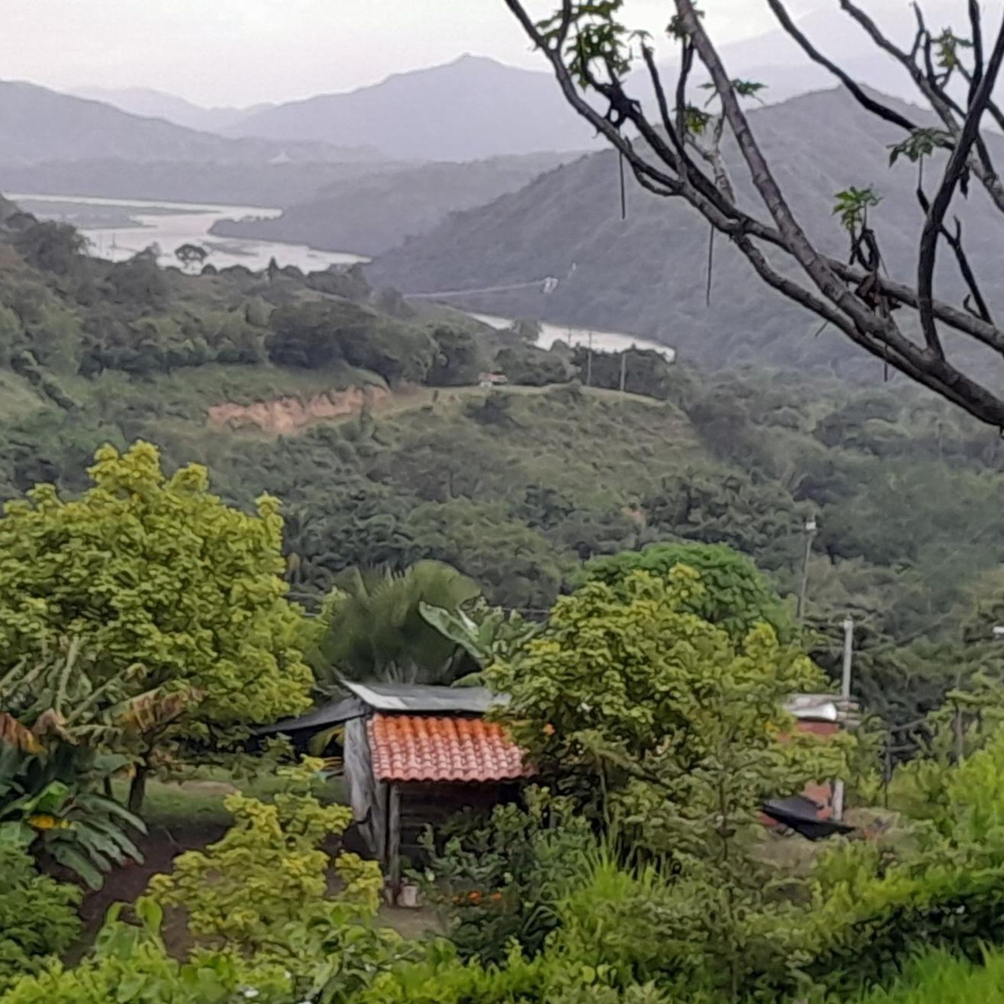
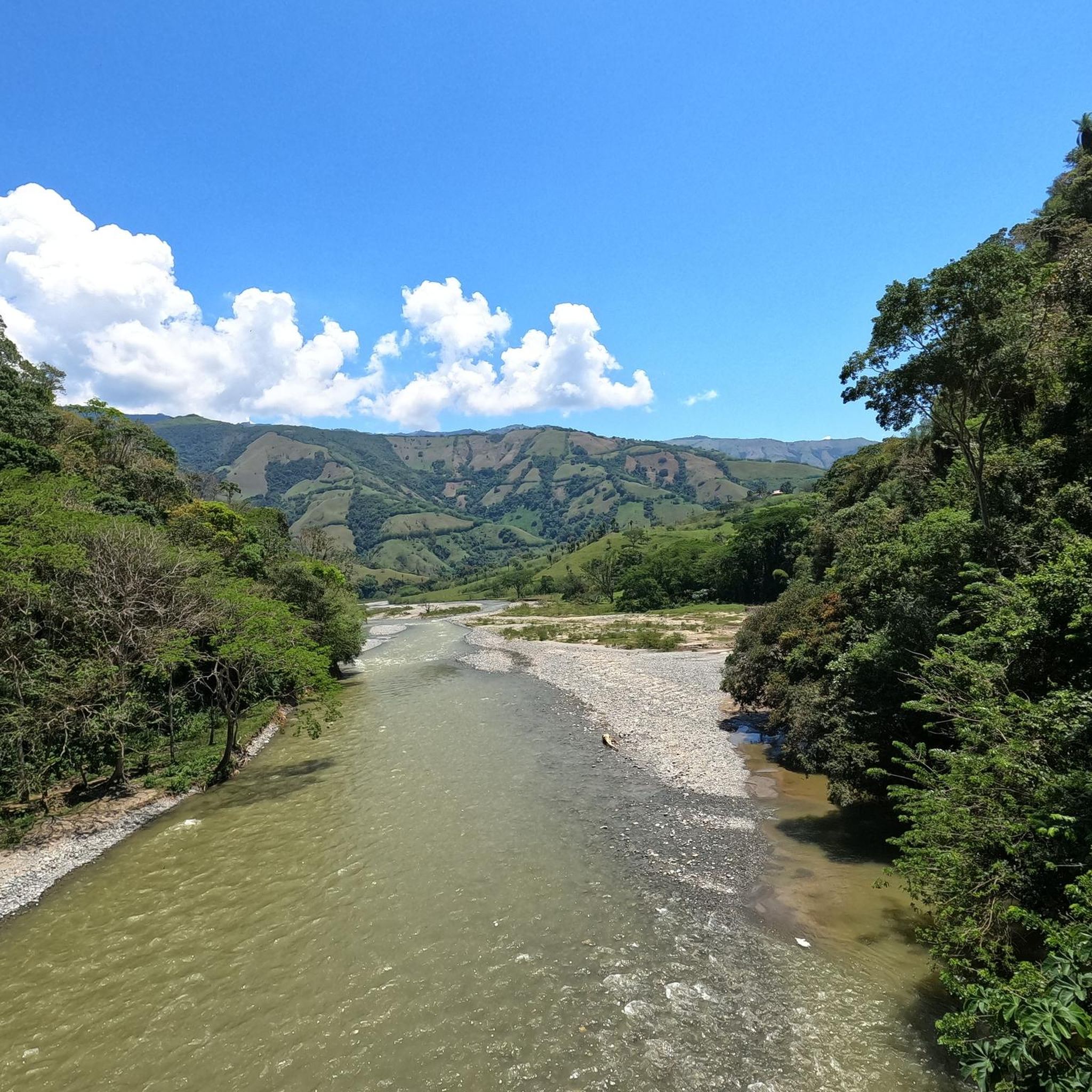
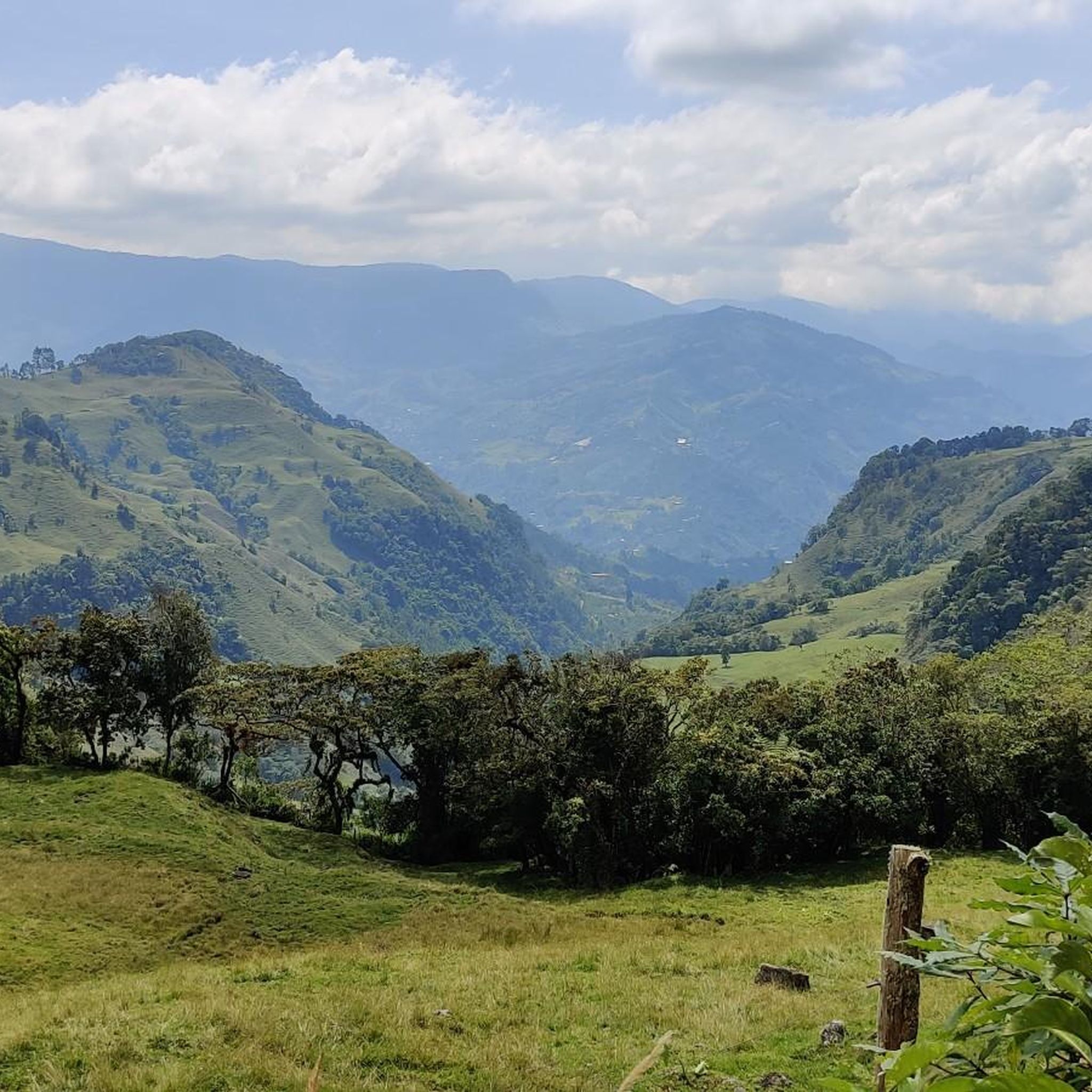
Runners in Jericó are treated to breathtaking scenery. Expect panoramic views of the Rio Cauca canyon, lush nature reserves like Las Nubes, and rolling hills dotted with coffee farms. Many trails also offer vistas of the town itself and prominent landmarks like Cerro las Nubes and Cerro Tusa.
Are there any waterfalls I can visit while running in Jericó?
Yes, the surrounding countryside of Jericó features beautiful waterfalls that can be incorporated into your outdoor excursions. Notable waterfalls include La Escalera Waterfall and Cave of Splendor Waterfall, offering refreshing stops along some routes.
What do other runners say about the trails in Jericó?
The running routes in Jericó are highly rated by the komoot community, with an average score of 4.6 stars from 10 reviews. Runners often praise the challenging elevation gains, the stunning panoramic views, and the opportunity to explore the region's rich natural beauty and coffee landscapes.
What are some notable landmarks or viewpoints accessible from the running paths?
Many running paths in Jericó lead to or pass by significant landmarks and viewpoints. You can reach the Cristo Rey viewpoint via a walk through the botanical gardens, offering splendid views of the town. Trails also ascend Cerro las Nubes, providing amazing panoramic views of the Rio Cauca, Cerro Tusa, and the broader Southwest Antioquia region.
How does the altitude in Jericó affect running?
Jericó is situated at approximately 1,910 meters (6,400 feet) above sea level. This altitude adds a challenging yet rewarding dimension to running, making physical activity more demanding than in lower regions. Runners should be mindful of the elevation and consider acclimatizing if they are not used to high-altitude exercise.
Are there opportunities to see wildlife or unique nature while jogging?
Absolutely. The Las Nubes Nature Reserve, encompassing over 100 hectares of forest, is rich in biodiversity. While jogging through areas like this, outdoor enthusiasts have the chance to spot numerous birds, butterflies, and even monkeys or armadillos, making for a truly immersive natural experience.
Can I combine my run with a visit to a coffee farm?
Yes, the countryside surrounding Jericó is dotted with family-owned coffee farms, many of which are integrated into hiking and running routes. Some farms offer tours and are dramatically perched atop cliffs, providing unbelievable scenery and a unique cultural experience to complement your run.
Is Jericó suitable for family-friendly jogs?
While many routes are challenging, families can enjoy lighter activities in Jericó. The botanical gardens offer a peaceful and less strenuous path for walks or light jogs. For more adventurous families, some of the moderate trails might be suitable, depending on the children's fitness levels.
Where can I park my car when accessing running trails in Jericó?
Parking options in Jericó typically include designated areas within the town center or near popular trailheads. It's advisable to check local signage or inquire locally for the most convenient and secure parking spots closest to your chosen running route.
Most popular routes in Jericó
Most popular attractions in Jericó

Get inspired with the komoot mobile app


Explore more
Browse the best Running Trails & Routes in other regions.
