The best walks and hikes in Bello
4.8
(9)
28
hikers
9
hikes
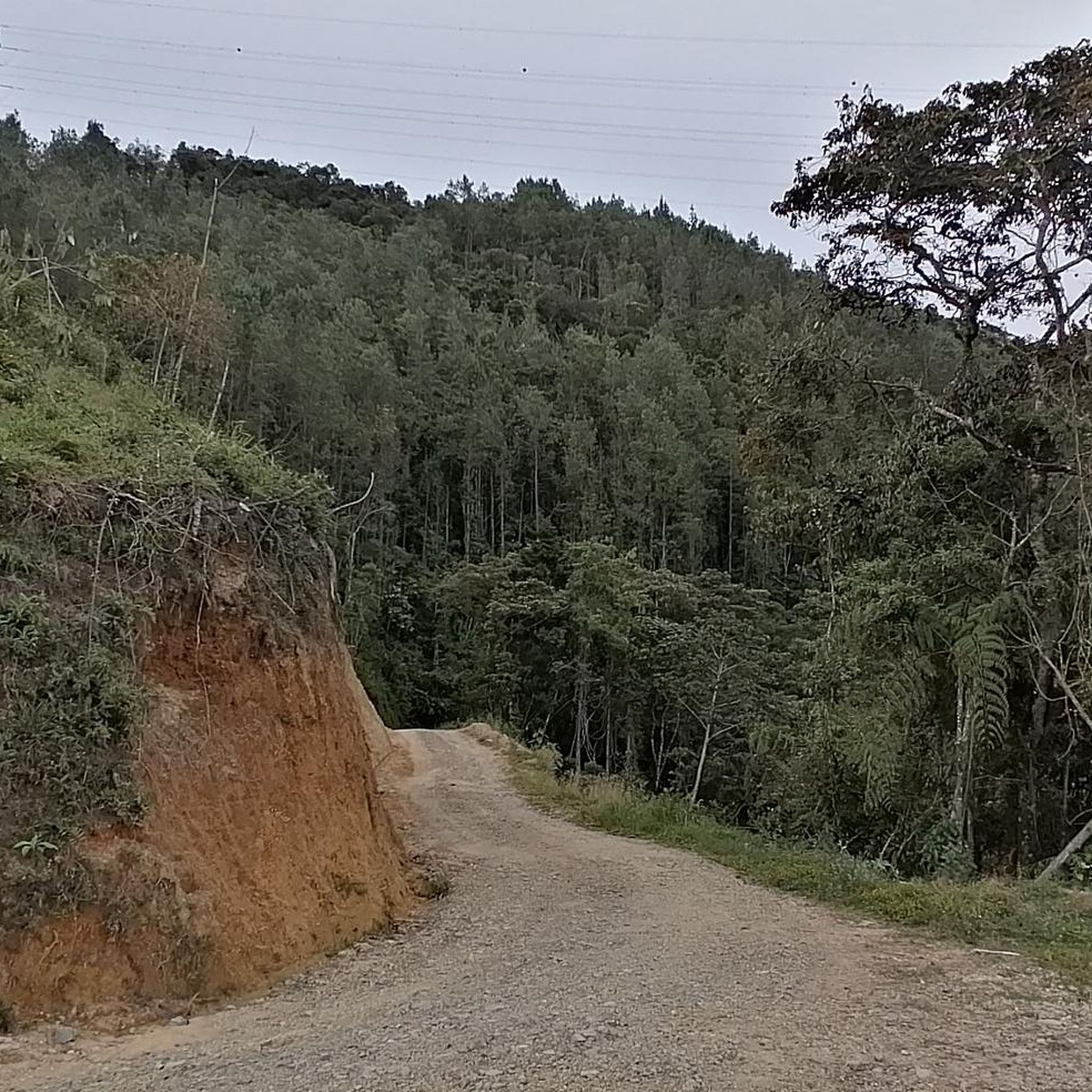
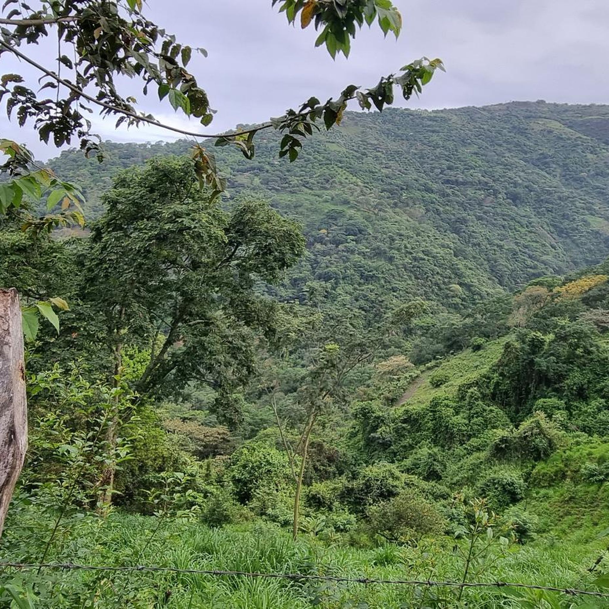
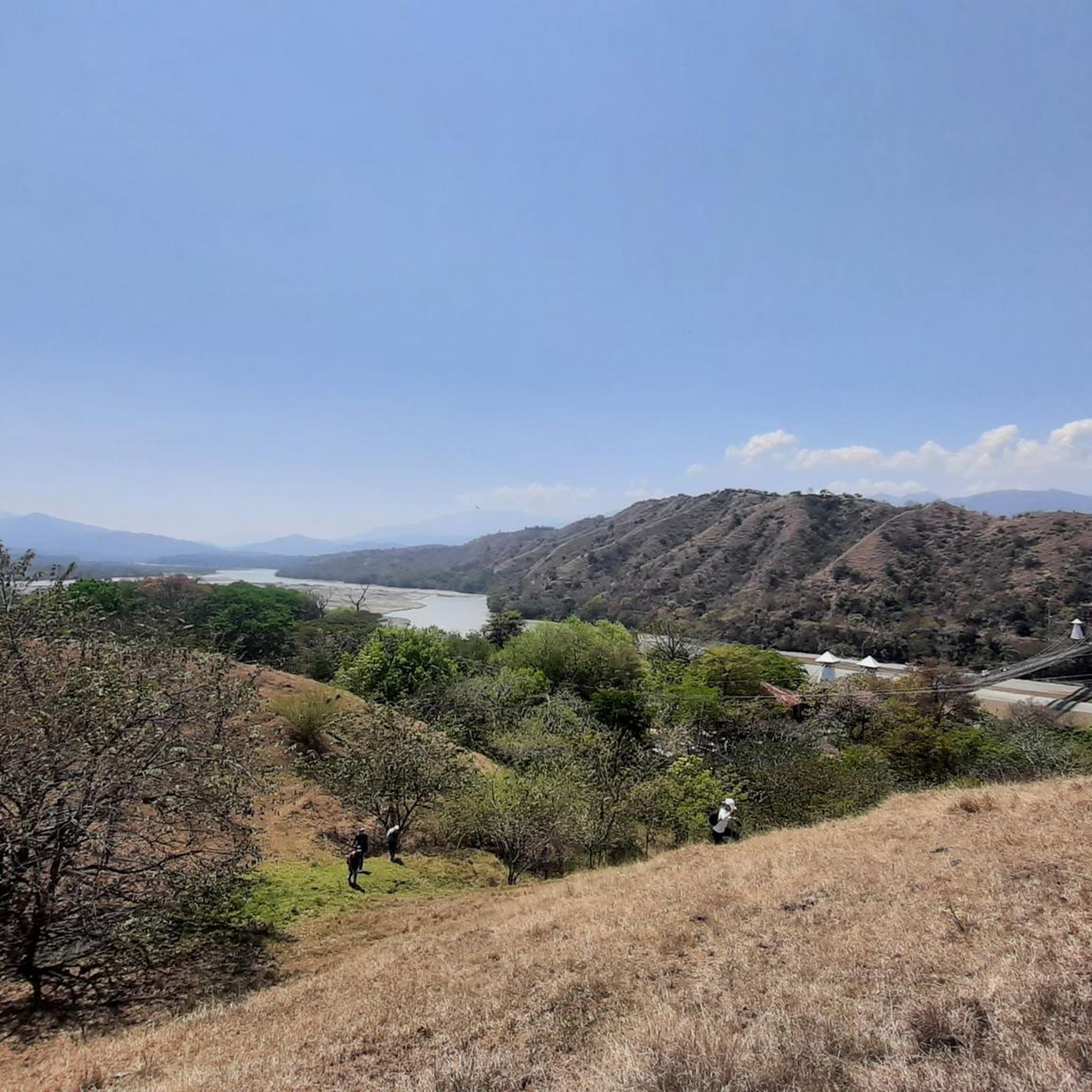
Hiking in Bello offers diverse terrain, from urban-adjacent paths to more remote mountain trails. The region features varied elevation changes, characteristic of its location near the Andes foothills. Trails often provide views of the surrounding valleys and urban areas, connecting different communities.
Best hiking trails in Bello
- The most popular hiking route is San Cristóbal and Pajarito Loop, a moderate 10.1 miles (16.3 km) trail that takes 4 hours 46 minutes to complete. This loop offers varied landscapes and…
Last updated: July 1, 2026
9.17km
03:50
740m
740m
Moderate hike. Good fitness required. Easily-accessible paths. Suitable for all skill levels.
3
hikers
3.45km
00:59
80m
80m
Easy hike. Great for any fitness level. Easily-accessible paths. Suitable for all skill levels.

Sign up for free
16.3km
04:47
470m
470m
Moderate hike. Good fitness required. Easily-accessible paths. Suitable for all skill levels.
4.5
(6)
13
hikers
15.0km
06:44
1,150m
1,150m
Hard hike. Very good fitness required. Sure-footedness, sturdy shoes and alpine experience required.
5.0
(2)
7
hikers
14.7km
04:48
670m
670m
Moderate hike. Good fitness required. Easily-accessible paths. Suitable for all skill levels.
Get access to more routes and recommendations from other explorers.
Sign up for free
Already have an account?
Our route recommendations are based on thousands of hikes, rides, and runs completed by other people on komoot.
Start today with a free account
Your next adventure awaits.
Login or Signup
Tips from the Community

The viewpoint is located in the northwestern city district of Robledo, directly on Carrera 103C street. It offers a wide panoramic view of the entire Aburrá Valley and the city's urban panorama. The cable car station (Metrocable) of the same name, La Aurora, is also located in this region.
0
0
The ascent is possible on foot via stairs or an asphalt road (approx. 15-20 minutes). Alternatively, visitors can take a taxi or car directly to the summit. The area is usually accessible daily from 06:00 to 23:59.
0
0
The Cerro Nutibara is one of the city's seven "guardian hills" and hosts the famous Pueblito Paisa on its summit, a faithful replica of a traditional Antioquia region village from the turn of the century. A charming museum village with a stone fountain, a white church, a town hall, a small school, and typical colonial houses with colorful balconies. From the 80-meter high summit, there is a spectacular 360-degree panoramic view of the entire Aburrá Valley and the Medellín skyline. The view is especially recommended at sunset.
0
0

Very close to the Pueblito Paisa, on Nutibara Hill, is this viewpoint from which you can enjoy a good panoramic view of Medellín.
0
0
Nutibara Hill is named after an indigenous chief. At the summit, you can enjoy a traditional Paisa village and views of the city. Its lush green surroundings delight visitors.
0
0
Nutibara Hill is a small promontory offering views of the city. It is named after an indigenous chief.
0
0

This is another great place to enjoy panoramic views of the city of Medellín.
1
0
This is one of the points, along the Mirador de la Paloma trail, where you can stop to enjoy the views over the big city.
0
0
Frequently Asked Questions
How many hiking trails are available in Bello?
Bello offers a selection of 9 hiking routes, catering to various preferences. These include 2 easy trails, 6 moderate, and 1 difficult route, ensuring options for different fitness levels.
What kind of terrain and natural features can I expect when hiking in Bello?
Hiking in Bello features diverse terrain, from urban-adjacent paths to more remote mountain trails. You'll encounter varied elevation changes, characteristic of its location near the Andes foothills. The region offers views of surrounding valleys and urban areas, with trails often connecting different communities. While the provided data focuses on the Bello region in Colombia, other areas named Bello, like the Monte Bello Open Space Preserve, are known for rolling grasslands, dense creekside forests, and prominent features like Black Mountain, offering panoramic vistas.
Are there any easy hiking trails suitable for beginners or families in Bello?
Yes, Bello has 2 easy hiking trails. A great option for a more relaxed outing is the Morrón loop from Copacabana. This route is 3.5 miles (5.7 km) long and typically takes around 1 hour 51 minutes to complete, making it suitable for those looking for a less strenuous walk.
Are there any circular hiking routes in Bello?
Many of Bello's trails are designed as loops, offering varied scenery without retracing your steps. For example, the San Cristóbal and Pajarito Loop is a popular moderate route, and the Boquerón loop from San Félix also provides a diverse circular experience.
What are some challenging hikes in Bello for experienced hikers?
For experienced hikers seeking a challenge, the View of Medellín – Niquía loop from Niquía is a difficult 9.3 miles (15.0 km) path. This route involves significant elevation changes and provides panoramic views of Medellín and the surrounding area, typically taking over 6 hours to complete.
What do other hikers enjoy the most about hiking in Bello?
The hiking routes in Bello are highly rated by the komoot community, with an average score of 4.8 stars from over 8 reviews. Hikers often praise the varied elevation, the mix of urban-adjacent paths and more natural trails, and the rewarding views of surrounding valleys and urban areas.
Are there any notable landmarks or viewpoints along the hiking trails in Bello?
Yes, Bello's hiking trails often provide excellent viewpoints. For instance, the difficult View of Medellín – Niquía loop from Niquía offers panoramic vistas of Medellín. Additionally, nearby attractions include Alto de Boquerón, which is a significant viewpoint, and Cerro Nutibara, a prominent summit offering views.
What is the best time of year to go hiking in Bello?
While specific seasonal data for Bello is not provided, regions with similar climates often offer good hiking conditions year-round, though some months might be wetter or hotter than others. It's always advisable to check local weather forecasts before heading out to ensure comfortable and safe hiking.
Are there any dog-friendly hiking trails in Bello?
The guide data does not specifically mention dog-friendly trails. However, many outdoor areas in Colombia are generally welcoming to dogs on leash. It's recommended to check local regulations or specific trail signage before bringing your dog, especially in protected areas.
What should I pack for a day hike in Bello?
Given the varied terrain and elevation changes in Bello, it's wise to pack essentials for a day hike. This includes plenty of water, snacks, appropriate footwear for uneven trails, sun protection (hat, sunscreen), and layers of clothing to adapt to changing temperatures. A map or GPS device (like komoot) is also recommended for navigation.
Are there any less crowded hiking options in Bello?
While specific crowd levels aren't detailed, exploring the less-trafficked easy or moderate routes during off-peak hours (weekdays, early mornings) can often lead to a more serene experience. The Morrón loop from Copacabana (a different version than the easy one) is a moderate 4.6 miles (7.5 km) route that might offer a quieter alternative.
Are there any unique geological features to observe on Bello's trails?
While the immediate guide data for Bello, Colombia, doesn't detail specific geological features, other regions named Bello, such as the Monte Bello Open Space Preserve, are known for being shaped by the San Andreas Fault, with features like rift valleys and sag ponds. Hikers in Bello, Colombia, can still appreciate the dramatic geological formations of the Andes foothills that define the region's varied landscapes and elevation changes.
Most popular attractions in Bello

Get inspired with the komoot mobile app


Explore more
Browse the best Hikes in other regions.
