The best road cycling routes in Amagá
4.7
(8)
316
riders
5
rides
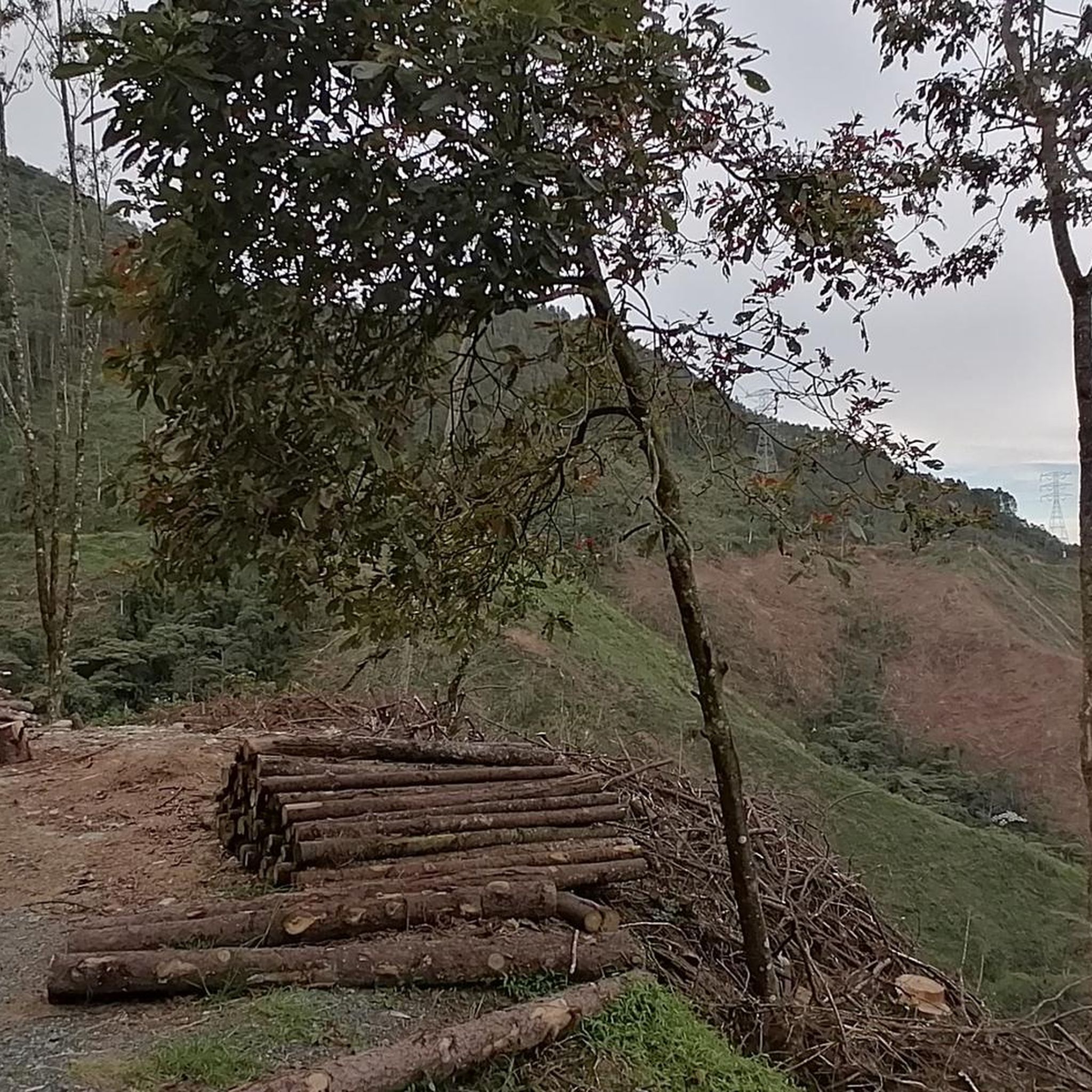
Road cycling routes in Amagá are set within the foothills of the Western Andes, offering a diverse topography for cyclists. The region features green peaks, rolling hills, and dense forests, providing varied terrain for road cycling. Historical railway routes, including old tunnels and bridges, have been repurposed for cycling, adding a unique element to the landscape. This area is characterized by significant elevation changes, catering to cyclists seeking a physical challenge.
Best road cycling routes in Amagá
- The most popular…
Last updated: July 2, 2026
4.4
(7)
158
riders
72.1km
04:26
1,950m
1,960m
Hard road ride. Very good fitness required. Mostly well-paved surfaces and easy to ride.
40
riders
45.9km
02:55
1,170m
1,180m
Hard road ride. Very good fitness required. Mostly well-paved surfaces and easy to ride.

Sign up for free
15
riders
62.6km
04:13
1,940m
1,940m
Hard road ride. Very good fitness required. Some segments of this route may be unpaved and difficult to ride.
5.0
(1)
8
riders
134km
08:24
3,530m
3,530m
Hard road ride. Very good fitness required. Mostly well-paved surfaces and easy to ride.
4
riders
82.7km
04:56
2,090m
2,080m
Hard road ride. Very good fitness required. Mostly well-paved surfaces and easy to ride.
Our route recommendations are based on thousands of hikes, rides, and runs completed by other people on komoot.
Start today with a free account
Your next adventure awaits.
Login or Signup
Popular around Amagá
Tips from the Community


The old road to Caldas currently has many works on the road, potholes which cause vehicle congestion and maneuvers that can represent a risk for cyclists and pedestrians. It is advisable to take the variant that, although it has faster cars, has a wider berm
0
0


Frequently Asked Questions
What kind of terrain can I expect on road cycling routes in Amagá?
Amagá's road cycling routes are characterized by diverse terrain, including green peaks, rolling hills, and dense forests. You'll encounter significant elevation changes as the region is nestled in the foothills of the Western Andes, providing a challenging experience for cyclists.
Are there any historical features along the cycling routes in Amagá?
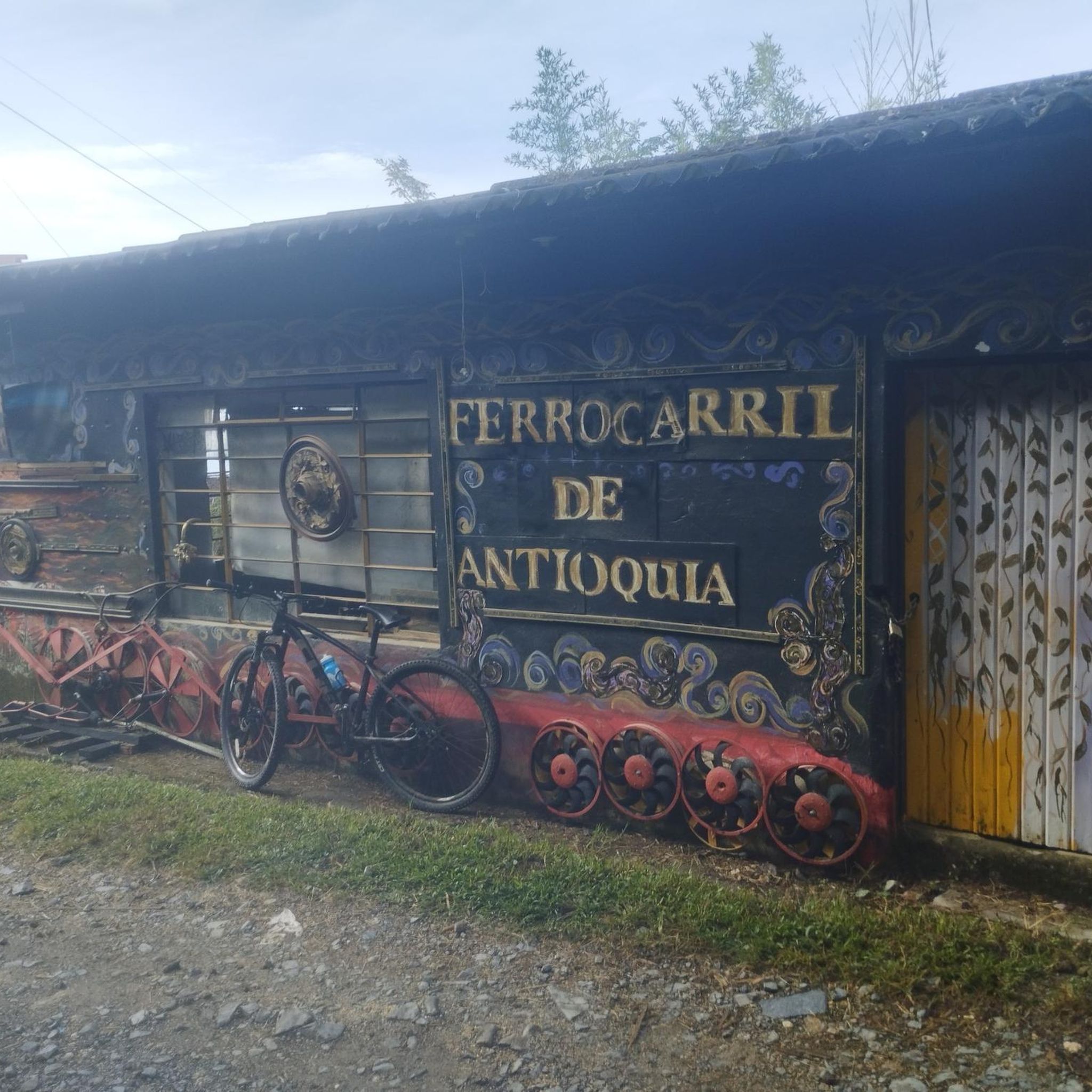
Yes, Amagá is unique for its historic railway routes. Many cycling paths incorporate old railway lines, tunnels, and bridges, offering a glimpse into the region's past. For example, the Main Square of Caldas – Bosi Tunnel loop from Amagá specifically features these historical railway elements.
What is the general difficulty level of road cycling in Amagá?
Road cycling in Amagá is primarily suited for advanced ability levels due to significant elevation changes and demanding routes. All six routes listed in the guide are classified as 'difficult', catering to those seeking a physical challenge.
Are there any routes that offer panoramic views?
Absolutely. Many challenging ascents on Amagá's cycling routes reward riders with breathtaking panoramic views of the surrounding green peaks, including peaks like Tusa and Bravo. The Main Square of Caldas – Alto de Minas loop from Amagá is known for its challenging ascents and panoramic vistas.
What are some notable natural features I might see while cycling in Amagá?
Beyond the green peaks and diverse terrain, you might encounter picturesque coffee plantations, which are abundant in the landscape. The region also features the scenic Amagá River and several waterfalls, adding to the natural beauty of the area.
What do other road cyclists think about the routes in Amagá?
The road cycling routes in Amagá are highly rated by the komoot community, with an average score of 4.3 stars from over 15 reviews. More than 400 road cyclists have used komoot to explore Amagá's varied and challenging terrain, often praising the unique historical railway features and stunning natural scenery.
Are there any specific landmarks or attractions near the cycling routes?
Yes, there are several interesting landmarks and attractions. You could explore the historic Kachotis Tunnel, visit the Church of the Holy Angels, or enjoy a View of Medellín from Parque Ecológico La Romera. The Alto de La Cruz is another notable point of interest.
Are the road cycling routes in Amagá typically circular?
Yes, the road cycling routes highlighted in Amagá, such as the Cerro Bravo loop from Venecia, are designed as loops. This allows cyclists to start and finish at the same point, making logistics simpler for exploration.
What is the approximate distance and elevation gain for a typical difficult route in Amagá?
For a difficult route in Amagá, you can expect significant distances and elevation gains. For instance, the Main Square of Caldas – Alto de Minas loop from Amagá covers about 73.3 km (45.6 miles) with over 2000 meters of elevation gain.
Are there any routes that combine historical railway lines with challenging climbs?
Absolutely. The Main Square of Caldas – Bosi Tunnel loop from Amagá is an excellent example. This route, approximately 50 km long, incorporates historical railway lines, tunnels, and bridges, while also featuring the challenging ascents typical of the Amagá region.
What kind of landscapes will I pass through on the road cycling routes?
You will cycle through a rich tapestry of landscapes, including vibrant green peaks, dense forests, and rolling hills. The routes often traverse areas with picturesque coffee plantations, offering beautiful views and a true sense of the Antioquian countryside.
Most popular routes in Amagá
Most popular attractions in Amagá

Get inspired with the komoot mobile app


Explore more
Browse the best Road cycling routes in other regions.
