The best walks and hikes around Haute-Ajoie
4.4
(117)
682
hikers
27
hikes
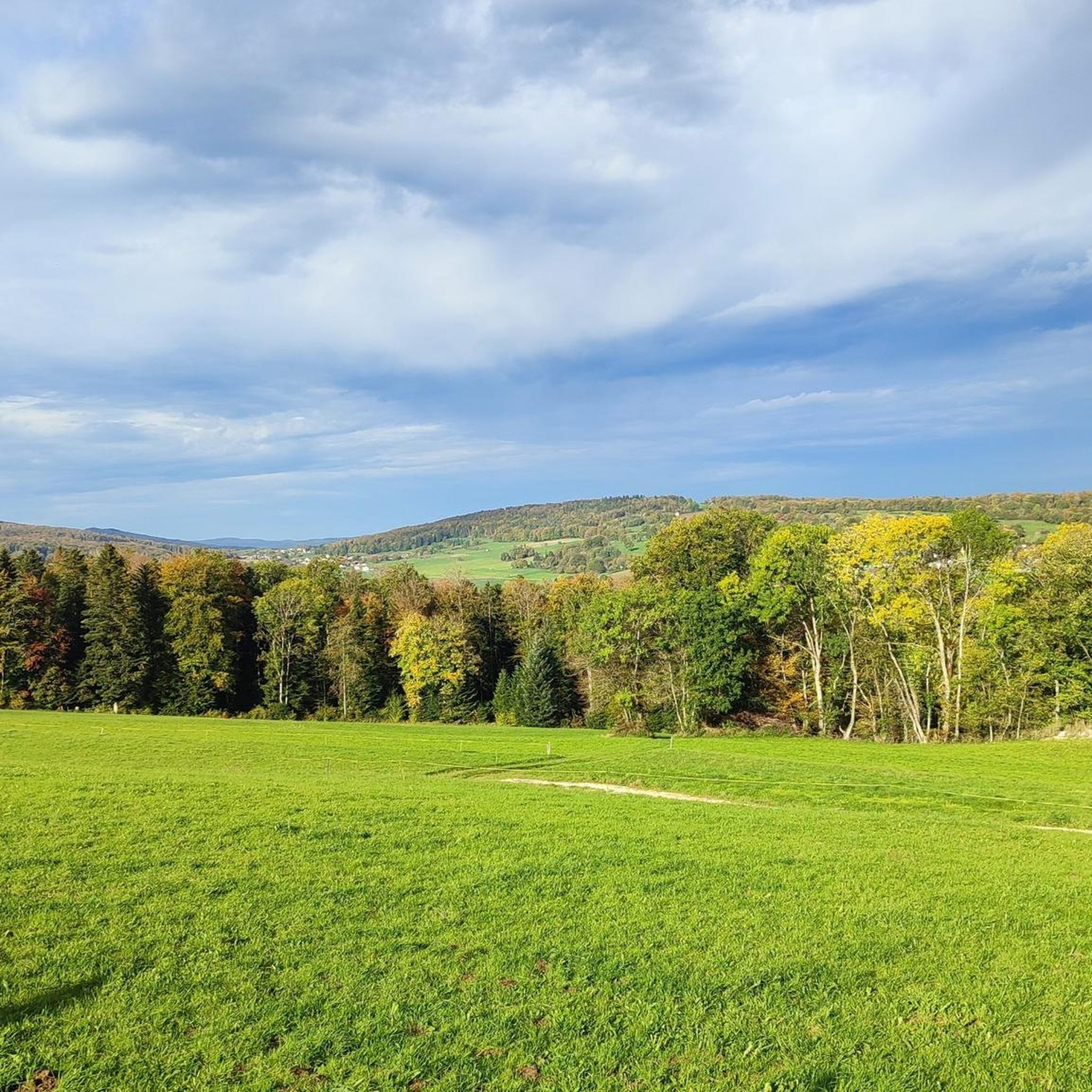
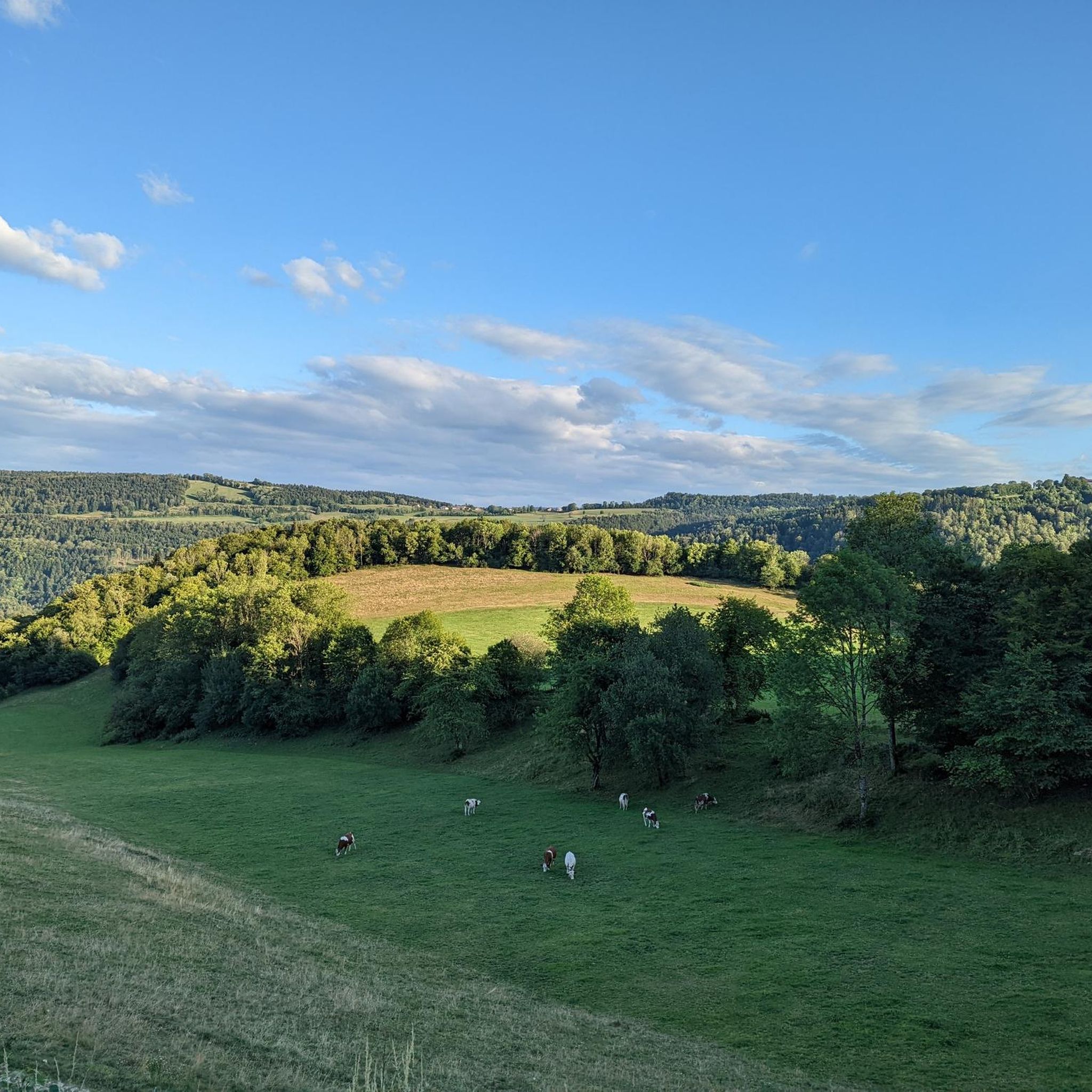
Hiking around Haute-Ajoie offers diverse natural landscapes in the Swiss Jura region. The area features a varied terrain with limestone plateaus, distinctive karst rock formations, extensive forests, and winding rivers. Hikers can explore a mix of open fields and dense woodlands, providing a range of experiences. This varied topography makes it a compelling destination for outdoor enthusiasts.
Best hiking trails around Haute-Ajoie
- The most popular hiking route is Tour Faux d'Enson — loop from Roche d'Or, a 2.3 miles…
Last updated: June 27, 2026
3.0
(1)
3
hikers
3.70km
01:01
60m
70m
Moderate hike. Great for any fitness level. Mostly accessible paths. Sure-footedness required.
4.9
(7)
42
hikers
Moderate hike. Good fitness required. Mostly accessible paths. Sure-footedness required.

Sign up for free
5.0
(4)
50
hikers
2.01km
00:33
40m
40m
Easy hike. Great for any fitness level. Easily-accessible paths. Suitable for all skill levels.
5.0
(2)
23
hikers
13.3km
03:50
340m
340m
Moderate hike. Good fitness required. Easily-accessible paths. Suitable for all skill levels.
5.0
(3)
16
hikers
9.04km
02:36
210m
210m
Moderate hike. Good fitness required. Easily-accessible paths. Suitable for all skill levels.
Get access to more routes and recommendations from other explorers.
Sign up for free
Already have an account?
Our route recommendations are based on thousands of hikes, rides, and runs completed by other people on komoot.
Start today with a free account
Your next adventure awaits.
Login or Signup
Tips from the Community

Take some time and enjoy the wonderful view.
1
0

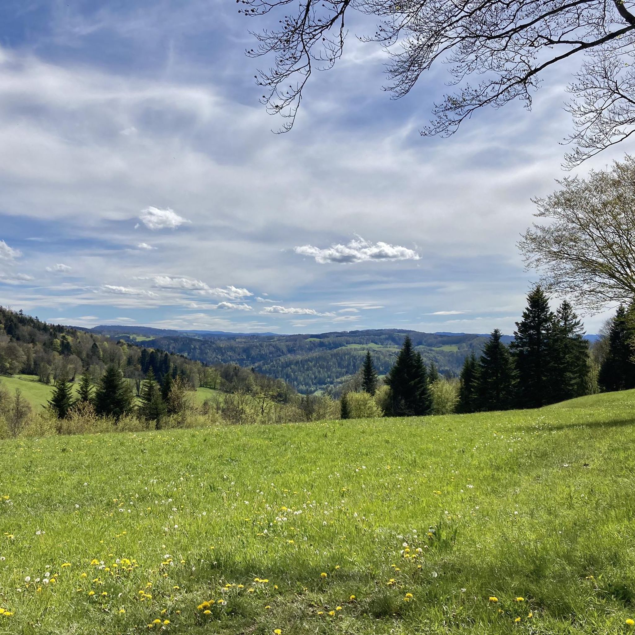
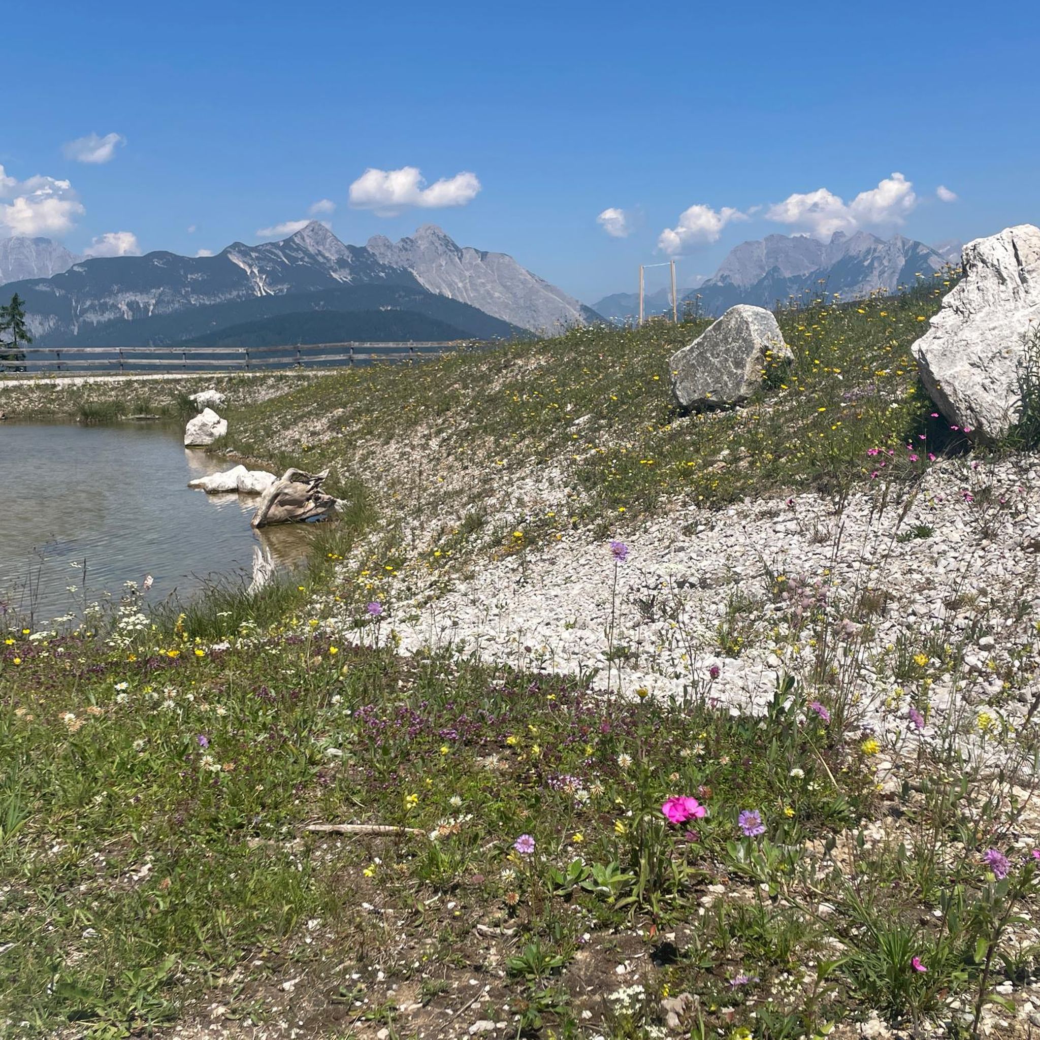
This viewpoint over Haute-Ajoie offers a panoramic view of the Ajoie region, with this plan of typical villages, rich forests and landscapes. Haute-Ajoie is a destination of choice for hikers who wish to discover the beauty and diversity of the Jura.
2
0
The Faux d'Enson observation tower is a 9 meter high concrete tower with metal stairs, built in 1989 by the Jura section of the Swiss Alpine Club. It is located at an altitude of 927 meters, at the summit of the Faux d'Enson mountain, which is part of the Mont-Terri range. From the tower, you enjoy a breathtaking view of the whole of Ajoie, as well as the border between France and Switzerland, marked by stone pillars. On a clear day, you can also see the Pays de Montbéliard, the Bernese Alps, the Vosges and the Black Forest. At the top of the tower, an orientation table allows you to identify landmarks on the horizon.
2
0

Pretty village with a beautiful church.
0
0

Well-kept dinosaur park with moderate admission. A combination ticket including the cave can also be purchased (7 degrees). The circular route is about 2km and can also be easily managed with prams. Have fun 🦕
0
0
Frequently Asked Questions
How many hiking trails are available in Haute-Ajoie?
Haute-Ajoie offers a good selection of hiking routes, with over 25 trails documented on komoot. These range from easy strolls to more challenging treks, ensuring options for various fitness levels.
What kind of terrain can I expect on hikes in Haute-Ajoie?
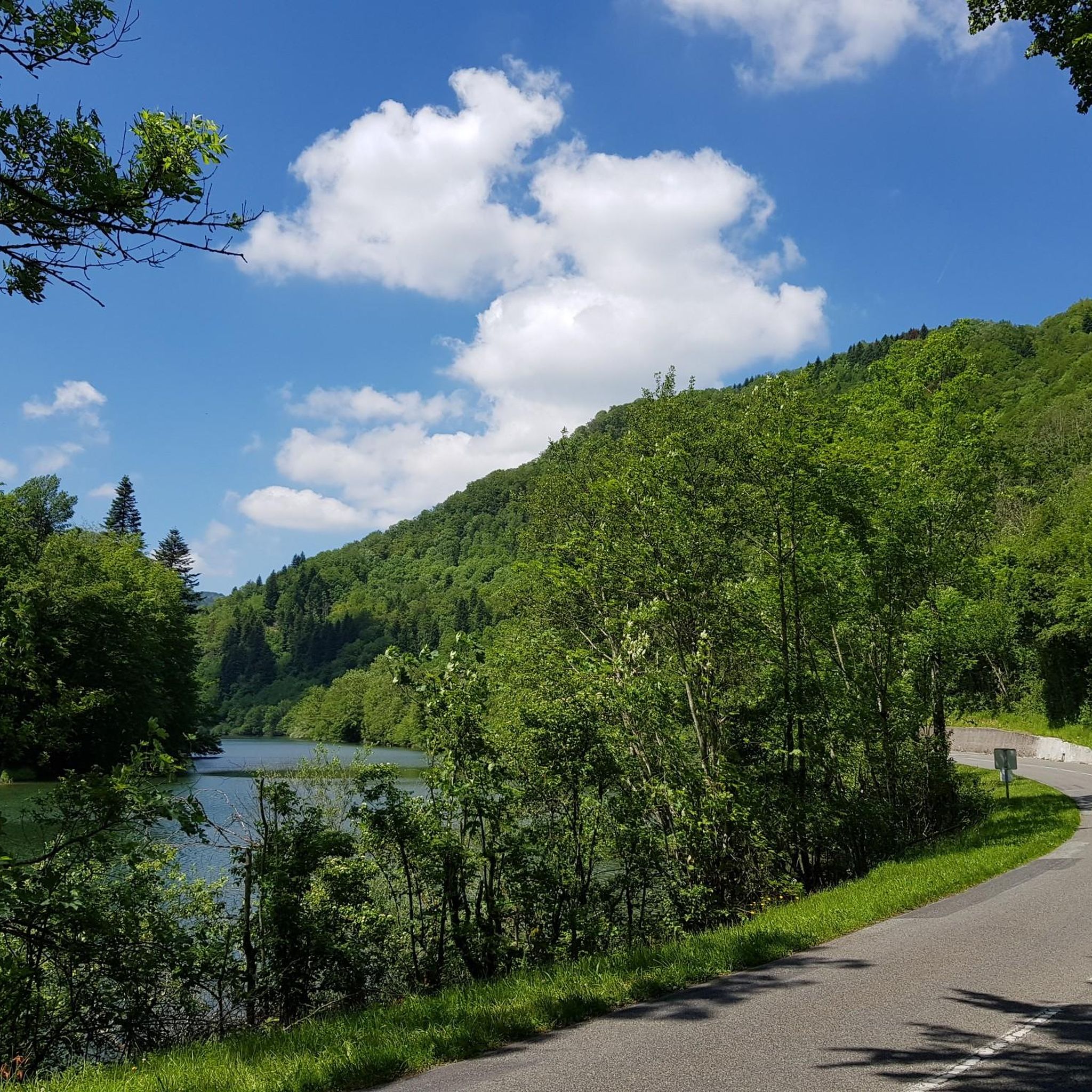
The region is characterized by diverse terrain, including limestone plateaus, karst rocks, extensive forests, and meandering rivers. You'll find yourself traversing through lush woodlands and open fields, offering varied landscapes and views.
Are there any family-friendly hiking options in Haute-Ajoie?
Yes, Haute-Ajoie has several easy trails suitable for families. For instance, the "Haute-Ajoie Tour" is noted as family-friendly, and komoot lists 8 easy routes in the area. A shorter, easy option is the Hiking loop from Vaufrey, which is just over 2 km.
Can I bring my dog on the hiking trails in Haute-Ajoie?
Generally, dogs are welcome on hiking trails in Haute-Ajoie. However, it's always advisable to keep them on a leash, especially in nature reserves, near livestock, or in areas with wildlife. Always check local signage for specific regulations.
What are some notable natural features or viewpoints to see while hiking?
Haute-Ajoie boasts several impressive natural features. The Roche-d'Or offers the exceptional viewpoint of La Faux d'Enson, providing panoramic views of the Montbéliard region, the Bernese Alps, and the Vosges mountains. The Tour Faux d'Enson — loop from Roche d'Or is a great way to experience this. The Doubs River, forming part of the French-Swiss border, also features the dramatic 27-meter Saut du Doubs waterfall and flows through deep karst rock folds.
Are there any circular hiking routes in Haute-Ajoie?
Yes, many trails in Haute-Ajoie are designed as loops. Examples include the Tour Faux d'Enson — loop from Roche d'Or, a 3.7 km moderate route, and the Ruins of Château Montjoie – Fountain and Church of Vaufrey loop from Vaufrey, which is a longer 11.9 km moderate path.
What historical landmarks or attractions can I explore near the hiking trails?
You can explore several interesting landmarks. The Ruins of Château Montjoie – Fountain and Church of Vaufrey loop from Vaufrey leads past the historic ruins of Château Montjoie. Additionally, the Réclère Caves and Prehistoric Park are a prominent natural attraction, often combined with hikes in the area.
What do other hikers say about the trails in Haute-Ajoie?
The routes in Haute-Ajoie are highly rated by the komoot community, with an average score of 4.5 stars from over 100 reviews. Hikers often praise the varied terrain, from dense forests to open fields, and the well-maintained paths that offer a range of experiences.
Are there any trails that follow the Swiss border?
Yes, you can find trails that run along the Swiss border. The Trail Along the Swiss Border – Fountain and Church of Vaufrey loop from Es Aiges is an 8.6 km moderate trail that leads through varied terrain along the border. Another option is the Trail Along the Swiss Border – Forest Trail loop from Damvant, a 9 km moderate route.
What is the best time of year to go hiking in Haute-Ajoie?
Haute-Ajoie offers enjoyable hiking experiences throughout much of the year. Spring and autumn provide pleasant temperatures and beautiful scenery, with vibrant foliage in fall. Summer is also popular, though some trails might be warmer. Winter hiking is possible, but conditions can vary, so checking local weather and trail reports is recommended.
Are there any waterfalls to see in Haute-Ajoie?
Yes, the region is home to the impressive Saut du Doubs, a dramatic 27-meter waterfall on the Doubs River, which forms part of the French-Swiss border. You can also find the Bief Waterfall listed as a highlight in the area.
How accessible are the trailheads by public transport or car parking?
While specific public transport details for every trailhead vary, many villages in Haute-Ajoie serve as starting points and may have public transport connections. For drivers, parking is generally available near popular trailheads and attractions like Roche-d'Or and the Grottes de Réclère, making access convenient for hikers.
Most popular routes around Haute-Ajoie
Most popular attractions around Haute-Ajoie

Get inspired with the komoot mobile app


Explore more
Browse the best Hikes in other regions.
