The best walks and hikes around Hauptwil-Gottshaus
4.6
(918)
5,497
hikers
20
hikes
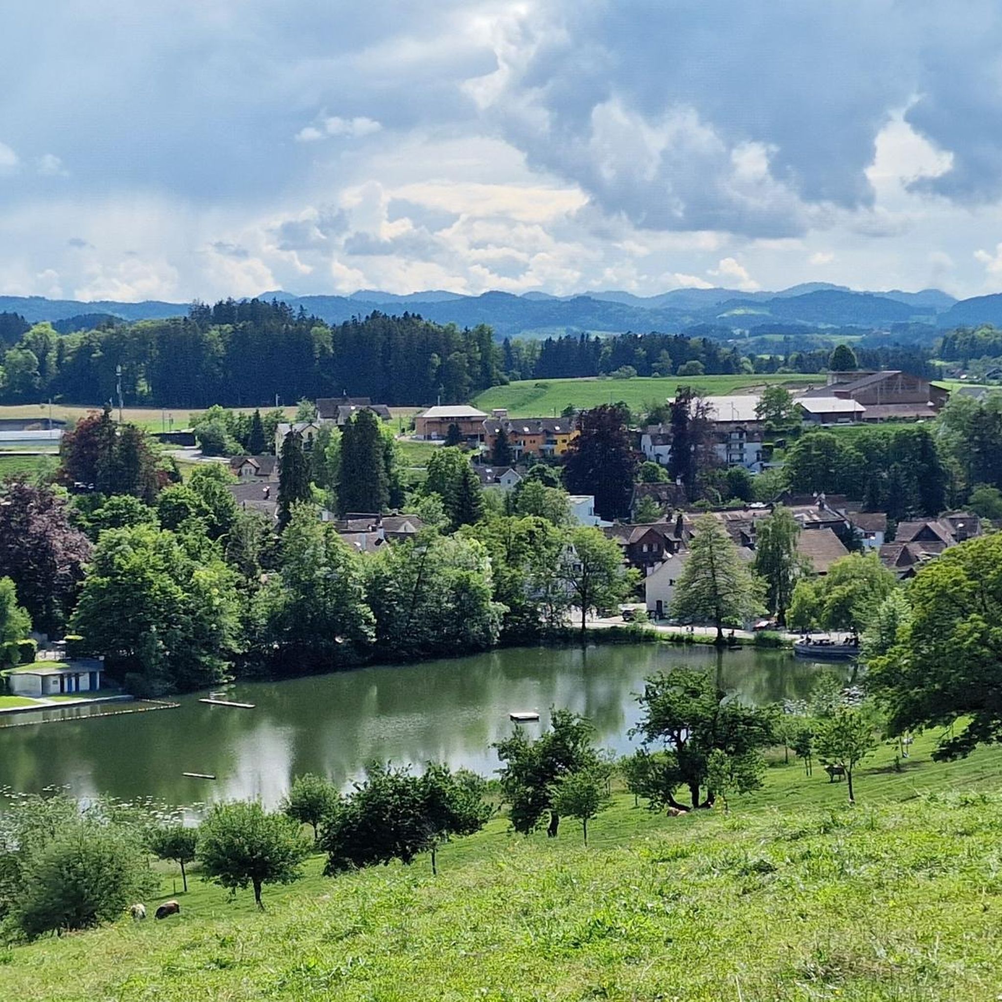
Hiking trails around Hauptwil-Gottshaus traverse a landscape characterized by diverse natural features and varied terrain. The region features several serene bodies of water, collectively known as the Hauptwiler ponds, which form an idyllic nature reserve. Trails often lead through forests and orchards, offering a mix of gentle paths and more challenging sections. The area provides a range of elevation changes suitable for different fitness levels.
Best hiking trails around Hauptwil-Gottshaus
- The most popular hiking route is Horbacher Pond – Hauptwiler…
Last updated: October 1, 2026
4.6
(28)
101
hikers
8.93km
02:26
140m
140m
Moderate hike. Good fitness required. Easily-accessible paths. Suitable for all skill levels.
4.4
(16)
52
hikers
9.03km
02:27
120m
120m
Moderate hike. Good fitness required. Easily-accessible paths. Suitable for all skill levels.

4.8
(22)
67
hikers
8.84km
02:25
130m
130m
Moderate hike. Good fitness required. Easily-accessible paths. Suitable for all skill levels.
4.6
(17)
44
hikers
3.85km
01:03
60m
60m
Easy hike. Great for any fitness level. Easily-accessible paths. Suitable for all skill levels.
4.5
(4)
20
hikers
12.6km
03:28
210m
210m
Moderate hike. Good fitness required. Easily-accessible paths. Suitable for all skill levels.
Get access to more routes and recommendations from other explorers.
Already have an account?
Our route recommendations are based on thousands of hikes, rides, and runs completed by other people on komoot.
Start today with a free account
Your next adventure awaits.
Tips from the Community

Currently (3/26) out of service until further notice...
3
0

A relaxing place, also suitable for a short walk.
0
0


Interesting little town with a beautiful castle and a pond.
0
0

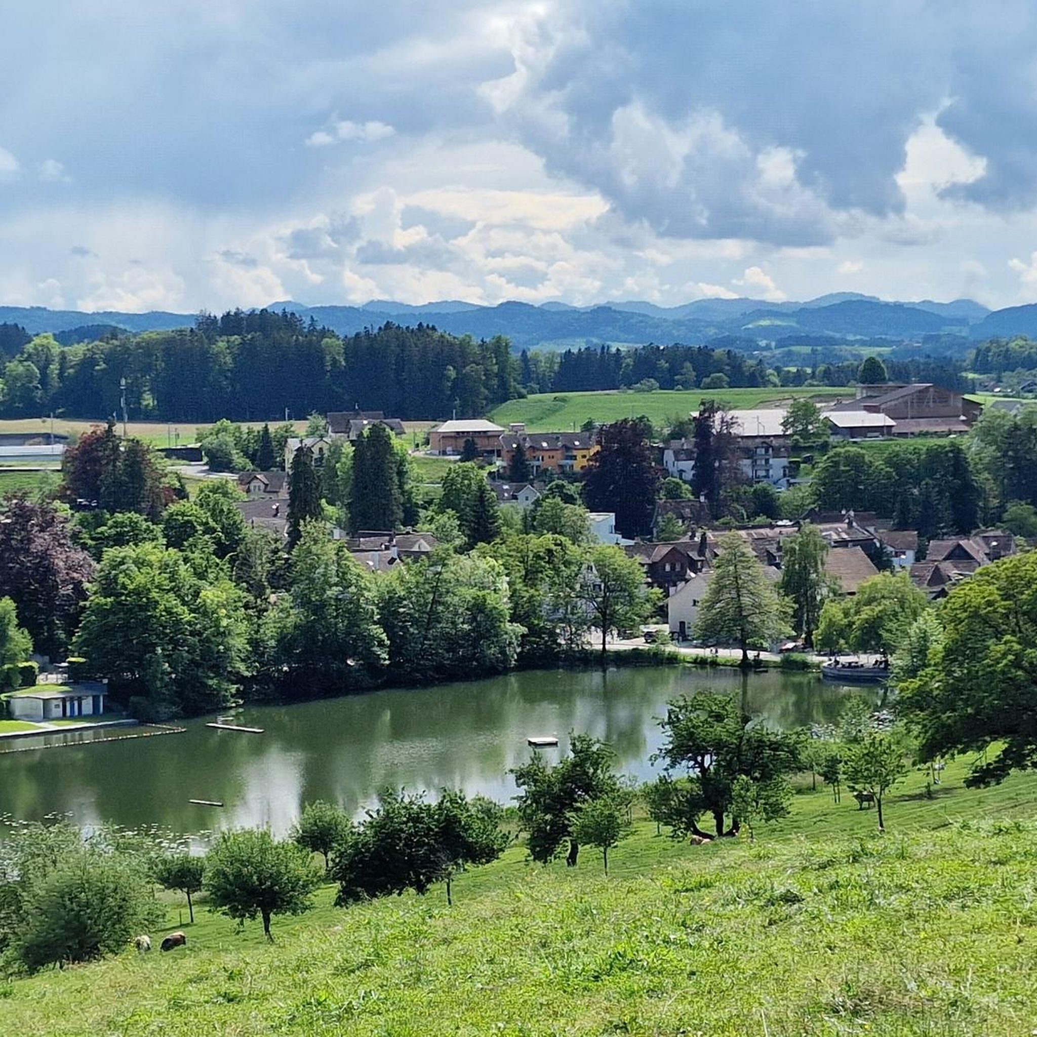
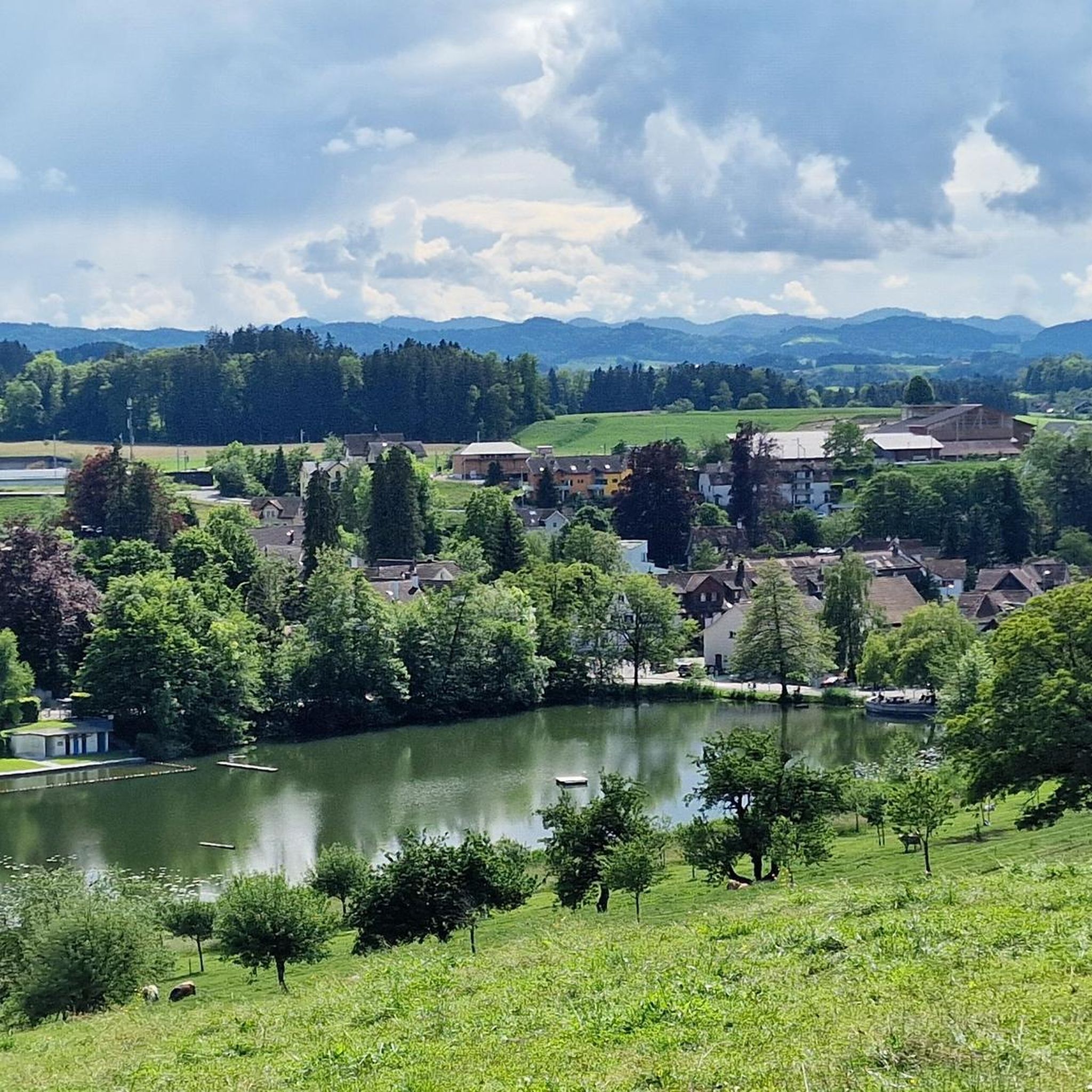
Take your swimsuit with you or simply cool off in the shade under the trees on the lakeshore with drinks or ice cream from the mobile kiosk.
1
0
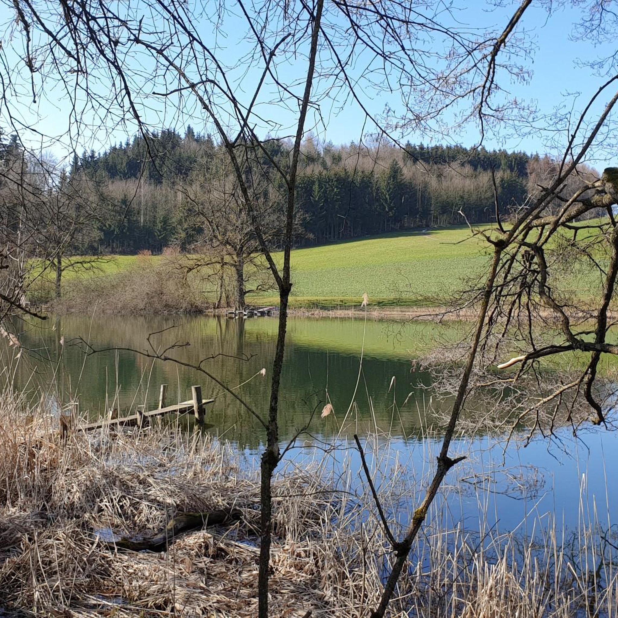
Interesting pond, barbecue facilities nearby.
1
0

Toilet, food, view, especially view
1
0
Frequently Asked Questions
How many hiking trails are available in Hauptwil-Gottshaus?
Hauptwil-Gottshaus offers a diverse network of over 20 hiking trails. These routes cater to various fitness levels, from leisurely strolls to more challenging treks through forests and orchards.
What are the general difficulty levels of hikes in Hauptwil-Gottshaus?
The trails around Hauptwil-Gottshaus offer a range of difficulties. You'll find 7 easy routes perfect for a relaxed walk, 13 moderate trails that provide a good workout, and 1 more challenging route for experienced hikers.
What natural features can I explore while hiking in Hauptwil-Gottshaus?
The region is renowned for its serene bodies of water, collectively known as the Hauptwiler ponds, which form an idyllic nature reserve. These include Horber-Weier, Rütiweier, Horbacher-Weier, Gwand-weier, and Hauptwiler Weiher. Many trails also lead through picturesque orchards and tranquil forests.
Are there any historical landmarks to see on a hike in Hauptwil-Gottshaus?
Absolutely. The historic village of Hauptwil itself is a highlight, featuring the beautiful Schloss Hauptwil. This castle, built between 1664 and 1665, boasts baroque gardens, a herb garden, a lily pond, and a wild meadow orchard. The village received the Wakker Prize in 1999 for its well-preserved historical architecture.
Are there any waterfalls near the hiking trails in Hauptwil-Gottshaus?
Yes, you can discover several waterfalls in the vicinity. Notable spots include the Mühletöbeli Gorge Waterfall and a Waterfall with a picnic area. The Hohlen Stein Gorge also offers impressive natural scenery.
Can I find viewpoints or scenic spots on the trails?
Yes, the region offers several elevated points with great views. You can find scenic viewpoints such as Nollen and Tannenberg, which provide panoramic vistas of the surrounding landscape.
Are there easy or family-friendly hiking options in Hauptwil-Gottshaus?
Yes, there are 7 easy routes suitable for families or those looking for a relaxed walk. A great option is the Hauptwiler Weiher – Horbacher Pond loop from Bischofszell, which is 2.3 miles (3.7 km) long and takes about 1 hour to complete, leading through the serene pond landscape.
Are there any circular walks in Hauptwil-Gottshaus?
Many trails in Hauptwil-Gottshaus are designed as circular routes, allowing you to start and end in the same location. A popular choice is the Horbacher Pond – Hauptwiler Weiher loop from Hauptwil-Gottshaus, a moderate 5.8 miles (9.3 km) trail that explores the tranquil pond area.
What do other hikers enjoy most about hiking in Hauptwil-Gottshaus?
The area is highly rated by the komoot community, with an average score of 4.6 stars from over 700 reviews. Hikers often praise the serene pond landscapes, varied terrain including forests and orchards, and the well-maintained paths suitable for different ability levels.
Are there longer or more challenging hikes available?
For those seeking a longer adventure, the Hauptwil Pond – Hauptwiler Weiher loop from Hauptwil covers 8 miles (12.9 km) with over 200 meters of elevation gain, offering a moderate challenge. Additionally, there is one difficult route in the region for experienced hikers.
Is public transport available to access hiking trails?
While specific public transport details for each trailhead are not provided, the region is generally accessible. The 'Gossau - St. Pelagiberg - Hauptwil Route' mentioned in regional research suggests connections between towns, implying public transport options might be available to reach starting points.
What is the best time of year to hike in Hauptwil-Gottshaus?
The region's diverse landscapes, including orchards and forests, make it enjoyable across multiple seasons. Spring and autumn offer vibrant colors and pleasant temperatures, while summer is ideal for enjoying the serene ponds. Winter hikes are also possible, though conditions may vary.
Most popular routes around Hauptwil-Gottshaus
Most popular attractions around Hauptwil-Gottshaus

Get inspired with the komoot mobile app


Explore more
Browse the best Hikes in other regions.
