The 20 Most Amazing Peaks around Unterleinleiter
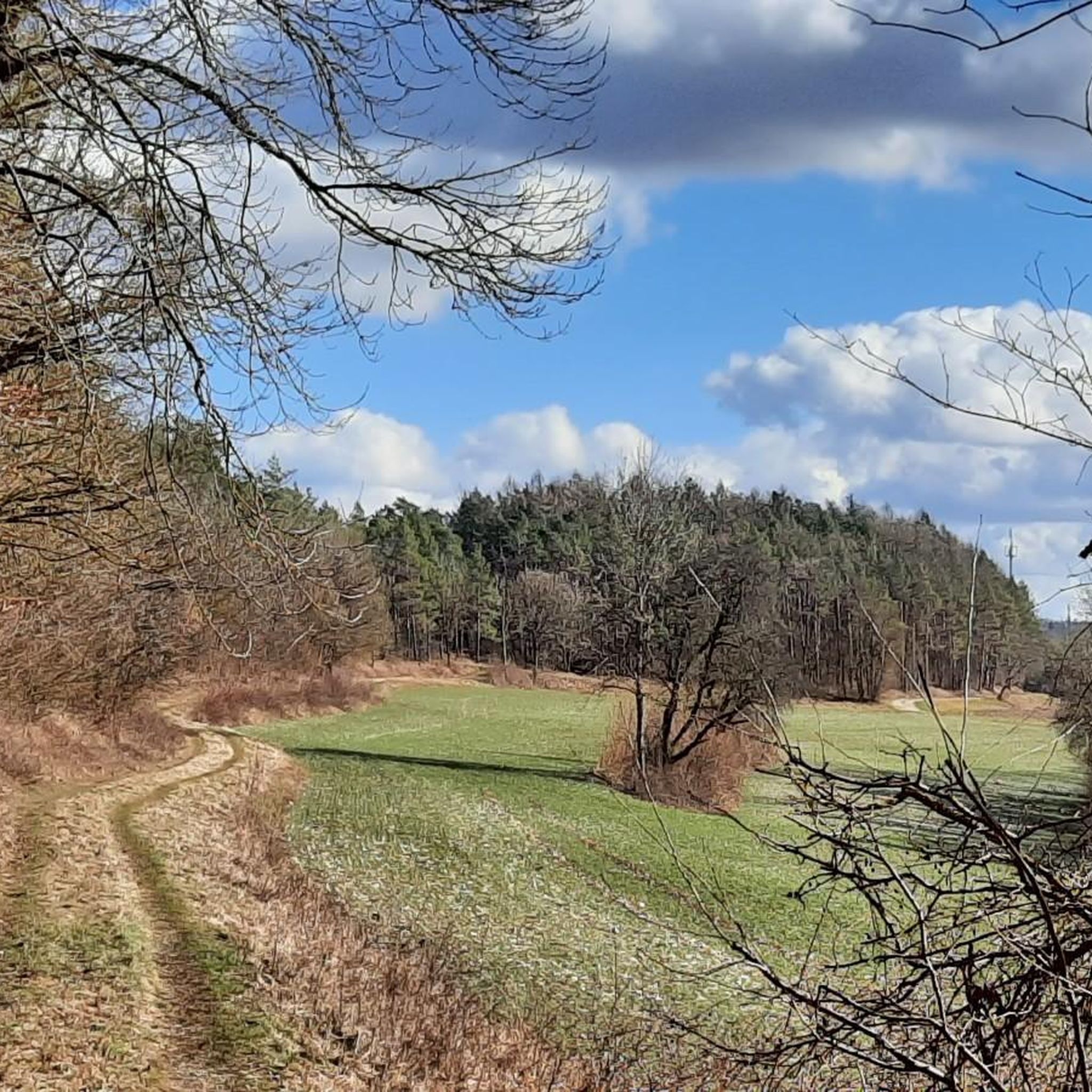
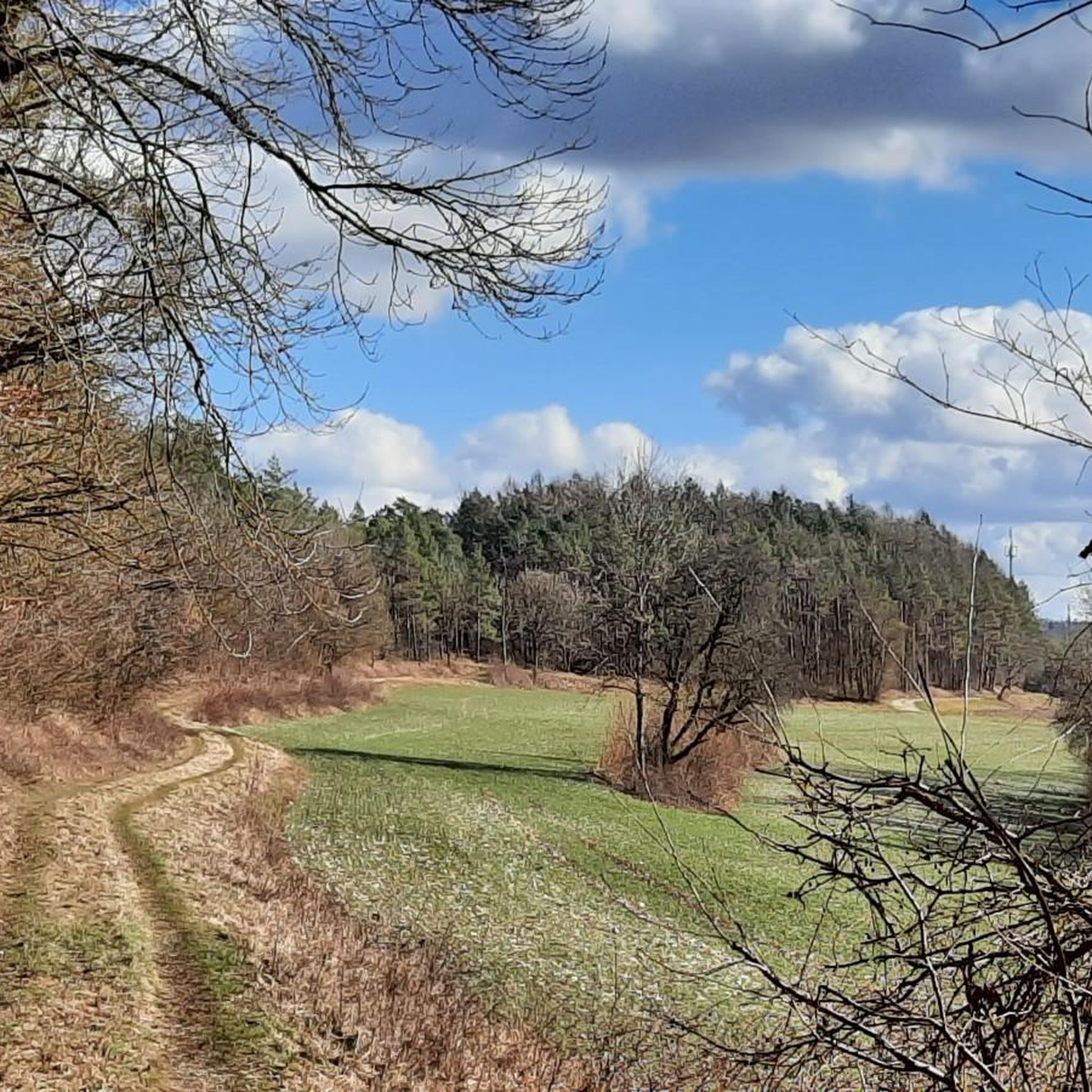
Best mountain peaks around Unterleinleiter are characterized by the rolling hills and dense forests of the Franconian Jura in Bavaria. This region features elevated areas and natural formations, offering scenic views within its unique karst landscape. While not alpine in scale, these spots are popular for hiking and exploring the natural beauty. The area provides varied routes through enchanting scenery, ideal for outdoor activities.
Best mountain peaks around Unterleinleiter
- The most popular mountain peaks is Nice view of the "Steinerne…
Last updated: May 11, 2026
Hohes Kreuz Observation Tower
Highlight • Viewpoint
Translated by Google •
Tip by

View of the Wiesent Valley from the Walberla
Highlight • Viewpoint
Translated by Google •
Tip by

Sign up now to discover places like this
Get recommendations on the best single tracks, peaks, & plenty of other exciting outdoor places.
Sign up for free
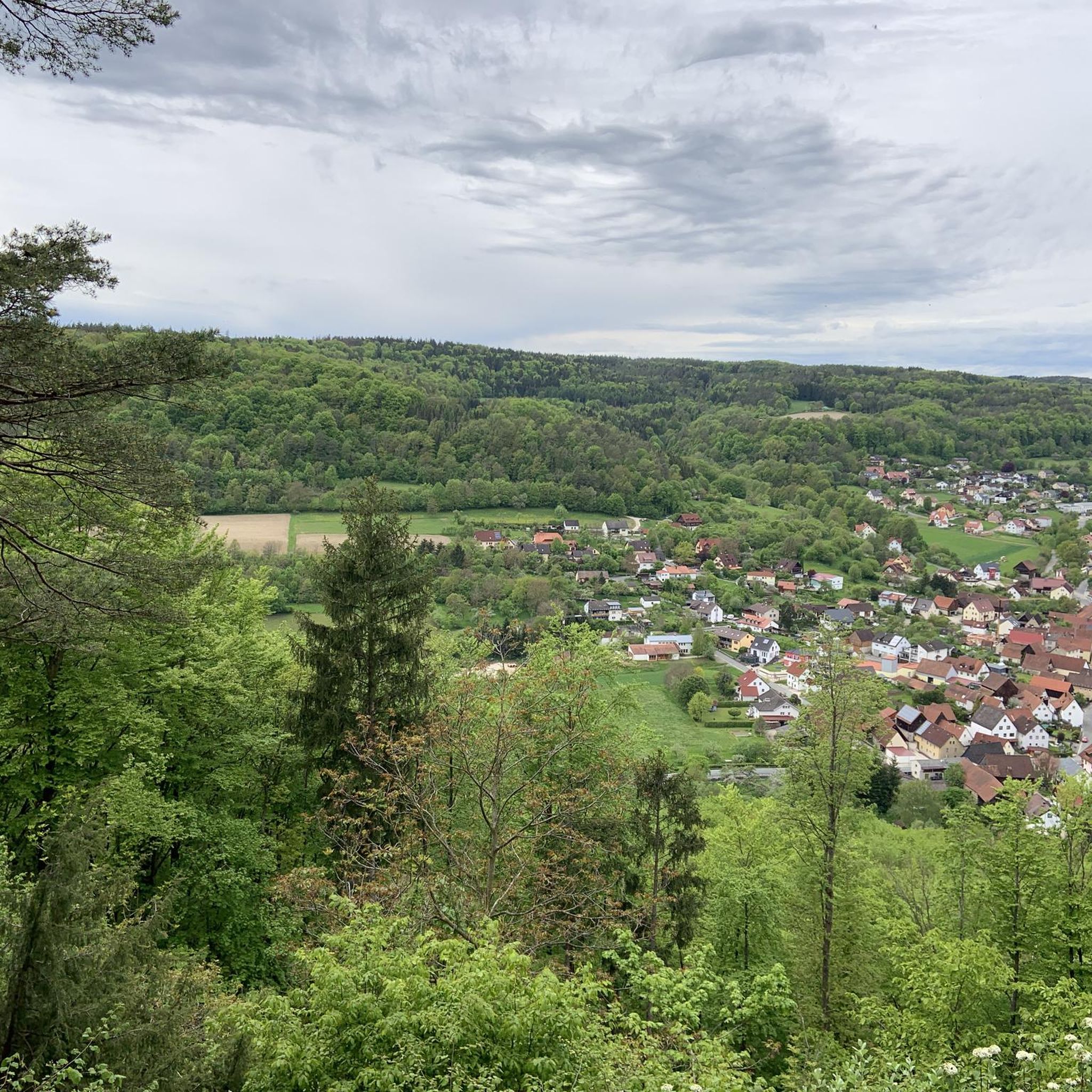
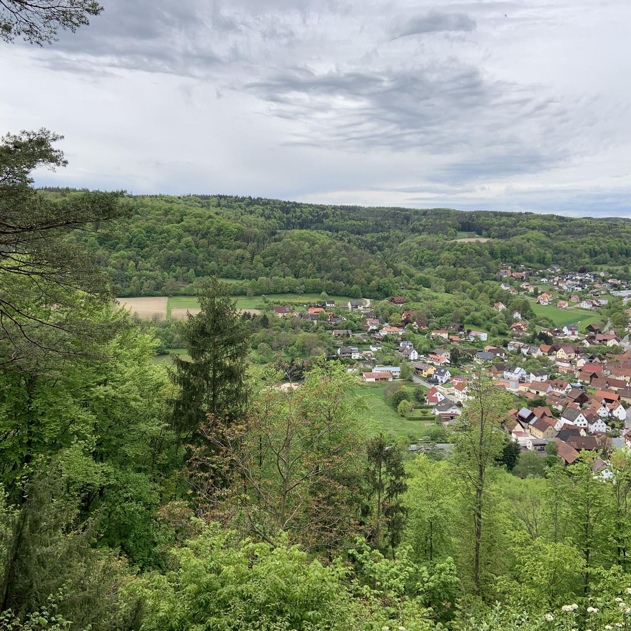
View of Kirchehrenbach from the Pre-Summit Cross
Highlight • Viewpoint
Translated by Google •
Tip by
Rock formations on the Ehrenbürg (Walberla)
Highlight • Natural Monument
Translated by Google •
Tip by

Nice view of the "Steinerne Frau"
Highlight • Natural Monument
Translated by Google •
Tip by

Sign up for free to discover even more peaks around Unterleinleiter.
Sign up for free
Already have an account?
Start today with a free account
Your next adventure awaits.
Login or Signup
Tips from the Community

Fascinating rock formations at the Franconian landmark Walberla.
1
0

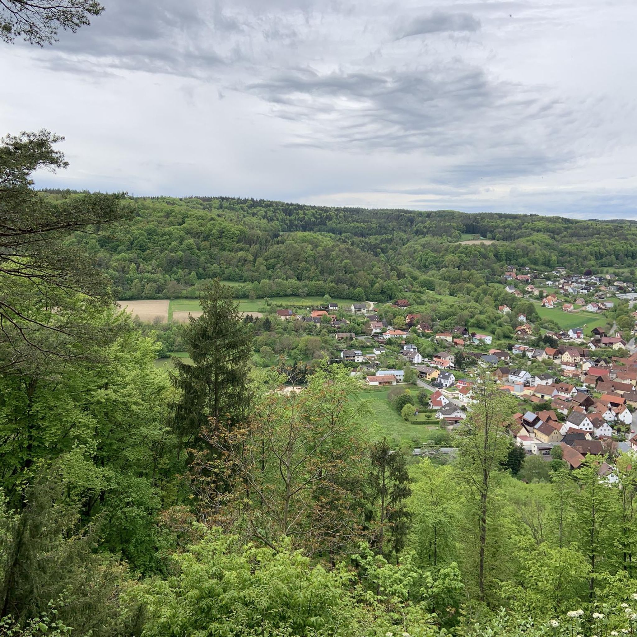
At almost any time of the year you have a beautiful view of Kirchenehrenbach and the surrounding region from here
5
0

Stone woman, well I would say it's a fat sleeping witch 😂
6
4

There is a bench just below the tower. Ideal for snacks.
15
0

Looks like a rhino. These stones are awesome!
6
4
From here you have the first view. Now it's not far up 🤗 catch one more breath on the bench and let's go!
6
0

Just one of several interesting rock formations in Ehrenbürg
8
1

With its new (built in 2012), 12-meter-high observation tower, the Hohe Kreuz – the highest point of the "hollow mountain" (522 + 12 m) – is now on par with the Adlerstein in height. The view extends over 270° from the Wiesent Valley with the Neideck, across the Aufseß Valley, to the Ochsenkopf in the Fichtel Mountains, and eastward into the Upper Palatinate region – on a clear day! https://www.fraenkische-schweiz.com/detail/id=5f5773735f7f9b38066ef2d9
16
0
Frequently Asked Questions
What kind of landscape can I expect when exploring the elevated areas around Unterleinleiter?
The region around Unterleinleiter, part of the Franconian Jura, is characterized by rolling hills, dense forests, and a unique karst landscape. While not alpine in scale, you'll find numerous elevated areas and natural formations offering scenic views and varied hiking routes through enchanting scenery.
What are some of the most popular viewpoints and natural formations around Unterleinleiter?
Visitors particularly enjoy the Nice view of the "Steinerne Frau", a prominent natural monument formed by the weathering of dolomite. Another favorite is the View of the Wiesent Valley from the Walberla, offering a phenomenal 360-degree panoramic vista. The Hohes Kreuz Observation Tower on the Hohlen Berg also provides excellent all-round views, especially near the Oswaldhöhle.
Can I visit the Oswald Cave near Unterleinleiter?
Yes, the Oswald Cave (Oswaldhöhle) is located within the Hollow Mountain (Hohler Berg), east of Muggendorf. It's an easily accessible karst cave and a significant geotope. You can explore this passage cave, though a flashlight is recommended due to varying heights. The Hohes Kreuz Observation Tower is also nearby.
Where can I find impressive rock formations in the area?
The Franconian Jura is known for its unique rock formations. You can discover interesting rock and rock formations all over the Ehrenbürg, also known as Walberla. The "Steinerne Frau" is a prime example of a rock tower formed by dolomite weathering, and the Rock formations on the Ehrenbürg (Walberla) are particularly interesting and inspire mystical stories.
Are there family-friendly hiking options around Unterleinleiter?
Yes, the region offers several options suitable for families. The Staffelberg, a significant mountain in the broader Franconian region, has a circular trail particularly suitable for families, offering a manageable 7-kilometer route. Additionally, the View of Kirchehrenbach from the Pre-Summit Cross is a family-friendly viewpoint with benches to rest and enjoy the scenery.
When is the best time of year to hike the elevated areas around Unterleinleiter?
The landscape around Unterleinleiter is ideal for hiking during spring, when numerous flowers bloom, and in autumn, with its colorful deciduous forests. These seasons offer enchanting scenery and pleasant temperatures for exploring.
What hiking trails are available near the elevated areas of Unterleinleiter?
There are many hiking opportunities. For example, you can explore routes like the "Leidingshofer Valley – Veilbronn Cliff loop" or "The beautiful Kellerweg – View West from Hummerstein loop." You can find more details and routes on the Hiking around Unterleinleiter guide.
Are there options for road cycling near the peaks of Unterleinleiter?
Absolutely! The area offers various road cycling routes. Popular options include the "Würgauer Berg Climb – View of Oberaufseß Castle loop" and the "Leinleiter Cycle Path – View of Neideck Castle Ruins loop." Discover more routes on the Road Cycling Routes around Unterleinleiter guide.
What are some challenging mountain hikes in the region?
For those seeking more challenging mountain hikes, consider routes like the "Hohes Kreuz Observation Tower – Riesenburg Collapse Cave loop from Muggendorf," which is rated as difficult. Other moderate options include the "Kuchenmühle in the Aufseß Valley – Hohes Kreuz Observation Tower loop." More details are available in the Mountain Hikes around Unterleinleiter guide.
Are there any quiet, wild romantic nature spots to discover?
Yes, the Totenstein rock massif, located in the Leidingshofer Valley between Heiligenstadt and Leidingshof, is known as a wonderfully quiet and wild romantic nature reserve. An "enchanted-looking trail" runs above the rock massif, offering undisturbed nature, high Jurassic rock walls, and a sense of peace.
What do visitors enjoy most about the elevated areas around Unterleinleiter?
Visitors appreciate the diverse natural beauty, the panoramic views from various viewpoints like the Walberla, and the unique geological features such as the "Steinerne Frau". The opportunity for varied hiking through enchanting scenery, especially in spring and autumn, is also highly valued.
Most popular routes around Unterleinleiter
Most popular attractions around Unterleinleiter

Get inspired with the komoot mobile app


Explore more
See even more amazing summits around Unterleinleiter with these guides:
