The 20 Most Amazing Peaks around Creußen
Best mountain peaks around Creußen are found within a landscape of rolling hills and verdant forests in Bavaria, Germany. While traditional towering peaks are not directly within the town, the area features several elevated points and viewpoints popular for hiking. These locations offer panoramic vistas of the surrounding region, including the Upper Rotmain Valley. The highest elevation within Creußen reaches 640 meters.
Best mountain peaks around Creußen
- The most popular mountain peaks is Kleiner Kulm Observation Tower, a viewpoint…
Last updated: August 31, 2026
View of Pottenstein and Pottenstein Castle from the Hohe Warte
Highlight • Viewpoint
Translated by Google •
Tip by

Rauher Kulm Lookout Tower
Highlight • Viewpoint
Nicolaus Apel built a wooden observation tower as early as 1807. There was a movable gold-plated sun above …
Translated by Google •
Tip by

Sign up now to discover places like this
Get recommendations on the best single tracks, peaks, & plenty of other exciting outdoor places.
Sign up for free
🏛️ Victory Tower
Highlight • Monument
Translated by Google •
Tip by

Neubürg Plateau and Sculpture Park
Highlight • Viewpoint
Translated by Google •
Tip by

Schlossberg Observation Tower, Pegnitz
Highlight • Viewpoint
Translated by Google •
Tip by

Sign up for free to discover even more peaks around Creußen.
Sign up for free
Already have an account?
Start today with a free account
Your next adventure awaits.
Login or Signup
Popular around Creußen
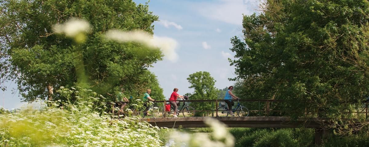
The most beautiful long-distance cycle paths in Franconia
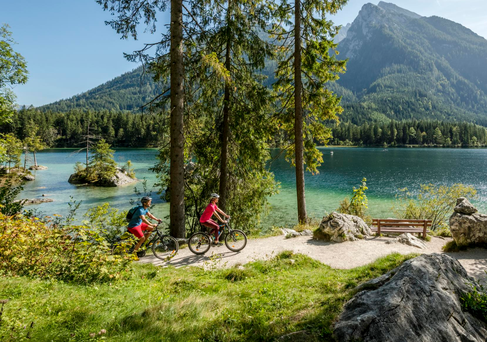
Discover Germany's diversity on enchanting cycling routes
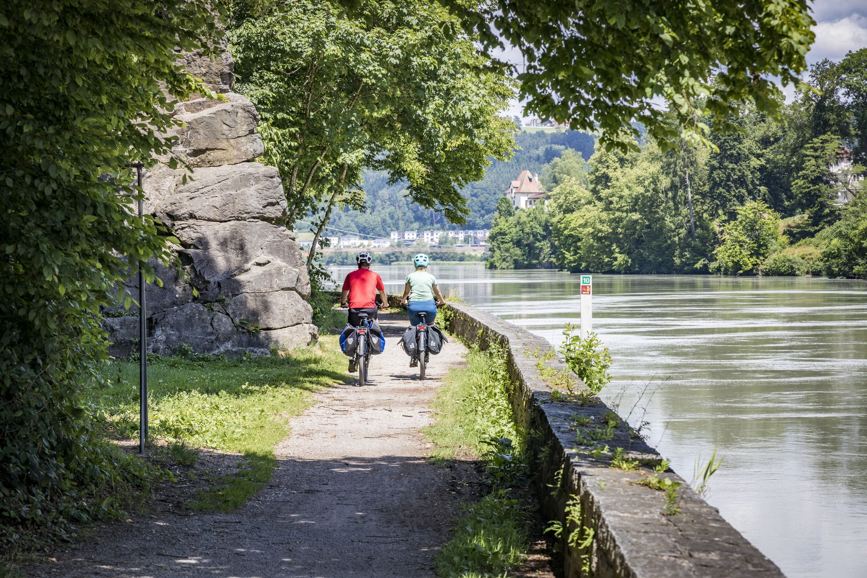
Kilometres of cycling fun – long-distance cycle routes in Bavaria
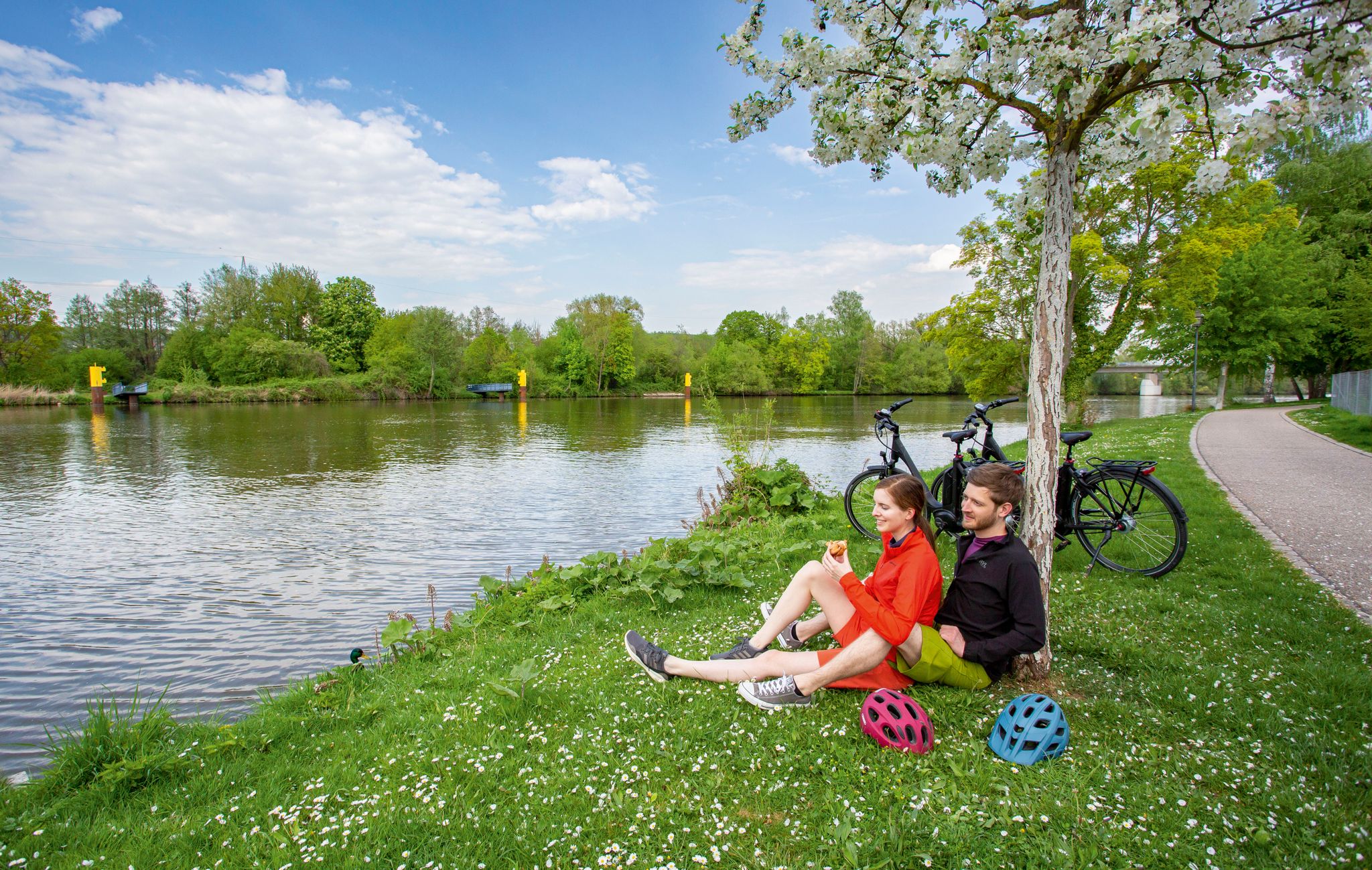
The Main Cycle Route - 12 days of river diversity
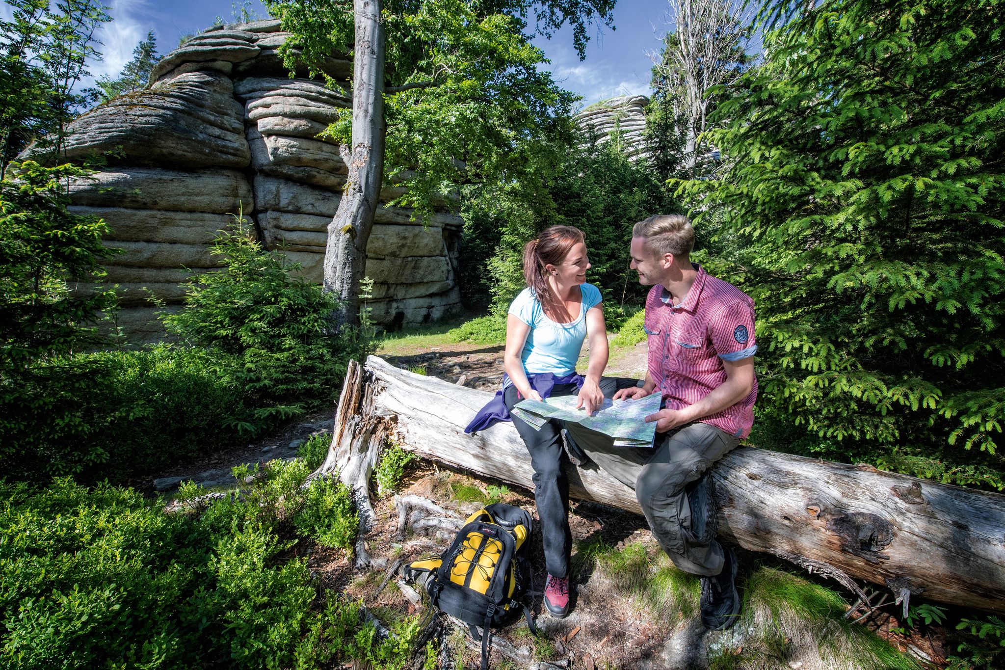
The Franconian Mountain Trail – 21 Stages of Magical Summit Bliss
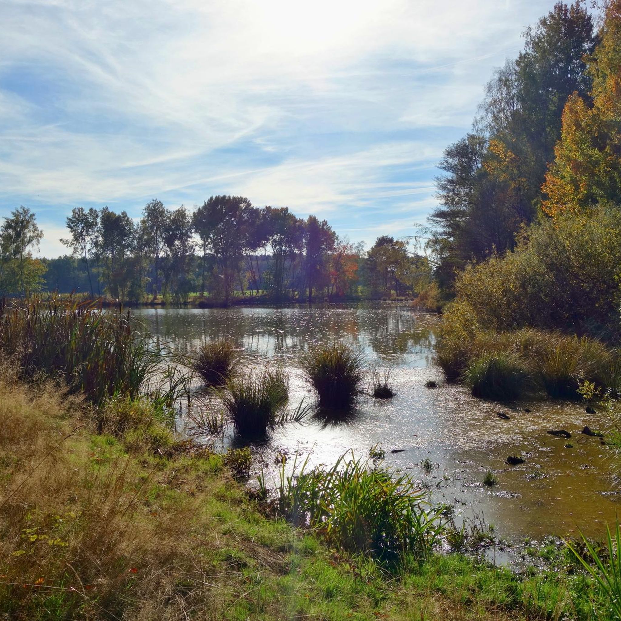
Hiking around Creußen
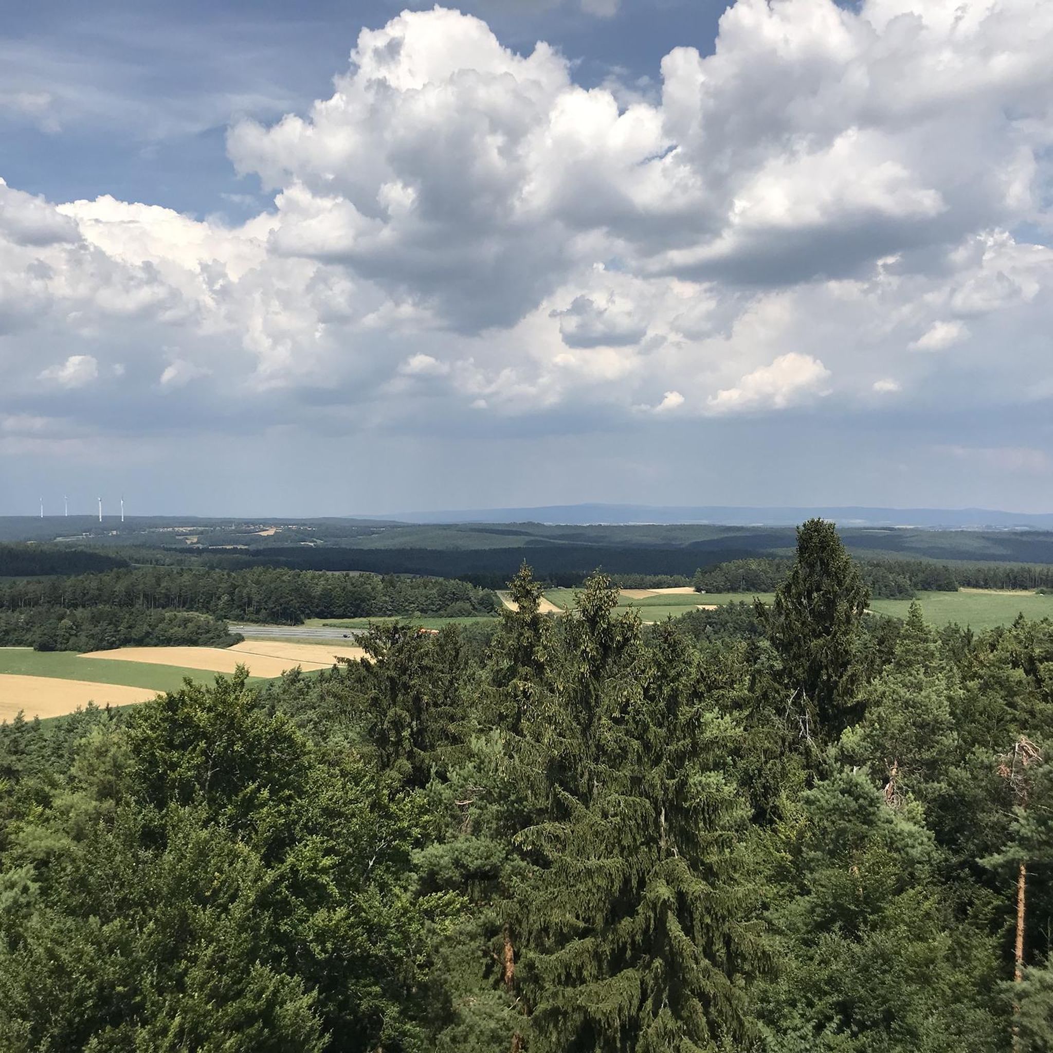
Cycling around Creußen
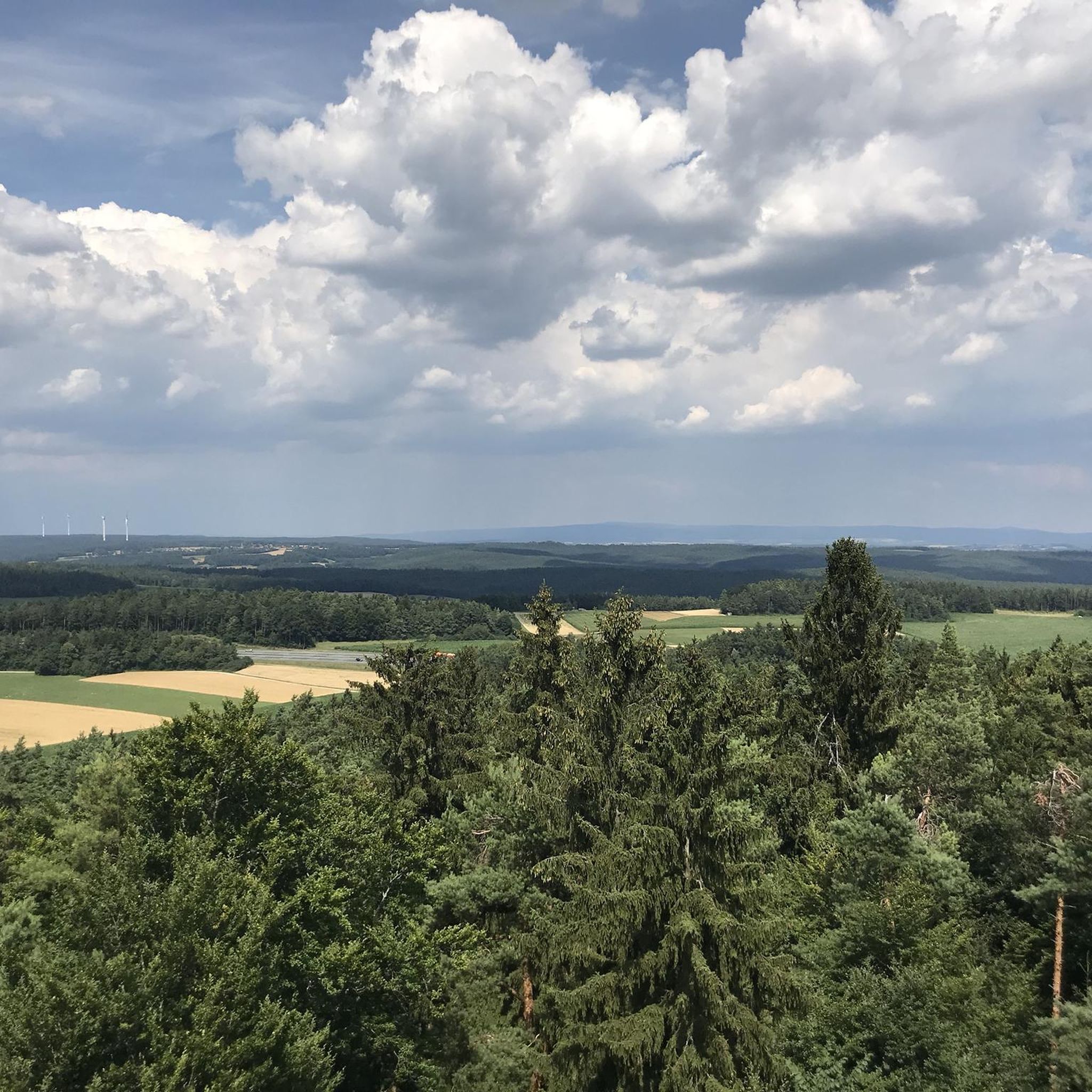
Road Cycling Routes around Creußen
MTB Trails around Creußen

Gravel biking around Creußen
Other adventures around Creußen


Tips from the Community

Beautiful observation tower above Pegnitz with a great panoramic view.
4
0

The Rauhe Kulm rises 682 metres high from the middle of the landscape and is visible from all directions. It is surrounded by the Fichtel Mountains to the north, the Steinwald to the east, the heights of the Franconian Jura to the south and the Franconian Switzerland to the west. It owes its striking shape to its volcanic origins around 20 million years ago. The exposed basalt slopes are a valuable habitat for numerous animals and rare plants. Around 90 different lichens and mosses grow and thrive on the heat-storing basalt boulders. The Rauhe Kulm has been protected as a natural monument since 1909 and has been a nature reserve in accordance with European standards (FFH) for several years. In 2013, the Rauhe Kulm was voted Germany's most beautiful natural wonder.
9
1

The Neubürg table mountain is the second highest elevation in the region at 587 meters, after the Sophienberg (593 meters). It is located in the Mistelgau municipality. The Neubürg was formed in the Jurassic period. The top layer consists of limestone, followed by Ornatenton and iron sandstone. The Neubürg is called a table mountain because it has a flat table surface instead of a dome. Due to the erosion-related formation, the Neubürg is also called an island or witness mountain. It stands like an island in the further eroded environment and "witnesses" the rock layers that previously covered the entire area.
13
3

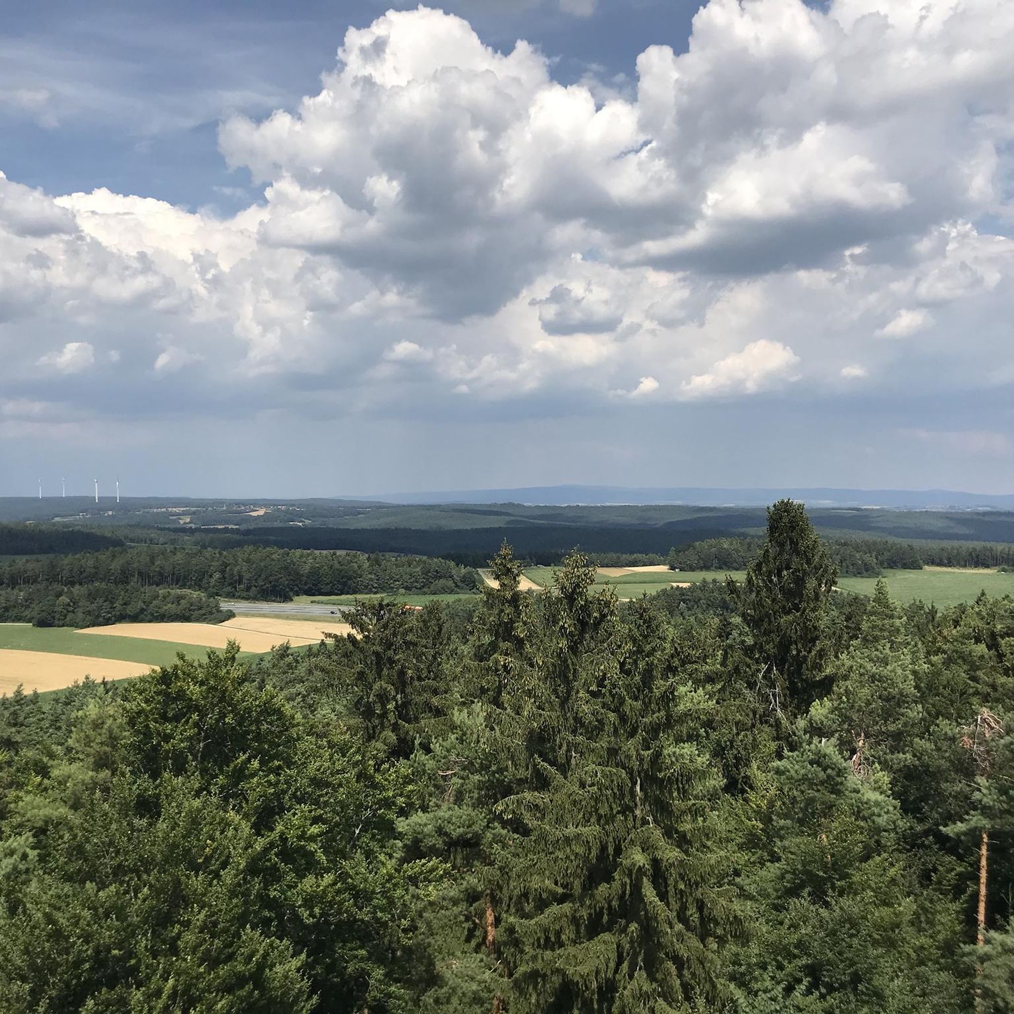
If the visibility is good you can see the Fichtelgebirge.
3
0

Höheimstein Castle once stood here.
5
0

The Hohe Warte with its weather vane was created in 2003 by many volunteers. Now, after 20 years, the red and white weather vane should be given some color again.
11
0

A great view over Pottenstein and the surrounding area reward the ascent.
10
0
At the Festival of Lights you have a great view of the whole fire.
8
0
Frequently Asked Questions
What are some of the most popular elevated points and viewpoints around Creußen?
While Creußen is characterized by rolling hills rather than towering peaks, several elevated points offer impressive views. The Kleiner Kulm Observation Tower is a popular choice, providing expansive views of the Franconian Forest, Fichtel Mountains, and Franconian Switzerland. Another must-see is the Victory Tower, which offers panoramic views over Bayreuth and its surroundings. The Neubürg Plateau and Sculpture Park also provides a beautiful panoramic view into the northeastern Franconian Switzerland.
Are there any historical sites or natural monuments among the elevated points near Creußen?
Yes, several spots combine natural beauty with historical significance. The Victory Tower is a man-made monument offering historical context and great views. The Neubürg Plateau and Sculpture Park is a natural monument and an isolated mountain with a unique history, including its deforested plateau. Additionally, Sophienberg, the highest mountain around Bayreuth, has remnants of a castle and a rich history dating back to Celtic settlements.
What kind of terrain can I expect when hiking the elevated points around Creußen?
The region around Creußen features a picturesque landscape of rolling hills and verdant forests. While not traditional 'mountain peaks,' the elevated points offer varied terrain. For example, the trail to Schlossberg within Creußen is considered relatively easy and suitable for families. Longer trails, such as those to the Drei Tannen Viewpoint, traverse the 'Upper Rotmain Valley,' offering diverse natural environments. The broader surrounding region, like Franconian Switzerland, provides more intense hiking experiences through dense forests and steep ascents.
What is the best time of year to visit the elevated points and viewpoints near Creußen?
The best seasons for hiking and enjoying the elevated viewpoints in Creußen are spring and autumn. During these times, temperatures are pleasant, and the natural scenery is vibrant, making for ideal conditions to explore the rolling hills and forests.
Are there family-friendly hiking options to reach these viewpoints?
Yes, there are family-friendly options. For instance, Schlossberg within Creußen is known for one of the most beautiful hiking routes, considered suitable for families with children due to its relatively easy nature. Many of the viewpoints are accessible via trails that cater to various fitness levels.
What outdoor activities can I do near the elevated points around Creußen?
Beyond hiking to viewpoints, the area around Creußen offers various outdoor activities. You can find numerous running trails, such as those detailed in the Running Trails around Creußen guide. For cyclists, there are extensive Road Cycling Routes and general Cycling routes around Creußen, ranging from easy to difficult.
What kind of views can I expect from the elevated points in the region?
From the elevated points, you can expect expansive panoramic views of the surrounding landscape. For example, the Kleiner Kulm Observation Tower offers views of the Franconian Forest, Fichtel Mountains, and Franconian Switzerland. The Victory Tower provides impressive vistas over Bayreuth, and the Drei Tannen Viewpoint offers broad views of the Upper Rotmain Valley.
What is the highest elevation directly within Creußen?
The highest elevation directly within the town limits of Creußen reaches 640 meters (2,100 ft). This contributes to the area's characteristic rolling hills and elevated viewpoints.
Are there any unique geological features to observe?
Yes, the Muschelkalk Area at Oschenberg is a notable natural monument. The Oschenberg is made up of layers from the Middle and Upper Muschelkalks, which are deposits from a shallow sea that covered Central Europe millions of years ago. This area is significant for its fossil discoveries and unique geological formations.
What do visitors particularly enjoy about the elevated points and trails around Creußen?
Visitors frequently praise the beautiful panoramic views offered from various points, such as the Victory Tower. The rewarding climbs and the diverse natural environment, including the Sculpture Park at Neubürg Plateau, are also highly appreciated. The trails are often described as offering a great blend of nature and scenic outlooks.
Are there any specific trails or routes that lead to these elevated points?
Yes, many elevated points are integrated into hiking routes. For example, the Drei Tannen Viewpoint is accessible via a circular route from Emtmannsberg. The Victory Tower can be reached in about 15 minutes from the Bürgerreuth parking area. These routes often traverse the scenic 'hill and valley' topography of the region.
Most popular routes around Creußen
Most popular attractions around Creußen

Get inspired with the komoot mobile app


Explore more
See even more amazing summits around Creußen with these guides:
