The best walks and hikes around Handenberg
4.6
(762)
4,455
hikers
259
hikes
Hiking around Handenberg features a landscape characterized by gentle hills and rural paths, with routes often passing through park areas and offering distant views. The region's terrain is generally accessible, making it suitable for various hiking abilities. Trails typically involve modest elevation changes, providing a relaxed outdoor experience.
Best hiking trails around Handenberg
- The most popular hiking route is Glacier Edge Trail – View of the Alps loop from Eggelsberg, a 4.6 miles (7.5 km) trail that takes 2…
Last updated: May 20, 2026
5.0
(9)
57
hikers
7.45km
02:01
100m
100m
Moderate hike. Good fitness required. Easily-accessible paths. Suitable for all skill levels.
5.0
(3)
10
hikers
Moderate hike. Good fitness required. Easily-accessible paths. Suitable for all skill levels.

Sign up for free
5.0
(7)
13
hikers
6.26km
01:37
40m
40m
Easy hike. Great for any fitness level. Easily-accessible paths. Suitable for all skill levels.
8
hikers
4.34km
01:08
40m
40m
Easy hike. Great for any fitness level. Easily-accessible paths. Suitable for all skill levels.
7
hikers
Easy hike. Great for any fitness level. Easily-accessible paths. Suitable for all skill levels.
Get access to more routes and recommendations from other explorers.
Sign up for free
Already have an account?
Our route recommendations are based on thousands of hikes, rides, and runs completed by other people on komoot.
Start today with a free account
Your next adventure awaits.
Login or Signup

Tips from the Community

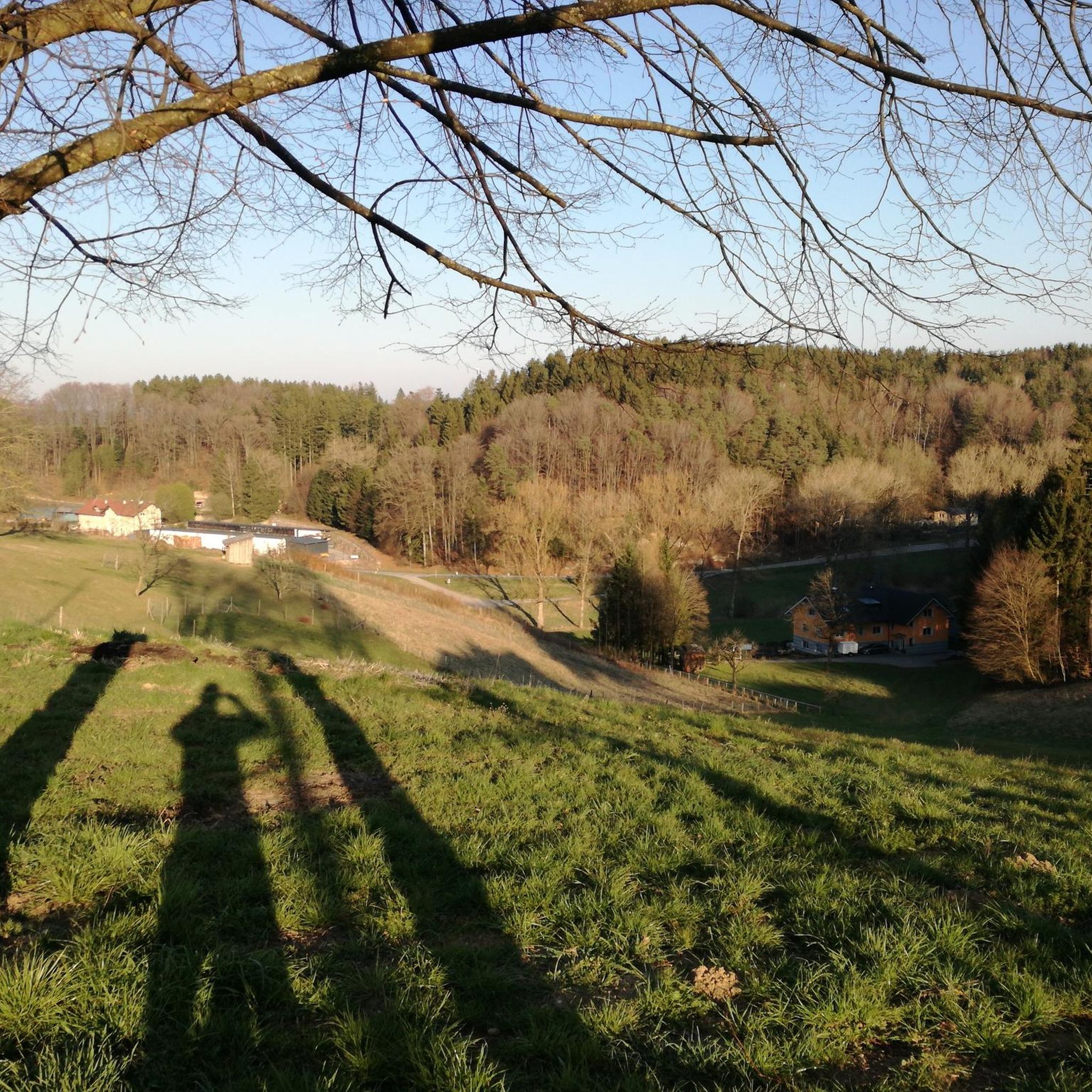
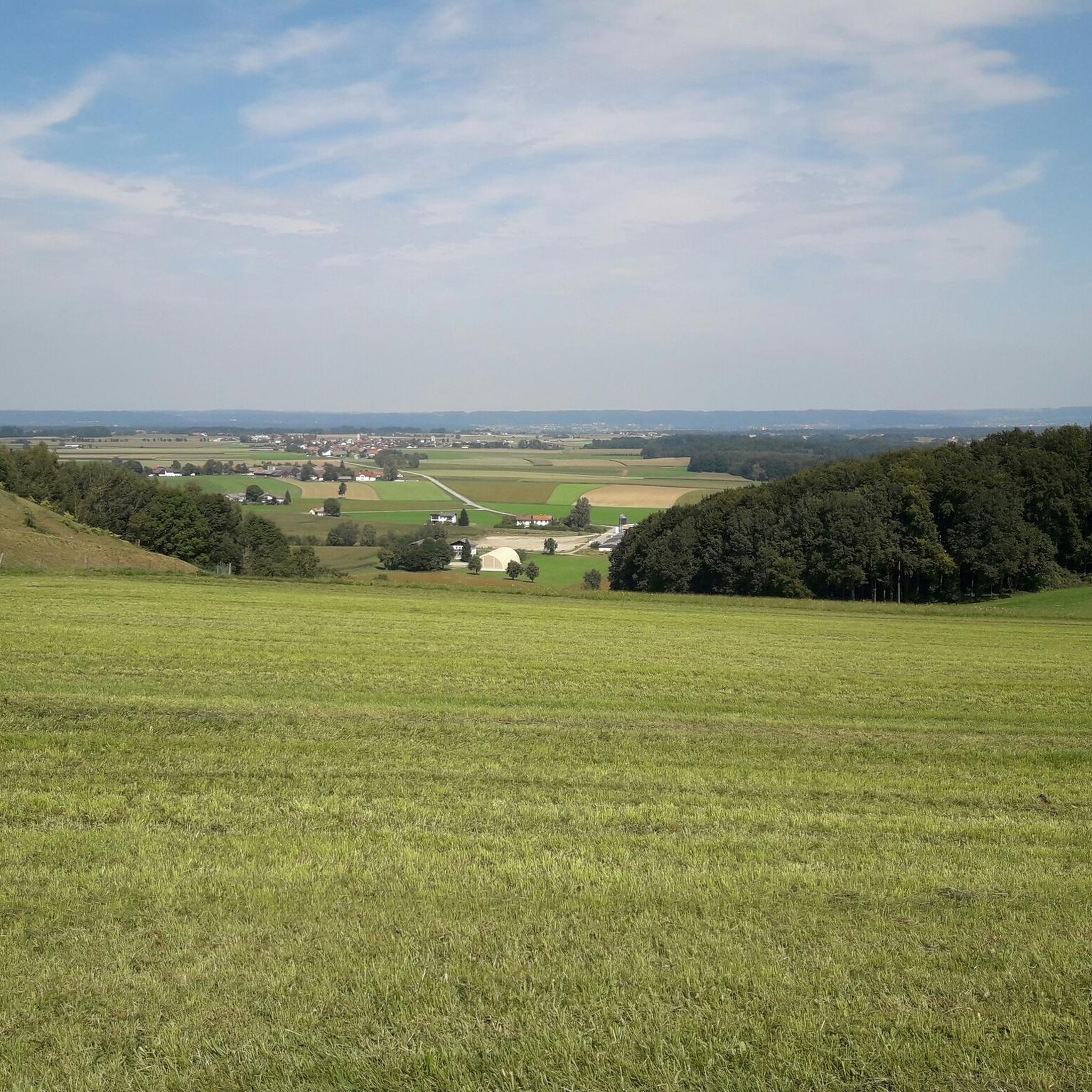
From here you have a wide view of the landscape. And you can enjoy it because the cycle path has nice, smooth asphalt.
2
0

Settlement in the Gilgenberg area dates back at least 2500 years. The earliest finds are attributed to the Hallstatt culture. Burial mounds and a beaked jug found in 1995 date from this period. A Roman estate was probably located near the Hallstatt-era finds. Settlement may have been interrupted during the Migration Period. The beginnings of today's Gilgenberg date back to the 12th century.
0
0

The church stands at the highest point of the town and thus characterizes the townscape from afar.
0
0

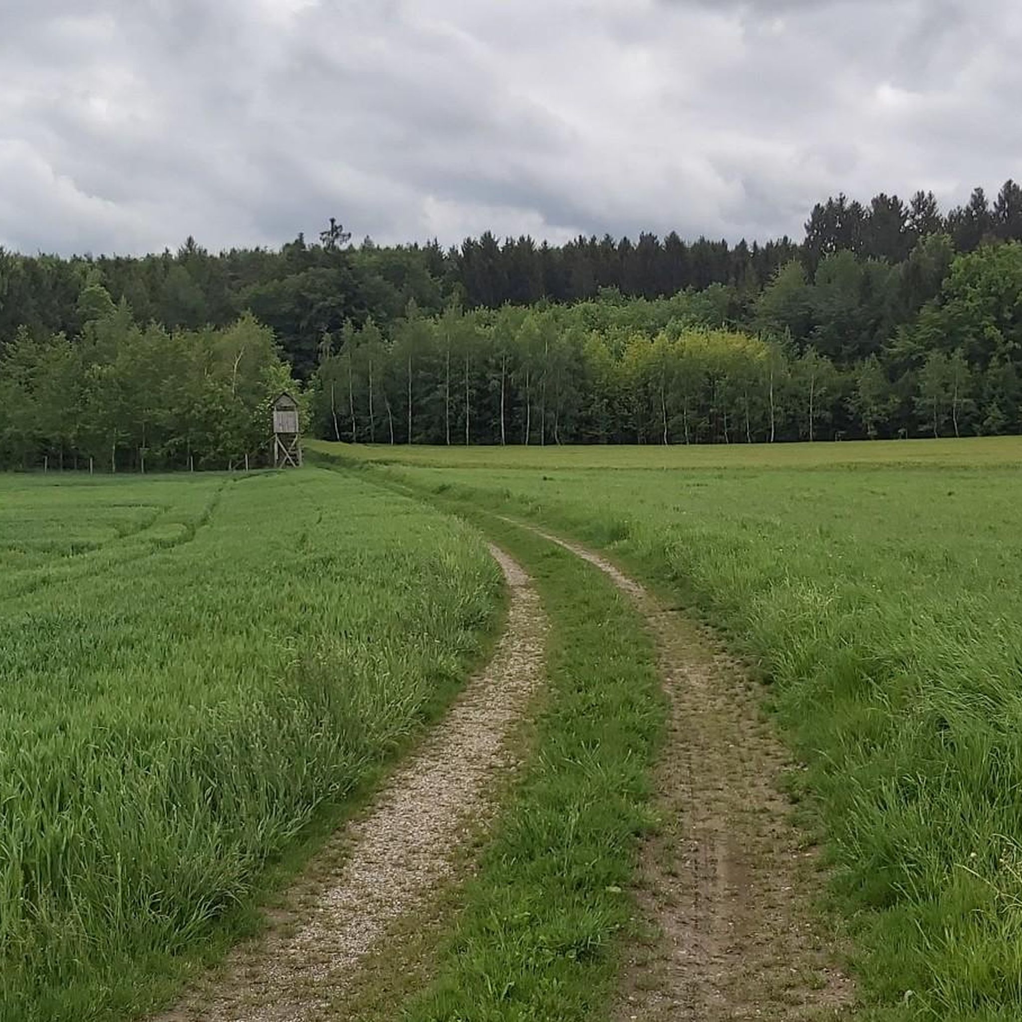
Simply well signposted country lanes Gasthaus Stöger
0
0

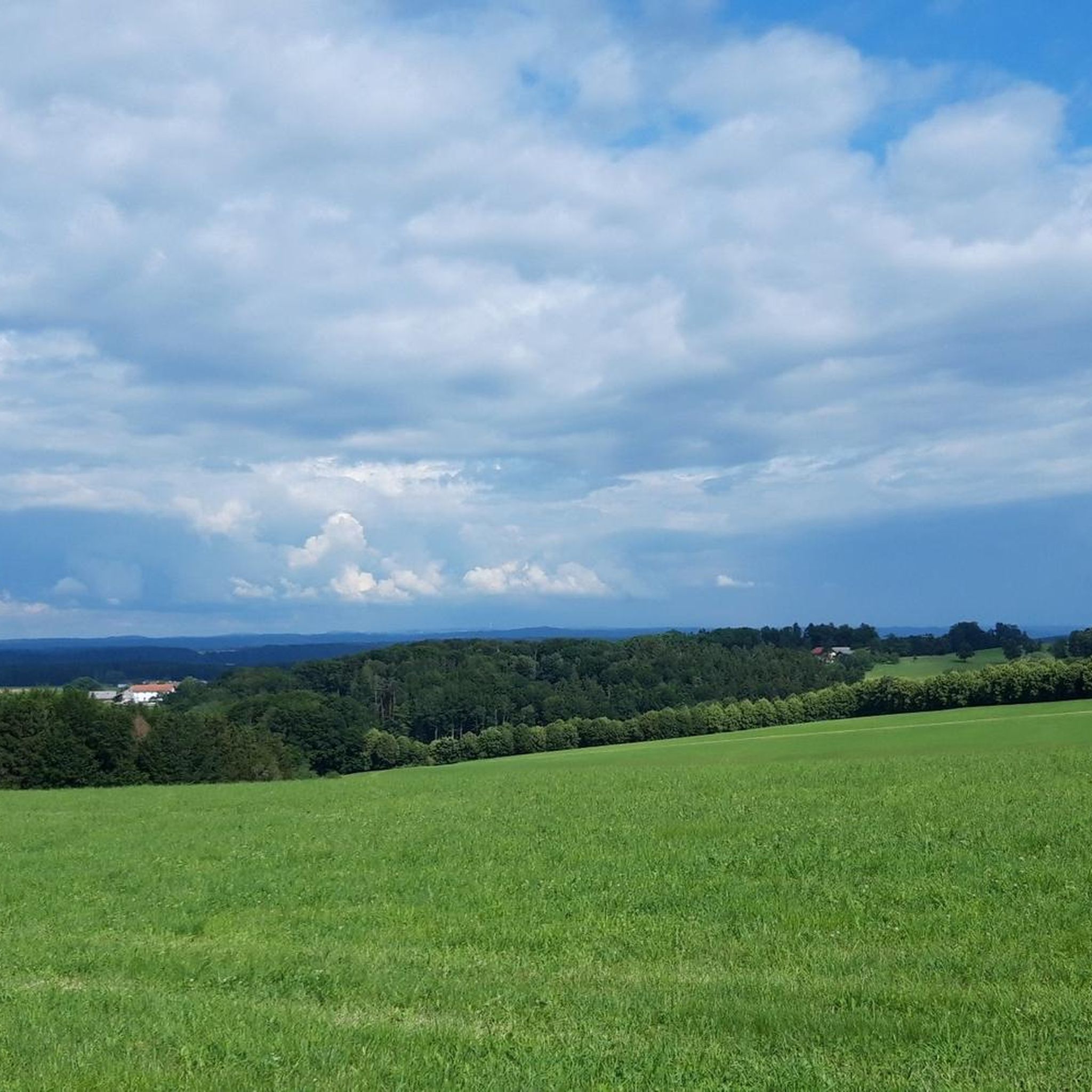
You can take a break on the boulders and relax on the bench. From the edge of the forest you can enjoy a wide view and on an information board you can read interesting things about the geology of the region.
1
0
Frequently Asked Questions
How many hiking trails are available around Handenberg?
There are over 260 hiking routes around Handenberg. The region offers a diverse network of paths, primarily characterized by gentle hills and rural landscapes, suitable for various skill levels.
Are there many easy hiking options in Handenberg?
Yes, Handenberg is well-suited for easy hikes. Out of the over 260 routes, 170 are classified as easy, making the area very accessible for beginners or those looking for a relaxed outdoor experience. An example is the Generations Park loop from Bezirk Braunau, which is 3.9 miles (6.3 km) long and takes about 1 hour 37 minutes.
Can I find circular hiking routes in Handenberg?
Many of the trails in Handenberg are designed as loops, offering convenient circular routes. For instance, the popular Glacier Edge Trail – View of the Alps loop from Eggelsberg is a 4.6-mile (7.5 km) circular path, and the Hiking bench on Trail 28 – Römerstraße loop from Gilgenberg am Weilhart is another excellent circular option.
What kind of views can I expect on hikes around Handenberg?
Hikes around Handenberg often provide scenic vistas, particularly of the distant Alps, especially from higher points. The landscape features gentle hills, rural paths, and park areas, offering a mix of open views and natural surroundings. The Glacier Edge Trail – View of the Alps loop from Eggelsberg is specifically noted for its Alpine views.
Are there any family-friendly hiking trails in the Handenberg area?
Yes, Handenberg offers several family-friendly trails, largely due to its generally accessible terrain and modest elevation changes. Many of the easy routes are suitable for families. The Generations Park loop from Bezirk Braunau, which passes through a park setting, is a great option for families.
What are the typical lengths and durations of hikes in Handenberg?
Hikes in Handenberg vary in length, but many popular routes are between 3 to 5 miles (5 to 8 km) and typically take 1.5 to 2.5 hours to complete. For example, the Parish Church – Teufelweiher loop from Eggelsberg is 4.3 km and takes about 1 hour 8 minutes.
What do other hikers say about the trails in Handenberg?
The trails in Handenberg are highly regarded by the komoot community, holding an average rating of 4.6 stars from over 700 reviews. Hikers frequently praise the well-maintained paths, the peaceful rural atmosphere, and the accessibility of the routes for various fitness levels.
Are there any natural attractions or landmarks to see near the hiking trails?
Yes, the region around Handenberg features several natural attractions. You can explore areas like the Salzach Estuary Bird Sanctuary (Nature Reserve), or visit the Cross Rock on the Salzach. There are also viewpoints such as the View of the confluence of the Inn and Salzach.
Is Handenberg a good destination for winter hiking?
While specific winter trail conditions can vary, the generally gentle terrain and rural paths of Handenberg can be suitable for winter walks, especially on clear days. It's always advisable to check local weather conditions and trail reports before heading out in winter and to wear appropriate footwear and clothing.
Are there any trails that pass by lakes or water features?
While Handenberg itself is characterized by hills and rural paths, there are lakes and water features in the broader surrounding area. For example, you might find trails leading towards or near highlights like Waldsee Simbach am Inn or the Wöhrsee Lido beneath Burghausen Castle, which are part of the wider regional attractions.
What is the best time of year to go hiking in Handenberg?
The best time for hiking in Handenberg is generally from spring through autumn (April to October), when the weather is mild and the natural scenery is at its most vibrant. These seasons offer comfortable temperatures and optimal trail conditions for enjoying the region's gentle hills and rural paths.
Are there any trails with historical significance?
Yes, some routes in the Handenberg area incorporate historical elements. For instance, the Hiking bench on Trail 28 – Römerstraße loop from Gilgenberg am Weilhart follows parts of the ancient Römerstraße, offering a glimpse into the region's past while you hike.
Most popular attractions around Handenberg

Get inspired with the komoot mobile app


Explore more
Browse the best Hikes in other regions.
