The best running trails in San Pablo Etla
4.5
(22)
274
runners
7
runs
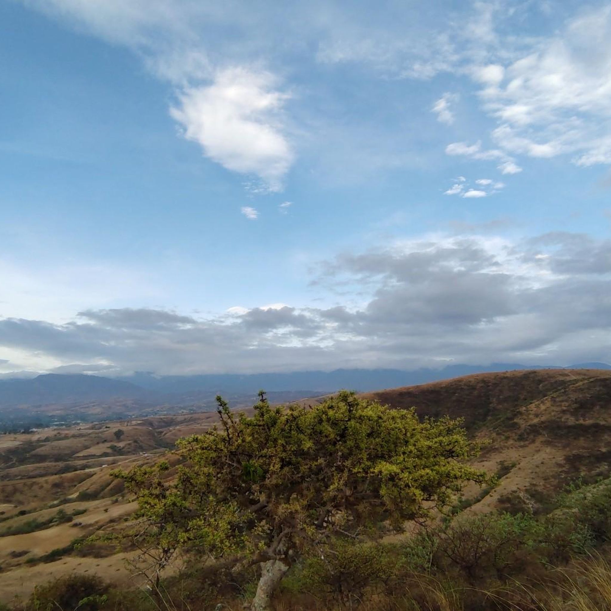
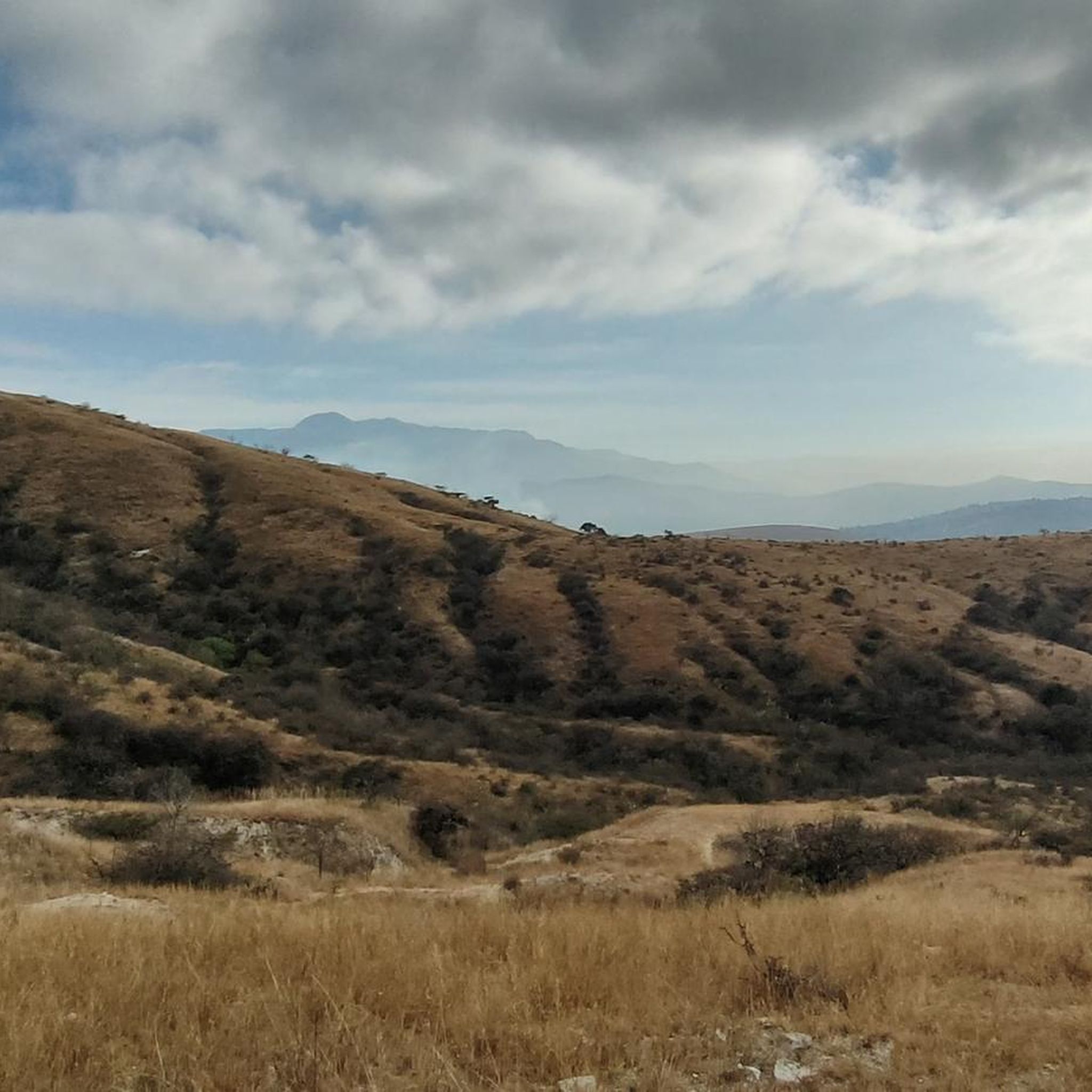
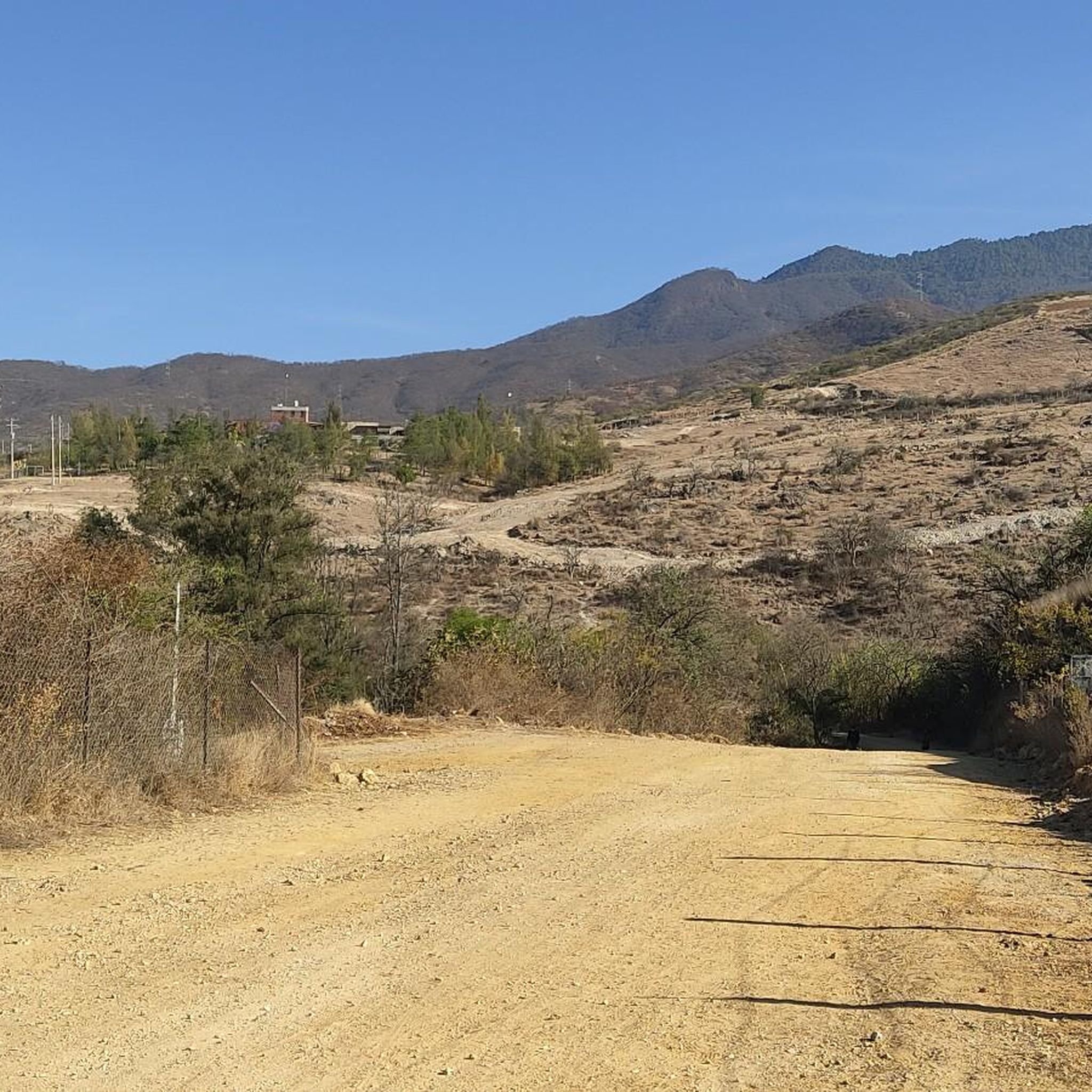
Jogging in San Pablo Etla offers routes through a diverse landscape characterized by mountainous terrain, transitioning from scrubland to oak and pine forests. The region, located in the foothills of the Sierra Madre, features significant elevation changes suitable for varied running experiences. Trails often lead through communally owned mountain forest, part of a nature reserve. This area provides a network of paths for runners seeking natural environments away from urban settings.
Best jogging routes in San Pablo Etla
- The most…
Last updated: July 5, 2026
4.6
(10)
101
runners
7.27km
00:55
290m
290m
Hard run. Good fitness required. Sure-footedness, sturdy shoes and alpine experience required.
11
runners
6.36km
00:45
210m
210m
Moderate run. Good fitness required. Mostly paved surfaces. Suitable for all skill levels.

Sign up for free
4.0
(1)
18
runners
5.20km
00:42
230m
230m
Hard run. Good fitness required. Sure-footedness, sturdy shoes and alpine experience required.
8
runners
9.24km
00:59
130m
130m
Moderate run. Good fitness required. Mostly paved surfaces. Suitable for all skill levels.
6
runners
10.3km
01:09
190m
190m
Moderate run. Good fitness required. Mostly paved surfaces. Suitable for all skill levels.
Get access to more routes and recommendations from other explorers.
Sign up for free
Already have an account?
Our route recommendations are based on thousands of hikes, rides, and runs completed by other people on komoot.
Start today with a free account
Your next adventure awaits.
Login or Signup
Popular around San Pablo Etla
Tips from the Community

The steps take you to Oaxaca's local mountain, Cerro del Fortín, just outside the center. From the top you are rewarded with a magnificent view of Oaxaca. However, you should not go up in the dark.
0
0
Frequently Asked Questions
What kind of terrain can I expect on the running routes in San Pablo Etla?
The running routes in San Pablo Etla offer a diverse landscape, transitioning from scrubland to cooler oak zones and eventually into pleasant pine forests. The region is in the foothills of the Sierra Madre, so you can expect mountainous terrain with significant elevation changes, providing varied running experiences.
Are there any easy running routes suitable for beginners in San Pablo Etla?
While many routes feature elevation changes, there are options for different ability levels. For a moderate experience, consider the Fuente de las Ocho Regiones loop from Colonia Reforma, which is about 9.4 km and takes approximately 1 hour. Another moderate option is the Running loop from San Lorenzo Cacaotepec, a 10.3 km path winding through varied ecosystems.
What are some challenging running trails for experienced runners in San Pablo Etla?
For those seeking more challenging runs, San Pablo Etla offers trails with significant elevation gain. The Running loop from Oaxaca City, for example, is a 7.7 km trail leading through challenging terrain with nearly 300 meters of elevation gain. The region also features trails leading to peaks like Cerro Pena San Felipe and the 'Upper Ring Road' in the pine forest for extended, scenic outings.
Are there any circular or loop running routes available?
Yes, many of the popular running paths in San Pablo Etla are loops. Examples include the Fuente de las Ocho Regiones loop from Colonia Reforma and the Running loop from San Lorenzo Cacaotepec. These circular routes allow you to experience diverse landscapes without retracing your steps.
What natural features or viewpoints can I expect to see along the trails?
San Pablo Etla boasts several natural features and viewpoints. The La Mesita Ecological Area offers 'El Mirador,' an overlook with spectacular views of the Etla Valley. You'll also encounter diverse flora, including giant magueys and various orchid varieties, as you run through scrubland, oak, and cool pine forests.
Is San Pablo Etla a good place for family-friendly running or walking?
The serene environment and diverse trails make San Pablo Etla suitable for families. While some routes are challenging, the area's commitment to conservation ensures well-maintained paths. You can find trails through the La Mesita ecological area that offer a pleasant experience for various activity levels, allowing families to enjoy nature together.
What is the best time of year to go running in San Pablo Etla?
San Pablo Etla offers good conditions for running year-round. The higher elevations provide cool and pleasant conditions within the pine forests, even during the dry season, making them ideal for jogging. The region's generally good weather makes it a favorable destination for outdoor activities throughout the year.
How many running routes are available in San Pablo Etla?
There are 7 running routes documented in San Pablo Etla on komoot, with 4 rated as moderate and 3 as difficult. Over 200 runners have used komoot to explore the varied terrain here, indicating a well-established network of paths.
What do other runners say about the trails in San Pablo Etla?
The running routes in San Pablo Etla are highly rated by the komoot community, with an average score of 4.6 stars from over 20 reviews. Runners often praise the diverse ecosystems, the cool pine forests, and the opportunity to breathe pure air away from the city's hustle and bustle.
Are there any specific ecological areas or reserves I should know about?
Yes, a major draw is the San Pablo Etla Conservation and Environmental Education Center, often called 'La Mesita.' This center provides access to 3,000 hectares of communally owned mountain forest designated as a nature reserve. It features identified maguey species, a greenhouse, and permaculture initiatives, offering a unique natural environment for runners.
Is there public transport access to the running trailheads in San Pablo Etla?
San Pablo Etla is approximately 25 minutes north of Oaxaca City. While specific public transport routes directly to trailheads are not detailed, local transport options from Oaxaca City would be the primary way to reach the community. It's advisable to check local bus schedules or consider a taxi/ride-share for direct access to specific starting points.
Are there any facilities like cafes or places to eat near the running routes?
The community of San Pablo Etla itself is a serene environment. While the region research mentions cafes and pubs in the village, specific details about facilities directly adjacent to trailheads are not provided. It's recommended to plan for refreshments before or after your run within the main village area.

Get inspired with the komoot mobile app


Explore more
Browse the best Running Trails & Routes in other regions.
