The best MTB trails in San Andrés Huayápam
4.6
(29)
106
riders
17
rides
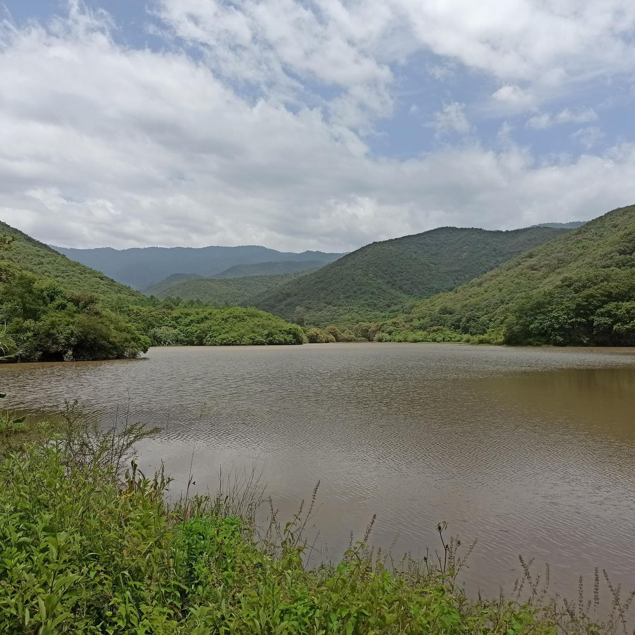
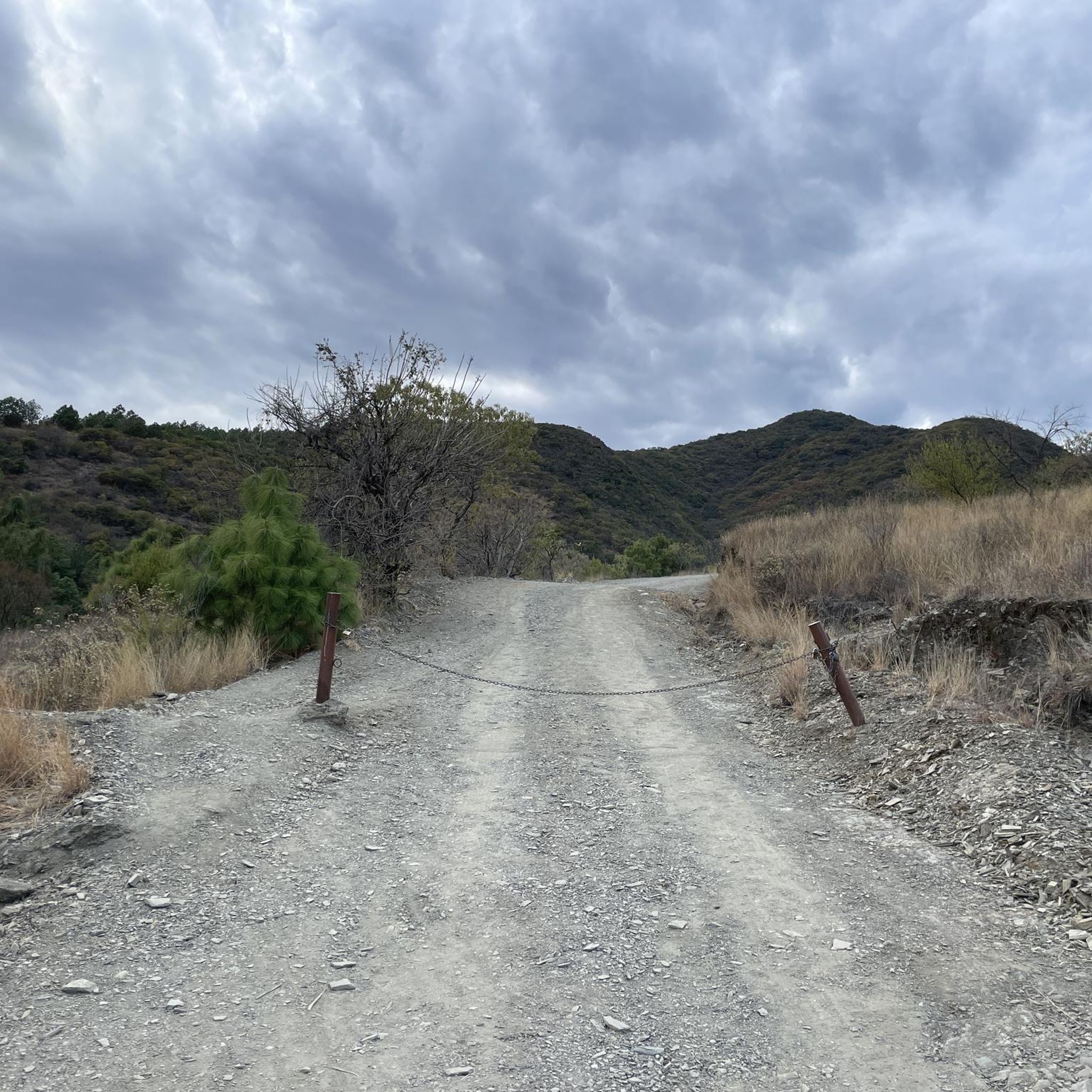
Mountain biking in San Andrés Huayápam offers access to the diverse landscapes of the Sierra Norte foothills, characterized by deep pine-oak forests. The terrain varies from loamy dirt at higher elevations to rocky, loose soil at lower altitudes, providing a dynamic riding experience. This region, located near Oaxaca City, features significant elevation changes and a network of trails suitable for various skill levels.
Best mountain bike trails in San Andrés Huayápam
- The most popular mountain bike trail is Árbol del Tule loop from El Rosario, a 16.7 miles (26.9 km) trail that takes 1 hour 31 minutes to complete. This easy route offers a scenic ride through the local landscape.
- Another top favourite among local mountain bikers is Street of Murals loop from Oaxaca City, a moderate 12.6 miles (20.4 km) path. This route features an elevation gain of over 1,300 feet (400 meters) and passes through urban and natural settings.
- Local mountain bikers also love the Café Texier – Árbol del Tule loop from Suburban Eclipce 70, a 22.1 miles (35.7 km) trail leading through varied terrain, often completed in about 1 hour 52 minutes.
- Mountain biking in San Andrés Huayápam is defined by Sierra Norte foothills, pine-oak forests, and varied terrain from loamy to rocky. The network offers options for different ability levels, from easy paths to more challenging routes with significant elevation.
- The routes in San Andrés Huayápam are highly rated by the komoot community with an average score of 4.8 stars from over 30 reviews. More than 100 mountain bikers have used komoot to explore San Andrés Huayápam's varied terrain.
Last updated: July 1, 2026
4.3
(6)
18
riders
24.5km
01:27
170m
170m
Easy mountain bike ride. Great for any fitness level. Suitable for all skill levels.
5.0
(2)
15
riders
23.7km
01:35
190m
190m
Easy mountain bike ride. Great for any fitness level. Suitable for all skill levels.

Sign up for free
5.0
(1)
9
riders
19.5km
01:35
410m
410m
Moderate mountain bike ride. Good fitness required. Advanced riding skills necessary.
4.7
(3)
9
riders
29.9km
01:34
120m
120m
Easy mountain bike ride. Great for any fitness level. Suitable for all skill levels.
5.0
(1)
8
riders
49.4km
02:38
210m
210m
Moderate mountain bike ride. Good fitness required. Suitable for all skill levels.
4.0
(2)
2
riders
46.2km
03:04
550m
550m
Moderate mountain bike ride. Good fitness required. Suitable for all skill levels.
5.0
(3)
7
riders
Moderate mountain bike ride. Good fitness required. Suitable for all skill levels.
4.5
(2)
5
riders
28.2km
01:41
190m
190m
Easy mountain bike ride. Great for any fitness level. Suitable for all skill levels.
5.0
(2)
6
riders
30.5km
02:07
480m
480m
Moderate mountain bike ride. Good fitness required. Suitable for all skill levels.
4.0
(1)
2
riders
60.3km
03:31
500m
500m
Moderate mountain bike ride. Good fitness required. Suitable for all skill levels.
Get access to more routes and recommendations from other explorers.
Sign up for free
Already have an account?
Our route recommendations are based on thousands of hikes, rides, and runs completed by other people on komoot.
Start today with a free account
Your next adventure awaits.
Login or Signup
Popular around San Andrés Huayápam

Tips from the Community

The place is likely guarded by a custodian from the National Institute of Anthropology and History, this means that you must consider a fee to pay, and always maintain good behavior and always leave it clean.
1
0

Zaachila is a very nice town, with a widespread use of bicycles, so it is possible to find several bicycle workshops in the town. It is connected by bicycle-accessible roads to San Bartolo Coyotepec, Zimatlan de Álvarez, San Raymundo Jalpan, Cuilapam de Guerrero, and other towns.
0
0


On the way back it is best to take the easy downhill section instead of the road
1
0
This easy but very beautiful downhill section is the best option to descend from Monte Alban ...!
0
0

This is the very impressive pyramid complex Monte Albán. Immediately at the main entrance there are also bicycle racks.
1
0
Frequently Asked Questions
How many mountain bike trails are available in San Andrés Huayápam?
There are 19 mountain bike trails available in San Andrés Huayápam on komoot, offering a range of experiences from easy rides to more challenging routes.
What are the difficulty levels of mountain bike trails in San Andrés Huayápam?
The trails in San Andrés Huayápam cater to various skill levels. You'll find 5 easy routes, 13 moderate routes, and 1 difficult route, ensuring options for beginners to experienced riders.
Are there any family-friendly mountain bike trails in San Andrés Huayápam?
Yes, the Huayapam Ecotourism Park offers a 5 km cycle path that is suitable for families and less experienced riders. For a slightly longer easy route, consider the Árbol del Tule loop from El Rosario, which is 16.7 miles (26.9 km) long with minimal elevation gain.
Are there any circular mountain bike routes in the area?
Many of the trails in San Andrés Huayápam are designed as loops. For example, the Street of Murals loop from Oaxaca City is a moderate 12.6-mile (20.4 km) route, and the Café Texier – Árbol del Tule loop from Suburban Eclipce 70 offers a longer 22.1-mile (35.7 km) ride through varied terrain.
What kind of terrain can I expect on mountain bike trails in San Andrés Huayápam?
The terrain is quite diverse, transitioning from loamy dirt in the higher elevations of the Sierra Norte foothills to rocky, loose soil at lower altitudes. You'll encounter deep pine-oak forests, and some trails feature technical sections, ruts, and flowy parts, providing a dynamic riding experience.
What is the best season for mountain biking in San Andrés Huayápam?
While not explicitly stated, the region's proximity to Oaxaca City and its diverse landscapes suggest pleasant riding conditions for much of the year. However, considering the Sierra Norte's cooler air and forests, the dry season (roughly November to April) might offer the most comfortable and predictable weather for exploring the trails.
What cultural experiences can I find near the mountain bike trails?
San Andrés Huayápam is known as the birthplace of 'tejate,' an ancient maize and cocoa drink. You can experience this culinary tradition, especially during the annual Tejate Fair in April. The town also features traditional cobblestone streets, adobe houses, and local eateries offering Oaxacan cuisine like memelas and quesadillas.
What do other mountain bikers enjoy most about the trails in San Andrés Huayápam?
The trails in San Andrés Huayápam are highly rated by the komoot community, with an average score of 4.8 stars from over 30 reviews. Riders often praise the diverse landscapes, from pine-oak forests to varied terrain, and the network of trails suitable for different ability levels.
Are there any longer, more challenging mountain bike routes for advanced riders?
Yes, for more advanced riders seeking longer distances and significant elevation, routes like the Café Texier – Street of Murals loop from Suburban Eclipce 70 cover 70.5 km (43.8 miles). The wider Sierra Norte region, accessible from Huayápam, also offers trails with significant elevation drops and technical sections, including purpose-built flow trails and rugged rocky paths.
Can I find parking near the mountain bike trails in San Andrés Huayápam?
While specific parking locations for all trails are not detailed, the Huayapam Ecotourism Park, a central hub for cycling, does offer facilities that would typically include parking. For other routes, parking might be available in or near the starting points in towns like El Rosario or Oaxaca City, depending on the specific trail access.
What kind of wildlife might I see while mountain biking?
The varied ecosystems around San Andrés Huayápam, ranging from semi-arid scrub with agave and cacti to pine-oak forests, provide opportunities to observe diverse wildlife. You might spot various bird species and smaller mammals along the trails.
Are there any trails that offer significant elevation gain or descent?
Yes, many routes in the region feature notable elevation changes. For instance, the Rio guayabal loop from INFONAVIT 1º de Mayo 6ª Etapa has an elevation gain of over 580 meters. The broader Sierra Norte region is known for trails with significant elevation drops, some exceeding 900 meters of descent.

Get inspired with the komoot mobile app


Didn’t find what you were looking for?
Check out more MTB trails throughout San Andrés Huayápam below and find the perfect route in your destination.
Explore more
Browse the best MTB trails in other regions.
