The best running trails in Ánimas Trujano
4.5
(22)
287
runners
14
runs
Jogging routes in Ánimas Trujano provide access to a diverse landscape, ranging from urban green spaces in nearby Oaxaca City to more challenging mountain trails. The region is characterized by its strategic location, offering a variety of terrains suitable for running. Runners can find routes along tranquil riverside paths, through city parks, and on more strenuous trails in the surrounding hills. This area serves as a base for exploring the varied natural features of the greater Oaxaca region.
Best jogging…
Last updated: July 1, 2026
5.0
(1)
12
runners
5.30km
00:38
140m
140m
Hard run. Good fitness required. Sure-footedness, sturdy shoes and alpine experience required.
19
runners
5.44km
00:34
10m
10m
Moderate run. Good fitness required. Mostly paved surfaces. Suitable for all skill levels.

Sign up for free
5.0
(2)
14
runners
Moderate run. Good fitness required. Mostly paved surfaces. Suitable for all skill levels.
4.0
(1)
7
runners
6.50km
00:42
50m
50m
Moderate run. Good fitness required. Mostly paved surfaces. Suitable for all skill levels.
4
runners
Moderate run. Good fitness required. Mostly paved surfaces. Suitable for all skill levels.
Get access to more routes and recommendations from other explorers.
Sign up for free
Already have an account?
Our route recommendations are based on thousands of hikes, rides, and runs completed by other people on komoot.
Start today with a free account
Your next adventure awaits.
Login or Signup
Popular around Ánimas Trujano

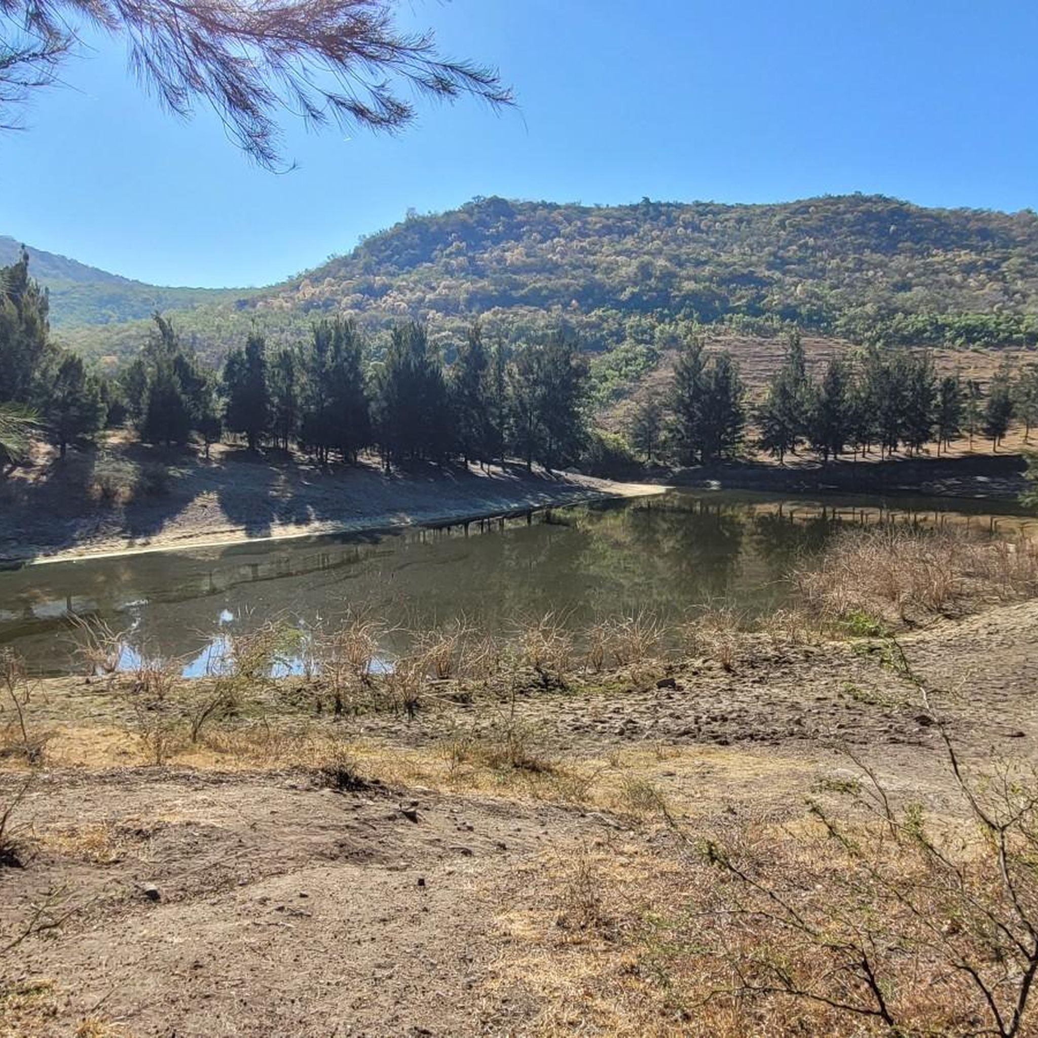

Tips from the Community

The steps take you to Oaxaca's local mountain, Cerro del Fortín, just outside the center. From the top you are rewarded with a magnificent view of Oaxaca. However, you should not go up in the dark.
0
0
Frequently Asked Questions
How many jogging routes are available in and around Ánimas Trujano?
There are over a dozen dedicated jogging routes in the Ánimas Trujano area, offering a variety of terrains and distances. These routes cater to different fitness levels, from easy city loops to more challenging hill climbs.
What kind of terrain can I expect on running trails near Ánimas Trujano?
The region around Ánimas Trujano offers a diverse range of terrains. You can find urban green spaces with paved or dirt paths, tranquil riverside routes like the Riberas del Río Atoyac, and more challenging mountain trails in the foothills of the Sierra Madre and Sierra Norte de Oaxaca, featuring stairs, dirt paths, and even old logging roads.
Are there any easy or beginner-friendly running routes in the area?
Yes, for those seeking easier runs, options like the 5 km dirt loop at Bosque El Tequio or the 700-meter circuit at Parque Juarez El Llano in Oaxaca City provide accessible and relatively flat terrain. The Running loop from Santa Cruz Xoxocotlán is another moderate option with minimal elevation gain.
Where can I find challenging running trails with significant elevation gain?
For a more strenuous workout, consider routes like the Running loop from Oaxaca City, which features a significant elevation gain of 970 feet (296 meters). The Cerro del Fortin also offers stairs and trails for a challenging run with rewarding views. Further afield, the Sierra Norte de Oaxaca provides extensive trail running opportunities with elevations reaching over 10,000 feet.
Are there any running routes that offer scenic views or natural features?
Absolutely. The Cerro del Fortin provides fantastic views over Oaxaca City. For a unique experience, the Libramiento del Norte, an abandoned highway, offers a scenic, car-free route through the Oaxacan foothills. In the Sierra Norte, trails like those near Le Cumbre Ixtepeji are known for rich flora, fauna, and panoramic lookouts amidst dense oak and pine cover.
What do other runners say about jogging in Ánimas Trujano?
The running routes in Ánimas Trujano are highly rated by the komoot community, with an average score of 4.6 stars from over 20 reviews. Runners often praise the variety of terrain, from urban green spaces to challenging hill climbs, and the opportunity to explore the diverse landscapes of the greater Oaxaca region.
Are there any loop running trails available?
Yes, many of the popular running routes in the area are loops. Examples include the Fuente Jardín Socrates loop from Oaxaca City, the Fuente de exalumnos – Fuente suroeste del Zócalo loop from Oaxaca City, and the Fuente de las Ocho Regiones – Fuente de exalumnos loop from Oaxaca City, all offering convenient circular paths.
Can I reach running trails using public transport from Ánimas Trujano?
Ánimas Trujano serves as a good base, and many of the notable running spots are accessible from Oaxaca City, which is a short distance away. Public transport options like local buses or colectivos can connect you to various points within Oaxaca City, from where you can access parks like Bosque El Tequio, Parque Juarez El Llano, or the Riberas del Río Atoyac.
Are there family-friendly running options in the region?
For families, flatter and more accessible routes are ideal. Bosque El Tequio offers a 5 km dirt loop that is suitable for all fitness levels, including families. The Riberas del Río Atoyac also provides a tranquil 4 km riverside path that can be enjoyed by families.
What is the best time of year to go running in Ánimas Trujano?
The Oaxaca region, including Ánimas Trujano, generally boasts year-round good weather, making it suitable for running throughout most of the year. The mile-high altitude can also enhance training. It's always advisable to check local weather forecasts for specific conditions, especially during the rainy season.
Are there any running routes that pass by cultural or historical sites?
Yes, some routes in the broader Oaxaca region integrate natural beauty with cultural heritage. For example, the paved bike lane leading to the famous Tree of Tule combines a natural wonder with a running path. Trails in the Sierra Norte, such as the ancient Camino Real connecting Zapotec villages like Lachatao and Latuvi, offer historical significance alongside diverse ecosystems.
Where can I find parking near popular running spots?
Parking is generally available near many of the popular running locations. For instance, Bosque El Tequio and the Polideportivo Venustiano Carranza Sports Complex typically have dedicated parking facilities. For routes within Oaxaca City, street parking or public parking lots might be available, though it's always good to check local signage.

Get inspired with the komoot mobile app


Explore more
Browse the best Running Trails & Routes in other regions.
