The best cycling routes in Tarímbaro
4.2
(50)
141
riders
14
rides
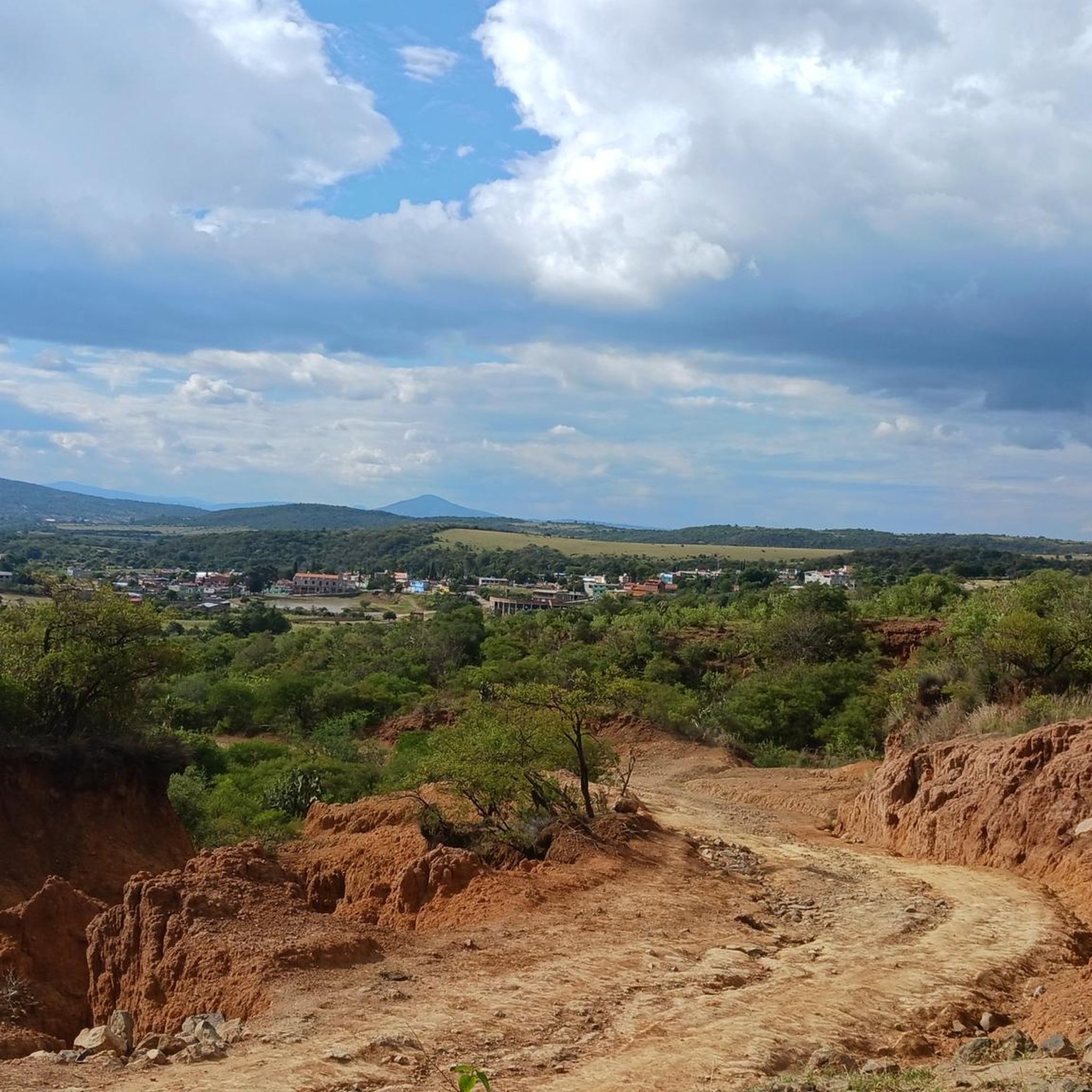
Touring cycling routes in Tarímbaro, Michoacán, offer diverse terrain with varying elevations suitable for different fitness levels. The region is characterized by a mix of green spaces, hinting at its historical name "place of willows," and routes that connect to significant cultural centers. Cyclists can experience moderate climbs and descents, with some routes featuring notable water features and proximity to the historic city of Morelia. This blend provides a varied landscape for touring cyclists.
Best touring cycling routes in Tarímbaro
…Last updated: July 1, 2026
4.7
(11)
27
riders
34.3km
02:12
420m
420m
Moderate bike ride. Good fitness required. Mostly paved surfaces. Suitable for all skill levels.
4.5
(17)
21
riders
44.9km
02:50
490m
490m
Hard bike ride. Very good fitness required. Mostly paved surfaces. Suitable for all skill levels.

Sign up for free
4.8
(5)
19
riders
31.4km
01:53
140m
140m
Easy bike ride. Great for any fitness level. Mostly paved surfaces. Suitable for all skill levels.
4.9
(7)
18
riders
37.4km
02:21
350m
350m
Moderate bike ride. Good fitness required. Mostly paved surfaces. Suitable for all skill levels.
6
riders
13.9km
00:51
80m
80m
Easy bike ride. Great for any fitness level. Mostly paved surfaces. Suitable for all skill levels.
8
riders
38.8km
03:18
890m
890m
Hard bike ride. Very good fitness required. Mostly paved surfaces. Suitable for all skill levels.
7
riders
27.9km
02:02
440m
440m
Moderate bike ride. Good fitness required. Mostly paved surfaces. Suitable for all skill levels.
5
riders
13.7km
00:50
100m
100m
Easy bike ride. Great for any fitness level. Mostly paved surfaces. Suitable for all skill levels.
4.0
(2)
6
riders
Easy bike ride. Great for any fitness level. Mostly paved surfaces. Suitable for all skill levels.
5.0
(6)
3
riders
15.5km
00:56
110m
110m
Easy bike ride. Great for any fitness level. Mostly paved surfaces. Suitable for all skill levels.
Get access to more routes and recommendations from other explorers.
Sign up for free
Already have an account?
Our route recommendations are based on thousands of hikes, rides, and runs completed by other people on komoot.
Start today with a free account
Your next adventure awaits.
Login or Signup
Popular around Tarímbaro


Tips from the Community

if as I remember
0
0

There is a man selling natural pulque, very tasty. Right on the bridge, under the shade.
0
0

we all go out we all come back
0
0

Frequently Asked Questions
What kind of terrain and elevation can I expect on touring cycling routes in Tarímbaro?
Tarímbaro offers a diverse range of terrain for touring cyclists, from moderate to challenging. You can expect routes with varying elevations, including significant climbs and descents. For example, the Cointzio Dam – Pátzcuaro Dam loop from Periférico - Casa de Gobierno features over 1,300 feet of elevation gain, while more challenging routes like the Puerto las Trojitas – La Tijera loop from BanBajío can have nearly 2,900 feet of ascent.
Are there easy touring cycling routes suitable for beginners or families?
Yes, Tarímbaro has several easy touring cycling routes perfect for beginners or families. These routes typically feature less elevation gain and shorter distances. A good option is the Fuente de las Tarascas – Kiosco del Bosque Cuauhtémoc loop from Arboretum, which is 19.5 miles long with moderate elevation, or the shorter Fuente de las Tarascas loop from Morelia at 8.7 miles.
What natural features or landmarks can I see along the cycling routes in Tarímbaro?
Many routes in the Tarímbaro area offer scenic views and pass by natural features. The region is known for its green spaces, hinting at its historical name 'place of willows.' While specific waterfalls like 'Cascada y Lago' are mentioned in the broader context, routes often feature water bodies such as the Cointzio Dam and Pátzcuaro Dam, which are central to tours like the Cointzio Dam – Pátzcuaro Dam loop from Morelia.
Do any touring cycling routes connect Tarímbaro with the city of Morelia?
Yes, several touring cycling routes connect Tarímbaro with Morelia, allowing cyclists to explore both the natural landscapes and the cultural attractions of the state capital. Routes like the Fuente de las Tarascas loop from Morelia and the Pueblo Viejo loop from Morelia start or pass through Morelia, offering access to its historic center and landmarks like the Fuente de las Tarascas.
Are most touring cycling routes in Tarímbaro circular?
Many of the touring cycling routes in Tarímbaro are designed as loops, offering a convenient way to start and end your ride at the same point. Examples include the popular Cointzio Dam – Pátzcuaro Dam loop from Periférico - Casa de Gobierno and the Bike loop from Tarímbaro, which is a shorter, easy option.
What is the best time of year to go touring cycling in Tarímbaro?
While specific seasonal data isn't provided, the region's climate generally supports outdoor activities. Michoacán, where Tarímbaro is located, typically has a temperate climate. It's advisable to check local weather forecasts before your ride, especially during the rainy season, to ensure optimal conditions for touring cycling.
What do other touring cyclists enjoy the most about cycling in Tarímbaro?
The touring cycling routes in Tarímbaro are highly rated by the komoot community, with an average score of 4.1 stars from over 40 reviews. Cyclists often praise the varied terrain, the mix of green spaces, and the opportunity to connect with cultural landmarks. The diverse options, from easy loops to challenging climbs, also contribute to its appeal.
Are there any routes that offer a significant challenge for experienced touring cyclists?
Absolutely. For experienced touring cyclists seeking a challenge, routes like the Cointzio Dam – Pátzcuaro Dam loop from BanBajío are ideal. This difficult 27.9-mile path includes nearly 1,600 feet of elevation gain, providing a demanding experience. Another challenging option is the Puerto las Trojitas – La Tijera loop from BanBajío, with almost 2,900 feet of ascent.
How many touring cycling routes are available in the Tarímbaro area?
There are approximately 15 touring cycling routes available in the Tarímbaro area, catering to various skill levels. This includes 7 easy routes, 4 moderate routes, and 4 difficult routes, ensuring options for every type of cyclist.
Can I find routes that pass through urban areas as well as natural landscapes?
Yes, many routes in Tarímbaro offer a blend of urban and natural environments. For instance, the Fuente de las Tarascas – Kiosco del Bosque Cuauhtémoc loop from Estadio Olímpico Venustiano Carranza leads through both city sections and green areas, allowing you to experience the local culture alongside scenic views.
Are there specific starting points or parking areas for these cycling routes?
Many routes are designed as loops that can be accessed from various points, often near significant landmarks or urban centers. For example, routes like the Cointzio Dam – Pátzcuaro Dam loop can be started from areas like Periférico - Casa de Gobierno or BanBajío, which typically offer parking options in their vicinity. It's recommended to check the specific route details for suggested starting points and parking availability.
Most popular routes in Tarímbaro

Get inspired with the komoot mobile app


