The best cycling routes in Morelia
4.4
(53)
154
riders
17
rides
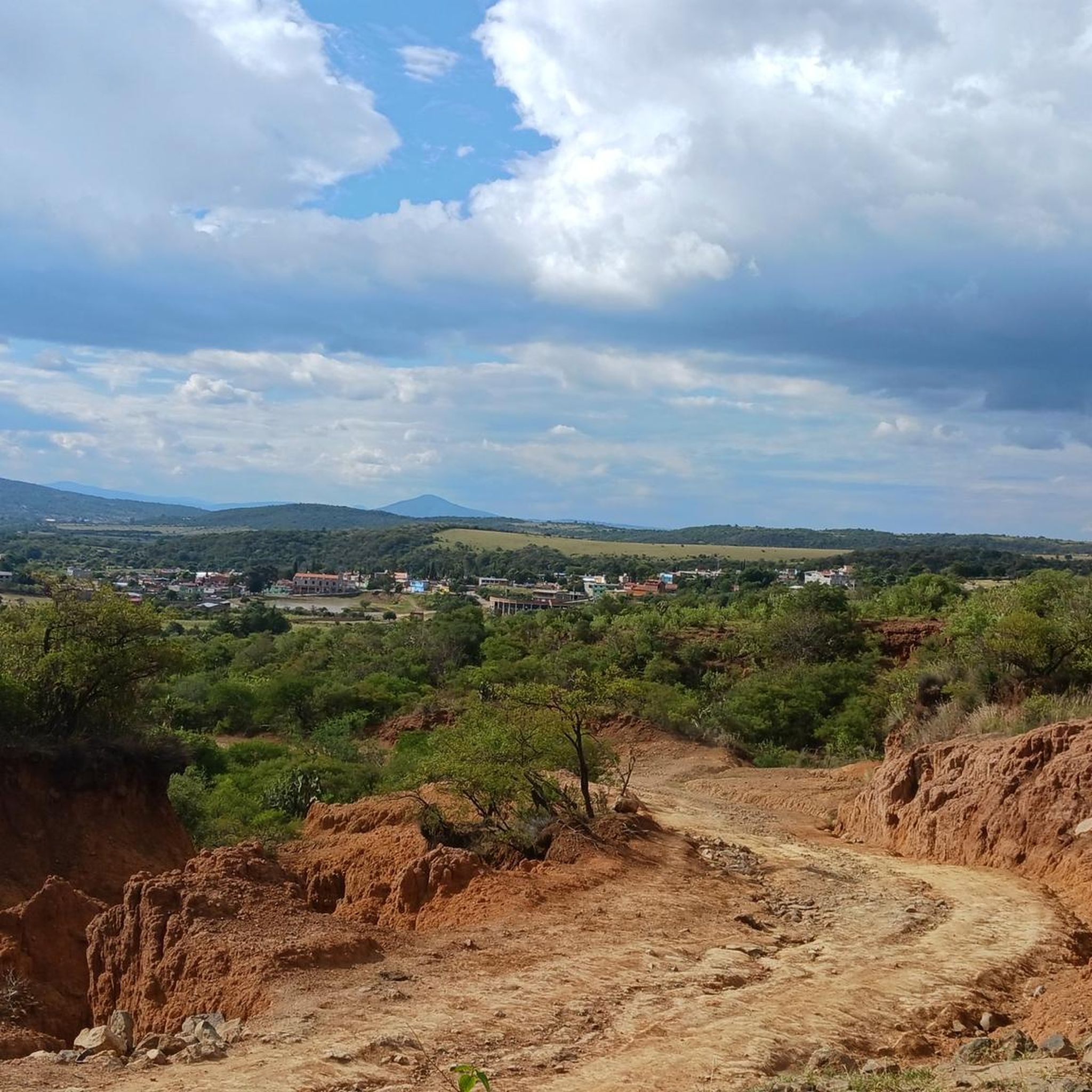
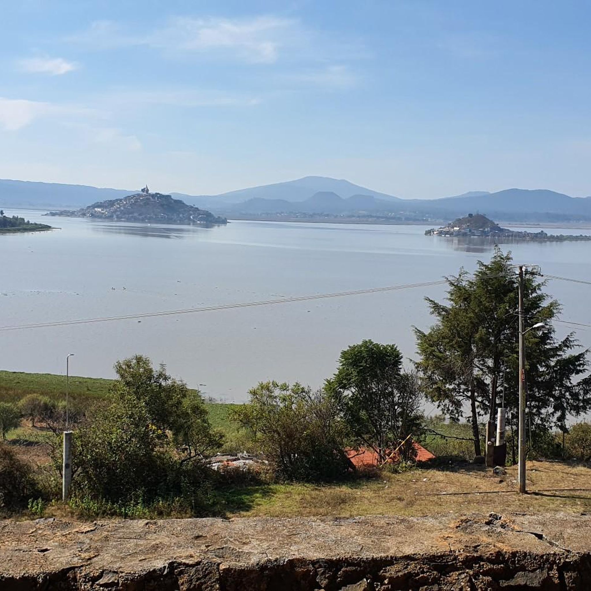
Touring cycling routes in Morelia navigate a diverse landscape characterized by volcanic terrain, lush forests, and serene lakes. The region offers a variety of paths, from routes with gentle elevation gains to challenging ascents. Cyclists can explore areas surrounding Lake Pátzcuaro and Zirahuén, as well as forested mountain trails on the city's outskirts. This varied geography provides options for different cycling preferences and fitness levels.
Best touring cycling routes in Morelia
- The most popular touring cycling route is Cointzio Dam – Pátzcuaro Dam loop from BanBajío, a 27.9 miles (44.9 km) trail that takes 2 hours 50 minutes to complete. This difficult route offers views of the local dam and lake regions.
- Another top favourite among local touring cyclists is Fuente de las Tarascas – Kiosco del Bosque Cuauhtémoc loop from Morelia, an easy 19.5 miles (31.4 km) path. This route explores urban green spaces and city landmarks.
- Local touring cyclists also love the Maderería loop from Jesús del Monte, a 15.5 miles (24.9 km) trail leading through forested areas, often completed in about 1 hour 55 minutes.
- Touring cycling in Morelia is defined by volcanic landscapes, dense forests, and picturesque lake regions. The network offers options for different ability levels, from easy city loops to more challenging mountain paths.
- The routes in Morelia are highly rated by the komoot community with an average score of 4.27 stars from more than 40 reviews. More than 130 touring cyclists have used komoot to explore Morelia's varied terrain.
Last updated: July 1, 2026
4.7
(11)
27
riders
34.3km
02:12
420m
420m
Moderate bike ride. Good fitness required. Mostly paved surfaces. Suitable for all skill levels.
4.5
(17)
21
riders
44.9km
02:50
490m
490m
Hard bike ride. Very good fitness required. Mostly paved surfaces. Suitable for all skill levels.

Sign up for free
4.8
(5)
19
riders
31.4km
01:53
140m
140m
Easy bike ride. Great for any fitness level. Mostly paved surfaces. Suitable for all skill levels.
10
riders
25.0km
01:56
450m
450m
Hard bike ride. Very good fitness required. Mostly paved surfaces. Suitable for all skill levels.
4.9
(7)
18
riders
37.4km
02:21
350m
350m
Moderate bike ride. Good fitness required. Mostly paved surfaces. Suitable for all skill levels.
6
riders
13.9km
00:51
80m
80m
Easy bike ride. Great for any fitness level. Mostly paved surfaces. Suitable for all skill levels.
8
riders
38.8km
03:18
890m
890m
Hard bike ride. Very good fitness required. Mostly paved surfaces. Suitable for all skill levels.
7
riders
27.9km
02:02
440m
440m
Moderate bike ride. Good fitness required. Mostly paved surfaces. Suitable for all skill levels.
5
riders
13.7km
00:50
100m
100m
Easy bike ride. Great for any fitness level. Mostly paved surfaces. Suitable for all skill levels.
4.0
(2)
6
riders
Easy bike ride. Great for any fitness level. Mostly paved surfaces. Suitable for all skill levels.
Get access to more routes and recommendations from other explorers.
Sign up for free
Already have an account?
Our route recommendations are based on thousands of hikes, rides, and runs completed by other people on komoot.
Start today with a free account
Your next adventure awaits.
Login or Signup
Popular around Morelia

Tips from the Community

if as I remember
0
0

There is a man selling natural pulque, very tasty. Right on the bridge, under the shade.
0
0

we all go out we all come back
0
0

Frequently Asked Questions
How many touring cycling routes are available in Morelia?
Morelia offers a diverse network of nearly 20 touring cycling routes on komoot. These routes cater to various preferences, from easy city loops to more challenging paths through volcanic terrain and forests.
What is the best time of year to go touring cycling in Morelia?
The months of February and April are particularly popular for cycling in Morelia, offering favorable weather conditions to explore the region's diverse landscapes.
Are there any easy touring cycling routes suitable for families or beginners in Morelia?
Yes, Morelia has several easy touring cycling routes. A great option is the Fuente de las Tarascas – Kiosco del Bosque Cuauhtémoc loop from Morelia, an easy 19.5-mile (31.4 km) path that explores urban green spaces and city landmarks. Another easy route is the Fuente de las Tarascas loop from Morelia, covering 13.9 km.
What kind of landscapes can I expect to see on touring cycling routes around Morelia?
Touring cycling routes in Morelia navigate a rich tapestry of landscapes. You can expect to see volcanic terrain, lush forests, and serene lake regions, particularly around Lake Pátzcuaro and Zirahuén. Some routes also feature urban green spaces and city landmarks within Morelia itself.
Are there any circular touring cycling routes in Morelia?
Yes, many touring cycling routes in Morelia are designed as loops. Popular circular routes include the challenging Cointzio Dam – Pátzcuaro Dam loop from BanBajío, the easy Fuente de las Tarascas – Kiosco del Bosque Cuauhtémoc loop from Morelia, and the forested Maderería loop from Jesús del Monte.
What do other touring cyclists enjoy most about cycling in Morelia?
The touring cycling routes in Morelia are highly rated by the komoot community, with an average score of 4.27 stars from over 40 reviews. Cyclists often praise the diverse terrain, which offers options for all ability levels, from easy city loops to challenging mountain paths, and the scenic views of dams, lakes, and forested areas.
Are there any specific attractions or natural wonders accessible by touring bike from Morelia?
While some natural wonders like the Monarch Butterfly Biosphere Preserve are typically accessed by car, touring cycling routes in Morelia offer views of local dams and lake regions, such as those found on the Cointzio Dam – Pátzcuaro Dam loop from BanBajío. The region's diverse terrain also provides opportunities to cycle through forested areas and explore urban green spaces.
Where can I find parking near touring cycling routes in Morelia?
Many routes start from accessible points within or near Morelia, such as BanBajío or Jesús del Monte, where parking may be available. For specific routes, it's advisable to check the route details on komoot for suggested starting points and potential parking information.
Are there any touring cycling routes that pass through significant natural parks or protected areas?
The region surrounding Morelia is known for its diverse natural features, including forests and mountains. Routes like the Maderería loop from Jesús del Monte lead through forested areas, offering a refreshing escape into nature. While not always within designated 'parks' in the traditional sense, these routes provide access to the natural beauty of Michoacán.
Can I find places to eat or drink along the touring cycling routes in Morelia?
Given Morelia's vibrant local culture and the popularity of cycling, you can often find cafes and restaurants in the city center and in towns or communities along longer routes. For urban routes like the Fuente de las Tarascas – Kiosco del Bosque Cuauhtémoc loop, you'll pass by various establishments.
Are there any particularly challenging touring cycling routes for experienced riders?
Yes, Morelia offers challenging routes with significant ascents for experienced riders. The Cointzio Dam – Pátzcuaro Dam loop from BanBajío is classified as difficult, covering 27.9 miles (44.9 km) with notable elevation changes. Another difficult option is the Maderería loop from Jesús del Monte.
Are permits required for touring cycling on trails in Morelia?
Generally, permits are not required for touring cycling on the established routes around Morelia. However, if you plan to venture into specific private lands or highly protected natural reserves, it's always wise to check local regulations or signage. Most komoot routes are on public access roads or trails.
Most popular routes in Morelia

Get inspired with the komoot mobile app


