The best MTB trails in Xalatlaco
4.9
(55)
247
riders
11
rides
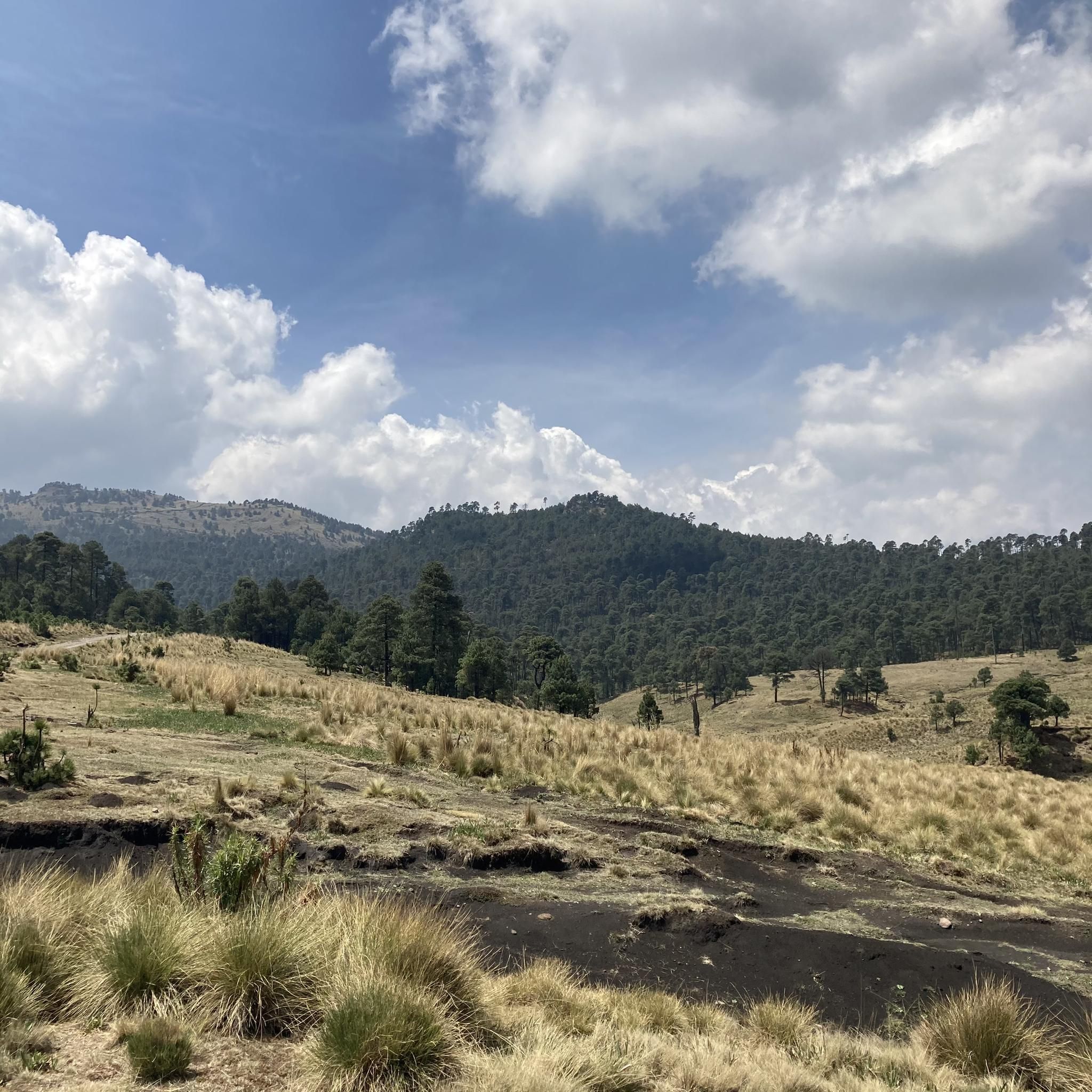
Mountain biking in Xalatlaco offers diverse terrain and elevation changes, making it a compelling destination for outdoor enthusiasts. The region is characterized by natural features such as Cerro Cuahuatl, which provides a network of paths and ramps suitable for mountain bikers. Riders can expect varied landscapes with diverse vegetation and tranquil surroundings, contributing to a dynamic riding experience.
Best mountain bike trails in Xalatlaco
- The most popular mountain bike trail is Mirador de la Virgen – Valle Marlboro (El Aguaje)…
Last updated: June 26, 2026
5.0
(24)
77
riders
Moderate mountain bike ride. Good fitness required. Advanced riding skills necessary.
4.3
(3)
33
riders
Moderate mountain bike ride. Good fitness required. Advanced riding skills necessary.

Sign up for free
5.0
(5)
31
riders
Moderate mountain bike ride. Great for any fitness level. Advanced riding skills necessary.
5.0
(6)
19
riders
Moderate mountain bike ride. Good fitness required. Advanced riding skills necessary.
8
riders
Hard mountain bike ride. Good fitness required. Advanced riding skills necessary. Some portions of the route may require you to push your bike.
5
riders
15.2km
01:16
390m
390m
Hard mountain bike ride. Good fitness required. Advanced riding skills necessary. Some portions of the route may require you to push your bike.
5.0
(1)
6
riders
Hard mountain bike ride. Very good fitness required. Advanced riding skills necessary. Some portions of the route may require you to push your bike.
Get access to more routes and recommendations from other explorers.
Sign up for free
Already have an account?
Our route recommendations are based on thousands of hikes, rides, and runs completed by other people on komoot.
Start today with a free account
Your next adventure awaits.
Login or Signup

Tips from the Community

The famous Marlboro Valley! A grassy expanse surrounded by forest. Perfect for a lazy afternoon in the countryside and enjoying the scenery.
2
0
A classic spot for hiking or biking. Its community name is El Aguaje. A place for camping, riding, running, and enjoying the forest and fresh air. Remember to stock up on supplies before arriving here, whether you're heading to the slopes of Totolapan Park or Sepultura, Cerro Coyote. Bring what you need. Don't be fooled by the weather, but it's not a risky area and is close to several trails that take you out. There's a "forbidden" route to Ajusco; if you'd like to explore it, write to me.
2
0
A cycling classic 🚴♂️ Spectacular views, a safe location, and wonderful views. It's sometimes possible to enter the watchtower and see it from the top. There's enough room for a lot of people and benches. Here you decide where to get off, whether you'll go to Dinamos or the trails that descend toward the Alpino del Ajusco Lodge, or perhaps to the area's viewpoints like Zacacapa. Getting up here is a great achievement, but only the beginning of the adventure.
2
0
Cabro is an MTB trail that begins in Leona and can be reached from Cardos, Jabalí, or Semillero, routes that begin on the slopes of Loma del Coyote. Many mistake it as a continuation of Cardos, but in reality, Totolapan and its visitors name the different sections of the many trails that converge downhill.
3
0
A place that has been welcoming visitors for years, wanting to hike through the forests, ride bikes, camp, eat delicious quesadillas, and spend some quality time in the Mexico City forests. There are plenty of trails to test your skills, and the entrance fee includes accident insurance, as long as you wear all your personal protective equipment.
4
0
If you want another wonderful view of the forest, this is the place where a breath of fresh air will replenish your oxygen as you continue on your planned route. Trash is sometimes left behind, but it's usually clean and safe. It's on the road to El Perillar, which connects to Los Dinamos, or on the way back to San Nicolás Totolapan.
5
0
A short break, if you wish, or just passing through to continue your route, is the central point between these routes: 1. To the Malboro Valley, passing through El Aguajillo, and heading toward Mirador Loma del Coyote. A good challenge, climbing through Sepulturas or Cardos (climb to the right), or to do an MTB descent through Cardos or Jabalí. Or, even more challenging, descend through Loma del Cenizo (regularly closed by the CDMX Drinking Water Authority). 2. To Los Dinamos, passing through Mirador Zacacapa and El Perillar. 3. To Mirador La Virgen and Totolapan (where almost everyone starts the route).
5
0

Frequently Asked Questions
What kind of mountain biking terrain can I expect in Xalatlaco?
Xalatlaco, particularly around Cerro Cuahuatl, offers diverse terrain with many paths and ramps. You'll find varied landscapes, elevation changes, and diverse vegetation, providing a dynamic riding experience. The natural environment is tranquil, with sounds of birds, making for a refreshing escape.
How many mountain bike trails are available in Xalatlaco?
There are 11 mountain bike trails available in Xalatlaco. These include 6 moderate routes and 5 difficult routes, catering to various skill levels.
Are there any moderate mountain bike trails in Xalatlaco?
Yes, Xalatlaco offers 6 moderate mountain bike trails. A popular option is the Mirador de la Virgen – Valle Marlboro (El Aguaje) loop from Reserva Ecológica Comunitaria San Nicolás Totolapan, which is 9.5 miles (15.3 km) long and takes about 1 hour 40 minutes to complete.
What are some challenging mountain bike trails in Xalatlaco?
For experienced riders, Xalatlaco has 5 difficult mountain bike trails. One challenging route is the Zazacapa Viewpoint – Swing of the Serpents loop from Reserva Ecológica Comunitaria San Nicolás Totolapan, covering 11.9 miles (19.2 km) with significant elevation changes.
What do other mountain bikers say about the trails in Xalatlaco?
The trails in Xalatlaco are highly rated by the komoot community, with an average score of 4.9 stars from over 55 reviews. More than 240 mountain bikers have used komoot to explore the varied terrain, often praising the dynamic riding experience and tranquil surroundings.
Are there any scenic viewpoints or natural landmarks along the mountain bike trails?
Yes, the region features several natural landmarks and viewpoints. You can find highlights such as the View of the Volcanoes from Reserva Ecológica Comunitaria San Miguel Ajusco and the Tezontle Curves and Valley (Ajusco-Xalatlaco), offering impressive scenery during your ride.
Are there any loop trails for mountain biking in Xalatlaco?
Many of Xalatlaco's mountain bike trails are loops, offering convenient starting and ending points. An example is the Las Canoas – Mirador de la Virgen loop from Reserva Ecológica Comunitaria San Nicolás Totolapan, which is 5.4 miles (8.7 km) long.
What is the best time of year to go mountain biking in Xalatlaco?
The natural environment of Xalatlaco provides an agreeable setting for outdoor activities. While specific seasonal recommendations are not provided, the region's diverse vegetation and tranquil surroundings suggest it's enjoyable for mountain biking during most times of the year, weather permitting.
What other outdoor activities are popular in Xalatlaco besides mountain biking?
Beyond mountain biking, Xalatlaco is known for horseback riding, allowing visitors to explore the beautiful landscapes and rich traditions of the area. The region's natural beauty also makes it suitable for general exercise and enjoying nature.
Are there any specific areas or reserves where mountain biking is concentrated?
Many of the mountain biking routes in Xalatlaco start from or pass through the Reserva Ecológica Comunitaria San Nicolás Totolapan. This area is a central point for exploring the region's trails, including routes like the Mirador de la Virgen – Cabro Trail loop.
What is the longest mountain bike trail in Xalatlaco?
The longest mountain bike trail in Xalatlaco is the Mirador de la Virgen – Valle Marlboro (El Aguaje) loop from Ejido de San Nicolás Totolapan, which spans 18.4 miles (29.7 km) and is classified as difficult.
What kind of elevation changes can I expect on Xalatlaco's mountain bike trails?
Xalatlaco's mountain bike trails are characterized by significant elevation changes. For example, the Valle Marlboro (El Aguaje) – Mirador de la Virgen loop from Reserva Ecológica Comunitaria San Nicolás Totolapan involves over 1,900 feet (600 meters) of ascent and descent, providing a good workout.
Most popular attractions in Xalatlaco

Get inspired with the komoot mobile app


Explore more
Browse the best MTB trails in other regions.
