The best road cycling routes in Tlalnepantla De Baz
4.7
(99)
1,581
riders
32
rides
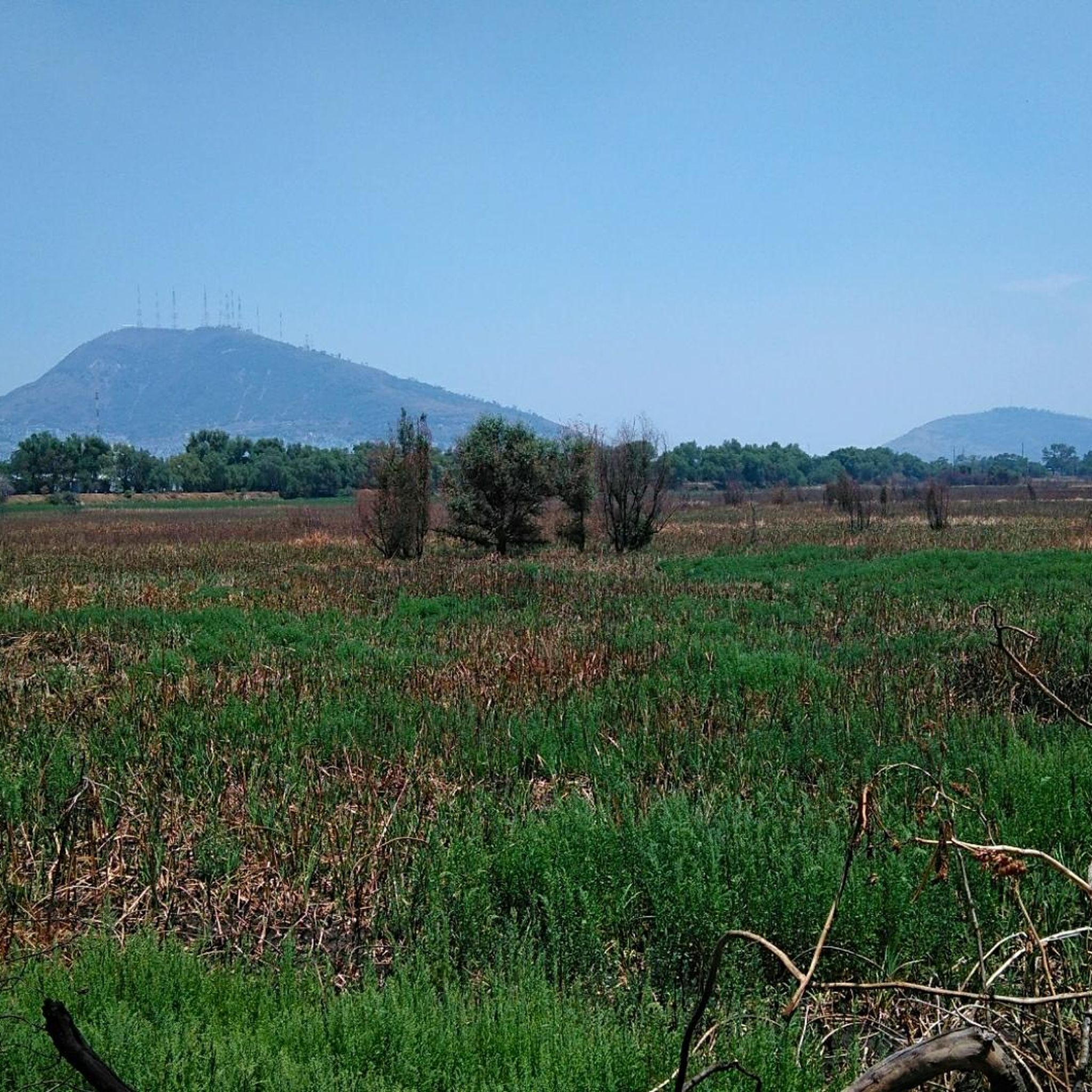
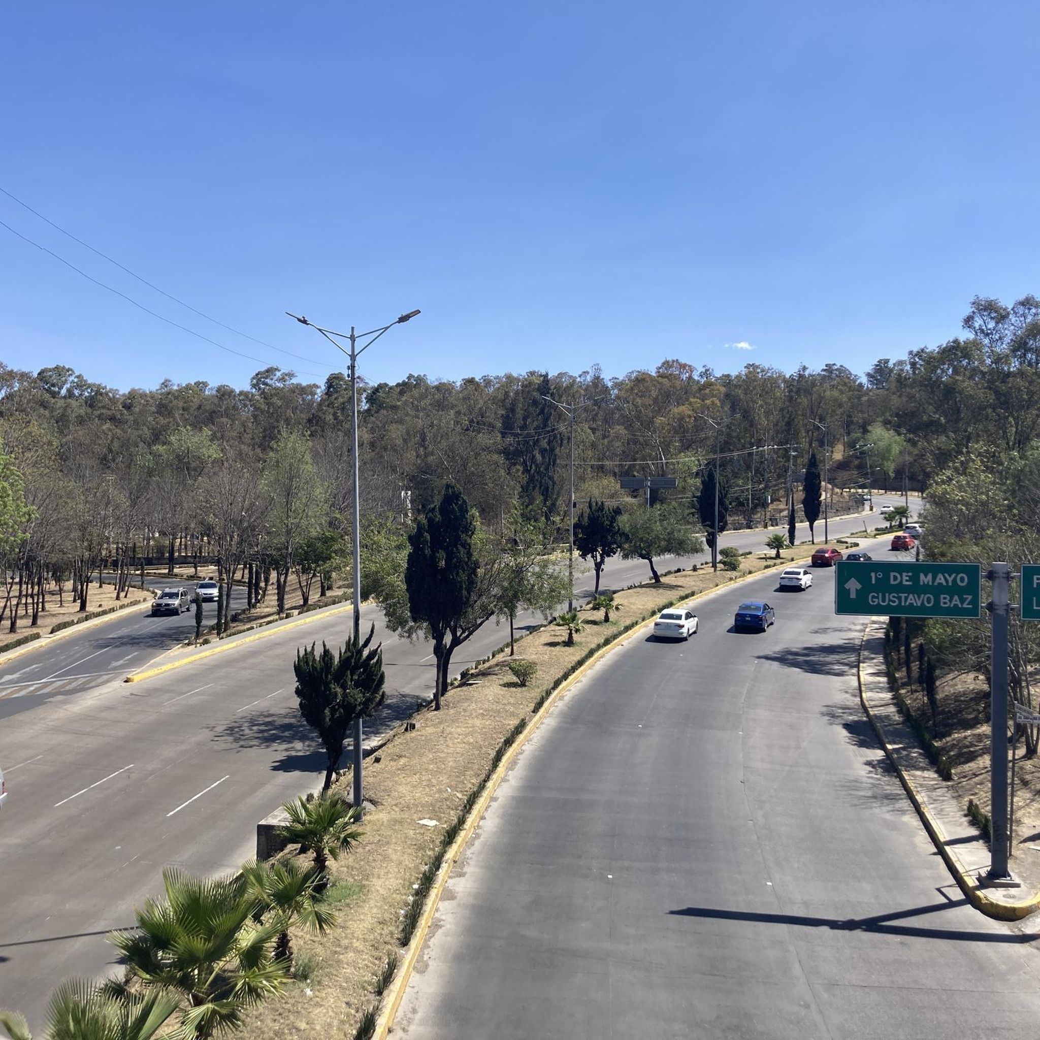
Road cycling routes in Tlalnepantla De Baz traverse a landscape characterized by urban infrastructure, historical landmarks, and varying elevations. The region includes routes that pass by significant monuments and offer views towards higher ground, such as Pico del Águila. Road cyclists can expect a mix of city riding and paths leading to natural features like dams and valleys. The terrain provides options ranging from relatively flat urban loops to more challenging routes with notable elevation gains.
Best road cycling routes…
Last updated: July 2, 2026
5.0
(2)
222
riders
66.9km
03:23
830m
830m
Moderate road ride. Good fitness required. Mostly well-paved surfaces and easy to ride.
177
riders
61.4km
03:28
1,360m
1,360m
Hard road ride. Very good fitness required. Mostly well-paved surfaces and easy to ride.

Sign up for free
4.5
(35)
132
riders
41.1km
01:53
160m
160m
Easy road ride. Great for any fitness level. Mostly well-paved surfaces and easy to ride.
19
riders
19.0km
00:56
240m
240m
Easy road ride. Great for any fitness level. Mostly well-paved surfaces and easy to ride.
4.0
(1)
51
riders
Moderate road ride. Good fitness required. Mostly well-paved surfaces and easy to ride.
5.0
(6)
50
riders
19.6km
01:01
120m
120m
Easy road ride. Great for any fitness level. Mostly well-paved surfaces and easy to ride.
5.0
(2)
31
riders
116km
06:11
2,230m
2,230m
Hard road ride. Very good fitness required. Mostly well-paved surfaces and easy to ride.
5.0
(1)
38
riders
44.7km
02:11
140m
140m
Moderate road ride. Good fitness required. Mostly well-paved surfaces and easy to ride.
11
riders
67.1km
03:34
930m
930m
Hard road ride. Very good fitness required. Mostly well-paved surfaces and easy to ride.
5.0
(7)
13
riders
Easy road ride. Great for any fitness level. Mostly well-paved surfaces and easy to ride.
Get access to more routes and recommendations from other explorers.
Sign up for free
Already have an account?
Our route recommendations are based on thousands of hikes, rides, and runs completed by other people on komoot.
Start today with a free account
Your next adventure awaits.
Login or Signup
Popular around Tlalnepantla De Baz


Tips from the Community

This is a spectacular bronze statue representing the Roman goddess of the hunt. It was unveiled in 1942.
0
0
This is one of the city's most iconic landmarks. The column and statue together reach almost 50 meters in height. It symbolizes the freedom of the Mexican people from Spanish rule.
0
0

It is a historic temple located in the heart of the city. Its architecture combines colonial elements with baroque details, highlighting its ornate facade and solemn interior.
0
0

Excellent vibe, very good rides and the food is quite delicious. Don't forget to try the sweet and savory toust.
0
0

The Holtz House, also known as the residence of engineer Ignacio Holtz, is an Art Nouveau house located in Lomas de Chapultepec, Mexico City. Considered the largest Art Nouveau building in the world, it measures 2,300 square meters and is spread over four floors.
0
0

A cycling classic! Getting here requires effort and enjoyment due to its mountainous landscapes and long, steep climbs. No matter where you arrive, you'll have to climb. There's food outside and even an ancestral spirit (pulque), so there's plenty of supplies for all visitors. The place is wonderful to explore; it has a museum, ceremonies, picnic areas, and just exploring the area is fascinating.
1
0

It's a good place for beginners
1
0

Every Sunday at the Reforma (8am-2pm)
1
0
Frequently Asked Questions
How many road cycling routes are available in Tlalnepantla De Baz?
Tlalnepantla De Baz offers over 35 road cycling routes, providing a diverse range of options for cyclists of all skill levels.
Are there easy road cycling routes suitable for beginners in Tlalnepantla De Baz?
Yes, Tlalnepantla De Baz has 11 easy road cycling routes. A great option for beginners is the Angel of Independence – Diana the Huntress Fountain loop from Guerrero, which is 26.7 miles (43.0 km) long and features prominent urban landmarks with minimal elevation gain.
What are some challenging road cycling routes in Tlalnepantla De Baz?
For experienced cyclists seeking a challenge, there are 16 difficult routes. The Iturbide Dam – Otomí Ceremonial Center loop from Refinería is a demanding 71.9 miles (115.8 km) route with over 2,200 meters of elevation gain. Another challenging option is the Iturbide Dam – Valle de las Palomas loop from Camellón, covering 38.1 miles (61.4 km) with significant elevation changes.
Are there any scenic road cycling routes that offer great views?
Many routes in Tlalnepantla De Baz offer scenic views. The Diana the Huntress Fountain – View of Pico del Águila loop from San Cosme provides urban cycling mixed with ascents towards scenic viewpoints, including the impressive Pico del Águila.
What kind of landmarks or attractions can I see along the road cycling routes?
Road cycling routes in Tlalnepantla De Baz often pass by significant urban landmarks and natural features. You can expect to see iconic monuments like the Angel of Independence and the Diana the Huntress Fountain, as well as natural areas such as the Iturbide Dam and Valle de las Palomas. Some routes also offer views towards Pico del Águila.
Are there loop road cycling trails in Tlalnepantla De Baz?
Yes, many road cycling routes in Tlalnepantla De Baz are designed as loops. Examples include the Calzada Flotante Chapultepec loop from Colonia Del Bosque, which is an easy 6.6 miles (10.7 km) ride, and the longer Angel of Independence – Diana the Huntress Fountain loop from San Joaquín.
What is the typical duration and distance for road cycling routes in this region?
The duration and distance of routes vary widely. You can find shorter rides like the Petroleum Fountain – Ahuehuetes Sur loop from San Joaquín, which is 13.7 miles (22.0 km) and takes about 1 hour 5 minutes. Longer, more challenging routes, such as the Petroleum Fountain – Calzada Flotante Chapultepec loop from Tlatelolco, can extend to 42.8 miles (68.9 km) and take over 3.5 hours.
What do other road cyclists enjoy most about road cycling in Tlalnepantla De Baz?
The komoot community highly rates road cycling in Tlalnepantla De Baz, with an average score of 4.6 stars from over 100 reviews. Cyclists often praise the diverse terrain, which includes a mix of urban landscapes, historical landmarks, and varying elevations, offering options for different ability levels.
What is the best season for road cycling in Tlalnepantla De Baz?
Tlalnepantla De Baz generally experiences a temperate climate. The dry season, typically from November to May, offers more stable weather conditions with less rain, making it ideal for road cycling. However, routes are accessible year-round, with the rainy season bringing lush greenery but also potential for wet roads.
Are there any less crowded road bike routes in Tlalnepantla De Baz?
While many routes pass through urban areas, some offer a more tranquil experience. Routes that venture towards natural features like the Iturbide Dam or Valle de las Palomas, such as the Iturbide Dam – Valle de las Palomas loop from Camellón, might offer sections with less traffic compared to central city loops.
Are there family-friendly road biking options in Tlalnepantla De Baz?
For families, easier and shorter routes with less traffic are recommended. The San Agustín Church – Calzada Flotante Chapultepec loop from San Joaquín is an easy 12.1 miles (19.6 km) route with minimal elevation, making it a good choice for a family outing.
Most popular routes in Tlalnepantla De Baz

Get inspired with the komoot mobile app


Explore more
Browse the best Road cycling routes in other regions.
