The best running trails in Tepetlaoxtoc
5.0
(3)
73
runners
5
runs
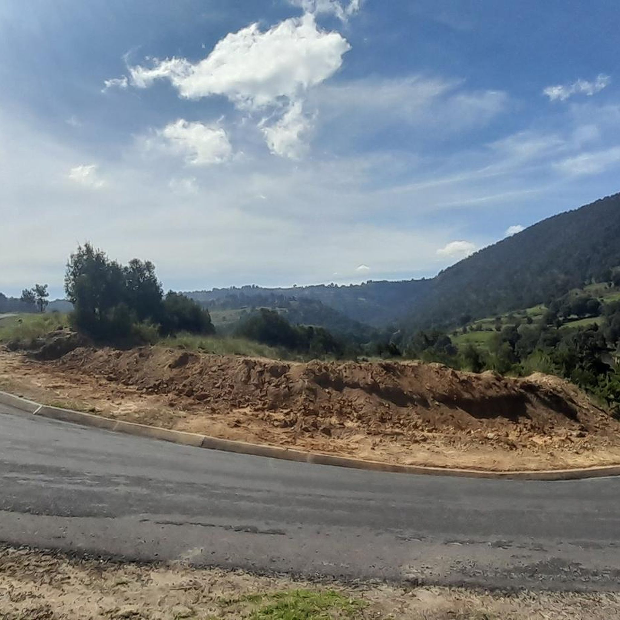
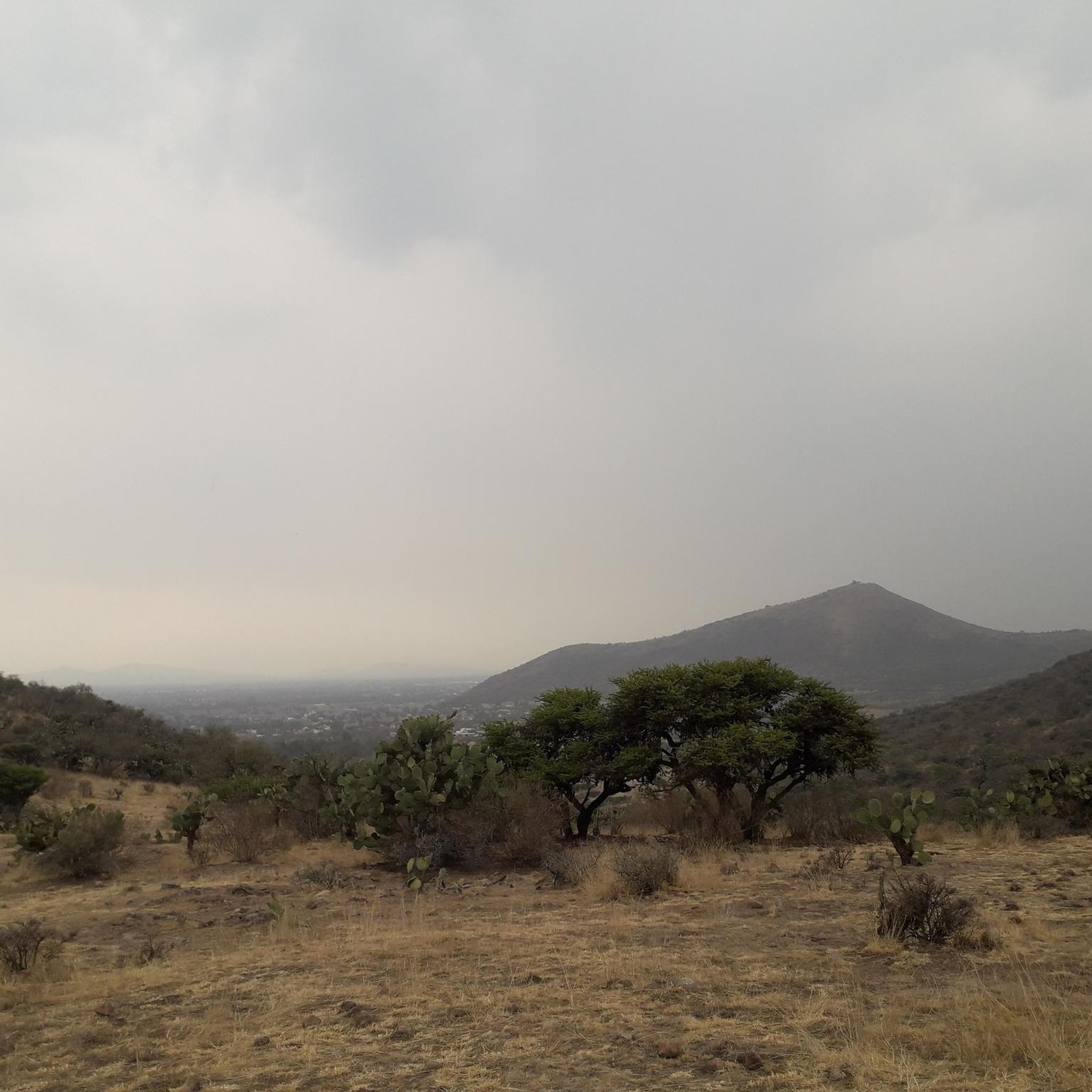
Jogging routes in Tepetlaoxtoc traverse a region characterized by mountainous terrain and volcanic vistas, offering diverse and scenic running experiences. The area features trails winding through pine forests and varying elevations, providing options for different fitness levels. Runners can explore paths that offer views of significant peaks and historical sites, making for a rewarding outdoor activity.
Best jogging routes in Tepetlaoxtoc
- The most popular jogging route is Palacio de Zacuala loop from Pre-Hispanic City of Teotihuacan, a 6.3 miles…
Last updated: July 1, 2026
33
runners
10.1km
01:03
40m
40m
Moderate run. Good fitness required. Mostly paved surfaces. Suitable for all skill levels.
5.0
(1)
22
runners
9.38km
00:58
40m
40m
Moderate run. Good fitness required. Mostly paved surfaces. Suitable for all skill levels.

Sign up for free
5.0
(1)
8
runners
24.7km
03:55
1,430m
1,430m
Hard run. Very good fitness required. Mostly paved surfaces. Suitable for all skill levels.
5.0
(1)
7
runners
20.3km
02:06
60m
60m
Hard run. Very good fitness required. Mostly paved surfaces. Suitable for all skill levels.
3
runners
9.68km
01:03
20m
20m
Moderate run. Good fitness required. Mostly paved surfaces. Suitable for all skill levels.
Our route recommendations are based on thousands of hikes, rides, and runs completed by other people on komoot.
Start today with a free account
Your next adventure awaits.
Login or Signup
Popular around Tepetlaoxtoc
Tips from the Community

Teotihuacan is definitely worth a visit.
0
0

Today, it is no longer possible to climb the pyramids. The risk of accidents is too high
0
0

When strolling along Avenida de Muertos - the Avenue of the Dead - you have a pyramid in front of you and one behind you. The Pyramid of the Sun is the third largest pyramid in the world, and the city of Teotihuacán once housed up to 125,000 people. An incredibly impressive place
1
0

In addition to the pyramid of the sun and moon, the ruined city contains great plazas, temples, a canalized river, and palaces of nobles and priests. The main buildings are connected by a 130-foot- (40-metre-) wide road, the Avenue of the Dead (“Calle de los Muertos”), that stretches 1.5 miles (2.4 km); oriented slightly east of true north, it points directly at the nearby sacred peak of Cerro Gordo. The Avenue of the Dead was once erroneously thought to have been lined with tombs, but the low buildings that flank it probably were palace residences.
6
0
Frequently Asked Questions
How many running routes are available in Tepetlaoxtoc?
Tepetlaoxtoc offers a selection of 5 running routes, providing diverse options for exploring the region's unique landscapes. These routes range in difficulty and length, catering to various preferences.
What kind of terrain can I expect on jogging routes in Tepetlaoxtoc?
Jogging routes in Tepetlaoxtoc primarily feature mountainous terrain with varying elevations, often winding through beautiful pine forests. You can also expect breathtaking volcanic vistas, offering a dramatic backdrop to your run. The region's natural features provide a mix of challenging climbs and more consistent running surfaces.
Are there running routes for all fitness levels in Tepetlaoxtoc?
Yes, Tepetlaoxtoc offers routes suitable for different fitness levels. There are 3 moderate routes for those seeking a steady run, and 2 more difficult routes for experienced runners looking for a greater challenge with significant elevation changes.
Can I see historical landmarks or significant natural features while running in Tepetlaoxtoc?
Absolutely. The region is rich in both natural beauty and historical significance. You can encounter features like the Cerro Tláloc Summit, which includes an archaeological site, and the Paso de Cortés Monument, offering stunning panoramic views. The area also boasts colonial-era churches and convents that can be incorporated into your runs for a cultural exploration.
Are there any routes that offer particularly scenic views?
Many routes in Tepetlaoxtoc offer scenic views, especially those that traverse the mountainous terrain and provide volcanic vistas. The presence of significant peaks like Cerro Tláloc and Mount Telapón ensures dramatic backdrops. For instance, the area around Paso de Cortés is known for its stunning panoramic outlooks.
What do other runners enjoy the most about jogging in Tepetlaoxtoc?
The running routes in Tepetlaoxtoc are highly rated by the komoot community, with an average score of 5.0 stars. Runners often praise the diverse and scenic experiences offered by the mountainous terrain, volcanic vistas, and trails winding through pine forests. The variety of routes, from moderate loops to challenging long trails, is also a highlight.
Are there any long-distance running options in Tepetlaoxtoc?
Yes, for those seeking longer runs, Tepetlaoxtoc offers routes like the Tlalocan loop, which spans 15.3 miles (24.7 km) and involves significant elevation changes, typically taking nearly four hours to complete. Another challenging option is the Atetelco loop from Pre-Hispanic City of Teotihuacan, covering 20.3 km.
Are there any running routes that start near the Pre-Hispanic City of Teotihuacan?
Yes, several popular running routes begin near the Pre-Hispanic City of Teotihuacan. These include the Palacio de Zacuala loop, a moderate 6.3-mile (10.1 km) trail, and the Running loop from Pre-Hispanic City of Teotihuacan, a 5.8-mile (9.4 km) path ideal for a steady pace.
What is the best time of year to go running in Tepetlaoxtoc?
While specific seasonal data isn't provided, the mountainous terrain and volcanic vistas suggest that spring and autumn might offer the most pleasant running conditions with milder temperatures and clear views. Summer could be warm, and winter might bring cooler temperatures, especially at higher elevations.
Are there any national parks or protected areas suitable for jogging in the Tepetlaoxtoc region?
Yes, the Molino de Flores National Park is located in the broader area and contributes to the region's natural appeal. It likely offers maintained trails and green spaces that are perfect for a refreshing jog, allowing runners to enjoy the natural environment.
Can I find circular running routes in Tepetlaoxtoc?
Yes, many of the routes in Tepetlaoxtoc are designed as loops, offering circular paths for runners. Examples include the Palacio de Zacuala loop and the Tlalocan loop, allowing you to start and finish at the same point without retracing your steps.
What are the typical distances of running routes in Tepetlaoxtoc?
Running routes in Tepetlaoxtoc vary in distance. You can find shorter, moderate loops around 6 miles (10 km), such as the Ahuehuetes, Boyeros loop from Texcoco de Mora. For longer, more challenging runs, there are options extending up to 15 miles (24 km), like the Tlalocan loop.

Get inspired with the komoot mobile app


Explore more
Browse the best Running Trails & Routes in other regions.
