The best running trails in Nezahualcóyotl
4.7
(29)
655
runners
12
runs
Jogging in Nezahualcóyotl offers a variety of routes primarily characterized by urban green spaces and park paths. The region features relatively flat terrain, with some routes incorporating gentle hills such as Cerro los Gachupines and Cerro de la Estrella. These running routes provide accessible options for exploring the local environment.
Best jogging routes in Nezahualcóyotl
- The most popular jogging route is Bosque de Aragón Park Path loop from Bosque de Aragón, a 5.7 miles (9.3 km) trail that takes…
Last updated: July 1, 2026
4.1
(18)
135
runners
9.25km
01:01
20m
20m
Moderate run. Good fitness required. Mostly paved surfaces. Suitable for all skill levels.
57
runners
Hard run. Very good fitness required. Mostly paved surfaces. Suitable for all skill levels.

Sign up for free
4.3
(3)
13
runners
6.93km
00:50
210m
210m
Moderate run. Good fitness required. Mostly paved surfaces. Suitable for all skill levels.
5.0
(1)
5
runners
7.69km
00:47
10m
10m
Moderate run. Good fitness required. Mostly paved surfaces. Suitable for all skill levels.
8
runners
9.39km
01:13
290m
290m
Moderate run. Good fitness required. Mostly paved surfaces. Suitable for all skill levels.
5.0
(1)
7
runners
6.48km
00:53
220m
220m
Moderate run. Good fitness required. Mostly accessible paths. Some sure footedness required.
5
runners
3.96km
00:27
10m
10m
Easy run. Great for any fitness level. Mostly paved surfaces. Suitable for all skill levels.
5
runners
4.77km
00:29
10m
10m
Easy run. Great for any fitness level. Mostly paved surfaces. Suitable for all skill levels.
4
runners
5.29km
00:33
10m
10m
Moderate run. Good fitness required. Mostly paved surfaces. Suitable for all skill levels.
6
runners
5.33km
00:38
180m
180m
Moderate run. Good fitness required. Mostly paved surfaces. Suitable for all skill levels.
Get access to more routes and recommendations from other explorers.
Sign up for free
Already have an account?
Our route recommendations are based on thousands of hikes, rides, and runs completed by other people on komoot.
Start today with a free account
Your next adventure awaits.
Login or Signup
Popular around Nezahualcóyotl
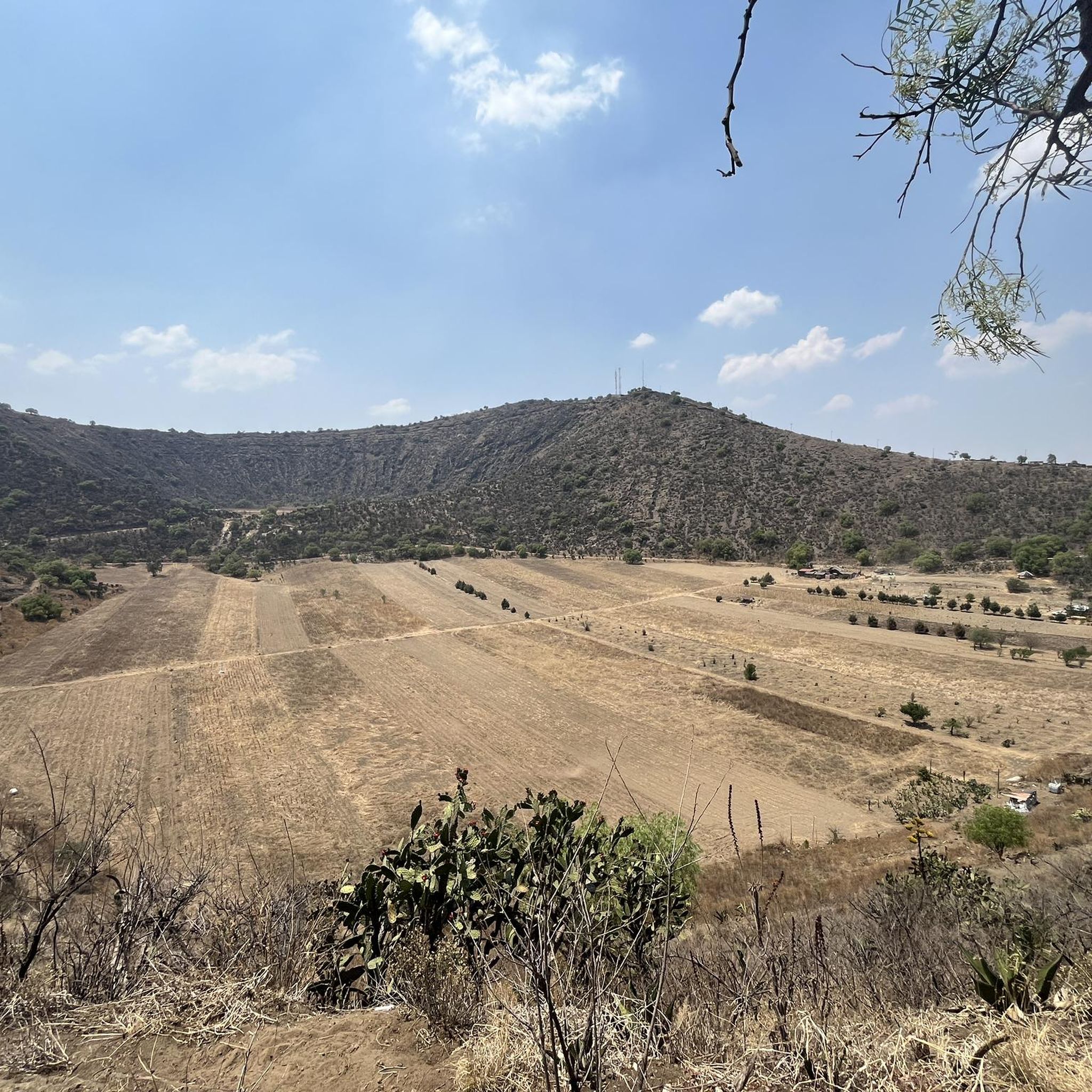
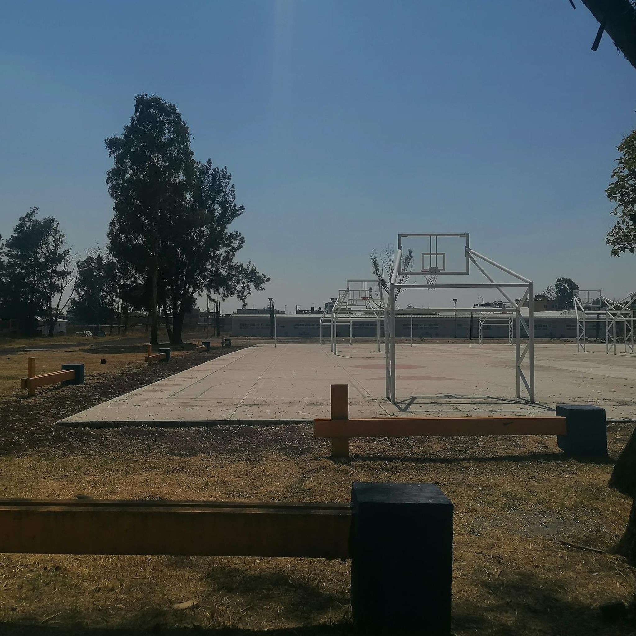
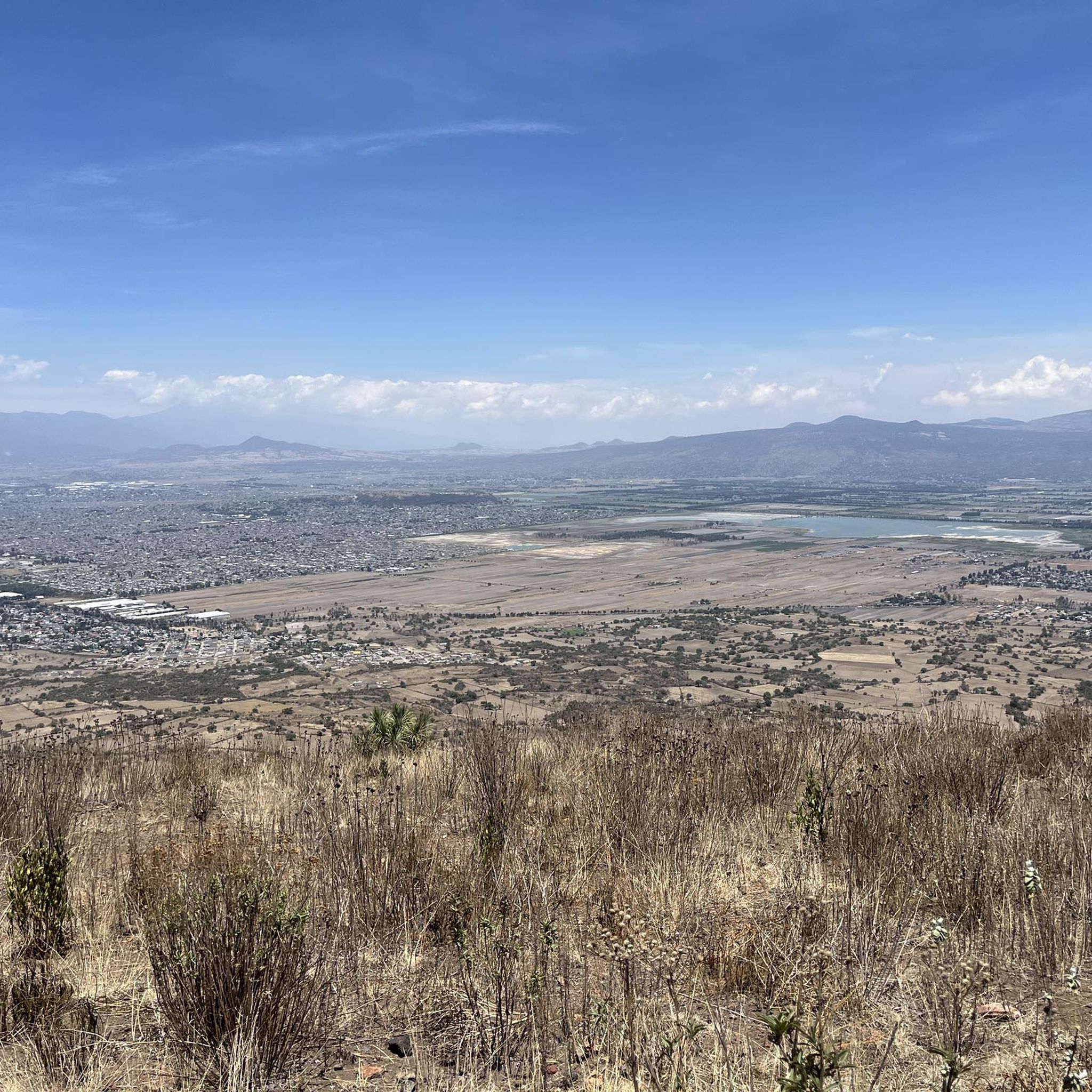
Tips from the Community

This is one of the city's most iconic landmarks. The column and statue together reach almost 50 meters in height. It symbolizes the freedom of the Mexican people from Spanish rule.
0
0

The Basilica of Guadalupe is a massive Catholic church that serves as the Mexico's national shrine and houses the famous cloak containing the image of Our Lady of Guadalupe. Dating back to 1709. This church has become one of the most important pilgrimage sites for Catholics.
3
0
Frequently Asked Questions
How many running routes are available in Nezahualcóyotl?
There are currently 14 dedicated running routes in Nezahualcóyotl, offering a range of experiences from easy park paths to more challenging trails with elevation changes.
Are there easy running routes suitable for beginners in Nezahualcóyotl?
Yes, Nezahualcóyotl offers several easy running routes. A great option for beginners is the Running loop from Villa de Aragón, which is 4.0 km long with minimal elevation gain, perfect for a gentle jog.
Where can I find longer running trails in Nezahualcóyotl?
For those looking for a longer run, the Angel of Independence – Monument to Cuauhtémoc loop from Martín Carrera offers a substantial 26.2 km challenge. Another good option is the Bosque de Aragón Park Path loop from Terminal 1, which is 12.0 km long.
Are there any running routes around 5k in Nezahualcóyotl?
Absolutely. Many runners enjoy the Running loop from Nezahualcóyotl, which is 5.3 km long and takes about 32 minutes to complete. Another option is the Running loop from Mexico City Mexico Temple, measuring 4.8 km.
What kind of terrain can I expect on Nezahualcóyotl's running paths?
Jogging in Nezahualcóyotl primarily features urban green spaces and park paths. While many routes are relatively flat, some incorporate gentle hills, notably around Cerro los Gachupines and Cerro de la Estrella, offering varied terrain.
Are there challenging running routes with significant elevation in the area?
Yes, for a more challenging run, consider routes that incorporate the local hills. The Running loop from Iztapalapa features over 210 meters of elevation gain over 6.9 km, providing a good workout. The Running loop from Cerro de la Estrella also offers significant climbs.
What do other runners say about the jogging routes in Nezahualcóyotl?
The running routes in Nezahualcóyotl are highly rated by the komoot community, with an average score of 4.7 stars from over 20 reviews. Runners often praise the accessibility of the park paths and the variety offered by routes incorporating gentle hills.
Are there any loop running trails in Nezahualcóyotl?
Many of the running routes in Nezahualcóyotl are convenient loops. Popular options include the Bosque de Aragón Park Path loop from Bosque de Aragón and the Cerro los Gachupines loop from Gustavo A. Madero.
Can I find scenic running routes in Nezahualcóyotl?
While primarily urban, routes like the Bosque de Aragón Park Path loop from Bosque de Aragón offer pleasant green spaces and dedicated paths, providing a scenic escape within the city environment.
Are the running trails in Nezahualcóyotl suitable for families?
Yes, many of the park paths and urban green space routes are suitable for families. The easier, flatter loops, such as the Running loop from Villa de Aragón, are ideal for a family jog or walk.
Are there any dog-friendly running routes in Nezahualcóyotl?
Many of the public parks and urban green spaces in Nezahualcóyotl are generally dog-friendly, provided dogs are kept on a leash. Routes like those in Bosque de Aragón are popular choices for runners with their canine companions.
What is the best time of day to go running in Nezahualcóyotl?
Early mornings and late afternoons are generally the most pleasant times to run in Nezahualcóyotl, especially during warmer months, to avoid the midday heat and enjoy cooler temperatures.

Get inspired with the komoot mobile app


Explore more
Browse the best Running Trails & Routes in other regions.
