The best road cycling routes in Chapultepec
4.9
(14)
107
riders
7
rides
Road cycling in Chapultepec offers routes with varied elevation profiles and distances. The region features a mix of rolling hills and more significant climbs, with some routes reaching over 2,500 meters of elevation gain. The terrain includes areas with natural landscapes and connections to surrounding towns. Road cyclists can find paths that traverse both open stretches and more enclosed sections.
Best road cycling routes in Chapultepec
- The most popular road cycling route is Calzada Flotante Chapultepec – Petroleum Fountain loop…
Last updated: July 2, 2026
5.0
(1)
68
riders
145km
07:41
2,570m
2,570m
Hard road ride. Very good fitness required. Mostly well-paved surfaces and easy to ride.
5.0
(5)
13
riders
40.1km
01:46
370m
370m
Moderate road ride. Good fitness required. Mostly well-paved surfaces and easy to ride.

Sign up for free
4.8
(8)
10
riders
30.6km
01:21
230m
230m
Easy road ride. Great for any fitness level. Mostly well-paved surfaces and easy to ride.
6
riders
63.9km
05:44
1,450m
1,450m
Hard road ride. Very good fitness required. Some segments of this route may be unpaved and difficult to ride.
1
riders
78.5km
03:47
800m
790m
Moderate road ride. Good fitness required. Some segments of this route may be unpaved and difficult to ride.
Get access to more routes and recommendations from other explorers.
Sign up for free
Already have an account?
Our route recommendations are based on thousands of hikes, rides, and runs completed by other people on komoot.
Start today with a free account
Your next adventure awaits.
Login or Signup
Popular around Chapultepec


Tips from the Community

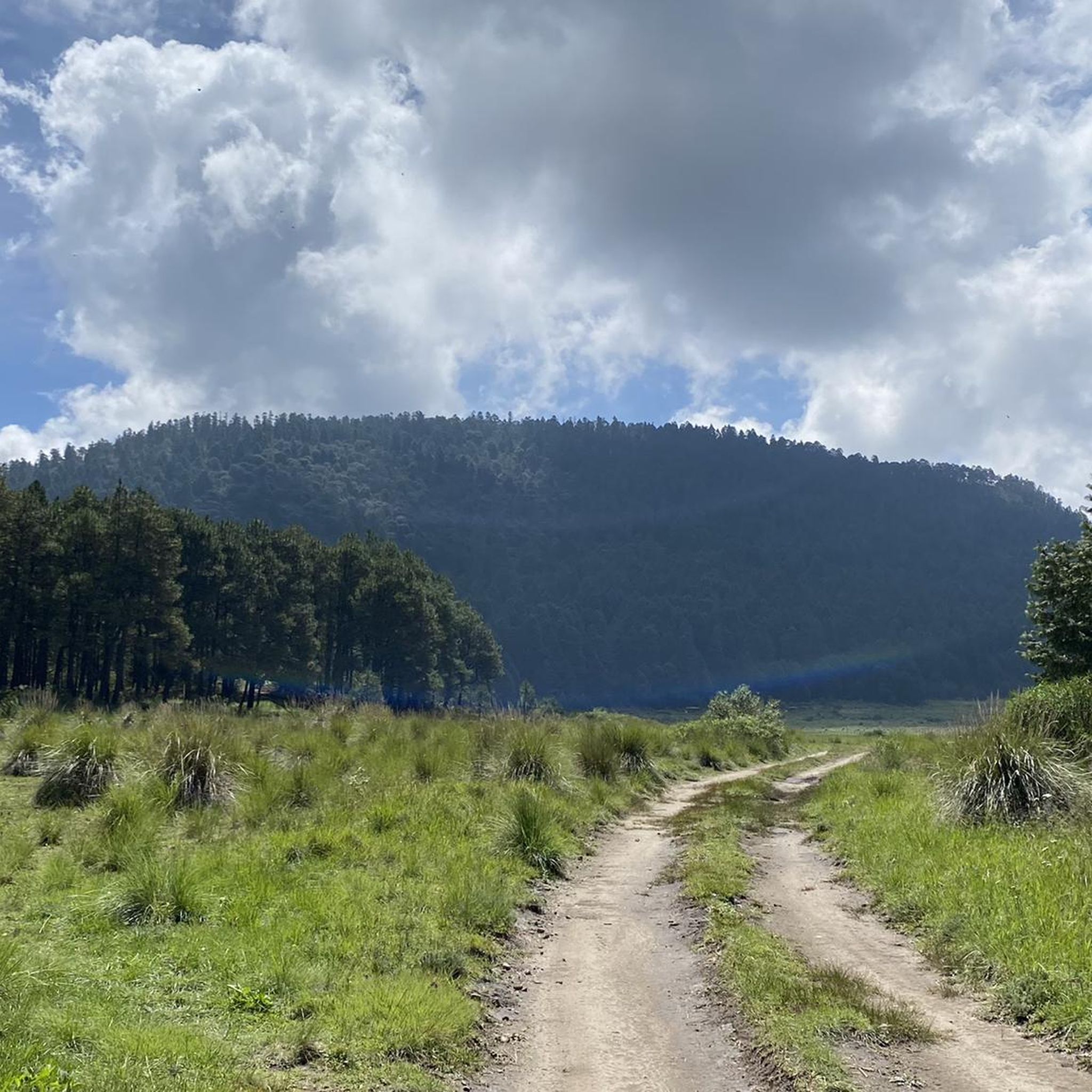
A gentle gravel road for those who are just starting out on their dirt bike, it doesn't require great technique and there are even sections that a road bike can handle without any problems.
3
0


Nice way to cross the highway (periferico) from Chapultepec to Los Pinos
1
0
Just before reaching the famous "Y" of the Ajusco. The most panoramic and close view of the mountain with its well-known Pico del Águila. A path that has changed a lot over the years due to construction and now 2 stops on the road. The only thing that remains beautiful is the mountainous view and the feeling of having managed to reach this point by bike.
5
0
It is the section before the famous "Y" of the Ajusco circuit where you can enjoy a panoramic view of the mountain, the Pico del Águila in the distance, from there you will already have an idea of the weather that awaits you on the road to the heights . Over the years the panorama has changed due to the buildings and bars, but it is still beautiful.
3
0
Excellent area to train within the city, whether you go by bike, rollerblades or running you will find good slopes with enough incline to sweat and suffer when you go in mood training. There are parts with little traffic at some times of the day, as long as it is before or after the departure of people to their destinations. Another advantage is that there are good trees that provide shade and a cooler environment than many roads or paths. Enjoy your effort!
3
0
To see the volcanoes from afar you must have the luck of a suitable climate, clear skies and no mist. I hope it's your day.
4
0

Frequently Asked Questions
What is the general difficulty level for road cycling in Chapultepec?
Road cycling in Chapultepec caters to various skill levels. You'll find routes ranging from easy, such as the House – Montoneras Donas Calimaya loop from Mexicaltzingo, to moderate and challenging options with significant elevation gains, like the Calzada Flotante Chapultepec – Petroleum Fountain loop from Lerma.
Are there road cycling routes suitable for beginners in Chapultepec?
Yes, beginners can find suitable road cycling routes in Chapultepec. The region includes easier paths with less elevation, such as the House – Montoneras Donas Calimaya loop from Mexicaltzingo, which is 16.6 miles (26.8 km) long and typically takes around 1 hour 12 minutes to complete.
What are some challenging road cycling routes in Chapultepec?
For experienced cyclists seeking a challenge, Chapultepec offers routes with substantial elevation. The Calzada Flotante Chapultepec – Petroleum Fountain loop from Lerma is a difficult 90.3-mile (145.4 km) route with over 2,500 meters of elevation gain. Another demanding option is the Joquicingo de León Guzmán loop from Tenango de Arista, covering 43.7 miles (70.3 km) with over 1,300 meters of ascent.
What is the typical distance and elevation for road cycling routes in Chapultepec?
Road cycling routes in Chapultepec vary significantly in distance and elevation. You can find shorter routes like the House – Montoneras Donas Calimaya loop from Mexicaltzingo at 16.6 miles (26.8 km) with about 195 meters of ascent, up to much longer and more challenging rides such as the Calzada Flotante Chapultepec – Petroleum Fountain loop from Lerma, which spans 90.3 miles (145.4 km) and features over 2,500 meters of elevation gain.
How long does it typically take to complete road cycling trails in Chapultepec?
The duration of road cycling trails in Chapultepec depends on the route's length and difficulty. Shorter, easier loops like the House – Montoneras Donas Calimaya loop from Mexicaltzingo can be completed in about 1 hour 12 minutes. Longer, more difficult routes, such as the Calzada Flotante Chapultepec – Petroleum Fountain loop from Lerma, may take around 7 hours 42 minutes.
Are there any family-friendly cycling options in Chapultepec Park?
While the provided routes are primarily for road cycling and range from easy to difficult, Chapultepec Park itself is a large urban green space with many paved paths suitable for family cycling. For specific family-friendly road cycling routes, look for the 'easy' graded tours, which will have less elevation and shorter distances, making them more accessible for families.
What is the best time of year for road biking in Chapultepec?
Chapultepec generally enjoys a mild climate, making road cycling enjoyable for much of the year. The dry season, typically from November to April, offers pleasant temperatures and less chance of rain, which is ideal for longer rides. However, always check the local weather forecast before heading out.
What do other road cyclists enjoy most about road cycling in Chapultepec?
The road cycling experience in Chapultepec is highly rated by the komoot community, with an average score of 4.9 stars from over 10 reviews. Cyclists often praise the varied terrain, which includes both rolling hills and significant climbs, as well as routes that connect natural landscapes with nearby communities, offering diverse scenery and challenges.
Are there any scenic road bike trails with good viewpoints in Chapultepec?
Many road cycling routes in Chapultepec offer scenic views as they traverse natural landscapes and connect to surrounding areas. For instance, the Maguey Hill – Joquicingo de León Guzmán loop from Metepec includes ascents over Maguey Hill, providing panoramic vistas of the surrounding region. The varied elevation throughout the area often leads to rewarding viewpoints.
Are there less crowded road cycling routes available in Chapultepec?
While Chapultepec Park can be popular, many road cycling routes extend beyond the immediate park area into surrounding communities and natural zones. To find less crowded options, consider exploring routes that venture further out, such as the Espinazo del Diablo loop from El Insurgente, which offers a substantial ride away from more central areas.
Are there any good road bike loops in Chapultepec?
Yes, Chapultepec features several excellent road bike loops. Popular options include the challenging Calzada Flotante Chapultepec – Petroleum Fountain loop from Lerma, the moderate Maguey Hill – Joquicingo de León Guzmán loop from Metepec, and the easier House – Montoneras Donas Calimaya loop from Mexicaltzingo. These loops provide diverse experiences in terms of distance, elevation, and scenery.
Most popular routes in Chapultepec

Get inspired with the komoot mobile app


Explore more
Browse the best Road cycling routes in other regions.
