The best running trails in Axapusco
5.0
(2)
64
runners
4
runs
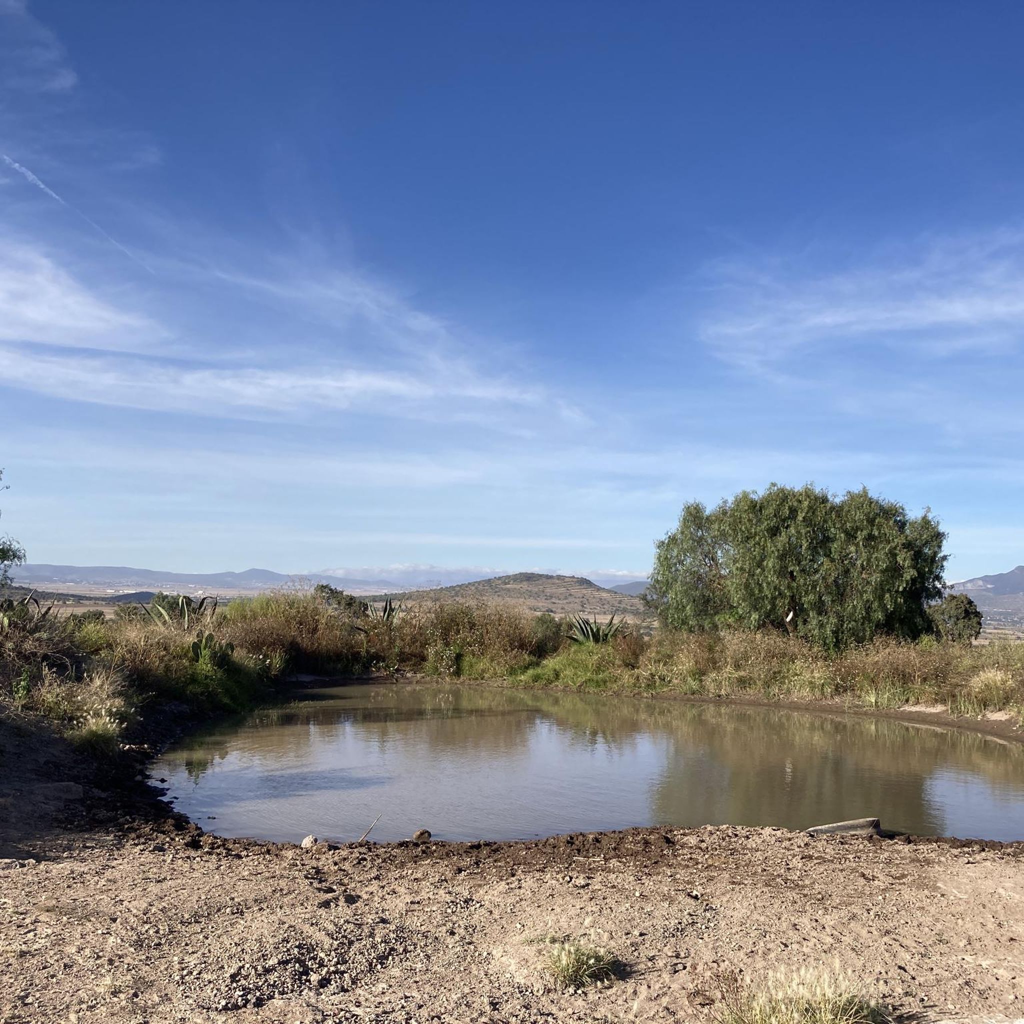
Jogging in Axapusco offers routes through varied terrain, often featuring historical landscapes. The region's running trails are characterized by gentle elevation changes, with routes ranging from mostly flat to moderately rolling. These paths provide opportunities to explore the area's open spaces and cultural sites. The landscape primarily consists of open plains and areas surrounding ancient archaeological zones.
Best jogging routes in Axapusco
- The most popular jogging route is Palacio de Zacuala loop from Pre-Hispanic City of Teotihuacan, a 6.3…
Last updated: May 20, 2026
33
runners
10.1km
01:03
40m
40m
Moderate run. Good fitness required. Mostly paved surfaces. Suitable for all skill levels.
5.0
(1)
22
runners
9.38km
00:58
40m
40m
Moderate run. Good fitness required. Mostly paved surfaces. Suitable for all skill levels.

Sign up for free
5.0
(1)
7
runners
20.3km
02:06
60m
60m
Hard run. Very good fitness required. Mostly paved surfaces. Suitable for all skill levels.
2
runners
16.0km
01:42
210m
200m
Hard run. Very good fitness required. Mostly paved surfaces. Suitable for all skill levels.
Our route recommendations are based on thousands of hikes, rides, and runs completed by other people on komoot.
Start today with a free account
Your next adventure awaits.
Login or Signup
Popular around Axapusco

Tips from the Community

Teotihuacan is definitely worth a visit.
0
0

Today, it is no longer possible to climb the pyramids. The risk of accidents is too high
0
0

When strolling along Avenida de Muertos - the Avenue of the Dead - you have a pyramid in front of you and one behind you. The Pyramid of the Sun is the third largest pyramid in the world, and the city of Teotihuacán once housed up to 125,000 people. An incredibly impressive place
1
0

In addition to the pyramid of the sun and moon, the ruined city contains great plazas, temples, a canalized river, and palaces of nobles and priests. The main buildings are connected by a 130-foot- (40-metre-) wide road, the Avenue of the Dead (“Calle de los Muertos”), that stretches 1.5 miles (2.4 km); oriented slightly east of true north, it points directly at the nearby sacred peak of Cerro Gordo. The Avenue of the Dead was once erroneously thought to have been lined with tombs, but the low buildings that flank it probably were palace residences.
6
0
Frequently Asked Questions
How many running routes are available in Axapusco?
Axapusco offers a selection of 4 dedicated running routes. These trails provide diverse experiences across the region's unique landscape, often near historical sites.
Are there any easy or beginner-friendly jogging routes in Axapusco?
While there are no routes explicitly classified as 'easy' in our current selection, several routes are of moderate difficulty, making them suitable for runners with some experience. For example, the Palacio de Zacuala loop from Pre-Hispanic City of Teotihuacan is a moderate 6.3-mile (10.1 km) trail with gentle elevation changes.
What is the typical distance of running trails in Axapusco?
The running trails in Axapusco vary in distance. You'll find routes ranging from approximately 5.8 miles (9.4 km), like the Running loop from Pre-Hispanic City of Teotihuacan, up to longer options such as the Atetelco loop from Pre-Hispanic City of Teotihuacan, which covers 12.6 miles (20.3 km).
Are there circular jogging routes in Axapusco?
Yes, many of the running routes in Axapusco are designed as loops, offering a convenient way to start and finish at the same point. Examples include the Palacio de Zacuala loop from Pre-Hispanic City of Teotihuacan and the Running loop from Pre-Hispanic City of Teotihuacan.
What kind of terrain can I expect on Axapusco's running trails?
The running trails in Axapusco primarily feature open plains and areas surrounding ancient archaeological zones. You can expect varied terrain with gentle to moderately rolling elevation changes, providing a consistent running surface in many areas.
Are the running routes in Axapusco suitable for families?
While specific 'family-friendly' designations aren't available, the moderate difficulty routes with consistent surfaces and gentle elevation, such as the Running loop from Pre-Hispanic City of Teotihuacan, could be suitable for active families. Always consider the distance and your family's fitness level.
Can I bring my dog on the running trails in Axapusco?
Axapusco's running trails often traverse open plains and natural areas, which are generally suitable for dogs. However, it's always recommended to check local regulations for specific archaeological sites or protected areas you might pass through. Keep your dog on a leash and ensure you clean up after them.
What interesting landmarks or sights can I see while jogging in Axapusco?
Many running routes in Axapusco offer views of or pass near significant historical sites. The Pre-Hispanic City of Teotihuacan is a prominent feature, with several routes, like the Atetelco loop from Pre-Hispanic City of Teotihuacan, leading through or near these ancient archaeological zones, providing a unique cultural backdrop to your run.
What do other runners enjoy most about jogging in Axapusco?
The running experience in Axapusco is highly rated by the komoot community, with an average score of 5.0 stars. Runners often praise the opportunity to explore historical landscapes and open spaces, appreciating the unique blend of nature and culture found on these trails.
Are there any longer, more challenging running routes in Axapusco?
Yes, for those seeking a greater challenge, Axapusco offers more demanding routes. The Atetelco loop from Pre-Hispanic City of Teotihuacan is a difficult 12.6-mile (20.3 km) trail, and the Running loop from Otumba de Gómez Farías is another difficult option spanning 15.9 miles (25.7 km) with more significant elevation changes.
What is the best time of year to go running in Axapusco?
Axapusco generally experiences a temperate climate. The dry season, typically from November to May, often offers pleasant conditions for running with less humidity and clearer skies. However, mornings can be cool, so layering is advisable. The rainy season (June to October) can bring afternoon showers, which might make some trails muddy.
Are there paved running paths in Axapusco?
While many routes traverse open plains and natural surfaces, some sections, especially those near urban or archaeological areas, may feature more consistent or semi-paved surfaces. The region's trails are characterized by providing a generally consistent running surface, though not exclusively paved.

Get inspired with the komoot mobile app


Explore more
Browse the best Running Trails & Routes in other regions.
