The best road cycling routes in Atizapán De Zaragoza
4.8
(33)
380
riders
14
rides
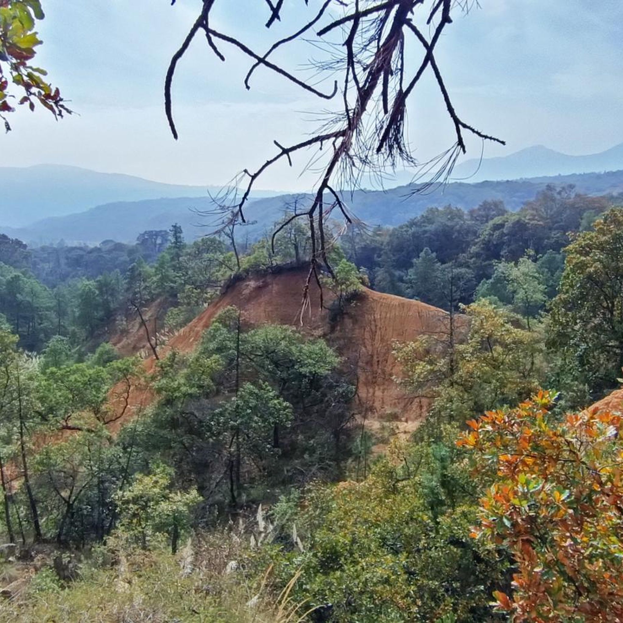
Road cycling in Atizapán De Zaragoza is characterized by its varied topography and significant elevation changes, situated within the State of Mexico. The region features an average elevation of approximately 7,907 feet, with terrain ranging from 7,379 feet to 9,531 feet. This environment provides road cycling routes with substantial elevation gain, including a ridge of hills within the Atizapán-Valle Escondido State Park. The landscape includes oak forest, induced grassland, and desert scrub, offering diverse backdrops for rides.
Best road cycling…
Last updated: July 3, 2026
177
riders
61.4km
03:28
1,360m
1,360m
Hard road ride. Very good fitness required. Mostly well-paved surfaces and easy to ride.
47
riders
104km
05:57
2,400m
2,400m
Hard road ride. Very good fitness required. Mostly well-paved surfaces and easy to ride.

Sign up for free
10
riders
129km
07:10
2,840m
2,840m
Hard road ride. Very good fitness required. Mostly well-paved surfaces and easy to ride.
9
riders
55.8km
03:11
1,310m
1,310m
Hard road ride. Very good fitness required. Mostly well-paved surfaces and easy to ride.
4.8
(8)
10
riders
Moderate road ride. Good fitness required. Mostly well-paved surfaces and easy to ride.
5
riders
58.5km
03:18
1,230m
1,230m
Hard road ride. Very good fitness required. Some segments of this route may be unpaved and difficult to ride.
6
riders
24.7km
01:18
410m
410m
Moderate road ride. Good fitness required. Mostly well-paved surfaces and easy to ride.
5
riders
Hard road ride. Very good fitness required. Mostly well-paved surfaces and easy to ride.
4
riders
62.1km
03:19
1,160m
1,160m
Hard road ride. Very good fitness required. Mostly well-paved surfaces and easy to ride.
3
riders
58.2km
03:05
1,100m
1,100m
Hard road ride. Very good fitness required. Mostly well-paved surfaces and easy to ride.
Get access to more routes and recommendations from other explorers.
Sign up for free
Already have an account?
Our route recommendations are based on thousands of hikes, rides, and runs completed by other people on komoot.
Start today with a free account
Your next adventure awaits.
Login or Signup
Popular around Atizapán De Zaragoza


Tips from the Community

These are the ruins of a shopping plaza, which for some reason went bankrupt. Now in ruins, access is prohibited, but it's worth a visit.
0
0

A cycling classic! Getting here requires effort and enjoyment due to its mountainous landscapes and long, steep climbs. No matter where you arrive, you'll have to climb. There's food outside and even an ancestral spirit (pulque), so there's plenty of supplies for all visitors. The place is wonderful to explore; it has a museum, ceremonies, picnic areas, and just exploring the area is fascinating.
1
0

There's a of people running so be careful and don't go too fast if there are many pedestrians.
0
0

Careful, there are many people running/walking on the bike path.
0
0
Bike path on linear park from Satelite (circuito Juristas), crossing under the highway (periferico), all the way to Gustavo Baz (about 2 km). It also connects to a bikepath along Paseo de Echegaray that goes back almost to parque Naucalli. There are many people running/walking on the bike path.
1
0
Going up towards the CCO or Jiquipilco you will find this accumulation of water of dark blue color and greenish tones that can be seen among the trees of the wooded road full of green mountains, cold wind and the sounds of nature, of course cars pass by on the road but it is the least of it if you look at how beautiful the place is. Enjoy the trip!
2
0
The Valley of the Pigeons where there are no pigeons, only Cows! Obliged to reach the Otomí Ceremonial Center (CCO) or Jiquipilco. Be prepared for the wind either head or cross. There are almost always puddles of water and it is usually cold. Surrounded by green mountains, an area to eat and rest to continue with the descent or the return. Enjoy your way.
1
0

After a strenuous effort going up to this place, you will find a beautiful and wide valley with cows and horses grazing on both sides of the road. During the weekend, and depending on the time you arrive here, you will see people doing different activities, from enjoying a picnic, tasting delicious quesadillas, groups of cyclists recovering energy and sometimes (unfortunately) fans to cars and motorcycles breaking the peace with their noisy engines. When they are not there, all is peace and the air is quite fresh and pure. One thing that surprises me every time I come to this place is to approach the ponds that are on both sides of the road and hear millions of frogs croaking in chorus. Sound simply grabs you and invites you to enjoy it.
0
0
Frequently Asked Questions
What is the general terrain like for road cycling in Atizapán De Zaragoza?
Atizapán De Zaragoza features a varied topography with significant elevation changes, ranging from 7,379 feet to 9,531 feet. This means you can expect routes with substantial elevation gain, offering diverse challenges and scenic views. The landscape includes a ridge of hills within the Atizapán-Valle Escondido State Park, with oak forest, grassland, and desert scrub.
How many road cycling routes are available in Atizapán De Zaragoza?
There are over 15 road cycling routes available in Atizapán De Zaragoza, catering to various skill levels. The komoot community has explored these routes over 400 times.
Are there challenging road cycling routes in Atizapán De Zaragoza?
Yes, many routes in Atizapán De Zaragoza are considered challenging due to significant elevation gains. For example, the Iturbide Dam – Otomí Ceremonial Center loop from Zona Federal covers nearly 129 km with over 2,800 meters of climbing. Another demanding option is the Iturbide Dam – Valle de las Palomas loop from Camellón, which includes over 1,300 meters of ascent.
Are there any moderate or easier road cycling options for beginners?
While many routes are challenging, there are options suitable for moderate fitness levels. For instance, the Paseo de las Marinas Bike Path – Good slope for training loop from Ciudad Satélite is a moderate route with around 330 meters of elevation gain over 32 km, making it a good choice for training or less experienced riders.
What kind of surfaces can I expect on the road cycling routes?
Most road cycling routes in Atizapán De Zaragoza largely consist of well-paved surfaces, especially in areas like the Zona Esmeralda district. However, some challenging routes, such as certain segments of the Iturbide Dam loops, might include unpaved sections, so it's advisable to check route details before heading out.
What do other cyclists say about road cycling in Atizapán De Zaragoza?
The road cycling routes in Atizapán De Zaragoza are highly rated by the komoot community, with an average score of 4.8 stars from over 30 reviews. Cyclists often praise the varied topography and the challenging nature of the rides, as well as the scenic backdrops provided by the oak forests and grasslands.
Are there any circular road cycling routes?
Yes, many of the popular road cycling routes in Atizapán De Zaragoza are loops. Examples include the Cerro Boludo – Paseo de las Marinas Bike Path loop from El Rosario and the Laguna El Gavillero loop from Atizapán de Zaragoza, offering convenient starting and ending points.
What natural features can I see along the road cycling routes?
Cyclists can enjoy diverse natural features, including the ridge of hills within the Atizapán-Valle Escondido State Park. The routes pass through various vegetation types such as oak forest, induced grassland, and desert scrub, providing picturesque scenery throughout your ride.
Is there parking available near the road cycling routes?
While specific parking facilities for cyclists are not detailed for every trailhead, many routes start from residential areas or public spaces where street parking might be available. For routes originating from specific districts like Zona Federal or Ciudad Satélite, it's common to find parking options nearby.
What is the best season for road cycling in Atizapán De Zaragoza?
Given its average elevation, Atizapán De Zaragoza offers a generally temperate climate. The best time for road cycling typically avoids the peak rainy season and the coldest winter months, allowing for comfortable temperatures and drier roads. Always check local weather forecasts before your ride.
Are there any family-friendly road cycling routes in the area?
While many routes are geared towards experienced cyclists due to significant elevation, some shorter, moderate options like the Paseo de las Marinas Bike Path loop from Ciudad Satélite (24.7 km with 413m elevation gain) could be suitable for families with older children or those seeking a less strenuous ride on paved paths.
Can I find cafes or restaurants near the cycling routes?
Atizapán De Zaragoza, being part of Greater Mexico City, has various amenities. Routes passing through or near urbanized areas, such as the Zona Esmeralda district or starting points like Ciudad Satélite, are likely to have cafes and restaurants where cyclists can refuel.
Most popular routes in Atizapán De Zaragoza

Get inspired with the komoot mobile app


Didn’t find what you were looking for?
Check out more Road cycling routes throughout Atizapán De Zaragoza below and find the perfect route in your destination.
Explore more
Browse the best Road cycling routes in other regions.
