
The best running trails in Ixtlahuacán Del Río
5.0
(11)
371
runners
19
runs
Jogging in Ixtlahuacán Del Río offers diverse landscapes, ranging from flat terrains to rugged sections with elevations up to 1,900 meters (6,234 feet). The region features significant natural attractions such as the Monte Grande hill, El Tlacotépetl, and the scenic Barranca del Río Santiago. Joggers can explore areas around Presa "Los Sauces" and various rivers and streams that contribute to picturesque running routes. The varied topography provides options for different levels of challenge, from gentle paths to more demanding uphill…
Last updated: July 7, 2026
5.0
(2)
38
runners
6.34km
01:17
550m
550m
Hard run. Very good fitness required. Mostly paved surfaces. Suitable for all skill levels.
5.0
(4)
21
runners
Hard run. Good fitness required. Sure-footedness, sturdy shoes and alpine experience required.

Sign up for free
20
runners
34.0km
04:43
1,650m
1,650m
Hard run. Very good fitness required. Mostly paved surfaces. Suitable for all skill levels.
20
runners
14.2km
02:00
650m
650m
Hard run. Very good fitness required. Mostly paved surfaces. Suitable for all skill levels.
7
runners
10.9km
01:09
110m
110m
Moderate run. Good fitness required. Mostly paved surfaces. Suitable for all skill levels.
4
runners
5.97km
00:37
40m
40m
Moderate run. Good fitness required. Mostly paved surfaces. Suitable for all skill levels.
5.0
(1)
6
runners
7.00km
00:53
120m
120m
Moderate run. Good fitness required. Mostly paved surfaces. Suitable for all skill levels.
4
runners
Hard run. Very good fitness required. Mostly paved surfaces. Suitable for all skill levels.
3
runners
6.64km
00:43
40m
40m
Moderate run. Good fitness required. Mostly paved surfaces. Suitable for all skill levels.
Get access to more routes and recommendations from other explorers.
Sign up for free
Already have an account?
Our route recommendations are based on thousands of hikes, rides, and runs completed by other people on komoot.
Start today with a free account
Your next adventure awaits.
Login or Signup



Tips from the Community

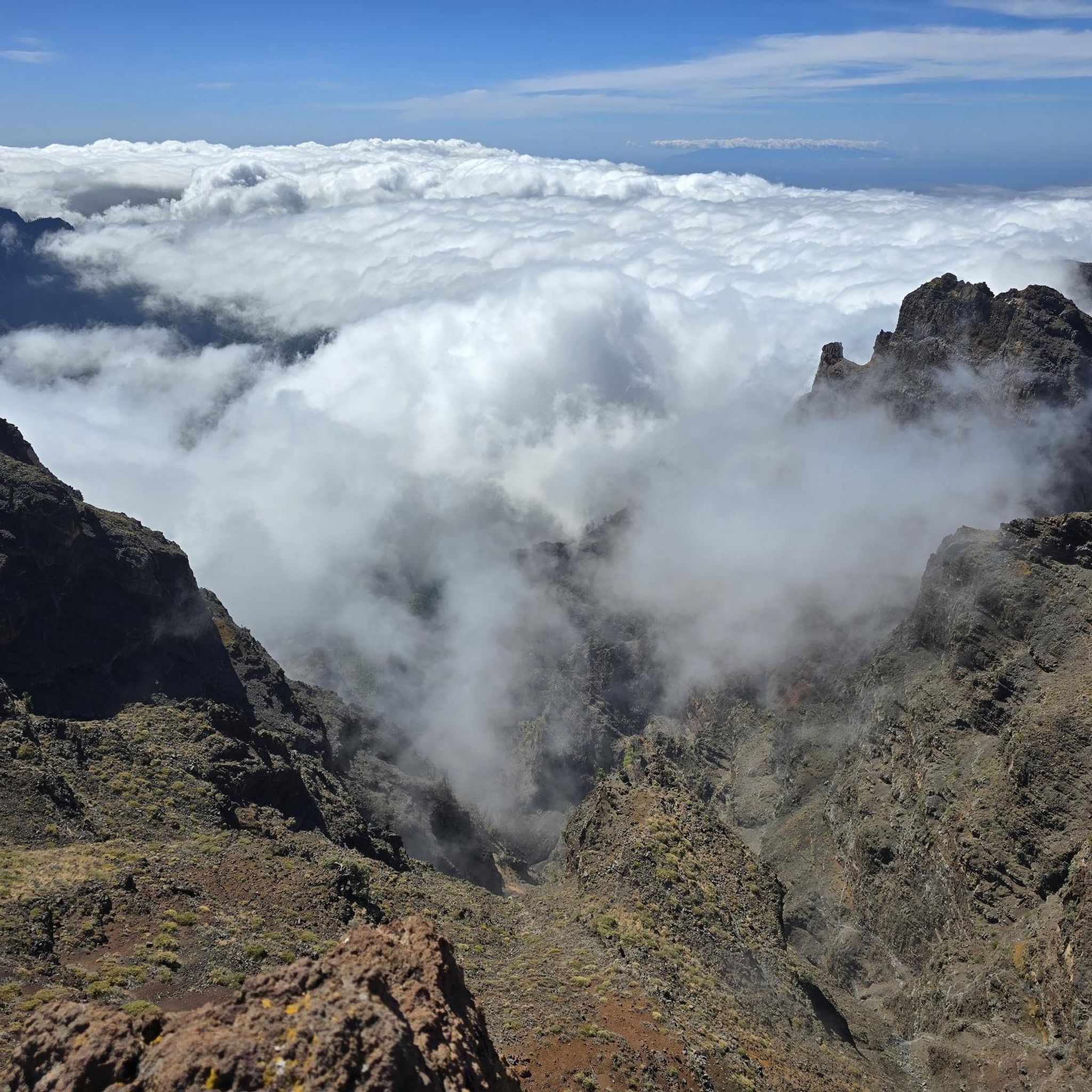
Very rough and technical, but very fun ‼️🎉
0
0
Frequently Asked Questions
How many running routes can I find in Ixtlahuacán Del Río?
Ixtlahuacán Del Río offers a diverse selection of over 15 running routes. These range from moderate paths to more challenging trails with significant elevation gain, catering to various fitness levels.
What kind of terrain can I expect on the jogging trails in Ixtlahuacán Del Río?
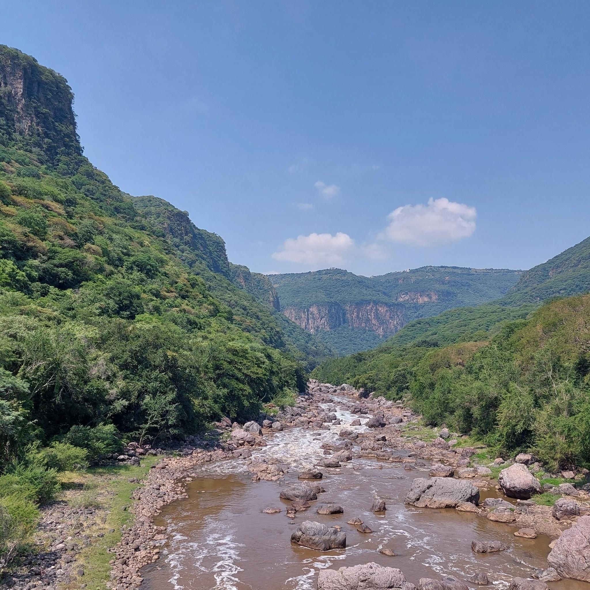
The region boasts varied topography, including flat terrains, semi-flat areas, and rugged sections with elevations reaching up to 1,900 meters (6,234 feet). You'll find routes around hills like Monte Grande, along canyons such as the Barranca del Río Santiago, and near dams and rivers, providing a mix of gentle paths and challenging uphill climbs.
Are there any easy running routes suitable for beginners in Ixtlahuacán Del Río?
While many routes offer a moderate to difficult challenge due to the varied topography, you can find paths that are less strenuous. For example, the Mirador del Oblato loop from Región Centro is rated as moderate and provides scenic views without extreme elevation changes, making it a good option for those looking for a less intense run.
Where can I find challenging running trails with significant elevation in the area?
For a more demanding experience, Ixtlahuacán Del Río has several difficult routes. The Cerro de La Higuera loop from Zoológico Guadalajara, for instance, covers over 33 kilometers with substantial elevation gain, perfect for experienced runners seeking a rigorous workout. Another challenging option is the Running loop from Zoológico Guadalajara, which is 6.3 km long and features over 550 meters of ascent.
Are there any circular running routes in Ixtlahuacán Del Río?
Yes, many of the running routes in the area are designed as loops, offering convenient circular paths. Popular options include the Estanque Seco loop from Quintas del Bosque, a 7 km moderate trail, and the Presa Colimilla loop from Zoológico Guadalajara, a longer 14.2 km difficult route.
What natural attractions or scenic viewpoints can I expect along the running trails?
Ixtlahuacán Del Río is rich in natural beauty. Many routes offer views of the impressive Barranca del Río Santiago, including the 'La Cola de Caballo' (Horsetail) waterfall. You can also explore areas around Presa 'Los Sauces' and various rivers and streams. The 'La Angostura' Interpretive Trail, though extensive, features spectacular landscapes, including the Giant Wall, Stone Slide, and a Bat Cave.
What do other runners enjoy most about jogging in Ixtlahuacán Del Río?
The running routes in Ixtlahuacán Del Río are highly rated by the komoot community, with an average score of 5.0 stars from over 11 reviews. Runners often praise the varied terrain, from scenic viewpoints overlooking canyons to paths through natural areas, providing diverse and engaging experiences.
Is Ixtlahuacán Del Río suitable for year-round outdoor activities like jogging?
Yes, the region's semi-arid climate with mild winters and an average annual temperature of 19°C (66°F) makes it comfortable for year-round outdoor pursuits. This pleasant climate is ideal for jogging and exploring the diverse landscapes throughout the year.
Are there any running routes near water features like dams or rivers?
Absolutely. The region is rich in hydrological resources. You can find picturesque running routes around Presa 'Los Sauces' and along various rivers and streams, including the Grande or Santiago River. These water features often create beautiful and refreshing backdrops for your run.
Are there any trails that offer a mix of running and opportunities to explore landmarks?
While specific landmarks directly on jogging routes aren't detailed, the region's natural features themselves serve as points of interest. The 'La Angostura' Interpretive Trail, for example, is an extensive route that promises an adventurous experience with spectacular landscapes and natural landmarks like the Giant Wall and Stone Slide, making it a great option for exploration during a run.
Can I find running routes that are accessible by public transport or have parking nearby?
While specific public transport details for each route are not provided, many routes originate from or pass near more populated areas, such as those starting from 'Zoológico Guadalajara' or 'Región Centro', which typically have better access to public transport or parking facilities. It's advisable to check the starting point of your chosen route for specific access information.
Most popular routes in Ixtlahuacán Del Río

Get inspired with the komoot mobile app


Didn’t find what you were looking for?
Check out more Running Trails & Routes throughout Ixtlahuacán Del Río below and find the perfect route in your destination.
Explore more
Browse the best Running Trails & Routes in other regions.
