The best road cycling routes in Pachuca De Soto
4.3
(4)
57
riders
5
rides
Road cycling in Pachuca De Soto features routes characterized by significant elevation changes and varied terrain. The region's landscape includes numerous hills and valleys, providing a challenging environment for road cyclists. Routes often traverse through areas with notable ascents and descents, offering diverse riding experiences. The topography supports both moderate and difficult road cycling routes.
Best road cycling routes in Pachuca De Soto
- The most popular road cycling route is Espindola – Peñas las Ventanas loop from Pachuca, a 26.5 miles (42.6 km) trail that takes 2 hours 30 minutes to complete. This moderate route features varied terrain with notable elevation changes.
- Another top favourite among local road cyclists is La Cruz – San Francisco loop from Pachuca, a difficult 40.2 miles (64.6 km) path. This route offers challenging climbs and expansive views across the landscape.
- Local road cyclists also love the Peñas las Ventanas – Lions loop from Pachuca, a 60.6 miles (97.6 km) trail leading through hilly landscapes, often completed in about 5 hours 32 minutes.
- Road cycling in Pachuca De Soto is defined by significant hills, varied elevation profiles, and open landscapes. The network offers options for different ability levels, from moderate to difficult.
- The routes in Pachuca De Soto are highly rated by the komoot community with an average score of 4.3 stars from over 4 reviews. More than 50 road cyclists have used komoot to explore Pachuca De Soto's varied terrain.
Last updated: May 20, 2026
3.0
(2)
15
riders
42.2km
02:27
840m
840m
Moderate road ride. Good fitness required. Some segments of this route may be unpaved and difficult to ride.
5.0
(1)
15
riders
64.6km
03:29
1,080m
1,080m
Hard road ride. Very good fitness required. Mostly well-paved surfaces and easy to ride.

Sign up for free
14
riders
97.6km
05:32
1,800m
1,800m
Hard road ride. Very good fitness required. Some segments of this route may be unpaved and difficult to ride.
6
riders
69.5km
03:42
1,140m
1,140m
Hard road ride. Very good fitness required. Some segments of this route may be unpaved and difficult to ride.
5.0
(1)
7
riders
38.5km
02:16
710m
710m
Moderate road ride. Good fitness required. Mostly well-paved surfaces and easy to ride.
Our route recommendations are based on thousands of hikes, rides, and runs completed by other people on komoot.
Start today with a free account
Your next adventure awaits.
Login or Signup
Popular around Pachuca De Soto
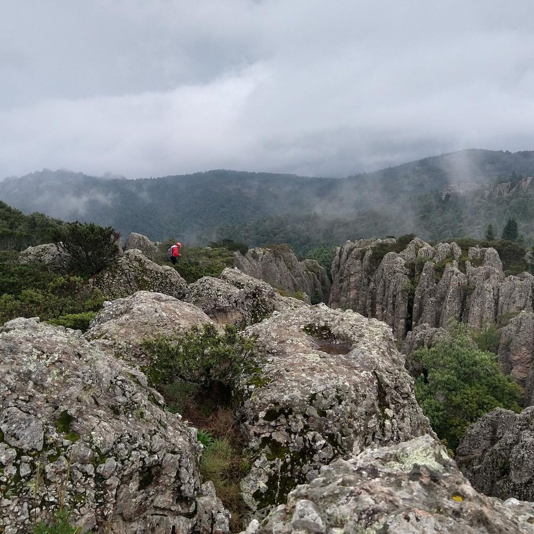
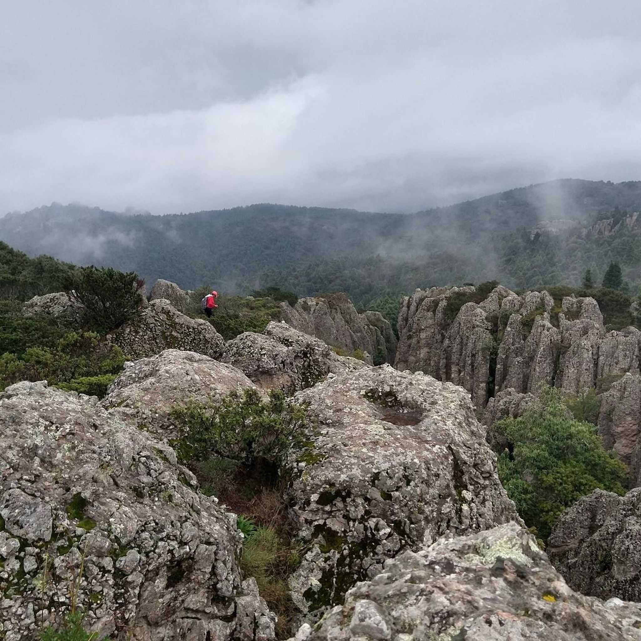
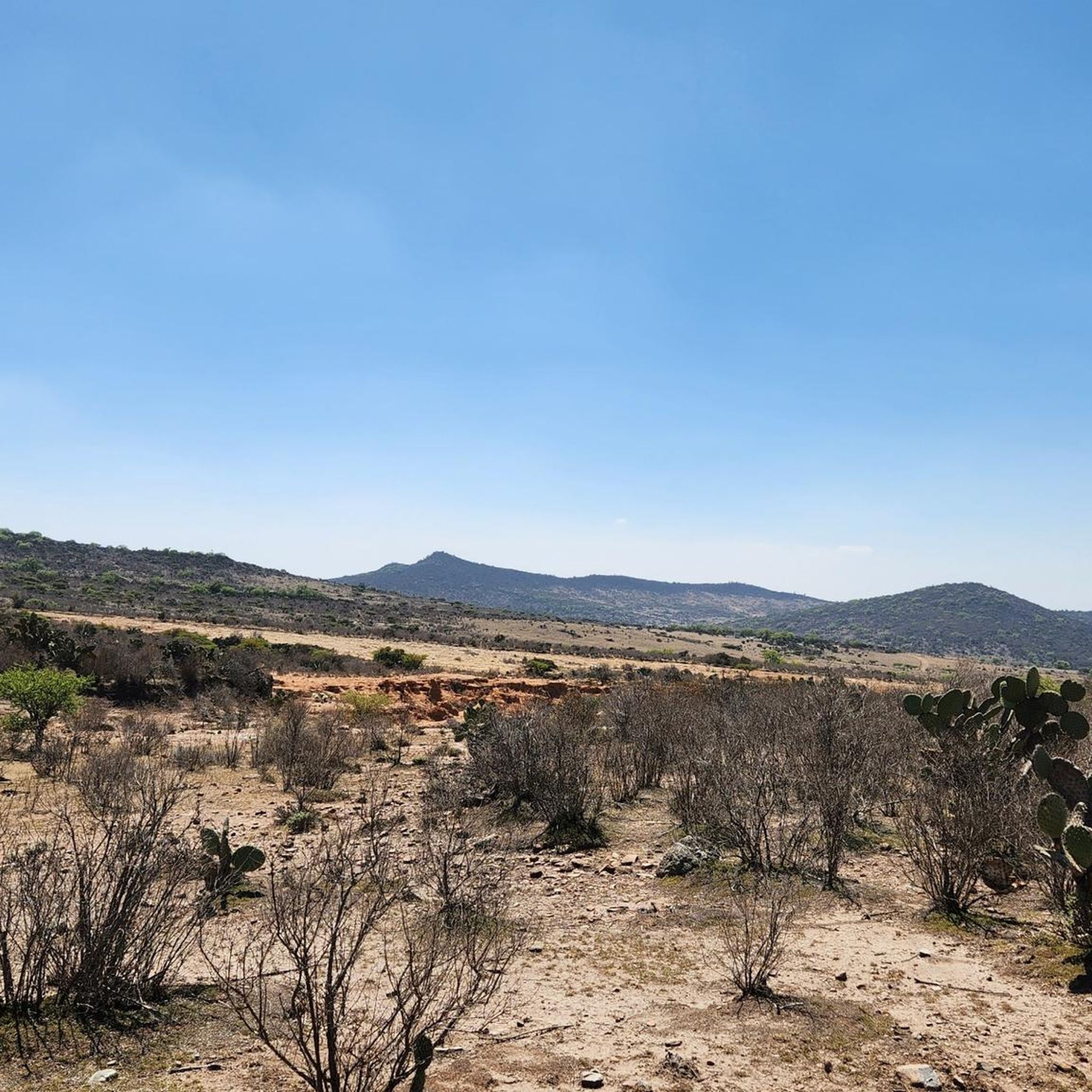
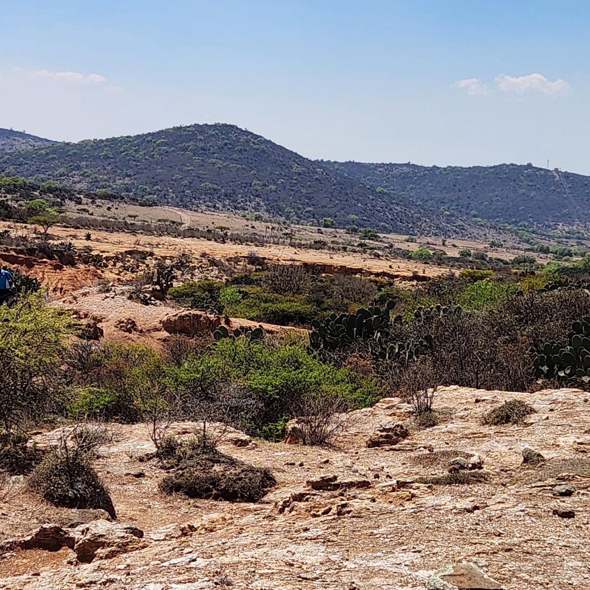
Tips from the Community

Moderate route, visible trails, wonderful places
0
0

Frequently Asked Questions
What kind of terrain can I expect on road cycling routes in Pachuca De Soto?
Road cycling in Pachuca De Soto is characterized by significant elevation changes, numerous hills, and varied terrain. You'll encounter both ascents and descents, providing a challenging and diverse riding experience across open landscapes.
Are there any road cycling routes suitable for beginners in Pachuca De Soto?
While many routes feature significant climbs, there are options for those seeking a moderate challenge. For instance, the Espindola – Peñas las Ventanas loop from Pachuca is a moderate 42.6 km route with varied terrain and notable elevation changes, taking about 2 hours 30 minutes.
What are some challenging road cycling routes for experienced riders?
Experienced road cyclists will find several difficult routes. The Peñas las Ventanas – Lions loop from Pachuca is a demanding 97.6 km trail through hilly landscapes, typically completed in about 5 hours 32 minutes. Another challenging option is the La Cruz – San Francisco loop from Pachuca, a 64.6 km path offering extensive climbs and expansive views.
How many road cycling routes are available in Pachuca De Soto?
There are 5 road cycling routes detailed in this guide for Pachuca De Soto, ranging from moderate to difficult in terms of challenge.
What is the typical distance and duration for road cycling routes in this region?
Routes in Pachuca De Soto vary significantly. You can find moderate loops like the Presa San Jerónimo loop from ICEA, which is 38.5 km and takes around 2 hours 16 minutes. Longer, more difficult routes, such as the Peñas las Ventanas – Lions loop from Pachuca, can be up to 97.6 km and require over 5 hours to complete.
Are there any loop trails for road cycling in Pachuca De Soto?
Yes, all the featured road cycling routes in Pachuca De Soto are designed as loops, allowing you to start and finish at the same point. Examples include the Cerro Hiloche – Pan-Pin loop from RA02C and the Espindola – Peñas las Ventanas loop from Pachuca.
What do other road cyclists enjoy most about road cycling in Pachuca De Soto?
The area is highly rated by the komoot community, with an average score of 4.3 stars from over 4 reviews. Cyclists often praise the challenging climbs, varied terrain, and the expansive views across the landscape that many routes offer.
What is the best time of year for road biking in Pachuca De Soto?
Given the significant elevation changes, spring and autumn generally offer the most pleasant temperatures for road cycling in Pachuca De Soto, avoiding the peak heat of summer and potential chill of winter at higher altitudes. Always check local weather forecasts before heading out.
What should I wear for road cycling in Pachuca De Soto?
Due to the varied terrain and elevation changes, it's advisable to wear layers that can be adjusted to changing temperatures. Standard road cycling gear, including a helmet, padded shorts, and appropriate footwear, is recommended. Bring enough water and nutrition for longer rides.
Are there scenic viewpoints along the road cycling routes in Pachuca De Soto?
Many routes in Pachuca De Soto traverse hilly landscapes, offering numerous opportunities for scenic views. Routes like the La Cruz – San Francisco loop from Pachuca are specifically noted for their expansive views across the region.
Is parking available near the road cycling trailheads in Pachuca De Soto?
While specific parking information for each trailhead isn't provided, routes typically start from accessible points within or near Pachuca. It's recommended to check the individual route details on komoot for suggested starting points and local parking options.
Most popular routes in Pachuca De Soto

Get inspired with the komoot mobile app


Explore more
Browse the best Road cycling routes in other regions.
