The best cycling routes in Xochimilco
4.7
(242)
1,988
riders
60
rides
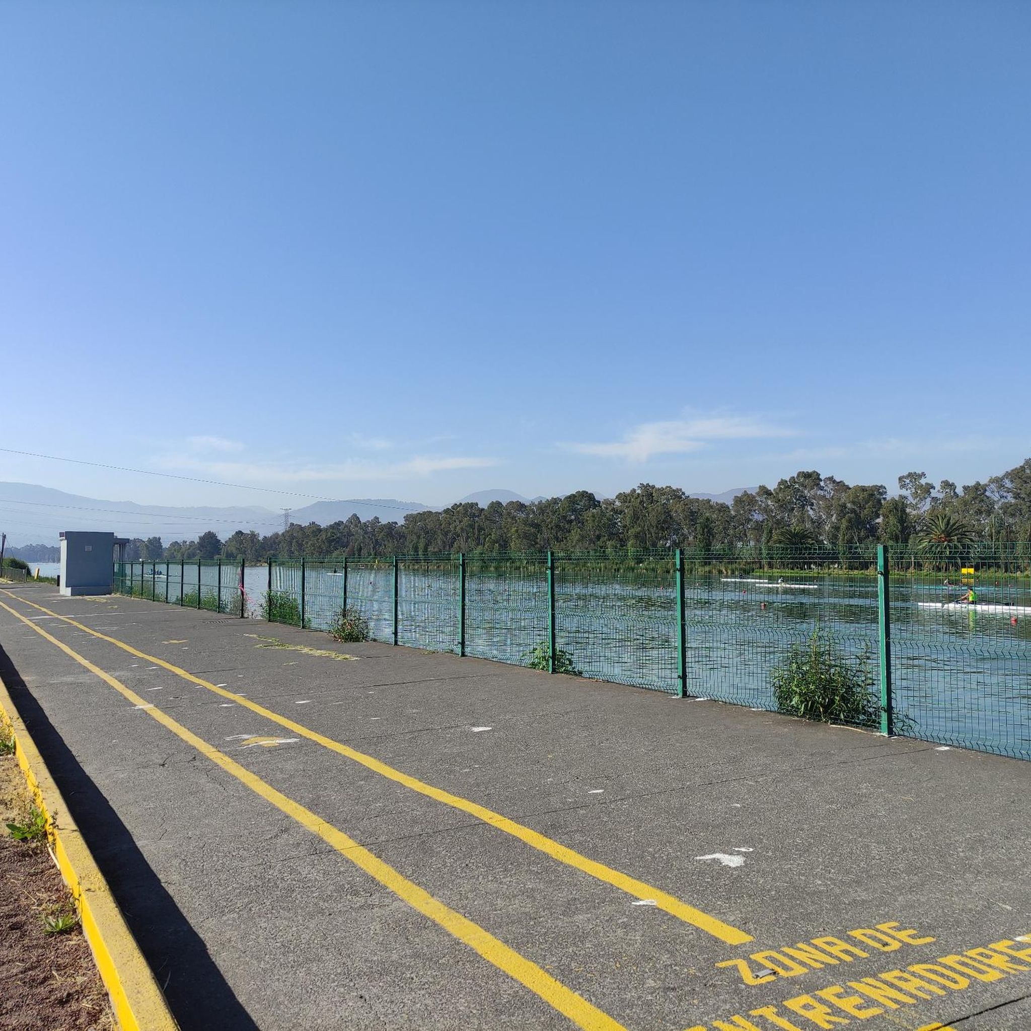
Touring cycling in Xochimilco offers routes through a distinctive aquatic landscape characterized by an extensive canal system and *chinampas*, artificial islands developed for agriculture. The region includes the Xochimilco Ecological Park, which features temperate forest, agricultural areas, and aquatic humid zones. Terrain around the canals is generally flat, while other routes can include significant elevation gains. This area provides a unique environment for cycling alongside tranquil waters and through diverse ecosystems.
Best touring cycling routes in Xochimilco
- The most popular touring cycling route is Embarcadero Fernando Celada – Abandoned gas station loop from Xochimilco, a 78.8 miles (126.8 km) trail that takes 8 hours 50 minutes to complete. This difficult route features substantial elevation gain through varied landscapes.
- Another top favourite among local touring cyclists is Santa Ana Tlacotenco Gate – Abandoned gas station loop from Tláhuac, a difficult 32.0 miles (51.5 km) path. This route includes significant climbs and offers views of the surrounding area.
- Local touring cyclists also love the Monument to Álvaro Obregón – Parque La Fuente loop from Tepepan, a 16.5 miles (26.6 km) trail leading through urban and green spaces, often completed in about 1 hour 33 minutes.
- Touring cycling in Xochimilco is defined by its canal system, *chinampas*, and the Xochimilco Ecological Park. The network offers options for different ability levels, from easy routes along flat waterways to more challenging paths with notable elevation.
- The routes in Xochimilco are highly rated by the komoot community with an average score of 4.7 stars from over 240 reviews. More than 2000 touring cyclists have used komoot to explore Xochimilco's varied terrain.
Last updated: July 2, 2026
5.0
(3)
39
riders
126km
08:48
2,350m
2,350m
Hard bike ride. Very good fitness required. Mostly paved surfaces. Suitable for all skill levels.
29
riders
51.5km
03:31
890m
890m
Hard bike ride. Very good fitness required. Mostly paved surfaces. Suitable for all skill levels.

Sign up for free
5.0
(2)
18
riders
86.2km
06:00
1,520m
1,520m
Hard bike ride. Very good fitness required. Mostly paved surfaces. Suitable for all skill levels.
4.2
(5)
14
riders
Moderate bike ride. Good fitness required. Mostly paved surfaces. Suitable for all skill levels.
3.0
(2)
12
riders
26.6km
01:33
60m
60m
Easy bike ride. Great for any fitness level. Mostly paved surfaces. Suitable for all skill levels.
5.0
(1)
15
riders
53.2km
03:07
100m
100m
Moderate bike ride. Good fitness required. Mostly paved surfaces. Suitable for all skill levels.
12
riders
53.1km
03:42
900m
900m
Hard bike ride. Very good fitness required. Mostly paved surfaces. Suitable for all skill levels.
7
riders
40.2km
02:35
460m
470m
Hard bike ride. Very good fitness required. Mostly paved surfaces. Suitable for all skill levels.
5
riders
113km
08:06
2,070m
2,070m
Hard bike ride. Very good fitness required. Mostly paved surfaces. Suitable for all skill levels.
6
riders
93.9km
07:12
1,760m
1,760m
Hard bike ride. Very good fitness required. Mostly paved surfaces. Suitable for all skill levels.
Get access to more routes and recommendations from other explorers.
Sign up for free
Already have an account?
Our route recommendations are based on thousands of hikes, rides, and runs completed by other people on komoot.
Start today with a free account
Your next adventure awaits.
Login or Signup
Tips from the Community

And much more. Be sure to read up on the history beforehand.
0
0

Only on car-free Sundays can you stop in front of the Angel of Peace and view it "from close range".
0
0

This is a spectacular bronze statue representing the Roman goddess of the hunt. It was unveiled in 1942.
0
0
This is one of the city's most iconic landmarks. The column and statue together reach almost 50 meters in height. It symbolizes the freedom of the Mexican people from Spanish rule.
0
0

You can't ride a bike, but it's a fantastic alley full of history and beautiful murals.
0
0

Just past the access feather and the "rest" is this perfect photo spot 📸 where you can see the rock wall and the forest of the Magdalena River ravine. While you're climbing, you can take a photo; you don't even need to get off, although you can certainly use the excuse (if you need it) to rest and take a good photo of such a magical place. It's one of my favorite spots on this beautiful route in Los Dinamos. Enjoy your climb! )
1
0
After crossing the canal there is a narrow alleyway of about 150 m, which I would not recommend taking at night, or if it is lonely.
0
0
One of the strange churches in Mexico City, large, bulky and striking for its gray cement finish, a place to visit and get to know
2
0
Frequently Asked Questions
How many touring cycling routes are available in Xochimilco?
Xochimilco offers a diverse selection of over 60 touring cycling routes. These routes cater to various skill levels, from easy rides along the canals to more challenging paths with significant elevation changes.
What types of terrain can I expect on Xochimilco's cycling routes?
The terrain in Xochimilco varies significantly. Around the iconic canal system and chinampas, you'll find mostly flat, tranquil paths ideal for relaxed cycling. However, other routes, particularly those extending into the Xochimilco Ecological Park or towards viewpoints, can feature substantial elevation gains and varied surfaces, including temperate forest land.
Are there family-friendly cycling routes in Xochimilco?
Yes, Xochimilco has several easy routes suitable for families and beginners. These often follow the flat paths alongside the canals, offering a pleasant and accessible cycling experience. One such route is the Monument to Álvaro Obregón – Parque La Fuente loop from Tepepan, which is 16.5 miles (26.6 km) long and considered easy.
What natural features and wildlife can I observe while cycling in Xochimilco?
Xochimilco is rich in natural beauty and biodiversity. Cyclists can explore the extensive canal system, the unique chinampas (artificial islands), and the Xochimilco Ecological Park. The wetlands are a critical habitat for species like the critically endangered axolotl and are a haven for birdwatchers, with numerous bird species such as kingfishers, great egrets, and herons. You might also spot other wildlife like insects, rodents, and rabbits.
Are there any scenic viewpoints along the cycling routes?
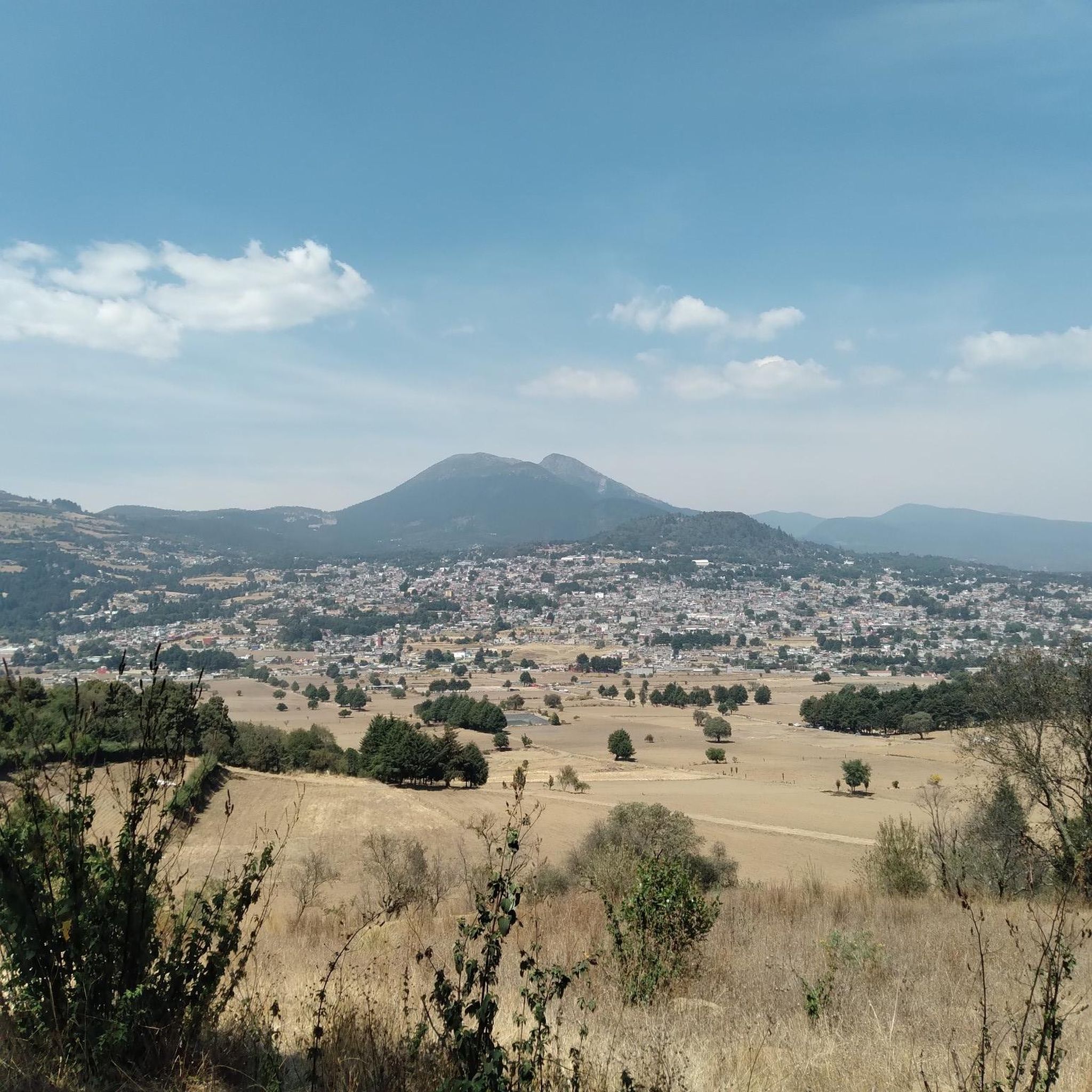
Yes, some cycling routes in Xochimilco lead to breathtaking viewpoints. For instance, routes that pass through areas like La Loma can offer panoramic vistas, and on clear days, you might even catch a glimpse of distant volcanoes. The View of the Volcanoes from Ciénega Grande, Xochimilco is a notable highlight.
What cultural landmarks or attractions can I visit while cycling?
Cycling through Xochimilco offers a deep dive into its rich pre-Hispanic history and vibrant traditions. You can witness local markets, traditional farming on chinampas, and explore sites like the Xochimilco historical site itself. The Xochimilco Ecological Park also integrates much of the canal system and offers educational experiences.
What is the best time of year to go touring cycling in Xochimilco?
Xochimilco generally offers pleasant cycling conditions year-round. However, the dry season (roughly November to April) typically provides more consistent weather with less chance of rain, making it ideal for longer rides. The lush greenery is vibrant during the rainy season (May to October), but afternoon showers are common.
Are there circular cycling routes available?
Many of Xochimilco's touring cycling routes are designed as loops, allowing you to start and end at the same point. An example of a challenging loop is the Santa Ana Tlacotenco Gate – Abandoned gas station loop from Tláhuac, which covers 32.0 miles (51.5 km) with significant climbs.
How difficult are the touring cycling routes in Xochimilco?
The routes in Xochimilco range from easy to difficult. Approximately 15 routes are considered easy, perfect for a leisurely ride. There are 23 moderate routes, offering a good balance of distance and challenge, and 24 difficult routes for experienced cyclists seeking significant elevation gains and longer distances, such as the Casa de Romero de Terreros – Rest Area Under the Tree loop from Xomali.
What do other touring cyclists say about cycling in Xochimilco?
The touring cycling experience in Xochimilco is highly regarded by the komoot community, with an average rating of 4.7 stars from over 240 reviews. Cyclists frequently praise the unique aquatic landscapes, the cultural immersion offered by the chinampas and canals, and the diverse range of routes catering to all abilities.
Is public transport available to reach the cycling routes in Xochimilco?
Yes, Xochimilco is accessible via public transport from Mexico City. The Light Rail (Tren Ligero) connects to the Xochimilco station, which is a convenient starting point for many routes, particularly those exploring the canal areas. From there, you can often find local transport or cycle directly to your chosen route's beginning.
Where can I park my car if I drive to Xochimilco for cycling?
Parking is generally available near the main embarcaderos (docks) and popular starting points for cycling routes in Xochimilco. Many of these areas have designated parking lots, though availability and fees may vary. It's advisable to arrive early, especially on weekends, to secure a spot.
Are there any long-distance touring routes in Xochimilco?
Yes, Xochimilco offers several long-distance touring routes for those looking for an extended ride. One of the most substantial is the Embarcadero Fernando Celada – Abandoned gas station loop from Xochimilco, which spans 78.8 miles (126.8 km) and involves significant elevation gain, making it a challenging full-day adventure.
Most popular attractions in Xochimilco

Get inspired with the komoot mobile app


Explore more
Browse the best Cycling routes in other regions.
