The best road cycling routes in Tlalpan
4.8
(149)
2,354
riders
66
rides
Road cycling in Tlalpan offers diverse routes through extensive natural areas, providing an escape from the urban environment. The region features varied terrain, from mostly well-paved surfaces suitable for road bikes to challenging paths with significant elevation gain. Cyclists can explore areas characterized by wooded reserves, ecological parks, and hilly landscapes. These natural settings provide both exercise opportunities and a connection with nature.
Best road cycling routes in Tlalpan
- The most popular road cycling route is View of Pico del…
Last updated: August 26, 2026
5.0
(1)
57
riders
Moderate road ride. Good fitness required. Mostly well-paved surfaces and easy to ride.
35
riders
60.3km
02:38
330m
330m
Moderate road ride. Good fitness required. Mostly well-paved surfaces and easy to ride.

Sign up for free
5.0
(2)
25
riders
29.0km
01:31
550m
550m
Moderate road ride. Good fitness required. Mostly well-paved surfaces and easy to ride.
4.8
(4)
20
riders
88.0km
03:56
850m
850m
Moderate road ride. Good fitness required. Mostly well-paved surfaces and easy to ride.
5.0
(1)
27
riders
73.0km
04:06
1,530m
1,530m
Hard road ride. Very good fitness required. Mostly well-paved surfaces and easy to ride.
5.0
(2)
17
riders
Easy road ride. Great for any fitness level. Mostly well-paved surfaces and easy to ride.
20
riders
114km
05:47
1,340m
1,340m
Hard road ride. Very good fitness required. Mostly well-paved surfaces and easy to ride.
3
riders
121km
06:32
2,250m
2,250m
Hard road ride. Very good fitness required. Mostly well-paved surfaces and easy to ride.
15
riders
25.4km
01:08
160m
160m
Easy road ride. Great for any fitness level. Mostly well-paved surfaces and easy to ride.
14
riders
Moderate road ride. Good fitness required. Mostly well-paved surfaces and easy to ride.
Get access to more routes and recommendations from other explorers.
Sign up for free
Already have an account?
Our route recommendations are based on thousands of hikes, rides, and runs completed by other people on komoot.
Start today with a free account
Your next adventure awaits.
Login or Signup



Tips from the Community

This is a spectacular bronze statue representing the Roman goddess of the hunt. It was unveiled in 1942.
0
0
This is one of the city's most iconic landmarks. The column and statue together reach almost 50 meters in height. It symbolizes the freedom of the Mexican people from Spanish rule.
0
0

Affordable set meals and good lamb barbecue inside the market. And good beers at La Internacional.
0
0

La Loma, a classic cycling spot where the climb from San Gregorio ends (if you're coming from Xochimilco), is also the crowning glory when coming from Tlayacapan (30 km, almost all uphill, 1,200 m total climb) or Juchitepec (8 km, 350 m total climb). You can enjoy the panoramic view with quesadillas, coffee, beer, pulque, etc. Weather permitting, you'll be able to see the volcanoes in the distance. Whether you're heading elsewhere, a stop here is definitely a must. Enjoy the view and have a safe trip to your destination!
2
0

Excellent vibe, very good rides and the food is quite delicious. Don't forget to try the sweet and savory toust.
0
0

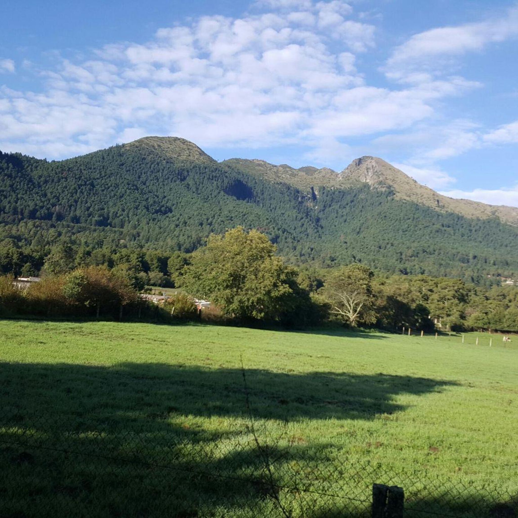
a very panoramic view ideal for taking a short break, there are stalls where you can eat with the group.
0
0
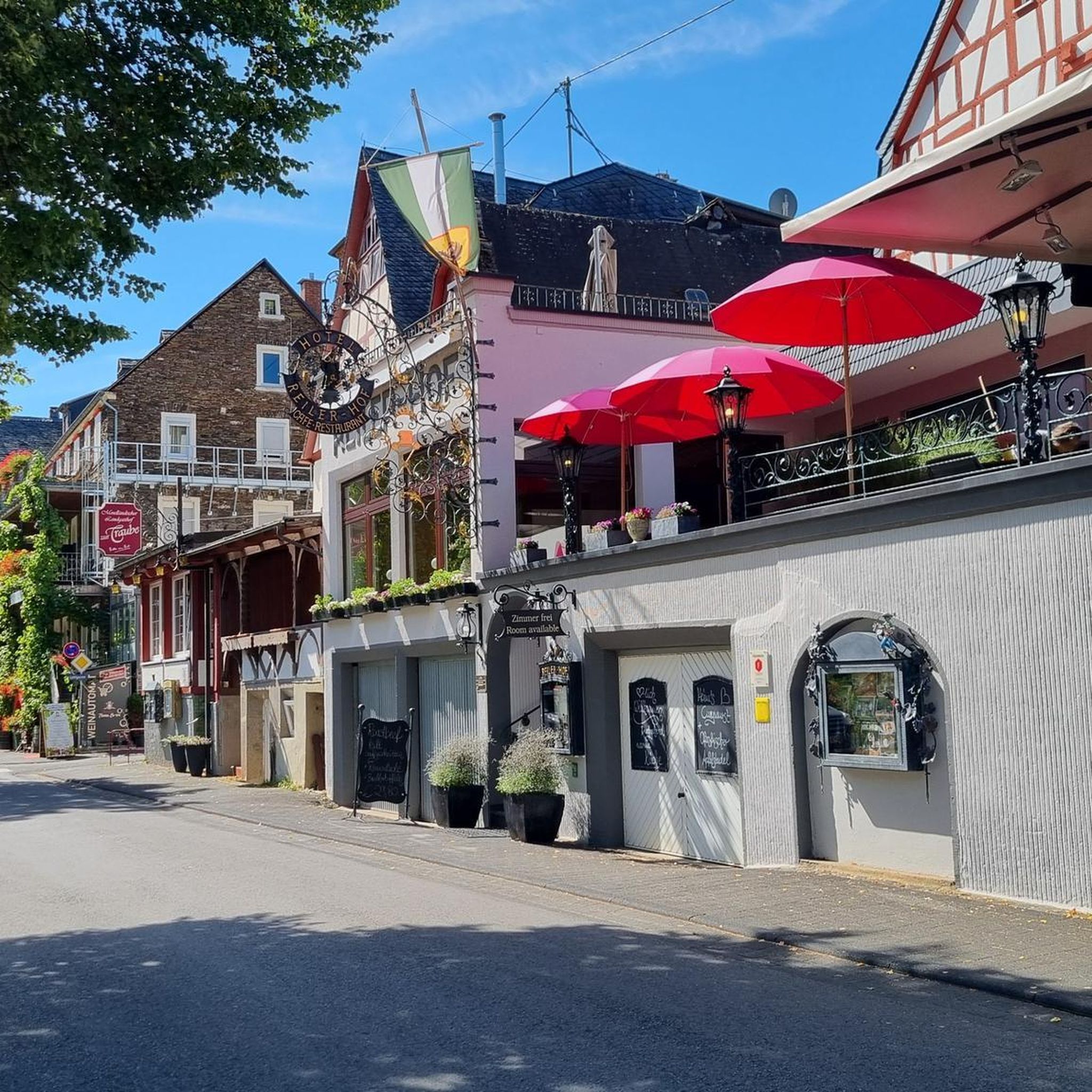
This colorful arch welcomes you to Xochimilco (or bids you farewell). It's currently in poor condition but still noticeable. At this point on the climb toward La Loma, you can stop for refreshments if necessary, or simply continue on to your destination or training goal. Fun fact: There's almost always a man at his stall at this point with his dogs and loud music.
2
0
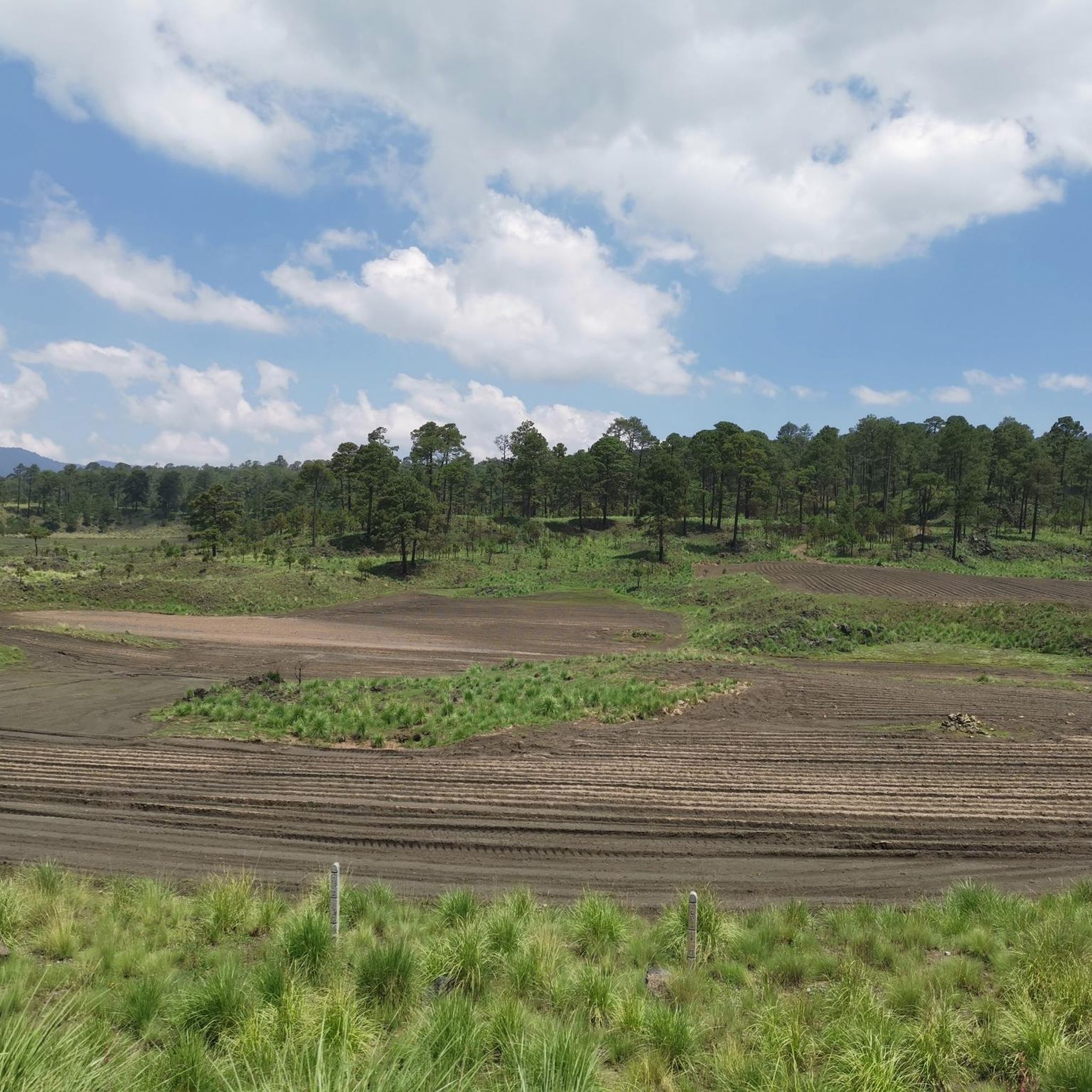
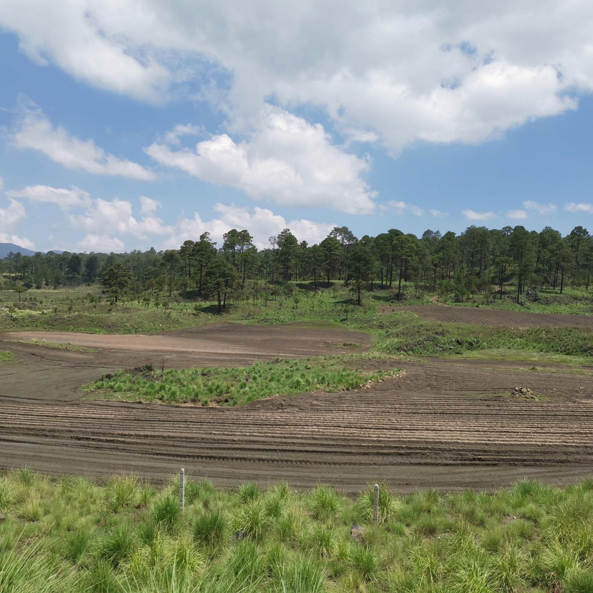
A descent to enjoy the beautiful panoramic view of the volcanoes or an 8km climb to La Loma, which means the route is almost at the end of its climbs. If you're going downhill, the asphalt has some potholes and sections in poor condition, but overall the pavement is good, and the curves are both respectable and enjoyable at good speeds. On the slope, you can enjoy your maximum speed. If you're going uphill, don't forget to carry fluids because the heat can be intense at times, and the maximum incline of 12% will be a nightmare without hydration or carbohydrates. There's plenty of supplies in Juchitepec.
3
0
Frequently Asked Questions
How many road cycling routes are available in Tlalpan?
Tlalpan offers a diverse selection of 14 road cycling routes. These routes cater to various skill levels, including 5 easy, 8 moderate, and 1 difficult option, providing ample choice for cyclists.
What is the best time of year for road cycling in Tlalpan?
The best time for road cycling in Tlalpan is generally during the dry season, which typically runs from November to May. During these months, you can expect more stable weather conditions, making for more enjoyable rides. The rainy season, from June to October, can bring afternoon showers, which might impact surface conditions on some routes.
Are there routes suitable for beginners or families in Tlalpan?
Yes, Tlalpan has several easy road cycling routes perfect for beginners or families. For instance, the Fuentes Brotantes Viewpoint – Tree-Lined Road in Mexico loop from Parque Nacional Fuentes Brotantes de Tlalpan is an easy 13.2-mile (21.3 km) path offering scenic rides through tree-lined areas. Another accessible option is the Cu – Tlalpan Center loop from Huipulco, which is 15.8 miles (25.4 km) and also rated easy.
Are there challenging road cycling routes in Tlalpan?
Absolutely. Tlalpan's varied terrain includes challenging routes with significant elevation gains. A notable difficult route is the 4th Dinamo Viewpoint – Cuarto Dínamo Ruins loop from Xomali, which spans 45.4 miles (73.0 km) and features substantial climbs, making it ideal for experienced cyclists seeking a demanding ride.
What natural features can I expect to see along Tlalpan's road cycling routes?
Tlalpan's road cycling routes traverse diverse natural landscapes. You can expect to see extensive wooded reserves like Bosque de Tlalpan, ecological parks, and hilly terrain. Routes often offer views of prominent features such as Pico del Águila and the dramatic volcanic landscapes influenced by Volcán Xitle, providing a refreshing escape into nature.
Are there any viewpoints or landmarks along the road cycling routes in Tlalpan?
Many routes in Tlalpan offer scenic viewpoints and pass by interesting landmarks. For example, the View of Pico del Águila loop from Reserva Ecológica Comunitaria San Nicolás Totolapan provides views of Pico del Águila. The 4th Dinamo Viewpoint – Cuarto Dínamo Ruins loop from Xomali includes a viewpoint and passes by the Cuarto Dínamo Ruins. You might also encounter the Bosque de Tlalpan, a significant wooded reserve.
Is parking available near the popular road cycling routes in Tlalpan?
Yes, parking is generally available near popular starting points for road cycling routes in Tlalpan. For routes around Parque Nacional Fuentes Brotantes de Tlalpan, you can often find designated parking areas. Similarly, access points for routes like those near the 4th Dinamo or Desierto de los Leones typically have parking facilities, though it's always good to check local signage.
How can I access Tlalpan's road cycling routes using public transport?
Many of Tlalpan's road cycling routes are accessible via public transport. For routes originating from areas like Parque Nacional Fuentes Brotantes de Tlalpan or Xomali, various bus lines or local transport options can get you close to the starting points. Mexico City's public transport network, including the Metro and Metrobús, can connect you to the southern reaches of the city, from where local connections to Tlalpan's natural areas are available.
Are permits required for cycling in Tlalpan's natural parks?
For general cycling on established routes within Tlalpan's natural parks like Parque Nacional Fuentes Brotantes de Tlalpan or Bosque de Tlalpan, specific permits are typically not required for recreational use. However, it's always advisable to check the official regulations of each park or protected area before your visit, especially for organized events or larger groups.
Are there cafes or restaurants near the road cycling routes in Tlalpan?
Yes, you can find cafes and restaurants near several road cycling routes in Tlalpan. Areas around Parque Nacional Fuentes Brotantes de Tlalpan and the general Tlalpan Centro district offer various dining options. The charming San Andrés Totoltepec area is also known for its vibrant local markets, providing opportunities for refreshment and local culinary experiences after your ride.
Are there any loop routes available for road cycling in Tlalpan?
Many of Tlalpan's road cycling routes are designed as loops, offering convenient starting and ending points. Examples include the View of Pico del Águila loop from Reserva Ecológica Comunitaria San Nicolás Totolapan, the Fuentes Brotantes Viewpoint – Tree-Lined Road in Mexico loop from Parque Nacional Fuentes Brotantes de Tlalpan, and the 4th Dinamo Viewpoint – Cuarto Dínamo Ruins loop from Xomali, all providing circular journeys.
What do other road cyclists enjoy most about road cycling in Tlalpan?
The road cycling experience in Tlalpan is highly rated by the komoot community, with an average score of 4.9 stars from over 160 reviews. Cyclists frequently praise the region's diverse terrain, from well-paved surfaces to challenging climbs, and the refreshing escape it offers from the urban environment. The extensive natural areas, including wooded reserves and ecological parks, are often highlighted for their scenic beauty and tranquil atmosphere.
Most popular attractions in Tlalpan

Get inspired with the komoot mobile app


Didn’t find what you were looking for?
Check out more Road cycling routes throughout Tlalpan below and find the perfect route in your destination.
Explore more
Browse the best Road cycling routes in other regions.
