The best running trails in La Magdalena Contreras
4.7
(76)
7,332
runners
85
runs
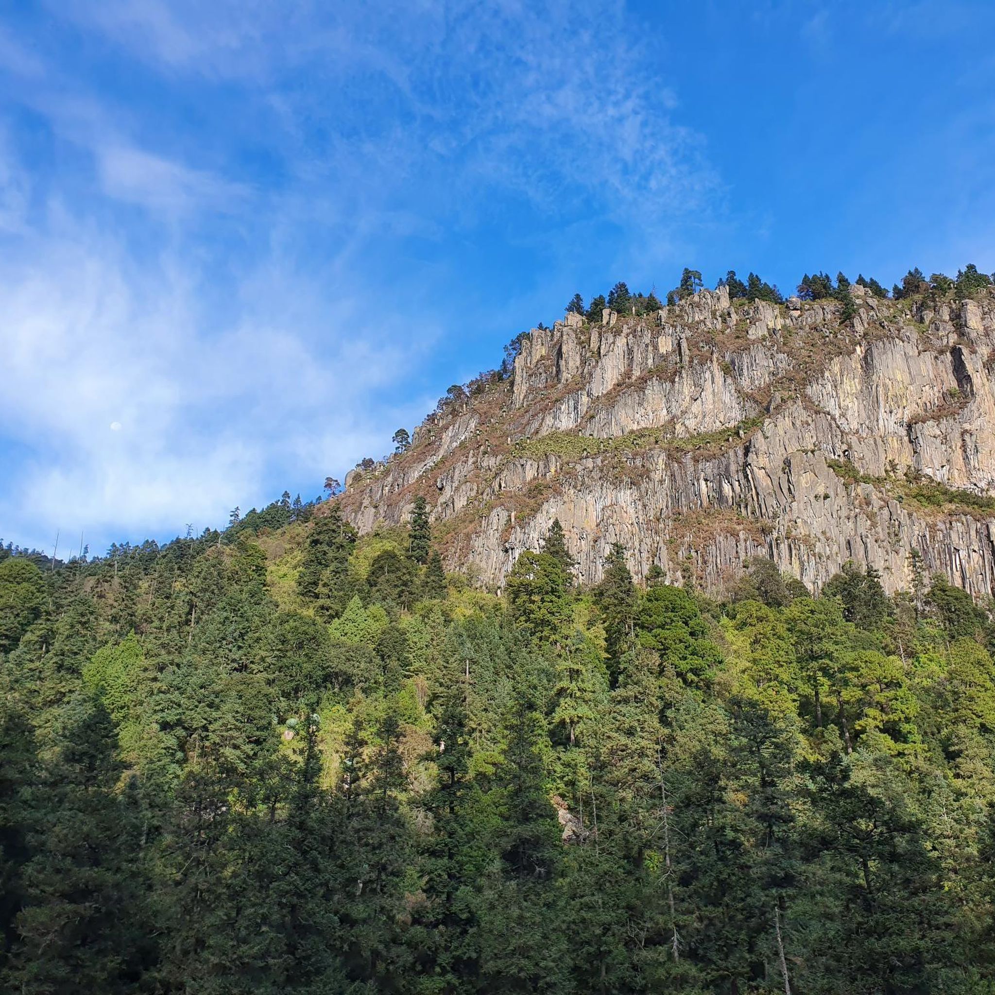
Jogging routes in La Magdalena Contreras offer a diverse range of running experiences within this region of Mexico City. The area is characterized by its ecological reserves, such as San Nicolás Totolapan and Bosque de Tlalpan, providing forested trails and varied terrain. Runners can expect routes that navigate through green spaces, alongside urban fringes, and up hills, with some trails featuring significant elevation changes. This landscape provides options for both leisurely runs and more challenging long-distance efforts.
Best jogging routes…
Last updated: July 3, 2026
33
runners
8.86km
01:01
260m
260m
Moderate run. Good fitness required. Mostly paved surfaces. Suitable for all skill levels.
33
runners
Hard run. Very good fitness required. Mostly paved surfaces. Suitable for all skill levels.

Sign up for free
17
runners
Moderate run. Good fitness required. Mostly paved surfaces. Suitable for all skill levels.
25
runners
29.3km
03:42
980m
980m
Hard run. Very good fitness required. Mostly paved surfaces. Suitable for all skill levels.
13
runners
Hard run. Very good fitness required. Mostly paved surfaces. Suitable for all skill levels.
5.0
(2)
13
runners
Hard run. Very good fitness required. Mostly accessible paths. Some sure footedness required.
8
runners
10.7km
01:07
100m
100m
Moderate run. Good fitness required. Mostly paved surfaces. Suitable for all skill levels.
8
runners
9.76km
01:10
280m
290m
Moderate run. Good fitness required. Mostly paved surfaces. Suitable for all skill levels.
7
runners
5.16km
00:33
70m
70m
Moderate run. Good fitness required. Mostly paved surfaces. Suitable for all skill levels.
5.0
(1)
5
runners
29.7km
03:44
950m
940m
Hard run. Very good fitness required. Mostly paved surfaces. Suitable for all skill levels.
Get access to more routes and recommendations from other explorers.
Sign up for free
Already have an account?
Our route recommendations are based on thousands of hikes, rides, and runs completed by other people on komoot.
Start today with a free account
Your next adventure awaits.
Login or Signup

Tips from the Community

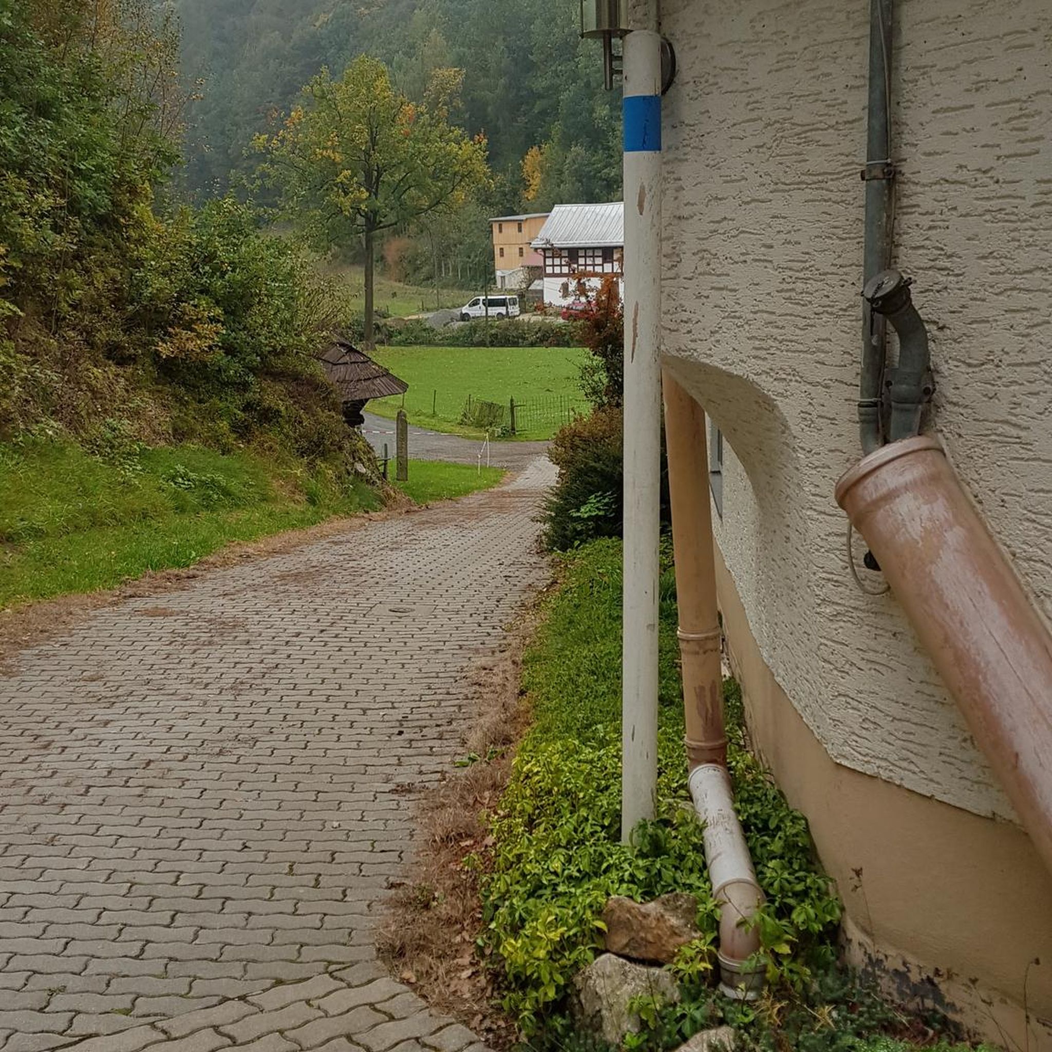
The colorful streets of Magdalena Contreras that adorn the place, only at night I prefer to avoid them if I go alone, but even so they are of little risk
4
0

This walking alley has a beautiful mural painting, and the end of which you can see the Sagrada familia parish. Just be aware that it's not the most safe place, so go only at daylight and not alone.
1
0
A new monument very well done and taking advantage of the public space. It is part of the Contreras Railway Park-Museum where the old Mexico-Cuernavaca Line C Train Station was, which is currently the cycle path that still connects the two states.
3
0

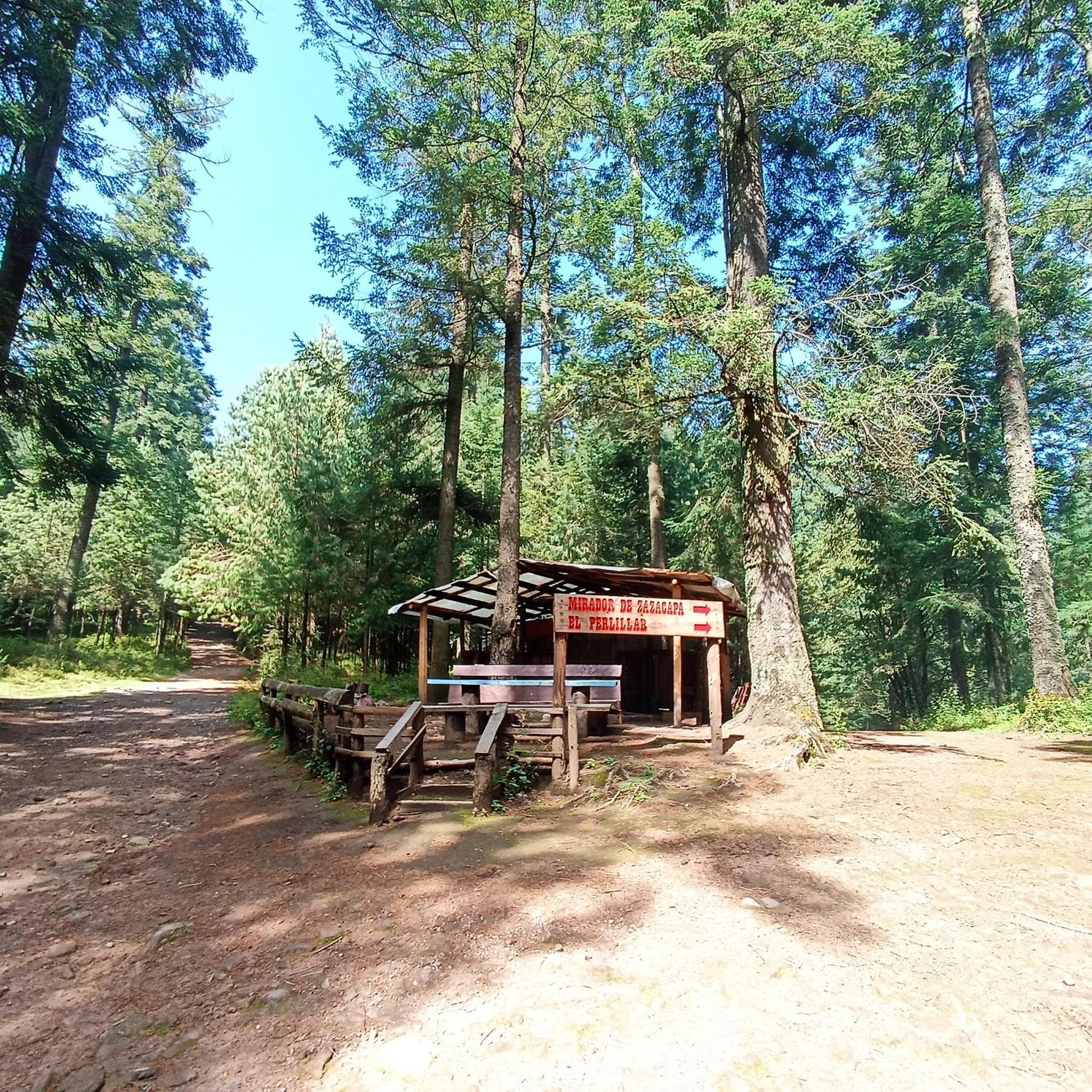
Open from Tuesday to Sunday from 5:00 a.m. to 4:30 p.m.!!!
0
0

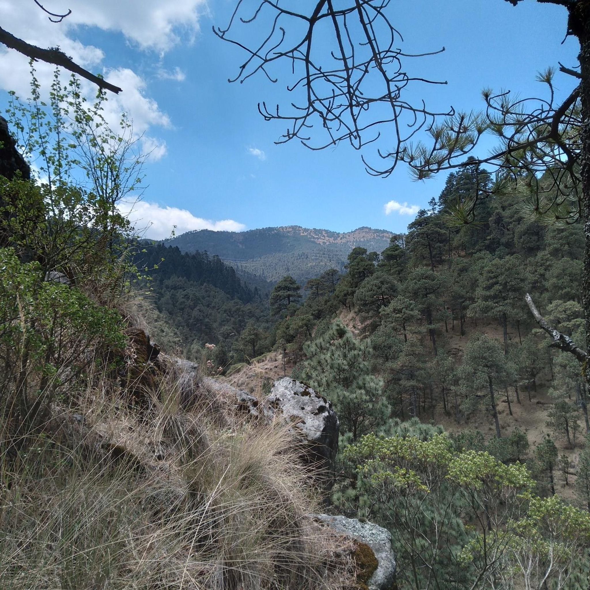
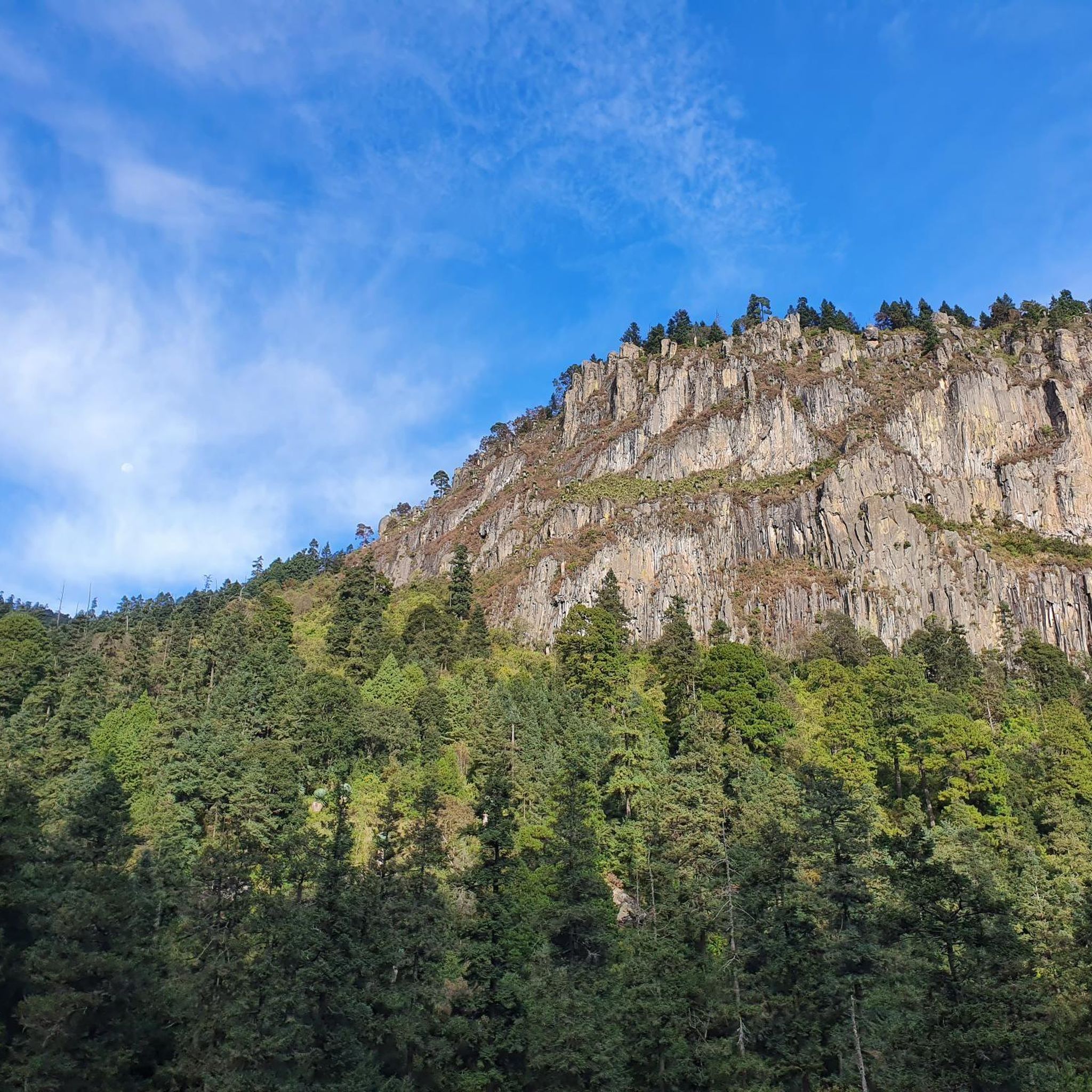
The mountain route is excellent for sweating hard, especially the climb.
0
0

Excellent place to eat pozole after a shoot 😉
0
0
Frequently Asked Questions
How many running routes are available in La Magdalena Contreras?
There are nearly 100 running routes documented in La Magdalena Contreras on komoot, offering a wide range of options for all skill levels. These include 11 easy, 61 moderate, and 26 difficult trails.
Are there easy running trails suitable for beginners or families in La Magdalena Contreras?
Yes, La Magdalena Contreras offers 11 easy running routes perfect for beginners or families. A good option is the Pozolería Zirahuén loop from Colonia Jardines del Pedregal, which is a moderate 3.2-mile (5.2 km) trail with minimal elevation gain, providing a pleasant and accessible experience.
What are some challenging long-distance running options in the area?
For experienced runners seeking a challenge, La Magdalena Contreras has 26 difficult routes. Consider the demanding Pozolería Zirahuén loop from Reserva Ecológica Comunitaria San Bernabé Ocotepec, a 20.2-mile (32.5 km) path with significant elevation gain, or the Las Palomas – Cerro Cuilotepec loop from Colonia Pedregal de San Nicolás 4a. Sección, which spans 18.5 miles (29.7 km).
Are most running routes in La Magdalena Contreras circular?
Many of the running routes in La Magdalena Contreras are designed as loops, allowing you to start and finish at the same point. Examples include the popular Bosque de Tlalpan loop from El Colegio de México and the Alcantarilla Alley loop from La Magdalena Contreras.
What kind of terrain can I expect on the jogging trails?
The terrain in La Magdalena Contreras is diverse, ranging from forested paths within ecological reserves like San Nicolás Totolapan and Bosque de Tlalpan, to trails that navigate alongside urban fringes. You can expect varied surfaces, including dirt paths, some paved sections, and routes with significant elevation changes, offering both flat stretches and moderate to steep climbs.
Are there any interesting landmarks or attractions along the running routes?
Yes, several routes pass by or are near interesting points. For instance, you might encounter the Cuarto Dínamo Ruins, offering a glimpse into local history, or enjoy views from the Mirador de la Virgen. The region's ecological reserves themselves, like Ejidal Park “San Nicolás Totoloapan”, are significant natural attractions.
Is it possible to access the running trails using public transport?
While specific public transport details vary by starting point, many areas in La Magdalena Contreras, especially those closer to urban centers or major parks like Bosque de Tlalpan, are generally accessible via Mexico City's public transportation network. It's advisable to check local bus routes or metro connections to your chosen trailhead.
Are the running trails in La Magdalena Contreras dog-friendly?
Many natural areas and parks in Mexico City, including parts of La Magdalena Contreras, are generally dog-friendly, especially on leash. However, specific rules can vary by ecological reserve or park. It's always best to check local signage or park regulations for the specific trail you plan to run with your dog.
What do other runners say about their experience jogging in La Magdalena Contreras?
The running routes in La Magdalena Contreras are highly rated by the komoot community, with an average score of 4.9 stars from over 70 reviews. Runners frequently praise the beautiful natural scenery, varied terrain, and the opportunity for both leisurely runs and challenging long-distance efforts within the ecological reserves.
Are there any routes that offer views or pass through scenic natural areas?
Absolutely. Many routes wind through the region's ecological reserves and forested areas, providing scenic views and natural beauty. For example, the Las Canoas – Puerta del Cielo loop from Reserva Ecológica Comunitaria San Nicolás Totolapan offers expansive natural vistas, and the Valle Marlboro (El Aguaje) is a notable forest area.
When is the best time of year to go jogging in La Magdalena Contreras?
La Magdalena Contreras, like much of Mexico City, enjoys a temperate climate year-round. The dry season (roughly November to April) offers cooler, less humid conditions ideal for running. During the rainy season (May to October), mornings are often clear before afternoon showers, which can make trails muddy but also refresh the air and vegetation.
Are there facilities like cafes or restrooms near the running trails?
While some larger parks or popular trailheads might have basic facilities or nearby vendors, amenities like cafes and dedicated restrooms are not universally available directly on all trails, especially in more remote sections of ecological reserves. It's advisable to plan accordingly and carry your own water and snacks. The Fishermen's Rest Center is one example of a facility in the area.
Most popular routes in La Magdalena Contreras
Most popular attractions in La Magdalena Contreras

Get inspired with the komoot mobile app


Didn’t find what you were looking for?
Check out more Running Trails & Routes throughout La Magdalena Contreras below and find the perfect route in your destination.
Explore more
Browse the best Running Trails & Routes in other regions.
