The best running trails in Cuajimalpa De Morelos
4.9
(24)
2,312
runners
10
runs
Jogging in Cuajimalpa de Morelos offers access to extensive natural features, expansive parks, and mountainous landscapes on the west side of Mexico City. The region is characterized by its significant forests and green spaces, providing a refreshing environment for running. Situated in the Sierra de las Cruces mountains, the area features a cooler climate and varied terrain, including undulating paths and inclines. These natural settings, such as Desierto de los Leones National Park, offer diverse running experiences.
Best jogging routes in Cuajimalpa de Morelos
- The most popular jogging route is Cerro San Miguel – Ermita loop from Parque Nacional Desierto de los Leones, an 8.8 miles (14.2 km) trail that takes 2 hours 12 minutes to complete. This difficult route explores the dense forest and varied terrain of the national park.
- Another top favourite among local runners is Oyameles Dam – Tres Caminos Dam loop from San Lorenzo Acopilco, a difficult 17.0 miles (27.4 km) path. This challenging route features significant elevation changes through the mountainous landscape.
- Local runners also love the Running loop from Interlomas, a 3.0 miles (4.8 km) trail leading through urban green spaces, often completed in about 30 minutes.
- Jogging in Cuajimalpa de Morelos is defined by extensive forests, mountainous terrain, and significant green spaces. The network of running routes offers options for various ability levels, from easy paths to more challenging trails with considerable elevation gain.
- The routes in Cuajimalpa de Morelos are highly rated by the komoot community with an average score of 4.9 stars from more than 20 reviews. More than 2000 runners have used komoot to explore Cuajimalpa de Morelos's varied terrain.
Last updated: May 22, 2026
5.0
(1)
28
runners
27.4km
03:23
850m
850m
Hard run. Very good fitness required. Mostly paved surfaces. Suitable for all skill levels.
22
runners
Hard run. Very good fitness required. Mostly paved surfaces. Suitable for all skill levels.

Sign up for free
8
runners
11.4km
01:15
230m
230m
Moderate run. Good fitness required. Mostly paved surfaces. Suitable for all skill levels.
8
runners
8.25km
01:07
260m
260m
Moderate run. Good fitness required. Mostly paved surfaces. Suitable for all skill levels.
7
runners
Hard run. Very good fitness required. Mostly accessible paths. Some sure footedness required.
9
runners
Hard run. Very good fitness required. Mostly paved surfaces. Suitable for all skill levels.
7
runners
6.37km
00:51
160m
160m
Moderate run. Good fitness required. Mostly paved surfaces. Suitable for all skill levels.
4
runners
4.82km
00:31
80m
80m
Easy run. Great for any fitness level. Mostly paved surfaces. Suitable for all skill levels.
Get access to more routes and recommendations from other explorers.
Sign up for free
Already have an account?
Our route recommendations are based on thousands of hikes, rides, and runs completed by other people on komoot.
Start today with a free account
Your next adventure awaits.
Login or Signup

Tips from the Community

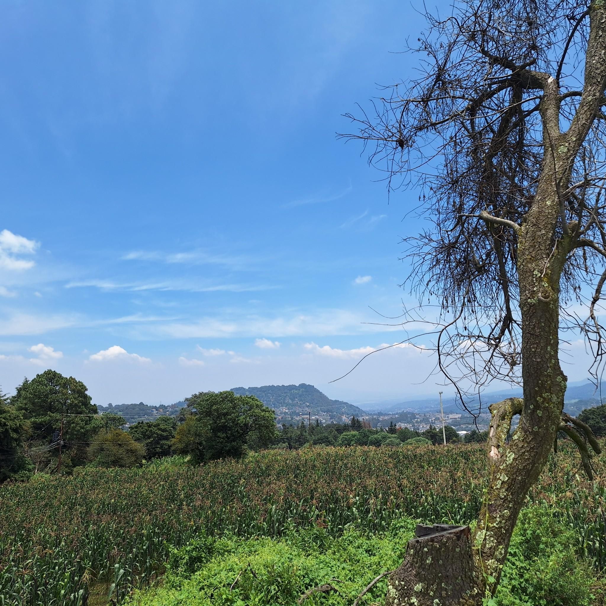
It's a small open meadow right where the path bends. The stream runs through it, and it's a good spot to rest if you're walking in the area.
0
0
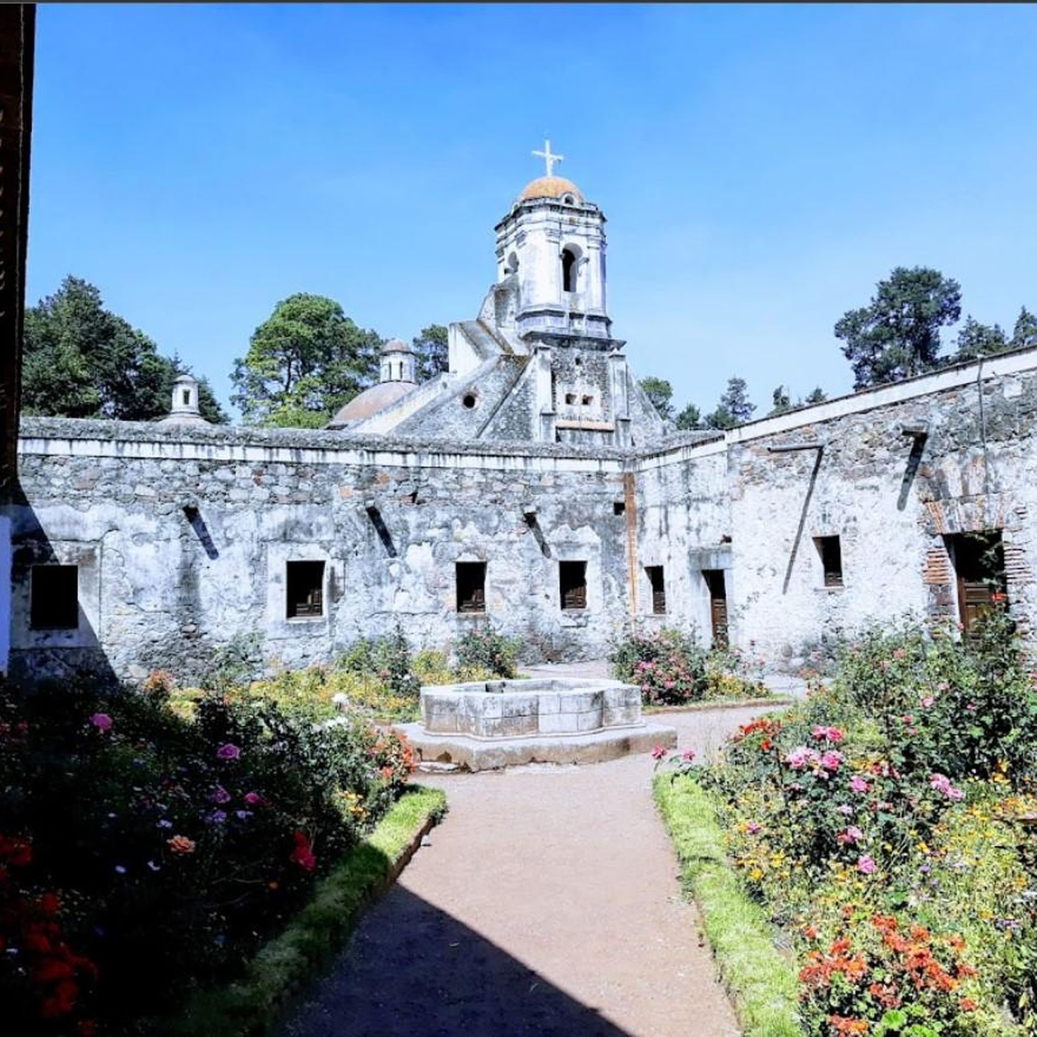
Suddenly, some buildings appear in the middle of the route through the Desierto de los Leones National Park.
0
0

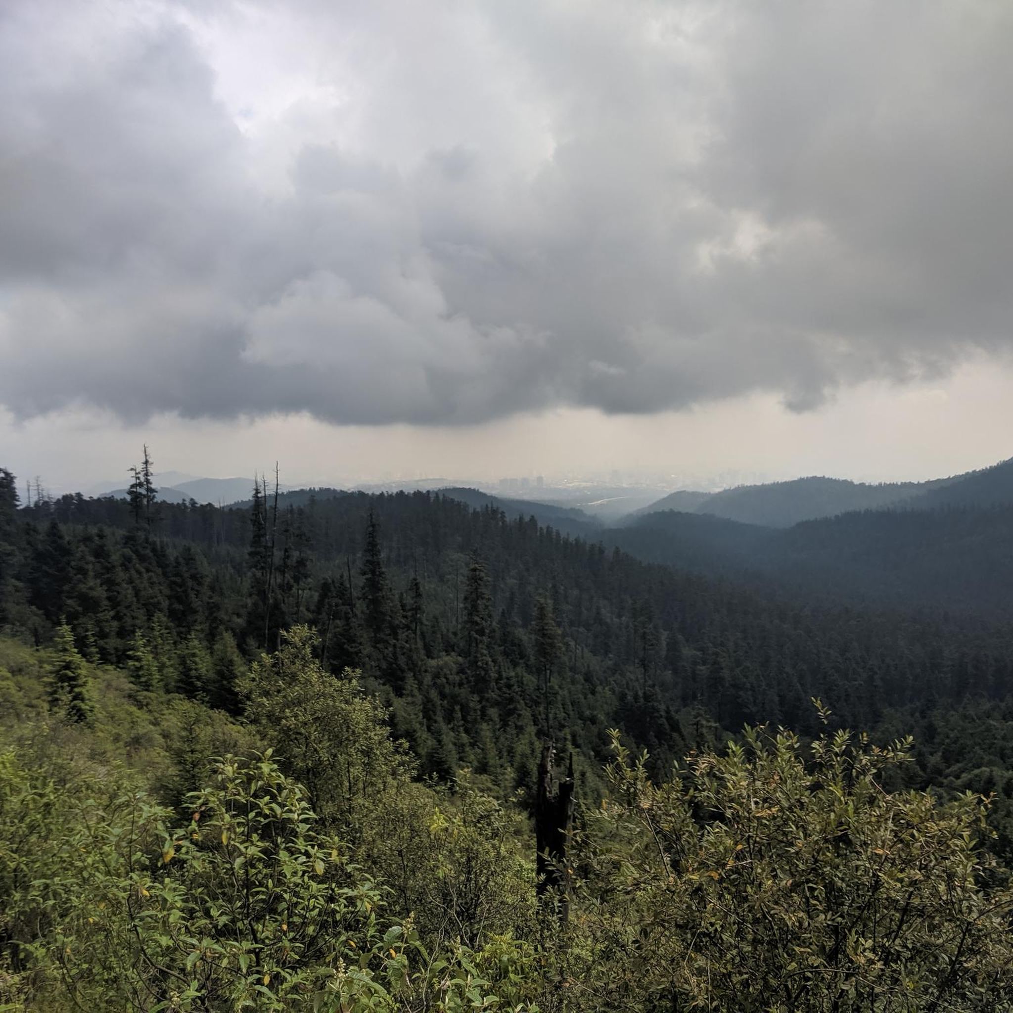
This section of trail through the Desierto de los Leones National Park is a testament to how misleading the park's name is, as instead of being a desert, it is very lush and green.
0
0

It's the perfect place to stop at the end of your adventure, rest for a moment and enjoy a comforting snack after your exertion.
0
0
This is another of the beautiful stretches through the woods that the paths in this interesting area offer. Sometimes you'll find structures made of branches.
0
0
These buildings tell us a little about the very interesting history of the former convent and everything that happened in this curious place over time.
0
0
This interesting convent, built in the 17th century by Carmelite monks, later converted into a military barracks and which holds many "paranormal" stories, is now open to visitors and serves as a base for numerous walks in the area.
0
0
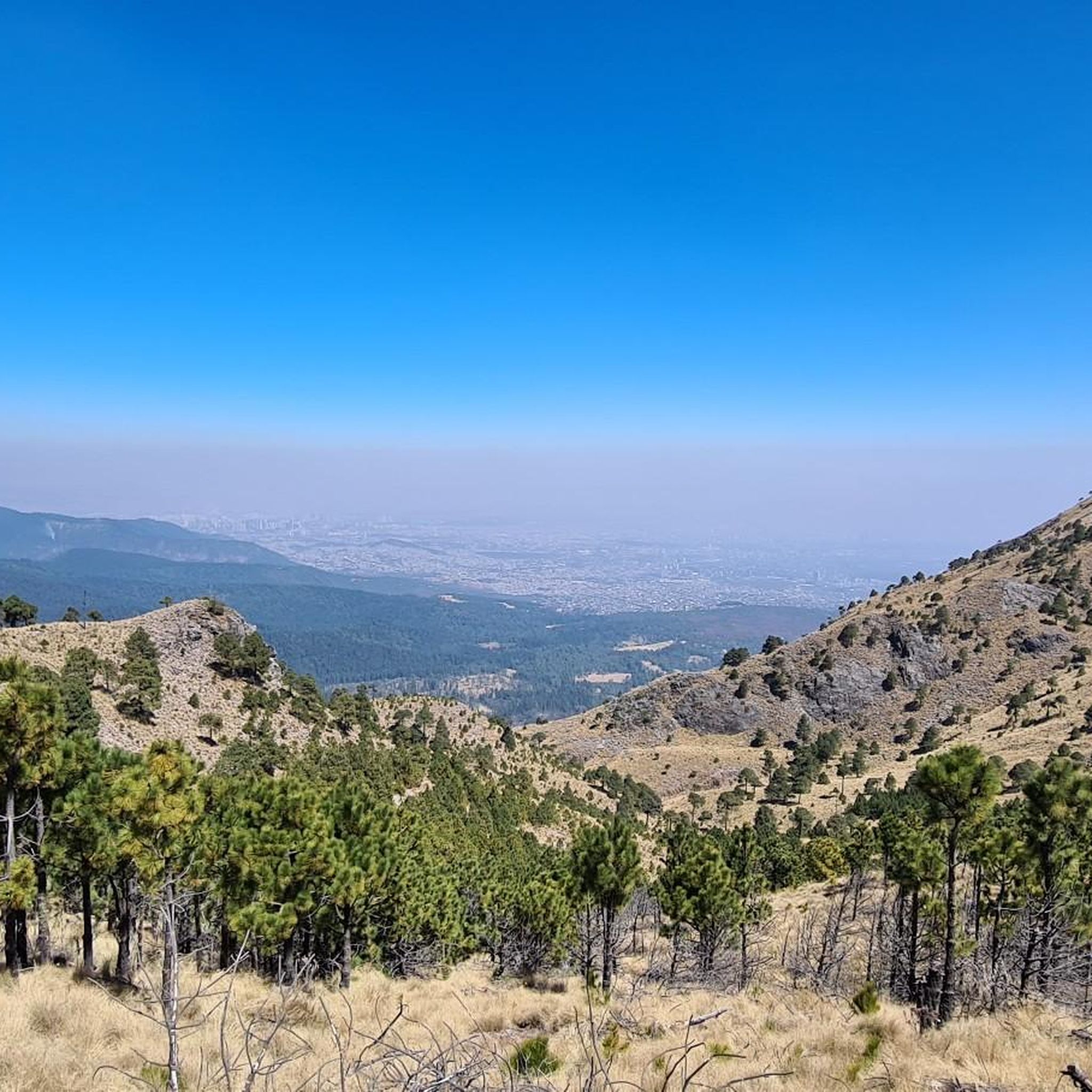
This is a perfect spot to admire the spectacular surrounding landscapes. Especially recommended at sunset.
1
0
Frequently Asked Questions
How many running routes are available in Cuajimalpa de Morelos?
Cuajimalpa de Morelos offers a diverse selection of over 10 running routes. These trails cater to various fitness levels, ranging from easy paths to more challenging routes with significant elevation changes.
Are there any easy or beginner-friendly jogging routes in the area?
Yes, for those looking for an easier run, the Running loop from Interlomas is a great option. This 3.0-mile (4.8 km) trail leads through urban green spaces and is often completed in about 30 minutes, making it ideal for beginners or a quick, refreshing run.
What are some challenging running trails for experienced runners?
Experienced runners seeking a challenge will find several difficult routes. The Oyameles Dam – Tres Caminos Dam loop from San Lorenzo Acopilco is a demanding 17.0-mile (27.4 km) path featuring significant elevation changes through the mountainous landscape. Another option is the Cuajimalpa de Morelos Hiking – Section through the forest loop from San Lorenzo Acopilco, a 16.0-km route with considerable ascent.
Are there any circular running routes in Cuajimalpa de Morelos?
Many of the running routes in Cuajimalpa de Morelos are designed as loops, offering a continuous and varied experience. For instance, the Running loop from Parque Nacional Desierto de los Leones provides an 8.2-km circular path through the national park's beautiful scenery.
What natural features or landmarks can I expect to see along the running trails?
The running routes in Cuajimalpa de Morelos often pass through stunning natural environments. You might encounter features like the Oyameles Dam and Tres Caminos Dam, or enjoy panoramic views from the Peñas de Shiro Viewpoint by the Hermitage. The trails frequently traverse dense forests, offering a refreshing escape into nature.
What do other runners enjoy most about jogging in Cuajimalpa de Morelos?
The running routes in Cuajimalpa de Morelos are highly rated by the komoot community, with an average score of 4.9 stars from over 20 reviews. Runners often praise the extensive forests, varied terrain, and the refreshing escape from the urban environment that these trails provide. The mountainous landscapes and green spaces are frequently highlighted as key attractions.
Is Cuajimalpa de Morelos suitable for altitude training?
Yes, Cuajimalpa de Morelos is situated around 2,790 meters above sea level, particularly within areas like Desierto de los Leones National Park. This makes it an excellent location for altitude training, offering varied terrain with inclines that can challenge and improve your fitness.
Are there any historical sites along the running routes?
Within the prominent Desierto de los Leones National Park, you can explore the historic Ex Convent of Desierto de los Leones. This landmark adds a cultural dimension to your run, allowing you to combine physical activity with a glimpse into the region's history.
What kind of terrain can I expect on the running trails?
The terrain in Cuajimalpa de Morelos is quite varied due to its mountainous location in the Sierra de las Cruces. You can expect undulating paths, rolling hills, and significant inclines, especially in areas like Desierto de los Leones National Park and El Ocotal Forest. Many paths are accessible, but some challenging sections require good fitness.
Are there any routes that feature unique structures like bridges?
Yes, some routes offer interesting architectural elements. For example, the Section through the forest – Wooden bridge loop from Parque Nacional Desierto de los Leones includes a notable Wooden Bridge on the Three Paths Route, adding a unique point of interest to your run.
What is the best time of year for running in Cuajimalpa de Morelos?
Cuajimalpa de Morelos generally offers a cooler climate due to its mountainous elevation. While specific seasonal conditions can vary, the abundant forests provide shade, making it pleasant for running throughout much of the year. It's always advisable to check local weather forecasts before heading out.
Most popular routes in Cuajimalpa De Morelos
Most popular attractions in Cuajimalpa De Morelos

Get inspired with the komoot mobile app


Explore more
Browse the best Running Trails & Routes in other regions.
